I ran into a few cowboys with their dogs. They were heading out to round up some of their herds and get them closer to the loading chutes. I was asking about the dogs. They said they use the horses to set the general direction for the herd and the dogs work the perimeter to keep them all bunched up. I wonder how they train them to do this.
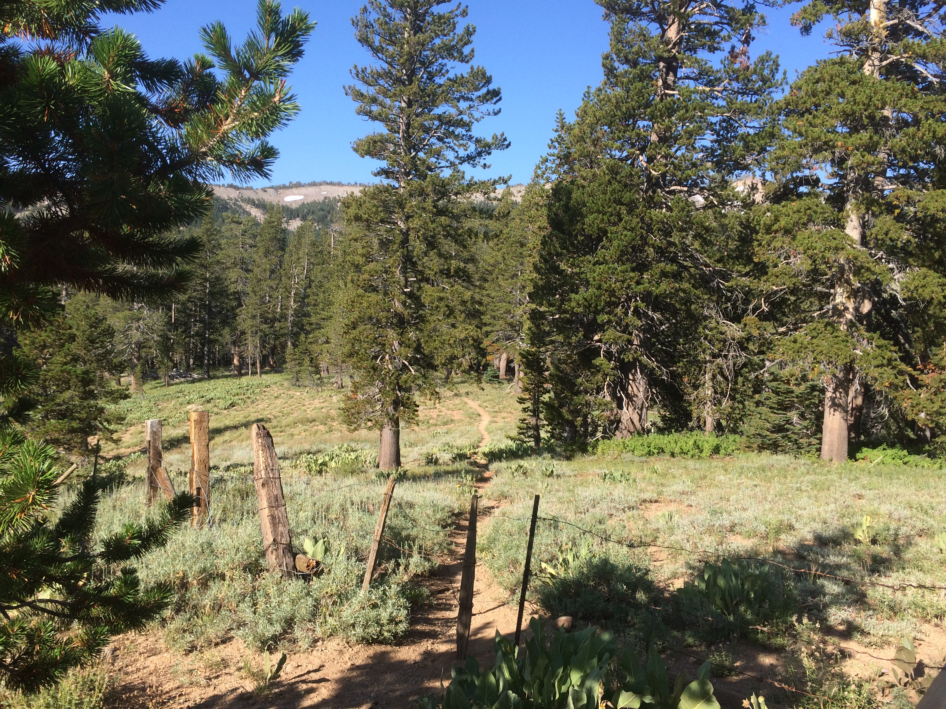
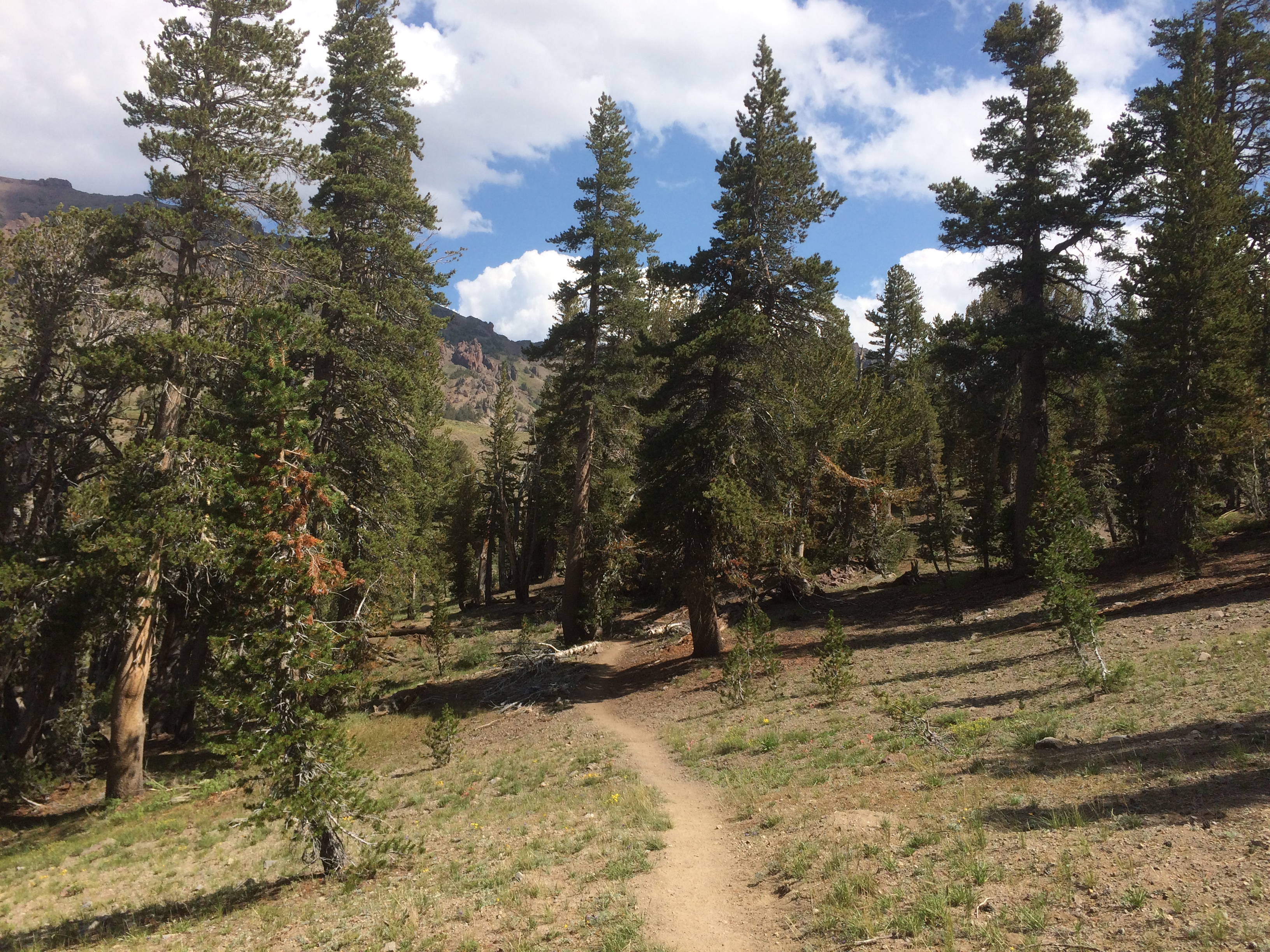
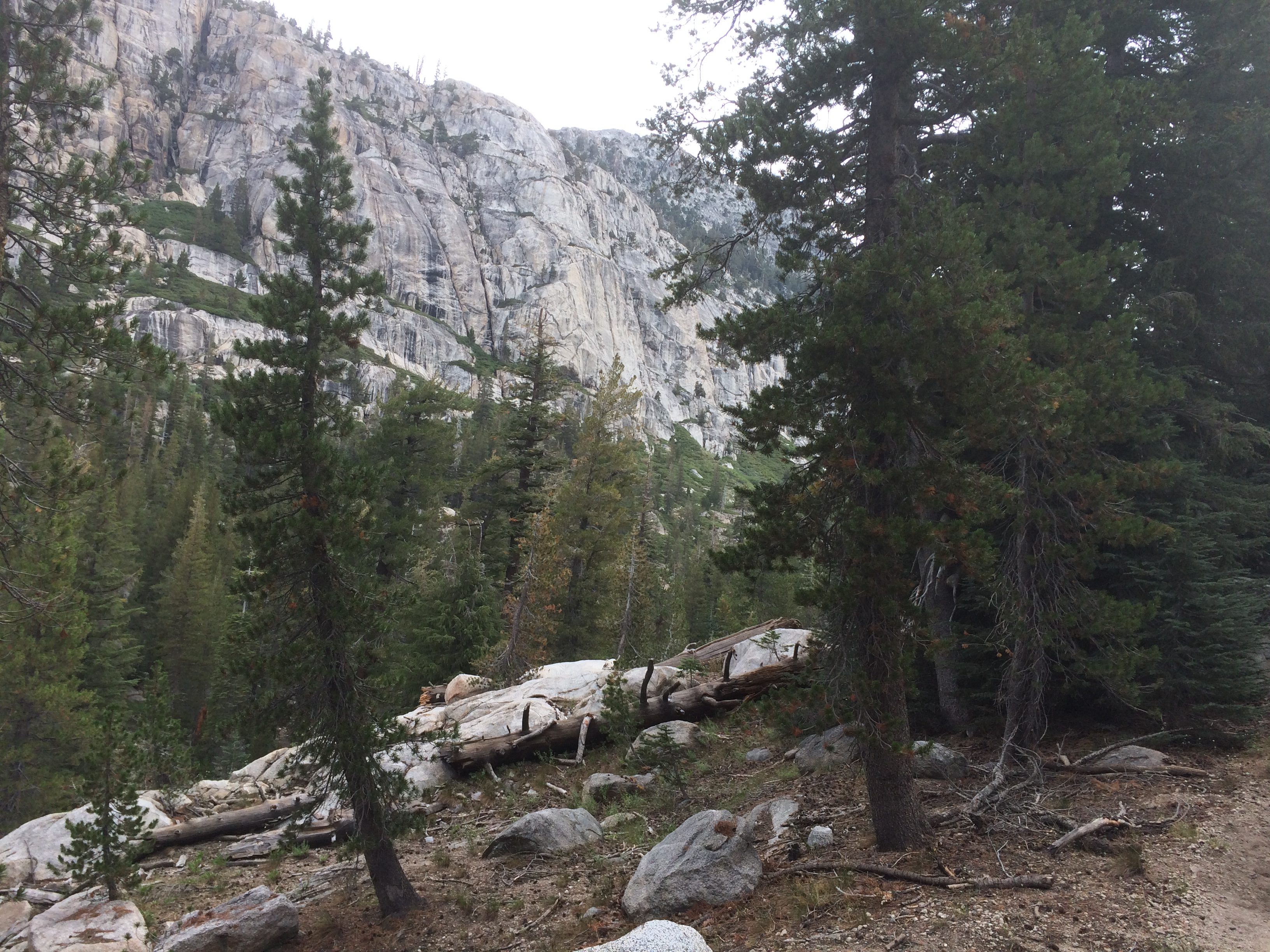
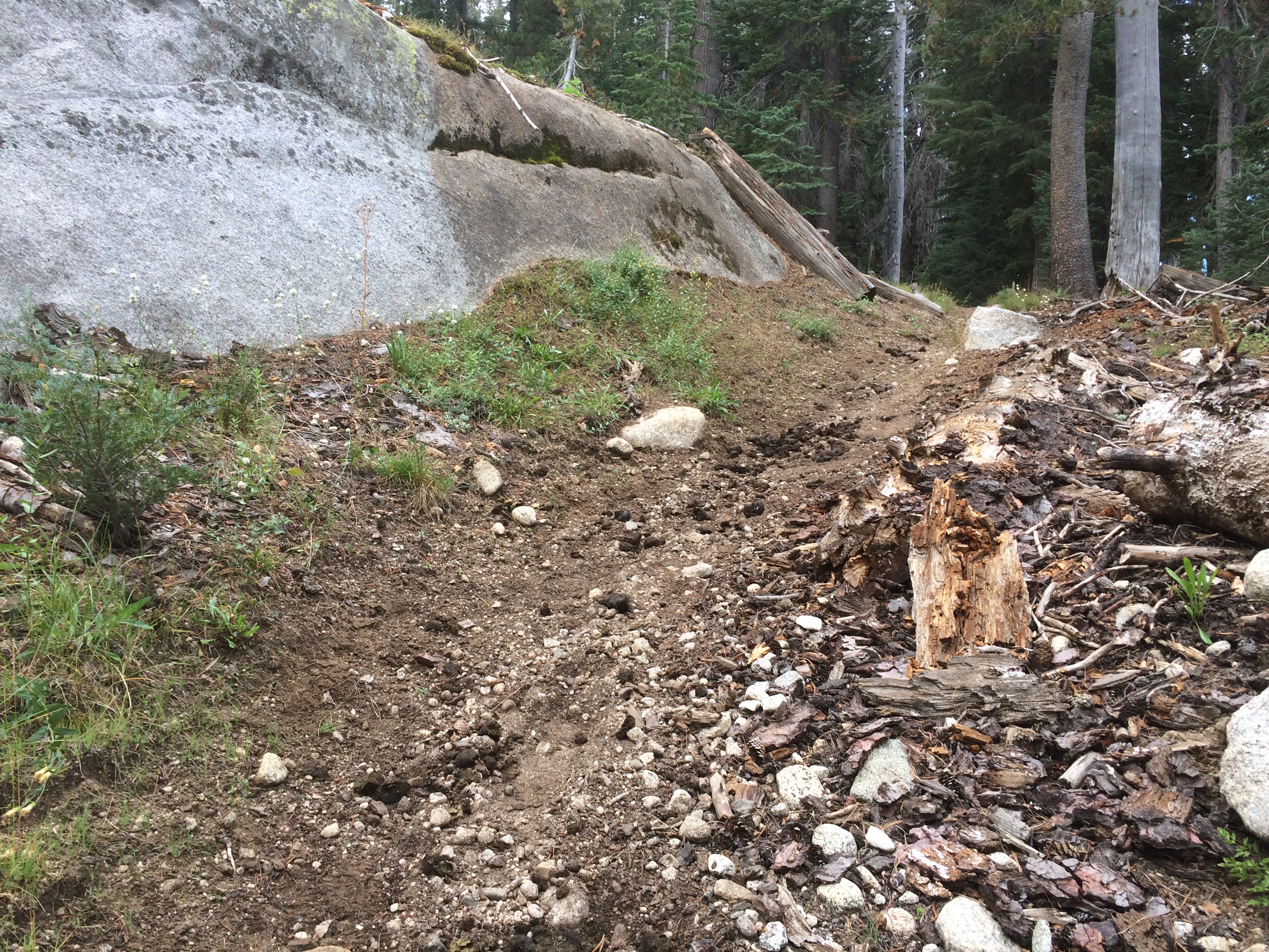
I got through the last fence and entered an area of old lava flows. Made for some interesting change of scenery. This stuff is pretty old so the trail was not bad to walk on. Most of the loose stuff had been weathered down.
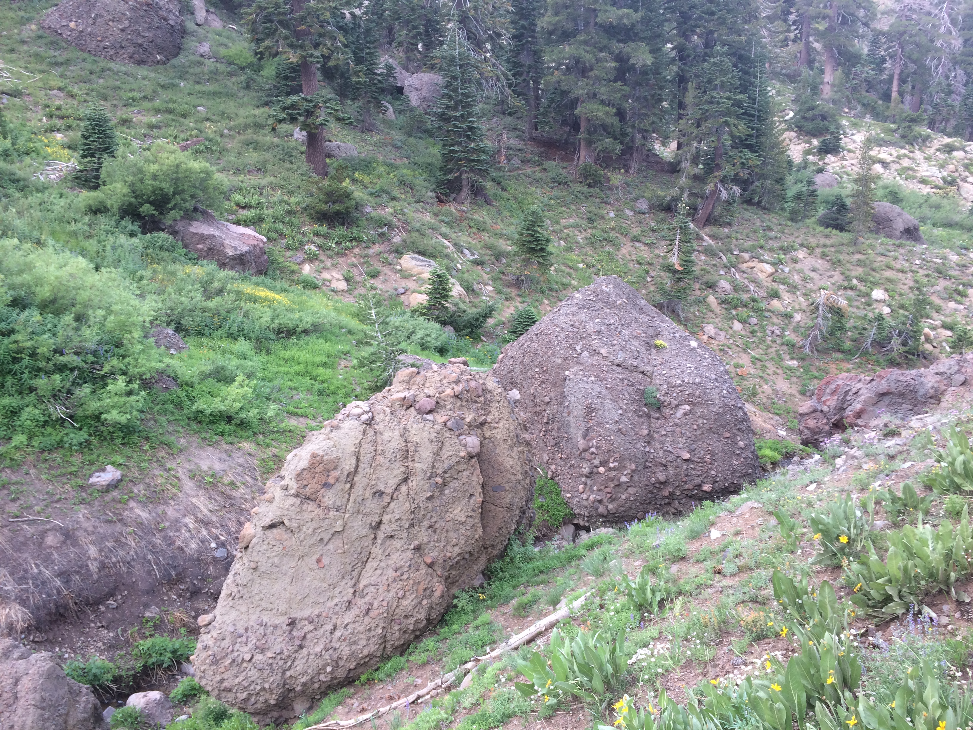
There were a bunch of mixed lava / rock balls that had rolled down the hills over time. They make interesting set pieces.
Lava Balls!!
Somewhere along the trail I ran into some old friends. A Swiss couple that I first met South of Big Bear. They had earned the trail names of Gilligan and Mongoose. I recalled that they had done some mountaineering in the Swiss Alps and were carrying some pretty sophisticated looking equipment for snow and ice climbing. Well, it turns out that they did a bit of the Sierras in early June and determined that it was too sketchy. They bounced up to Washington and southbounded from there. It was good to see they didn’t mindlessly push through.
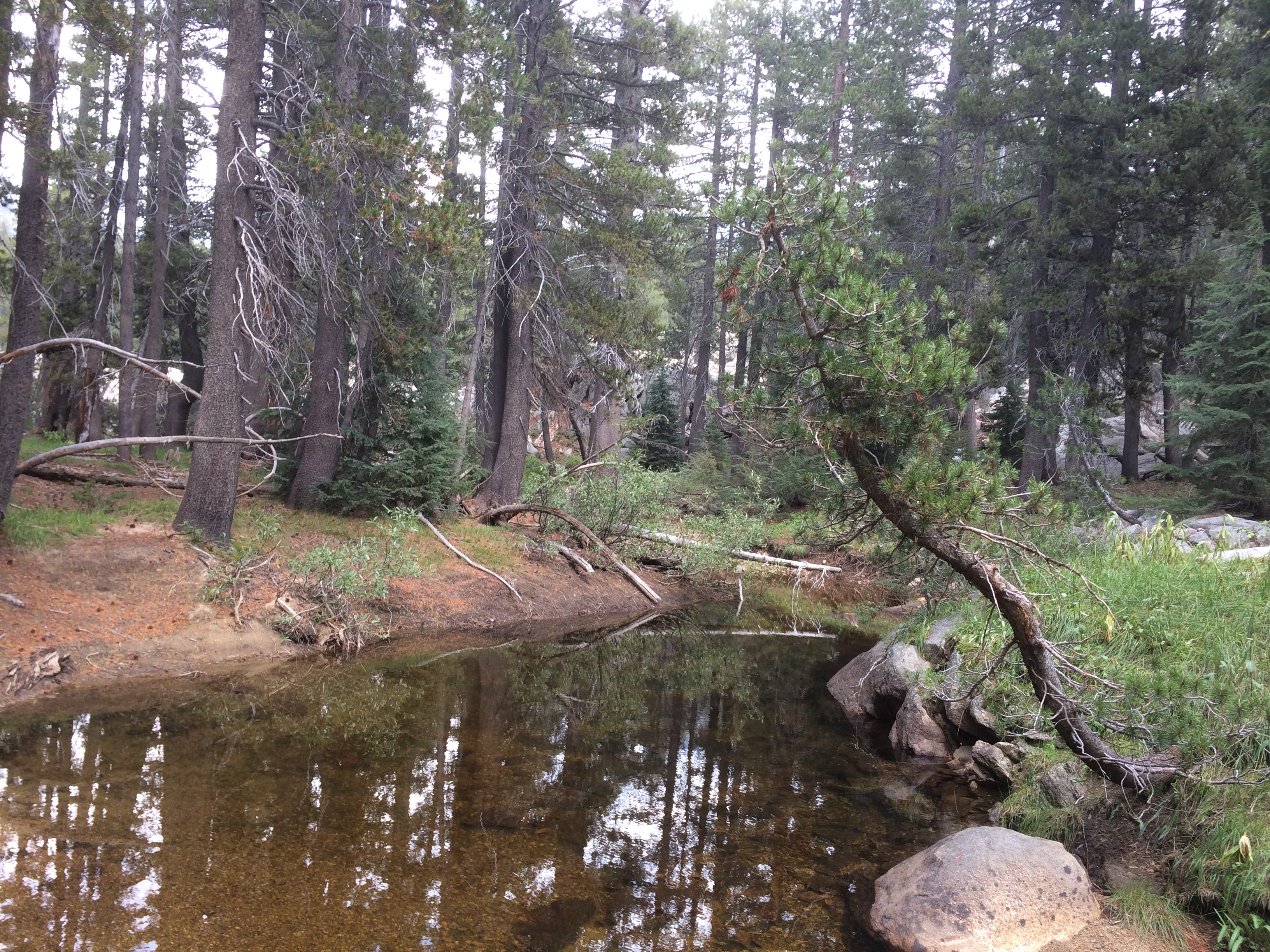
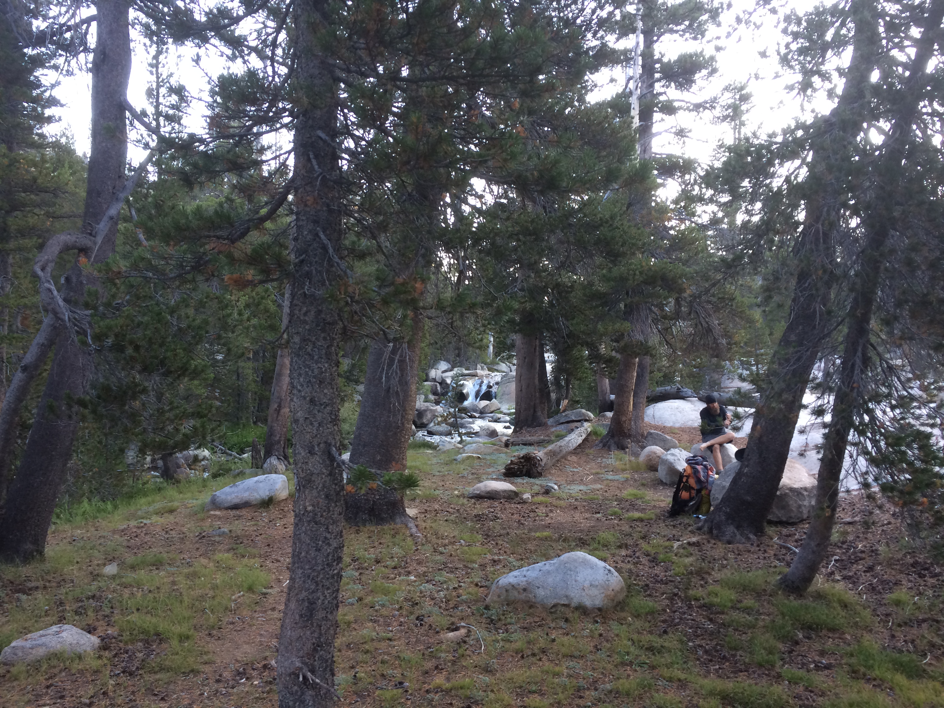
I found a nice spot near a stream and solo camped for the night. I decided to take it easy for a while, going to try to keep to 20 mile days.
A couple of hikers turned up last night to join us in the bunk room. One guy is a young math teacher from NYC named Taco Cat. I asked him about his name, he said I should think about it first then ask him. I filed that one away and thought about it taking a shower the night before. It spells the same name in reverse. Typical math geek stuff. He is hiking southbound.
The other character is a Hispanic kid named Kickback from San Bernardino. Oh boy, this kid is a riot. He decided to northbound somewhat on a whim in June. He didn’t bother researching much or agonizing over his gear choices. He just got a big pack and stuffed crap in it. The funniest thing he is carrying is one of those 7 pound mesh chairs you might take to a cookout or a parade. He said REI wanted $10 for a lightweight camp chair, so he just went to Walmart and bought this thing for 15 bucks. He has been humping the monster since Campo.
Kickback is meandering up the trail taking his time. When he was near Mojave, he called his buddies and went to Six Flags to ride roller coasters. Later he came out of the Sierras for a resupply and spent 5 or 6 days at a hostel doing odd jobs and smoking an ounce of pot some guy gave him. He is starting to get semi-serious about mileage and is planning to reduce weight soon. No way he is going to get out of California this year, imo, but I think he will eventually turn into a hardcore hiker some day. He just has a great attitude.
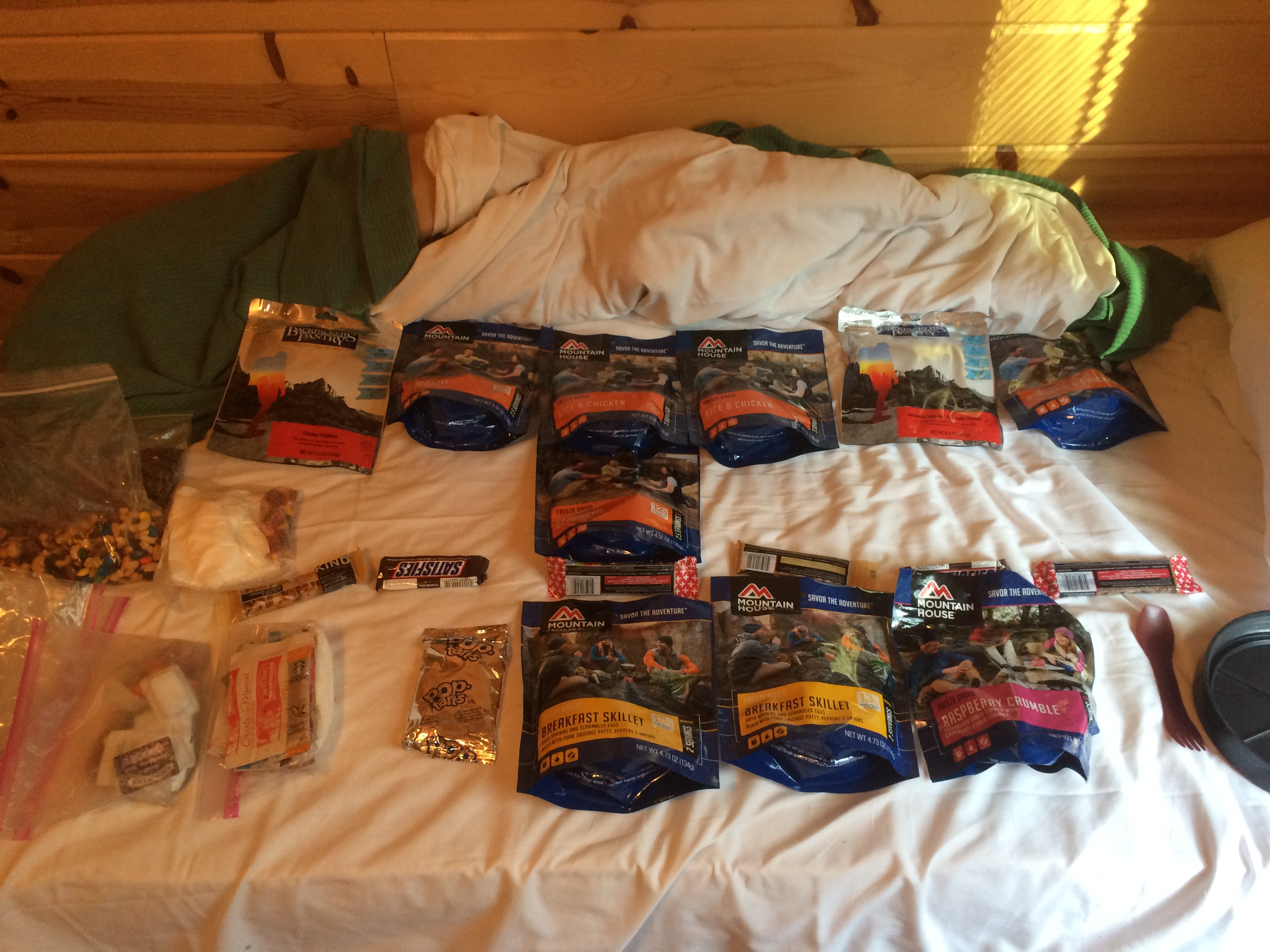
We all had breakfast together. Afterward I organized my food, bought some extra, and setup for the last segment. It will be a 140 mile carry to finish. Most folks resupply in South Tahoe, but I’m going all the way to through. I need all 7 hiking days to finish this by September 15. Fortunately I can dump this bear canister / boat anchor. I’m going a bit light on food, I figure hunger will be a good motivator.
Starvation Will Inspire Me to Great Deeds
Soho ankle is bothering him again. He says he’ll get his resupply in the afternoon and, if he feels up to it, will leave later and catch up. I know his heart is not in it. He is done. I will finish this hike as I started it. Alone. It feels somehow appropriate.
I packed up and headed out to the highway. It took 30 minutes to get a hitch. Nice guy heading up for some day hiking. When I got dropped off, a couple of older guys who are doing a few days hiking came over to ask for help finding the trail. I recognized their car, it passed me earlier when I needed a hitch. Thought about rubbing that one in their face. I got them on the trail, then accelerated away. It was about 11 in the morning.
Stay Mellow, My Friend
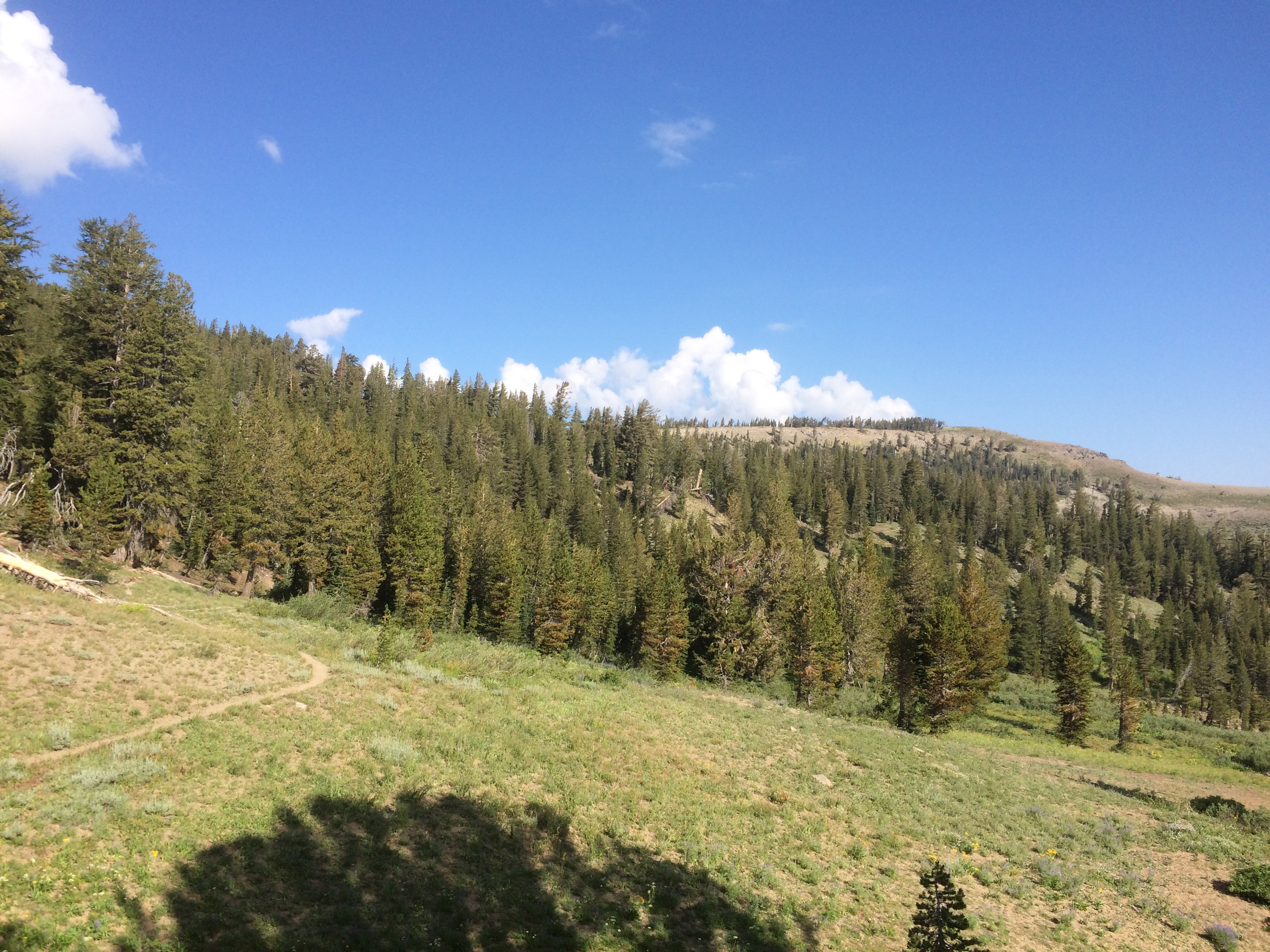
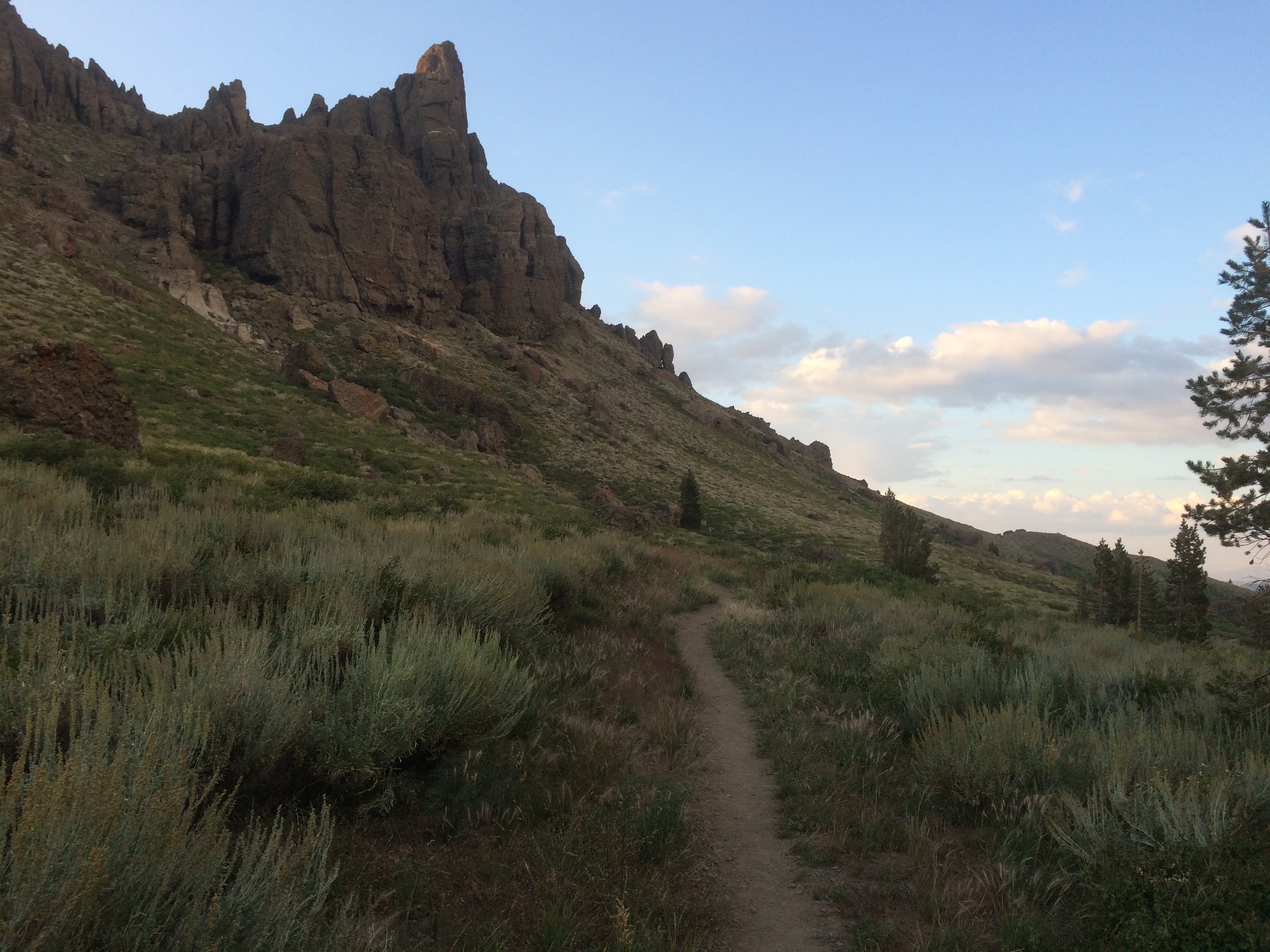
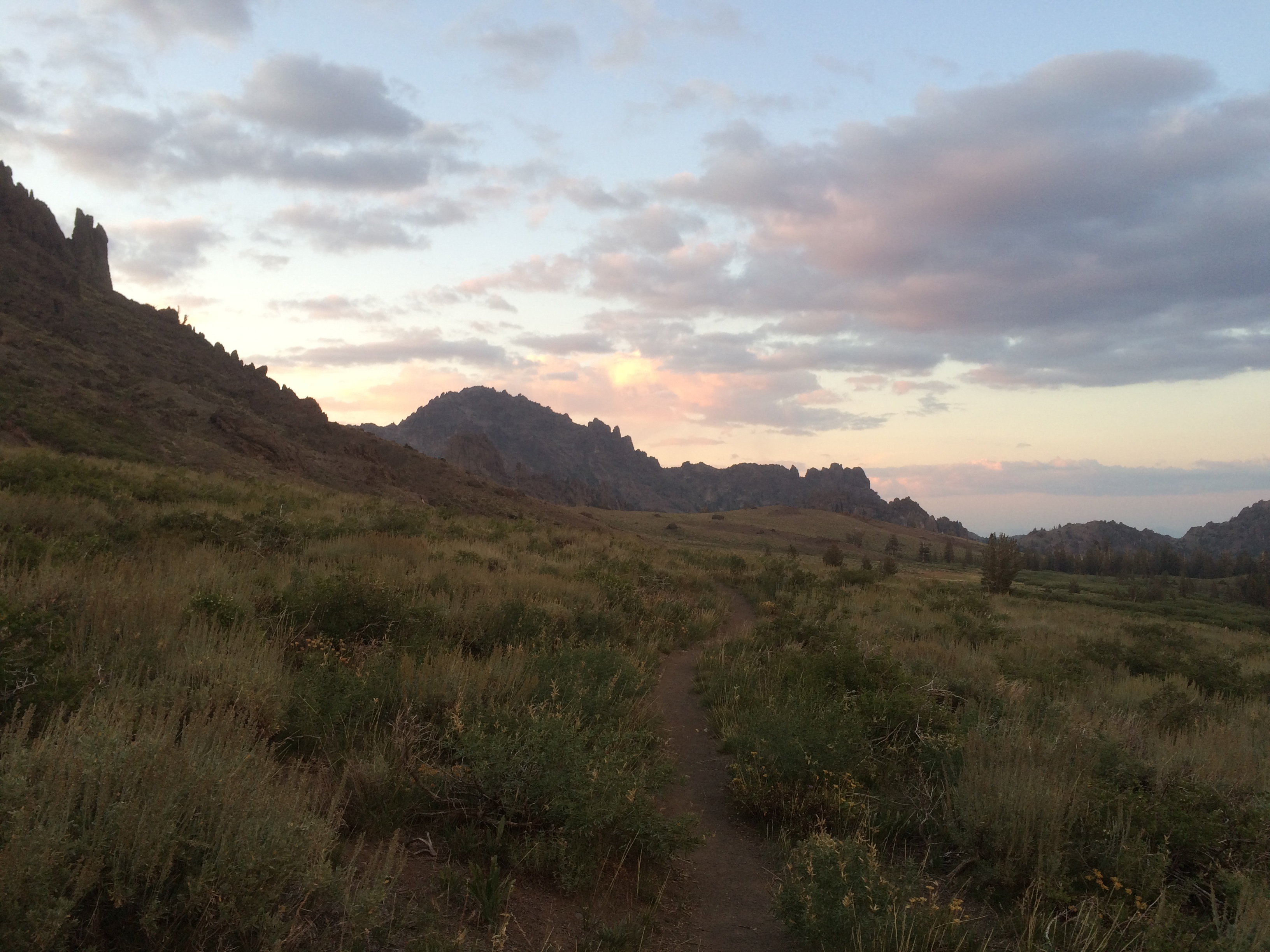
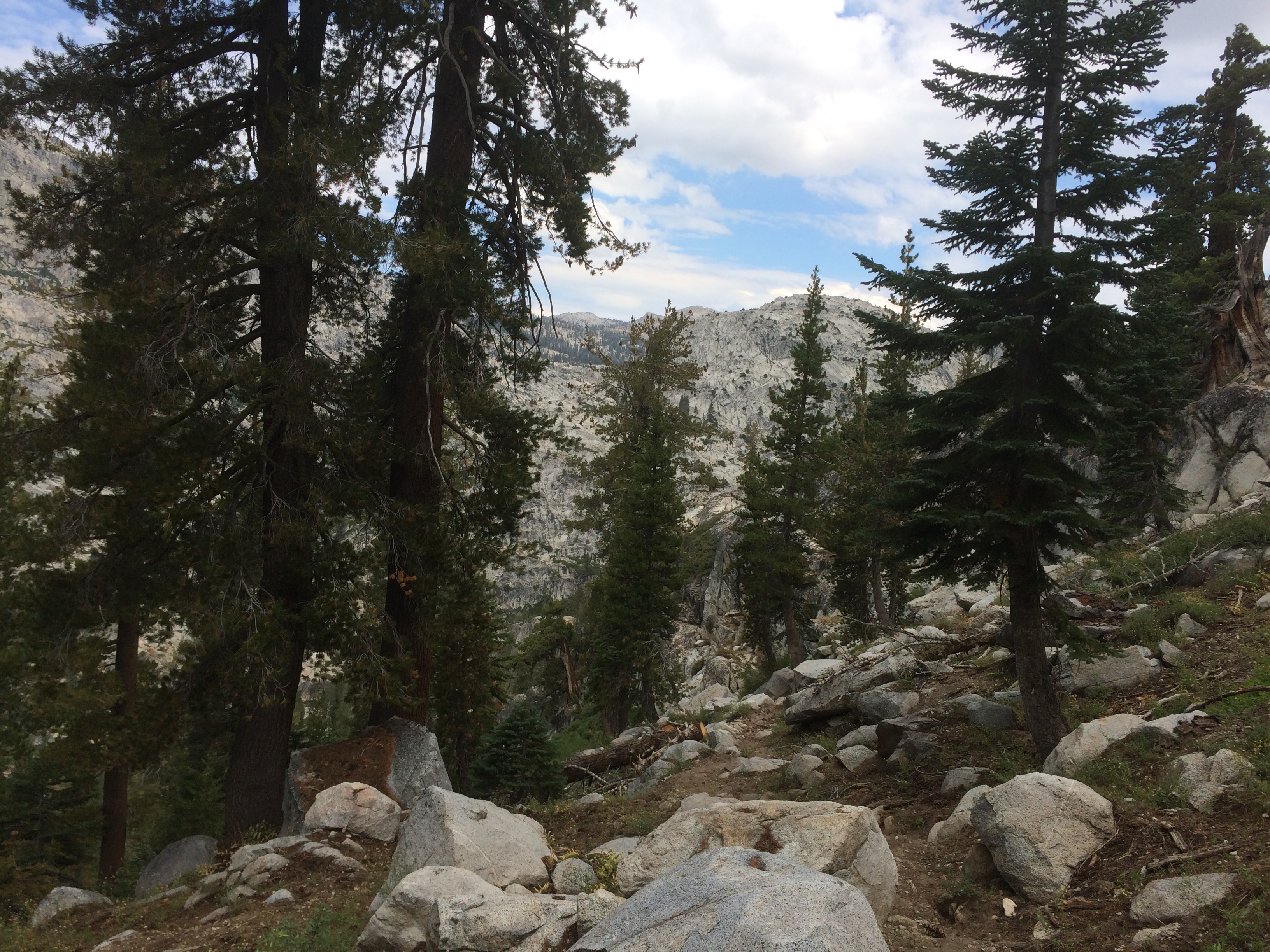
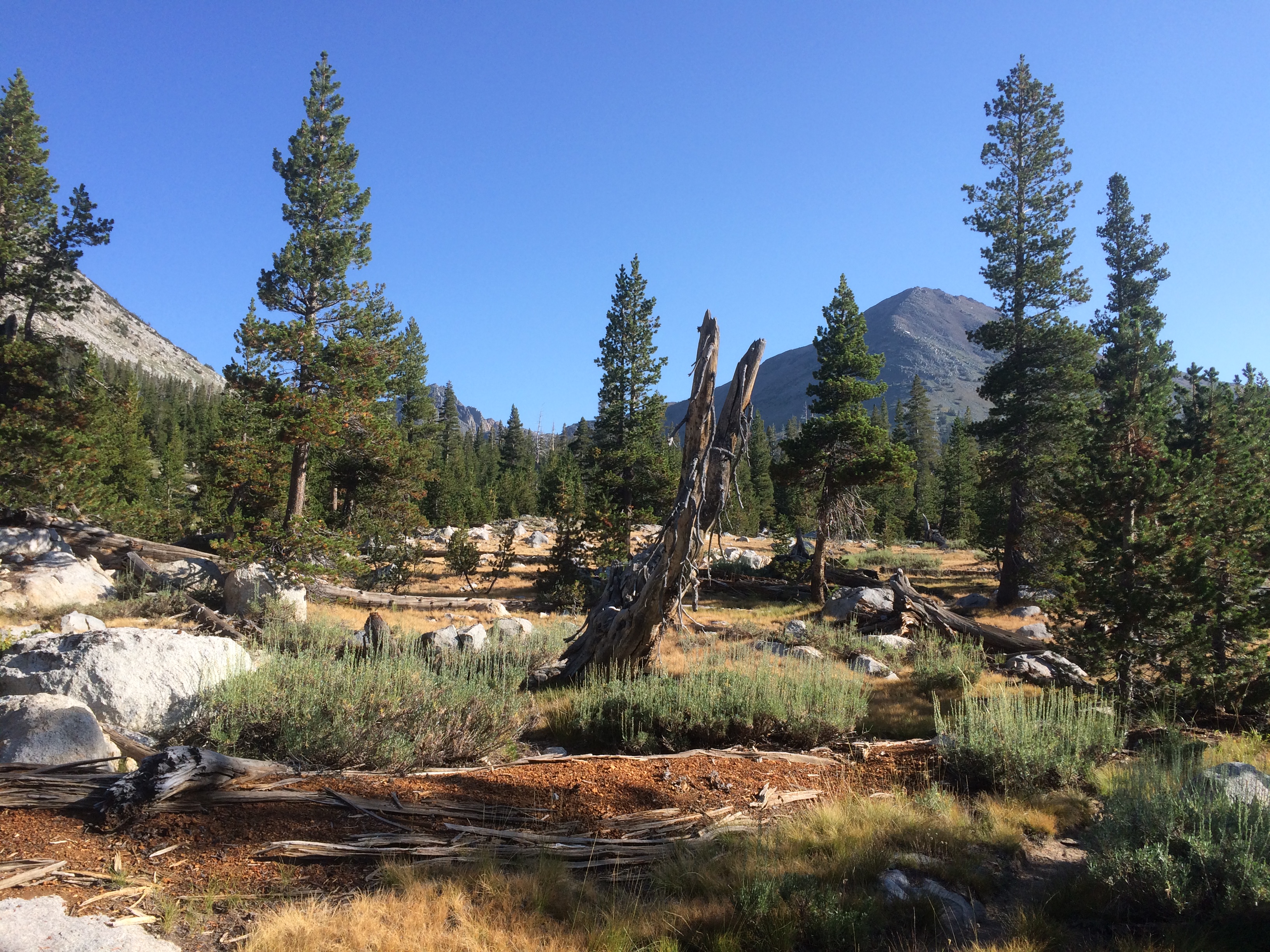
The trail is mellowing out as I head into the Tahoe area. The amount of vertical is the same, 3 to 5k feet over ~20 miles, but the grade is generally easier. Good place to make miles.
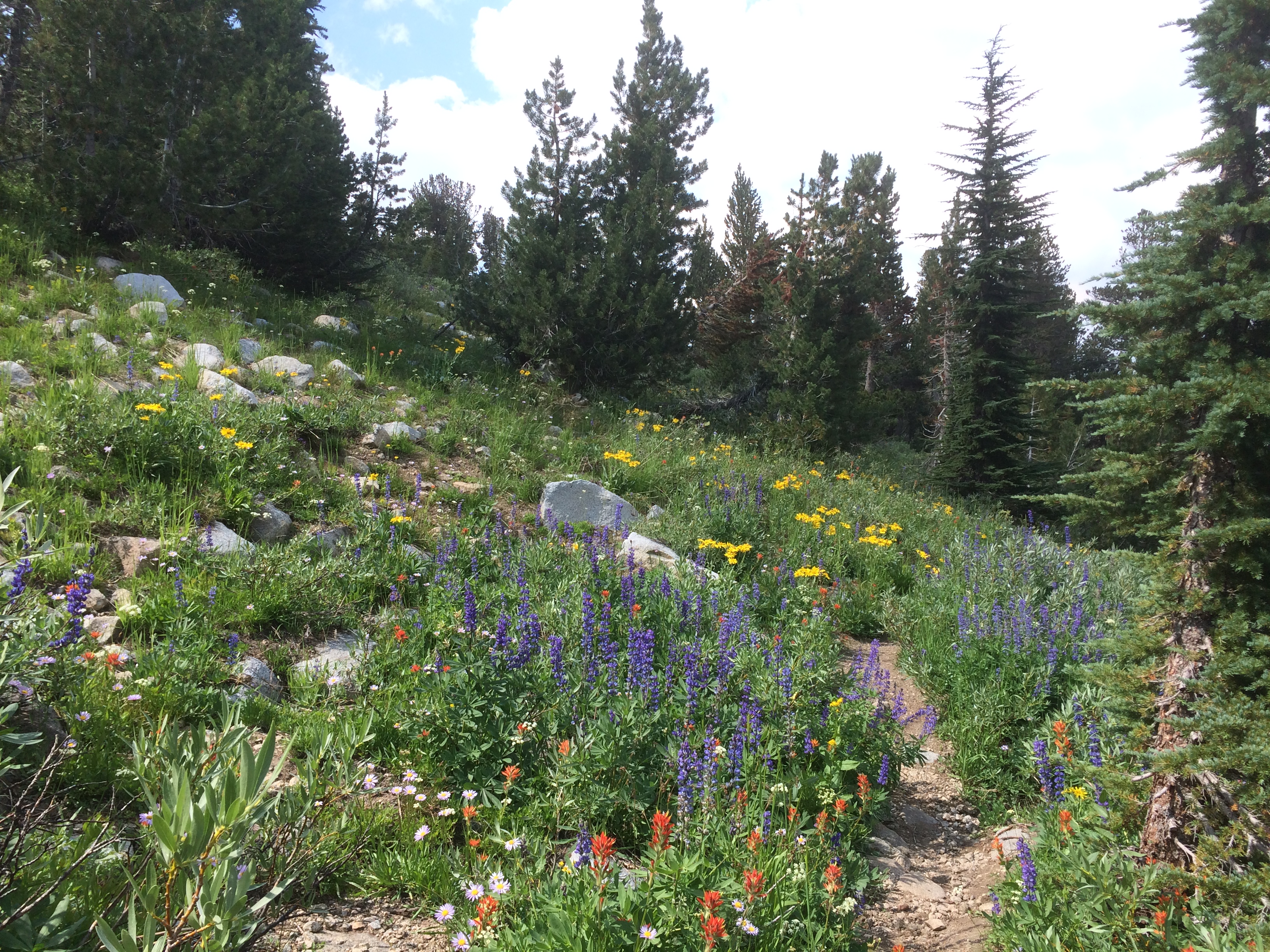
The Flower Gardens Are Still Out
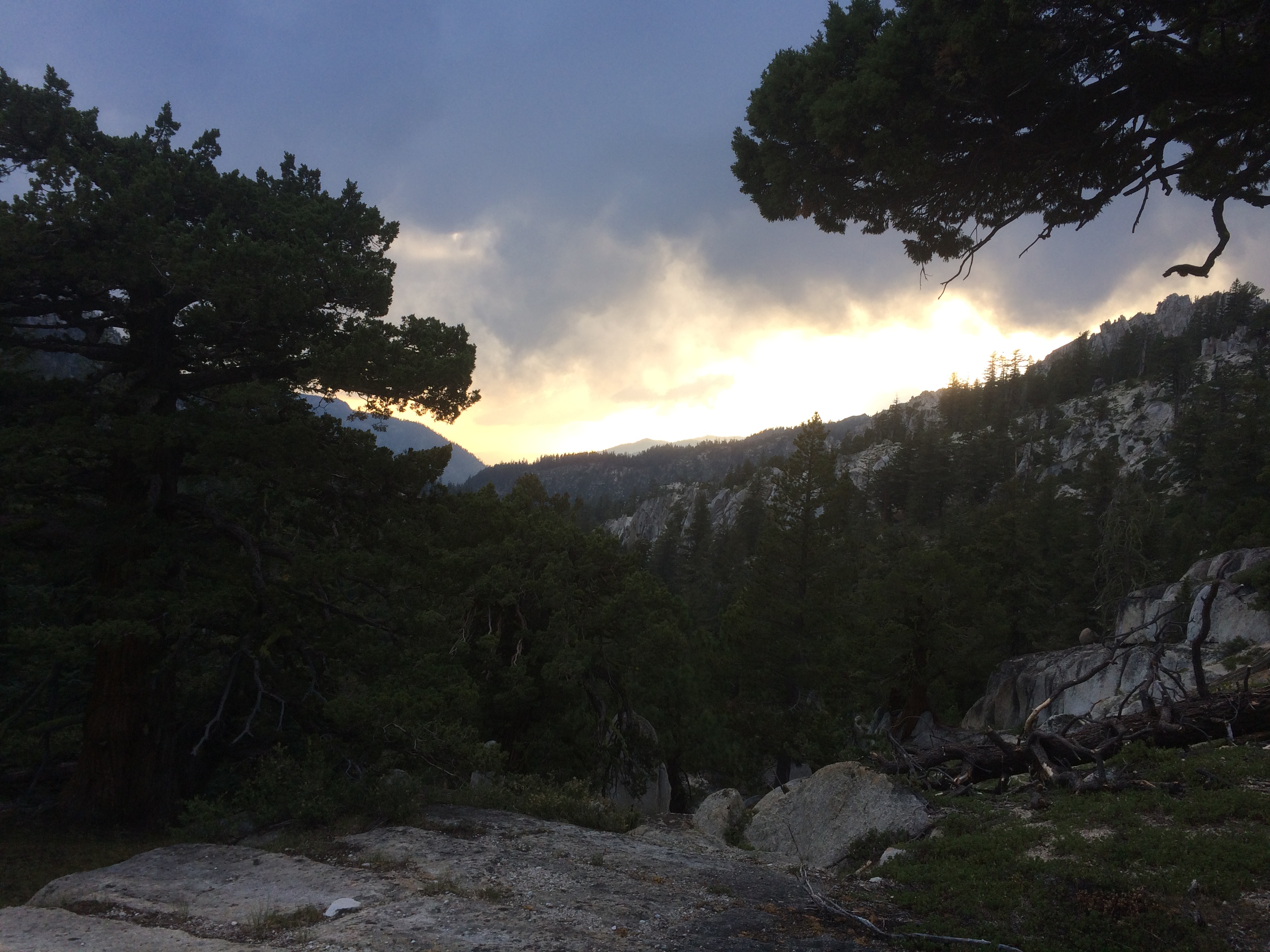
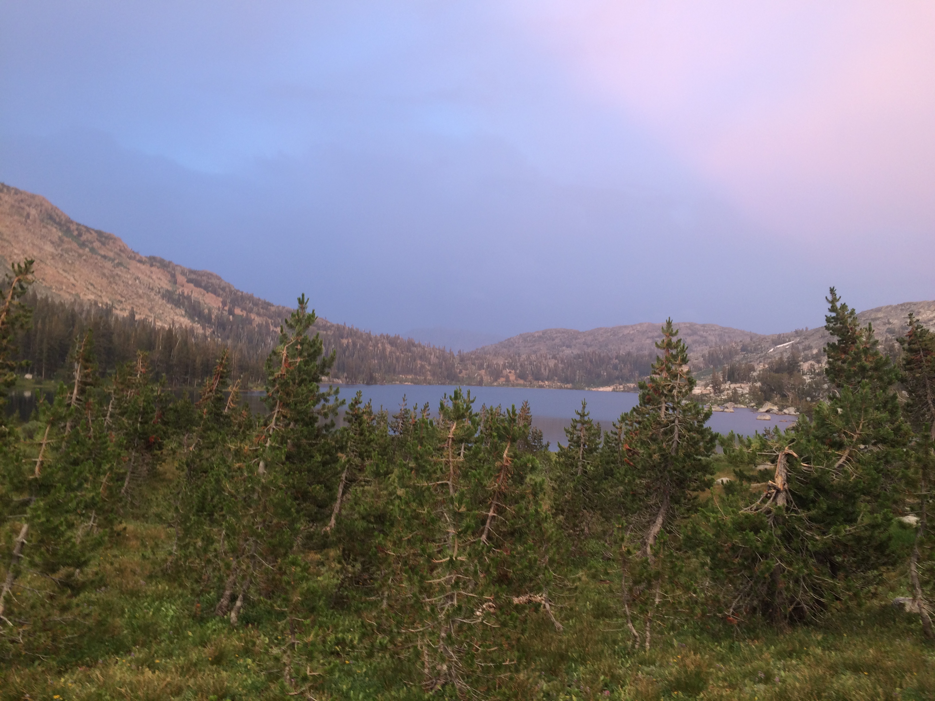
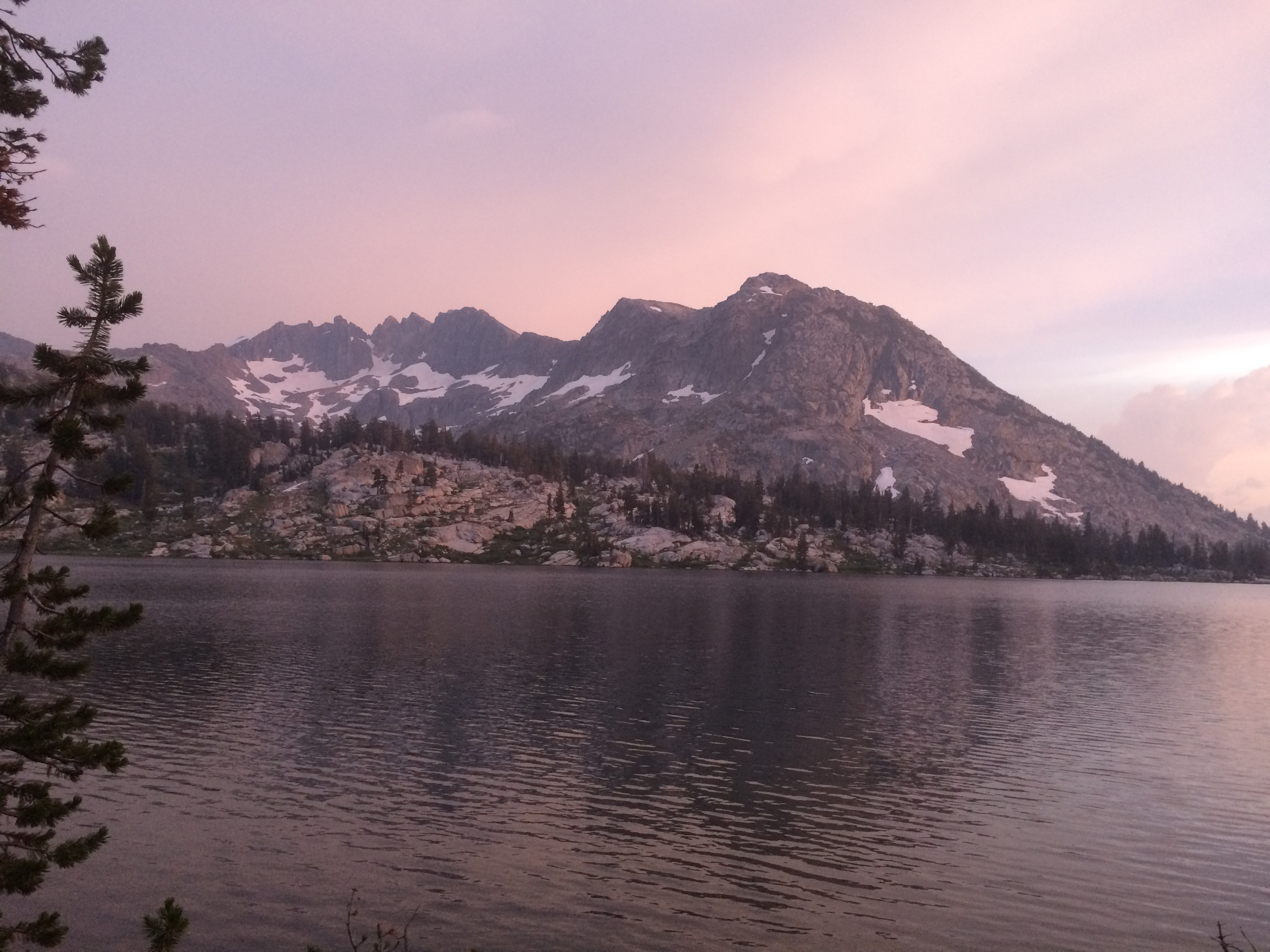
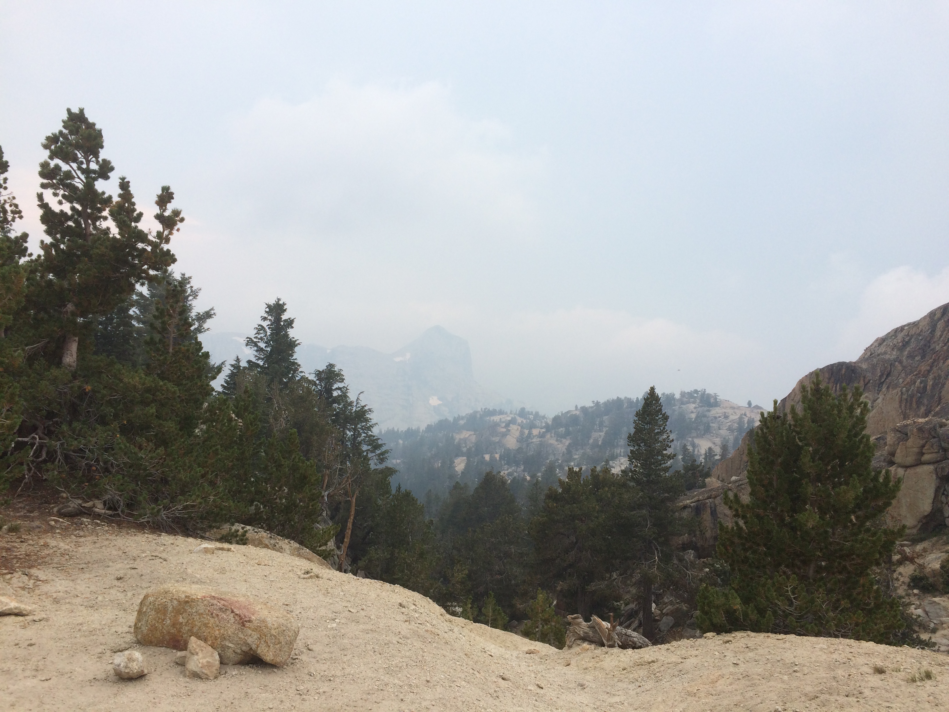
The weather continues its usual rhythm. Blue skies in the morning, clouds roll in early afternoon. Then some thunder and a shower or two. The worrying thing is that the cycle seems to be starting earlier each day. I’m hearing from other southbounders stories of being caught in nasty weather. It all depends on which pass or valley they are in. Some get pummeled others get a few drops. I hope I get lucky.
Ran into the Czech Bam Bam who I last saw in Beldon 45 days ago. He made it up to Washington, then flipped back to do the Sierras. Got a picture this time. Gave him Soho’s number since I’m pretty sure Soho will be hanging around Mammoth over the next week.
The Czech Bam Bam
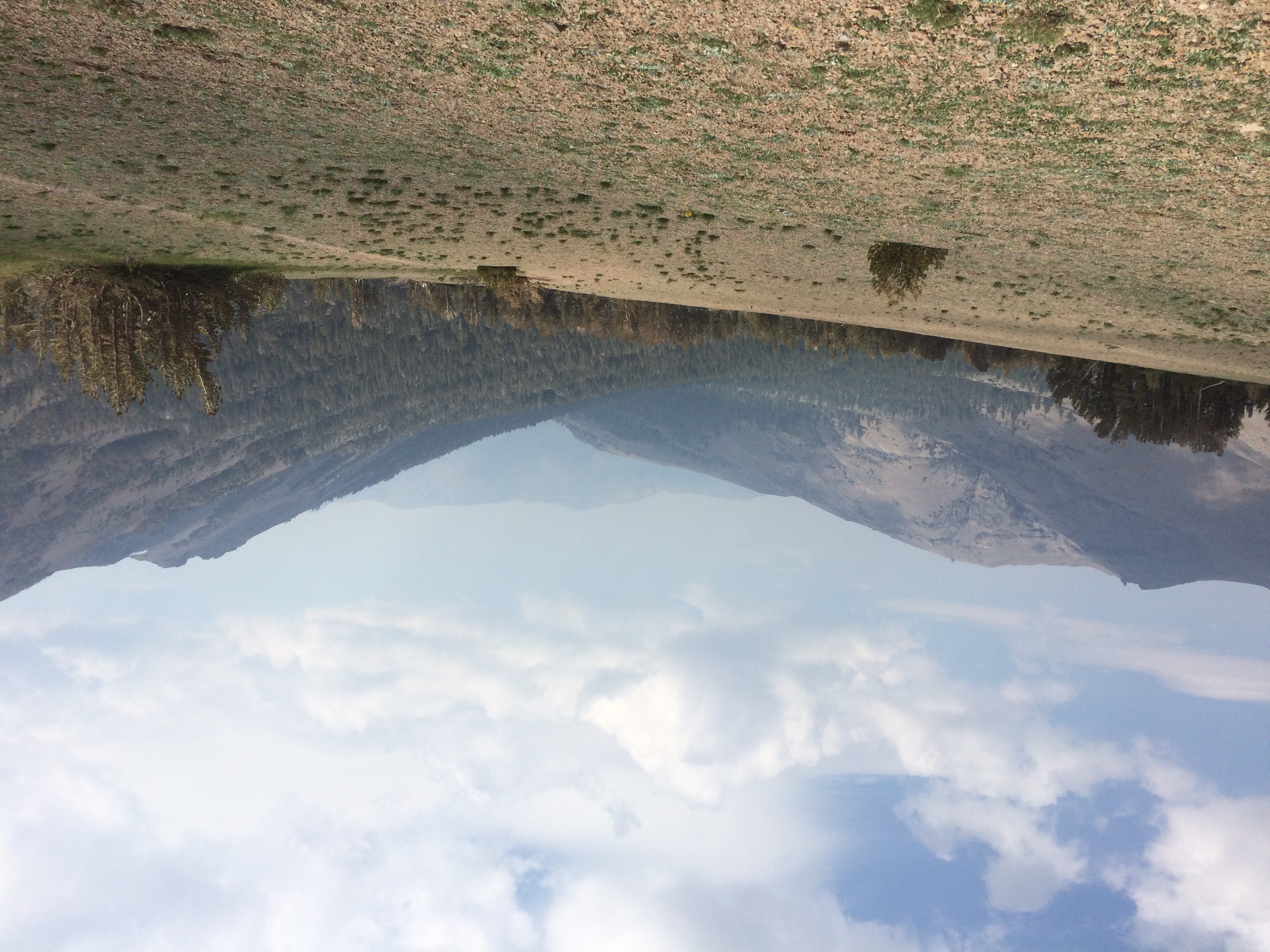
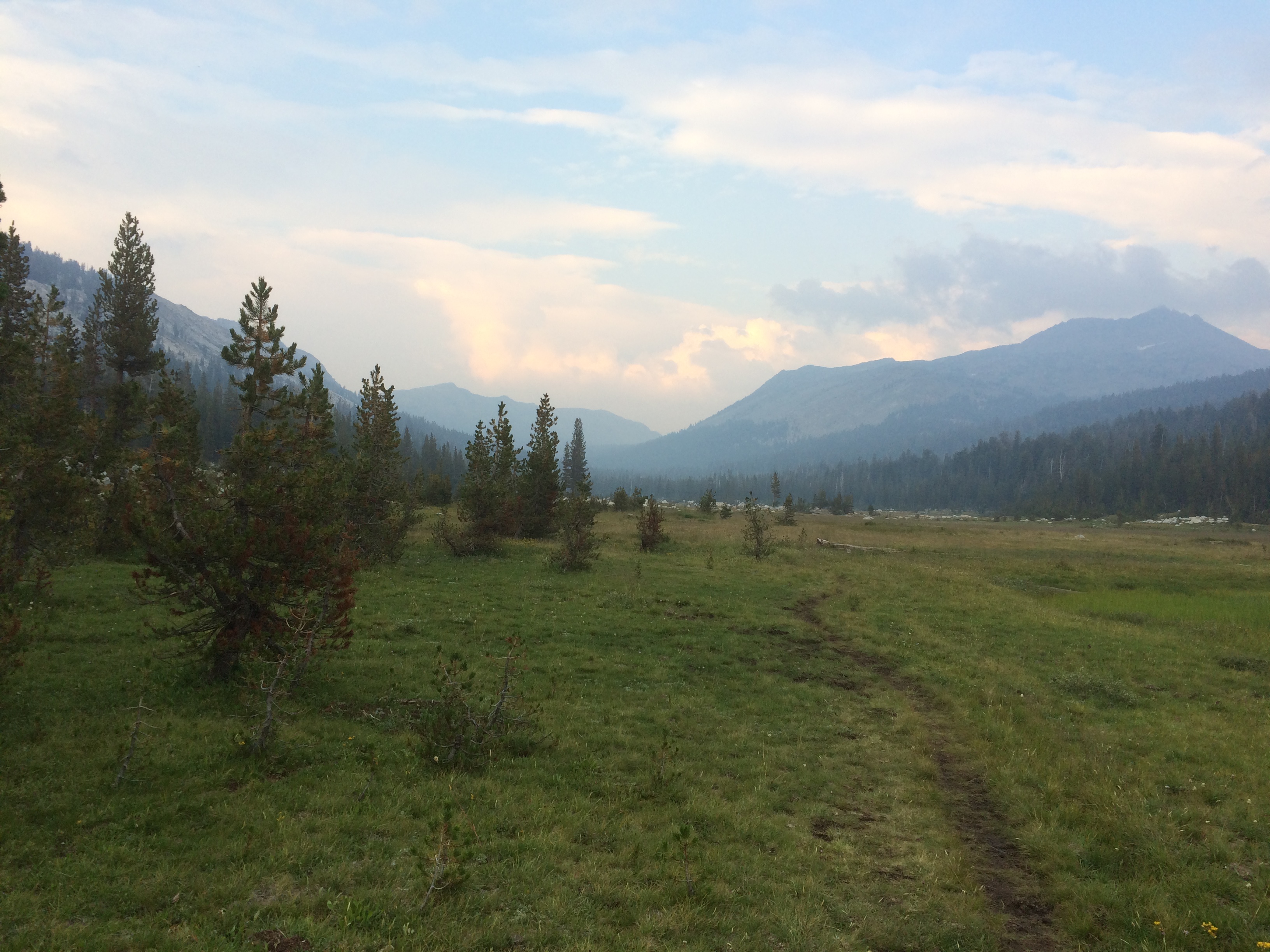
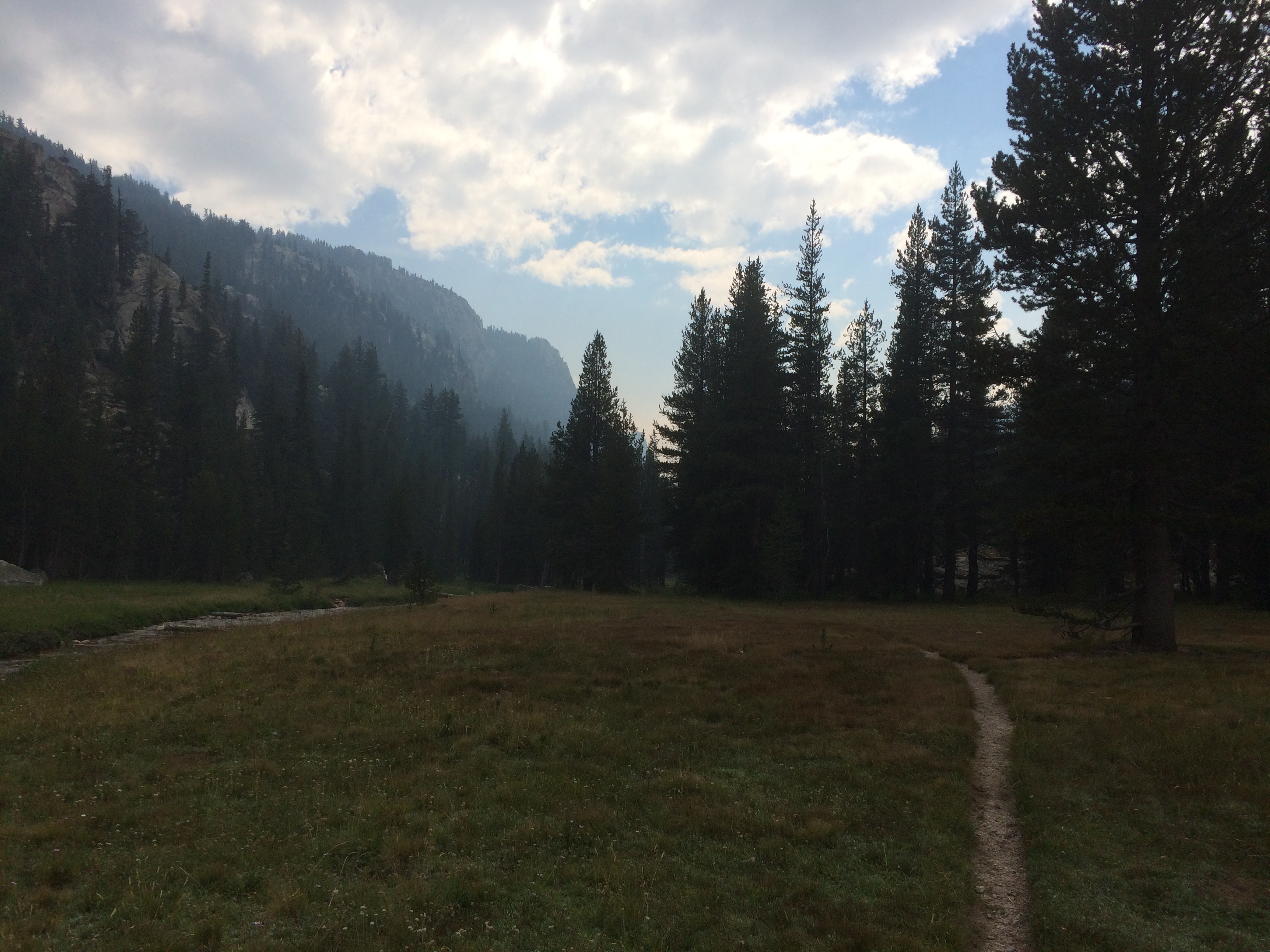
There is a stretch of cow pasture I need to travel through starting at mile 1033. I stopped a couple miles before that to camp.
Time For Dinner
Oddly, a couple of southies showed up about the same time and we camped together. Leafy and Bull frog. We were swapping stories well into the night. These guys had a good one about 4 days ago when they first met.
They ran into each other on an exposed ridge in a thunderstorm. Lighting was hitting all around them so they jumped off the trail and scampered down a ridge line. They spent the next couple hours huddled under a tarp next to a tree until the storm passed. Guess they did some bonding.
Bull frog has been hiking with his buddy Old Bum who is somewhere behind them tonight. He figures I’ll run into him tomorrow.
Got a picture of our campsite. Notice the no camping sign. Heh.
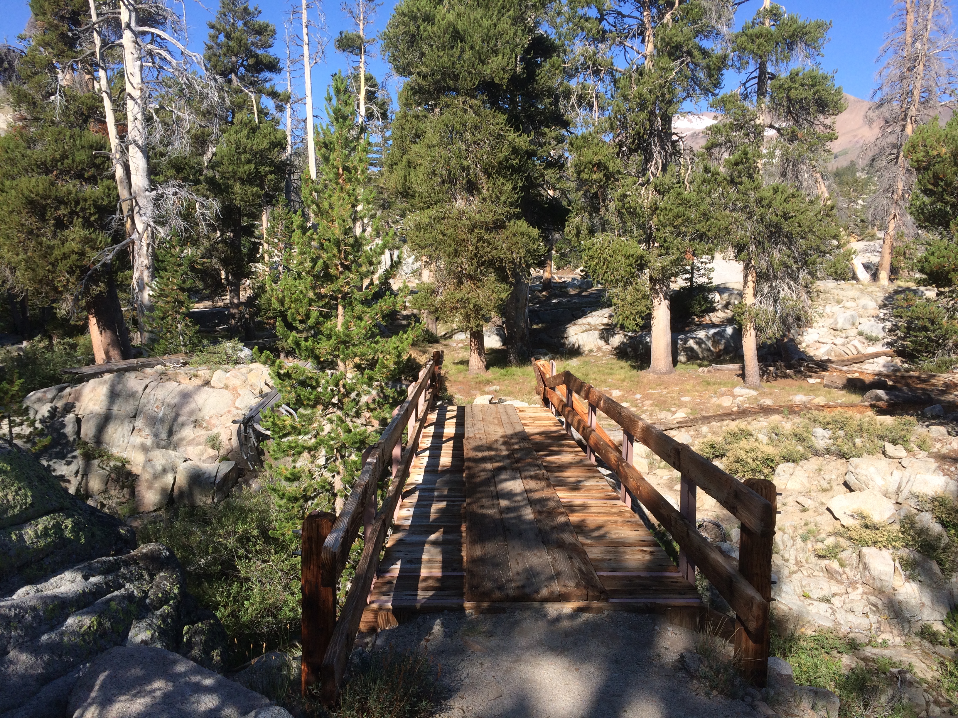
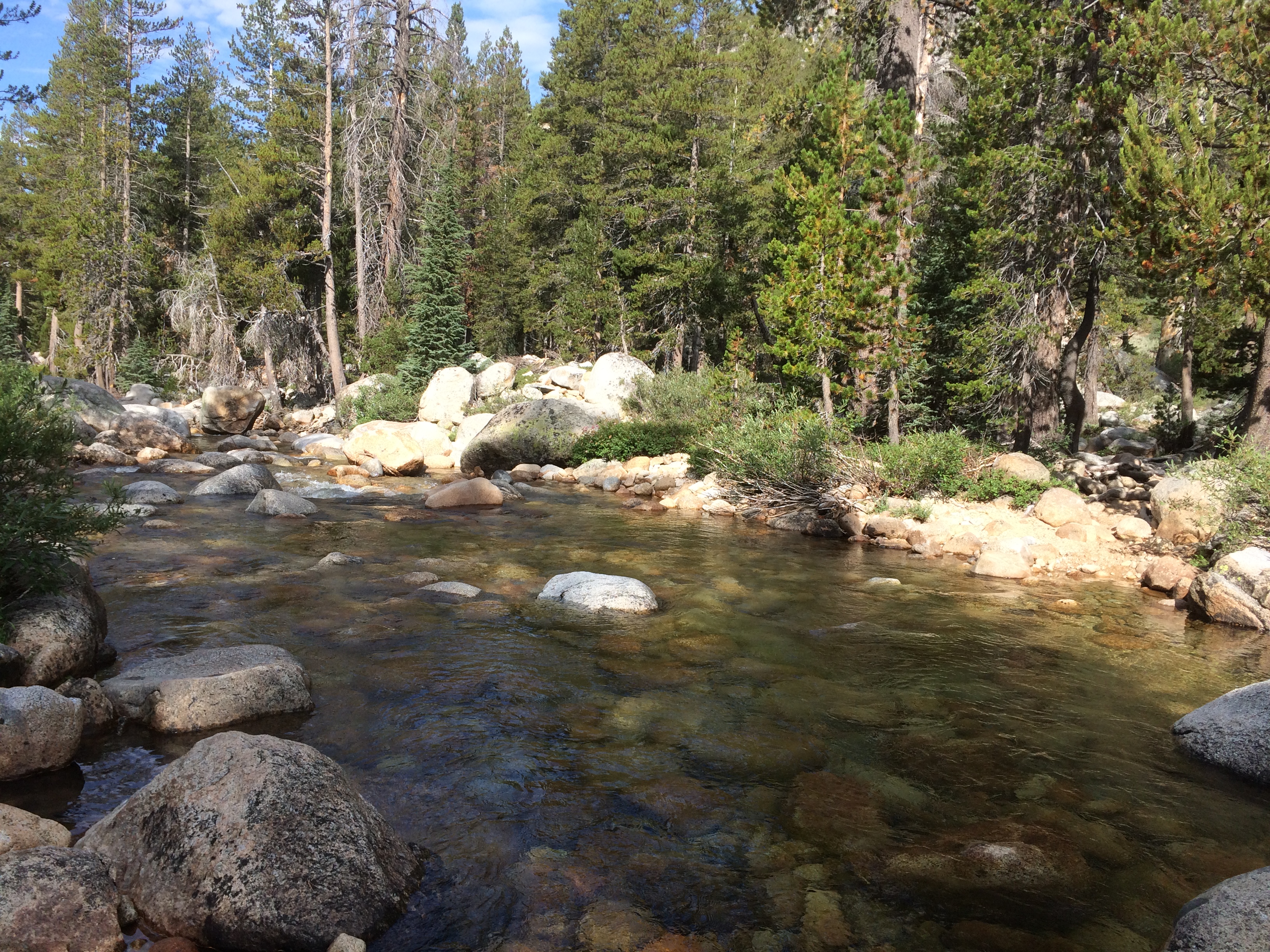
Today it is 18 miles to Sonora Pass and dinner at Kennedy Meadows North. There was a short descent then the first bridge crossing I’ve seen in a few days. I think this may mark the end of creek fording for the rest of the hike, thankfully.
Oh Yeah
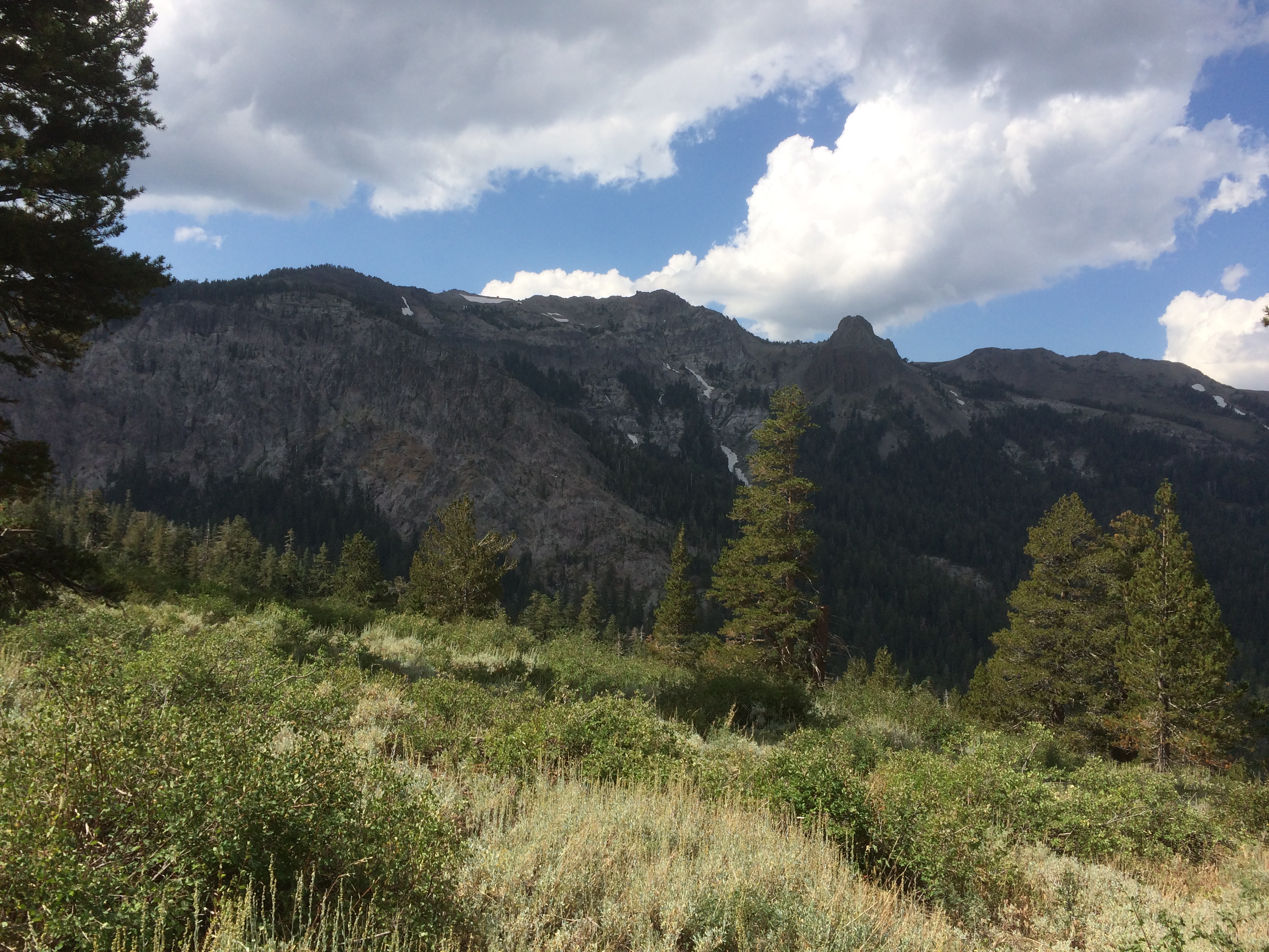
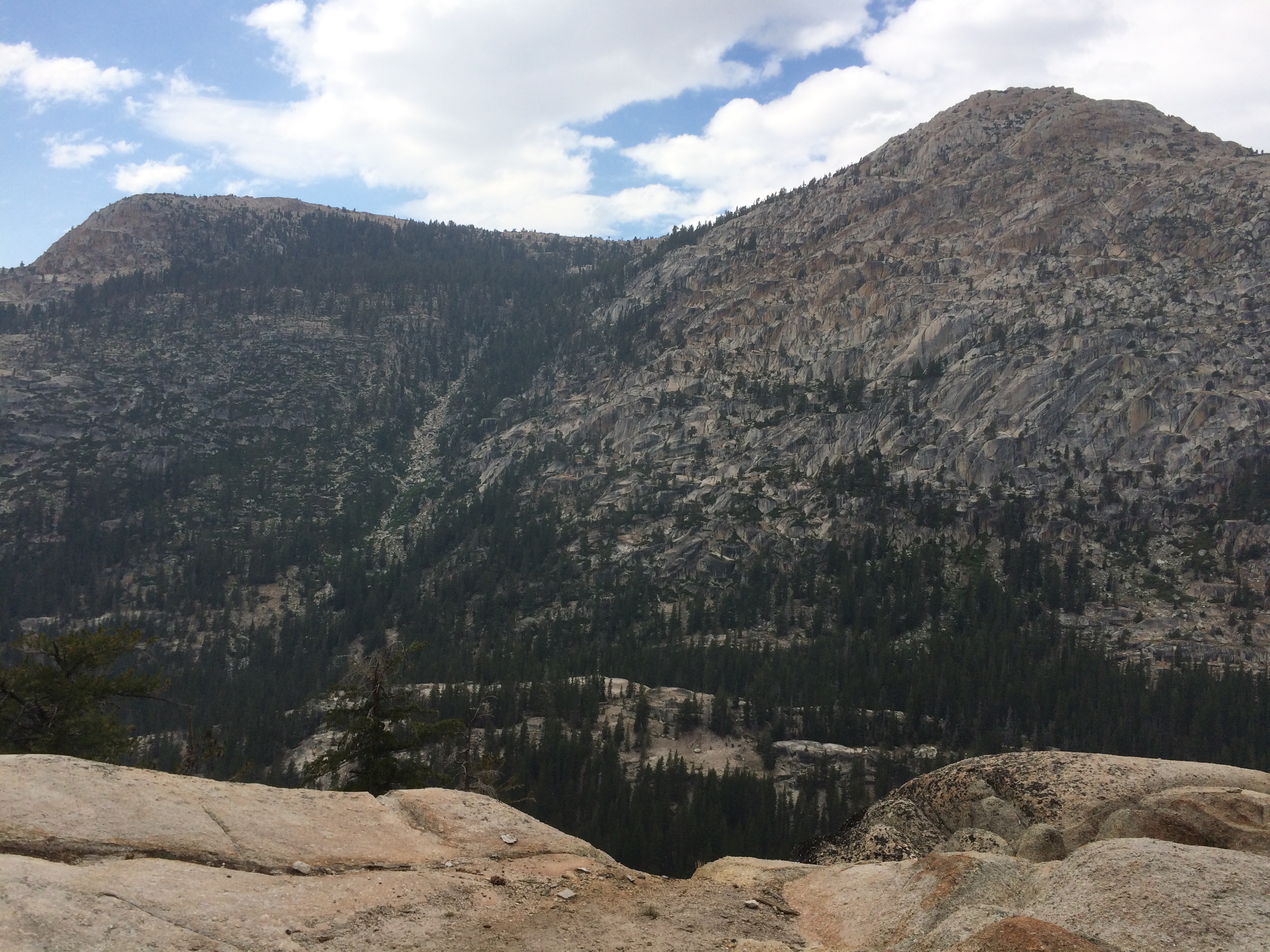
Sonora Pass is a high point for the highway 108, but conversely a low point on this section of the trail. After crossing the bridge, there is a huge climb past the Emigrant pass trail junction and the boundary of the Emigrant Wilderness. I believe this intersects one of the routes folks took in 1840s/1850s with their wagon trains to California. Talk about brutal travel. I can’t imagine what it was like hauling wagons through here.
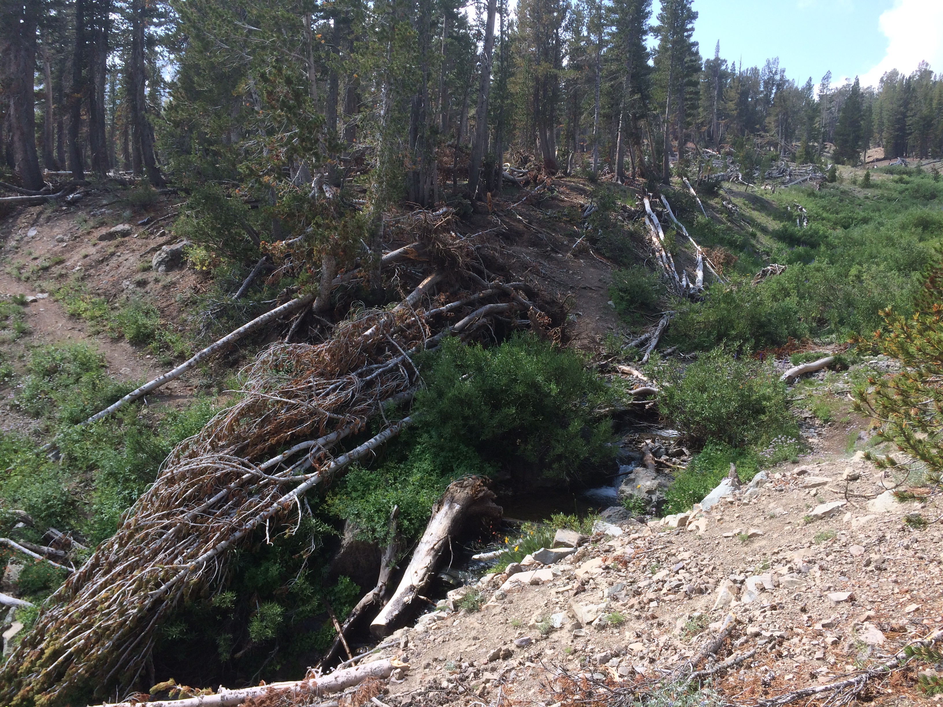
The climb up follows some seasonal streams that run off a huge bowl of high mountains. It is steep, but not a shear climb. There is an enormous amount of water that flows through here during the snow melt. Took a picture on one of the many creeks containing the tree wreckage from this years avalanches and snow melt. Most of these uprooted trees still had green pine leaves on them. It must have been something to see.
Victims of the Flood
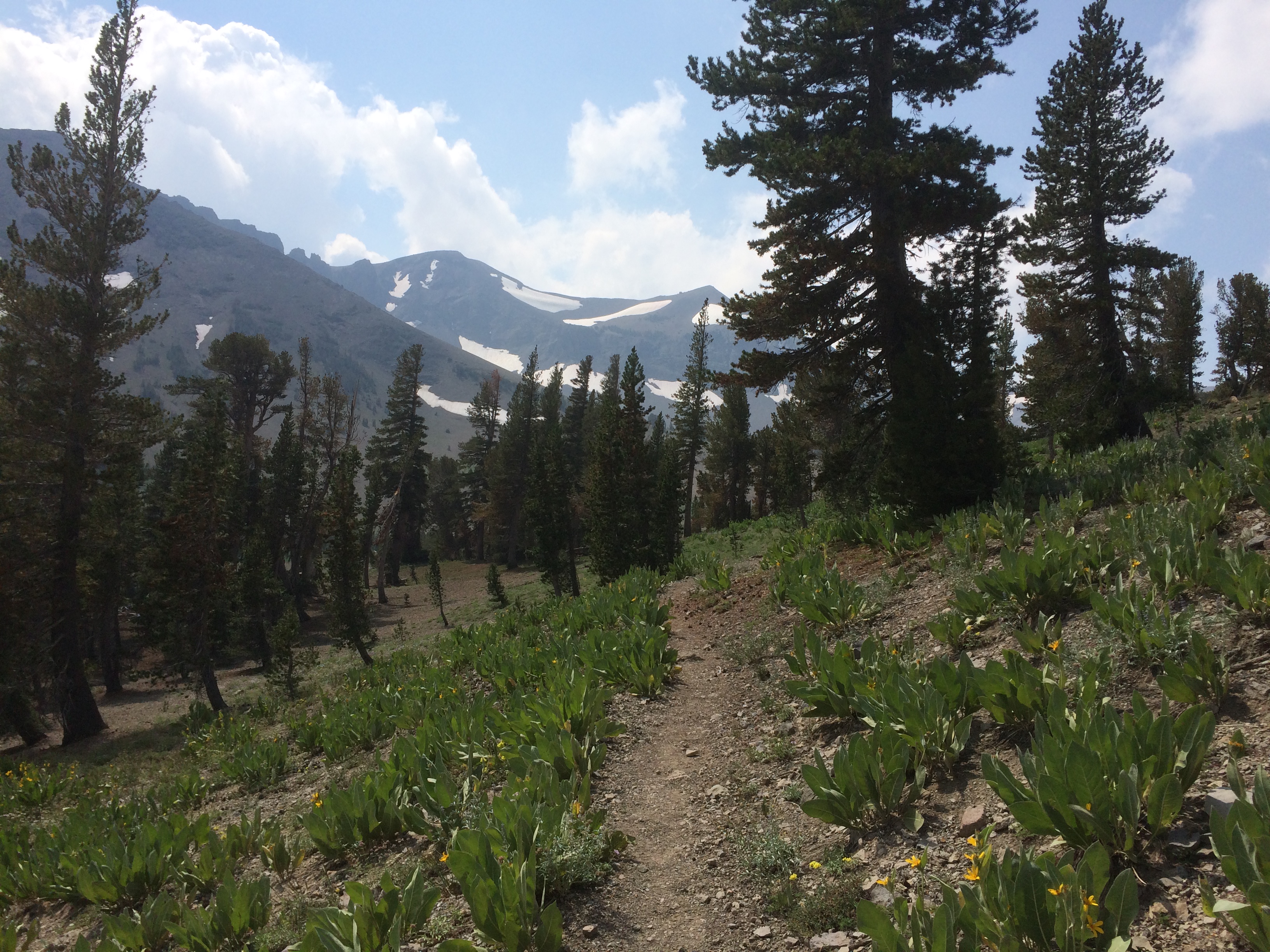
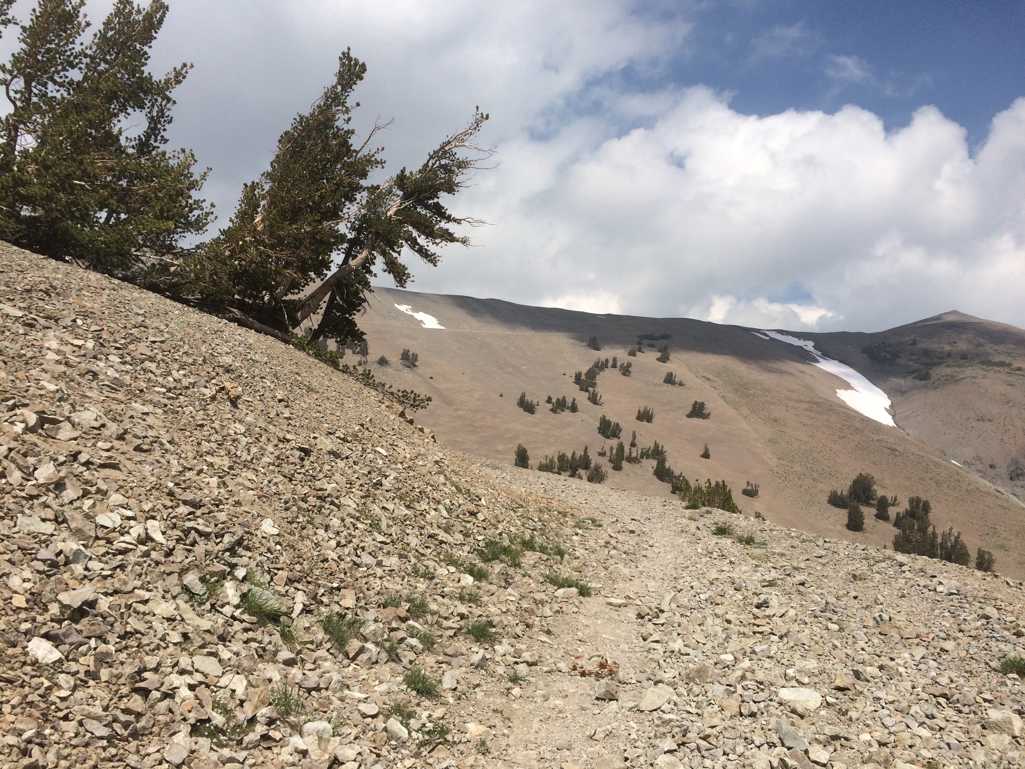
At 9500, the trail left the last of the trees and continued up over a barren landscape. The climb was mellow, but the winds are fierce up here. Here are a series of pics showing the switchbacks. It is a little hard to identify, but a couple of the switchbacks follows a 5 foot wide road. It doesn’t look like a forest service road…..I think this might be some of the original wagon trail they cut 150 years ago.
Last Look Back at the Valley from which I’m Climbing
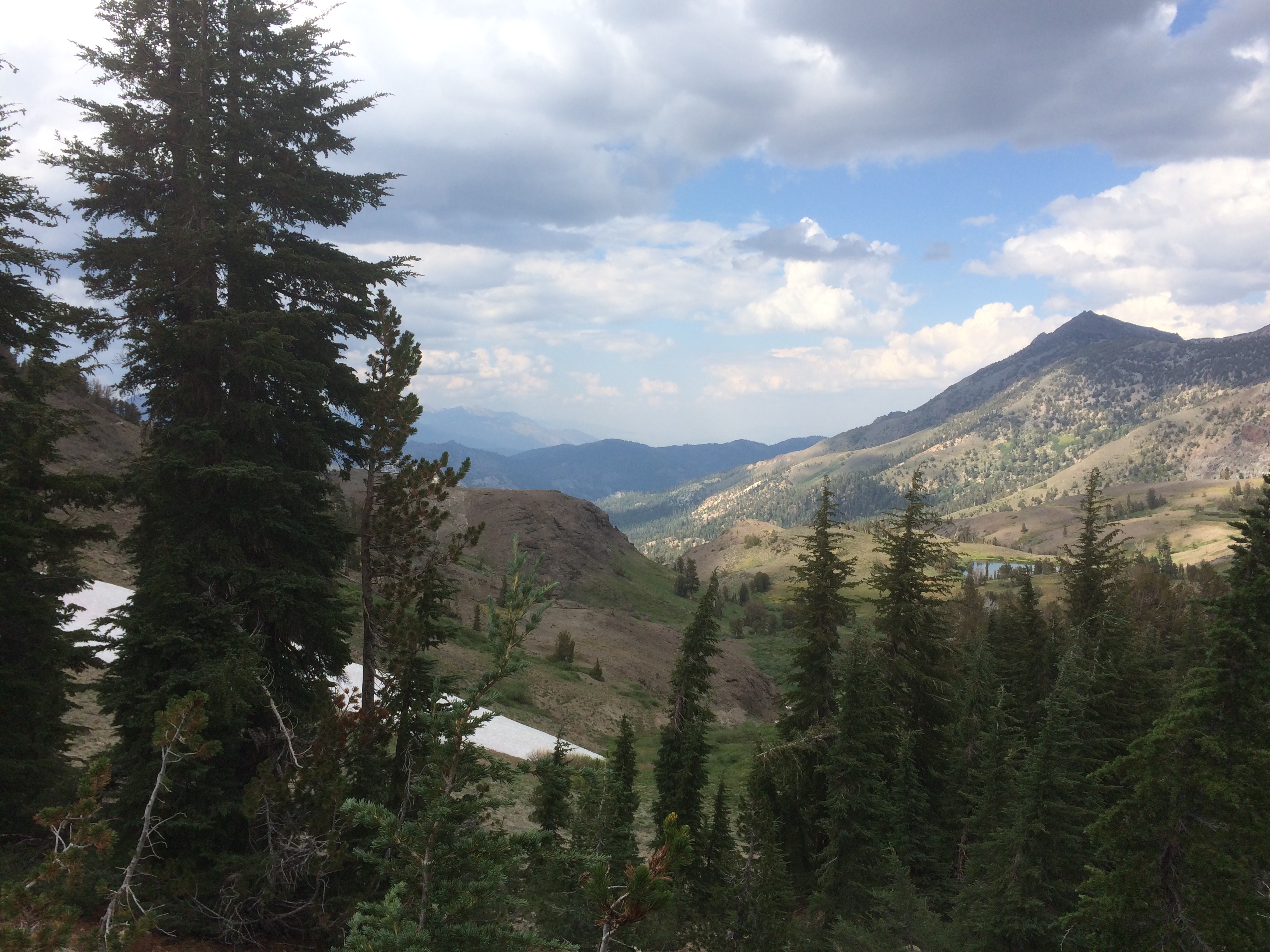
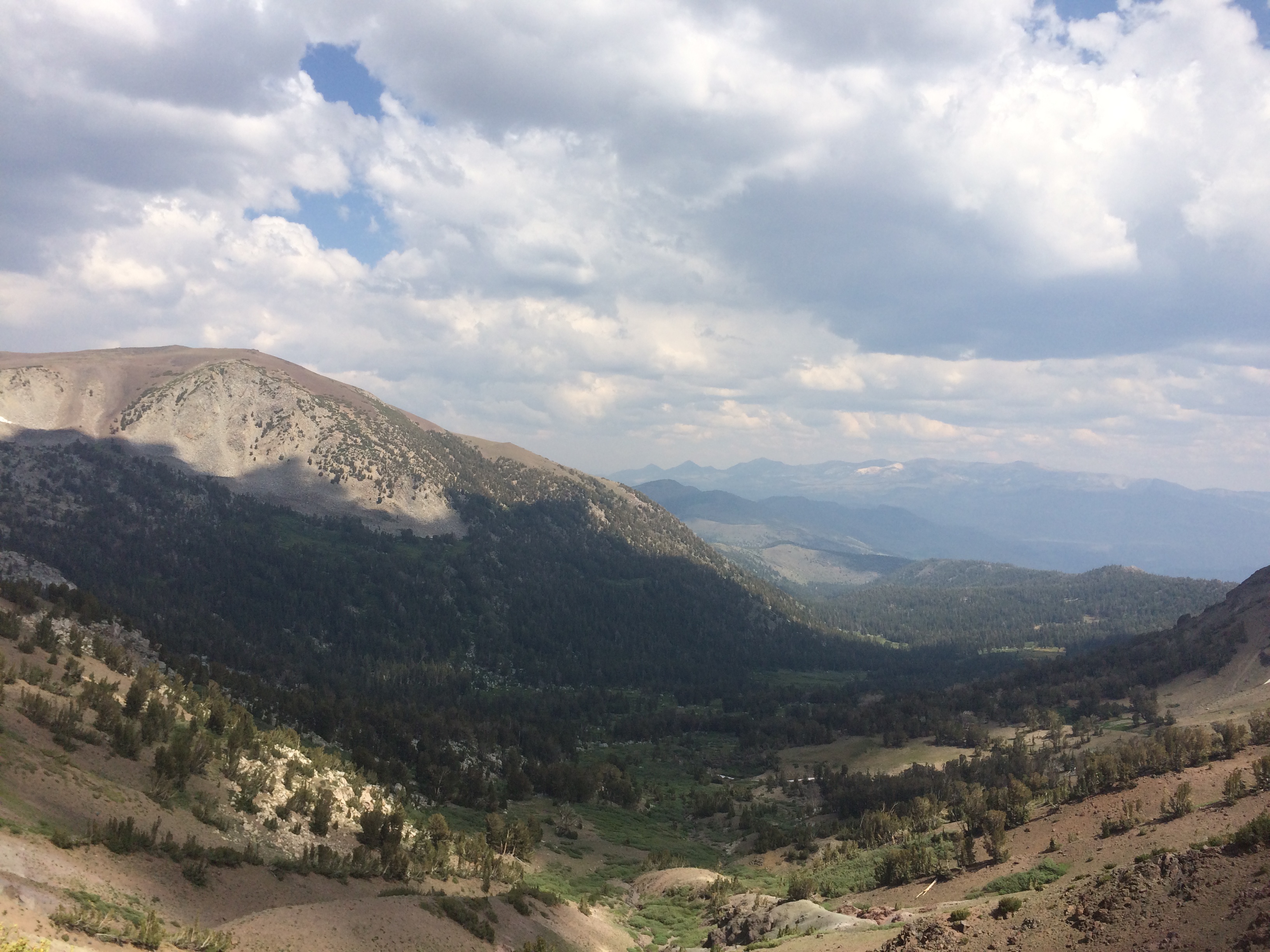
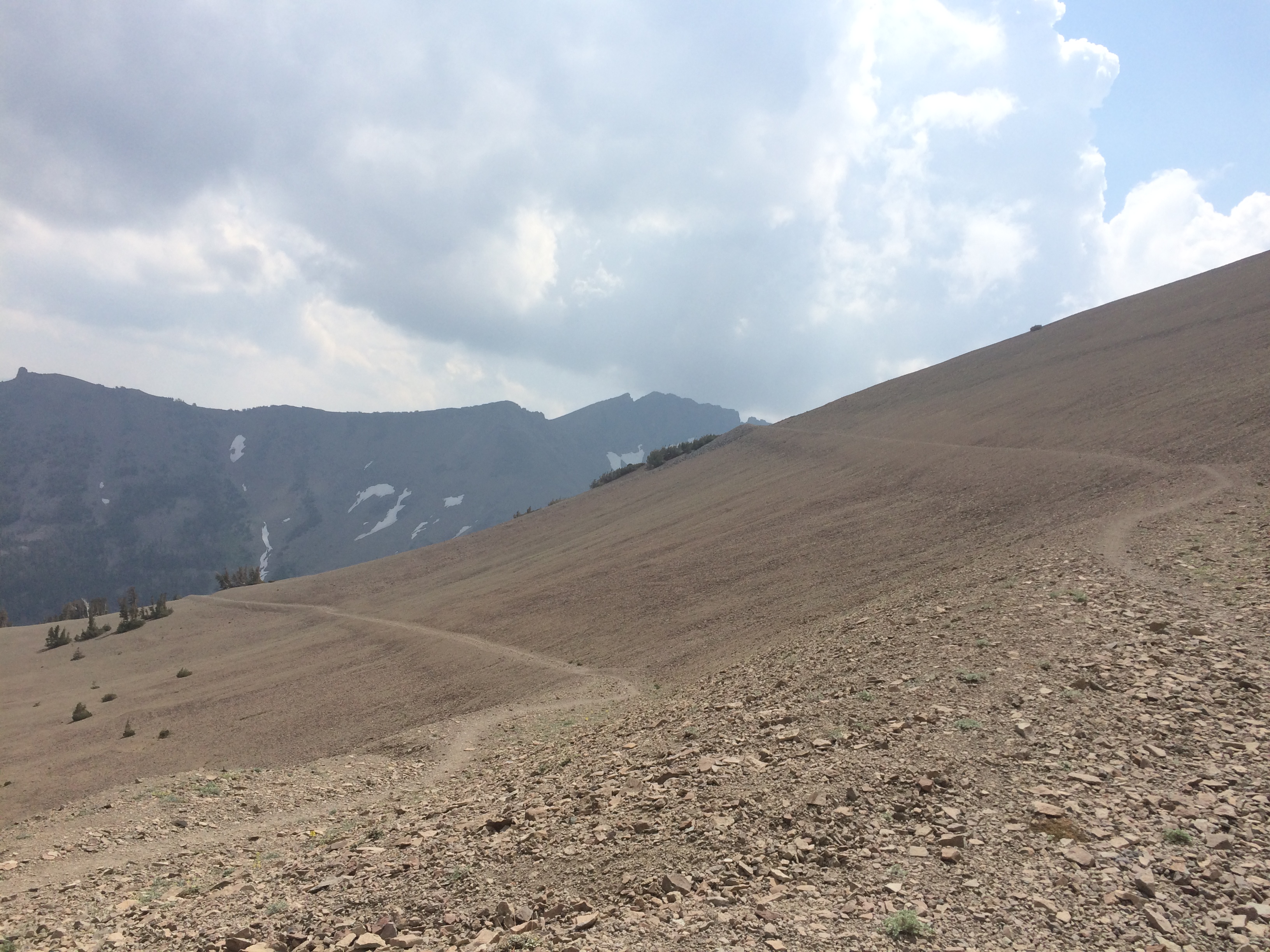
Over the first crest, the trail continues ascending along a ridge the borders yet another huge bowl to the next valley below. It slowly ascends and curves about 180 degrees, starting due North, curving South, East for a while, then back to due North. The freaky thing about it is the wind. It enters the valley below, then spills over the crest so for hours I’m blown by 20-30 mph wind that is ALWAYS perpendicular to my course of travel. It is freaky.
I’ll be Walking that Ridge in an Hour or soGreat Real Estate Investment Opportunity
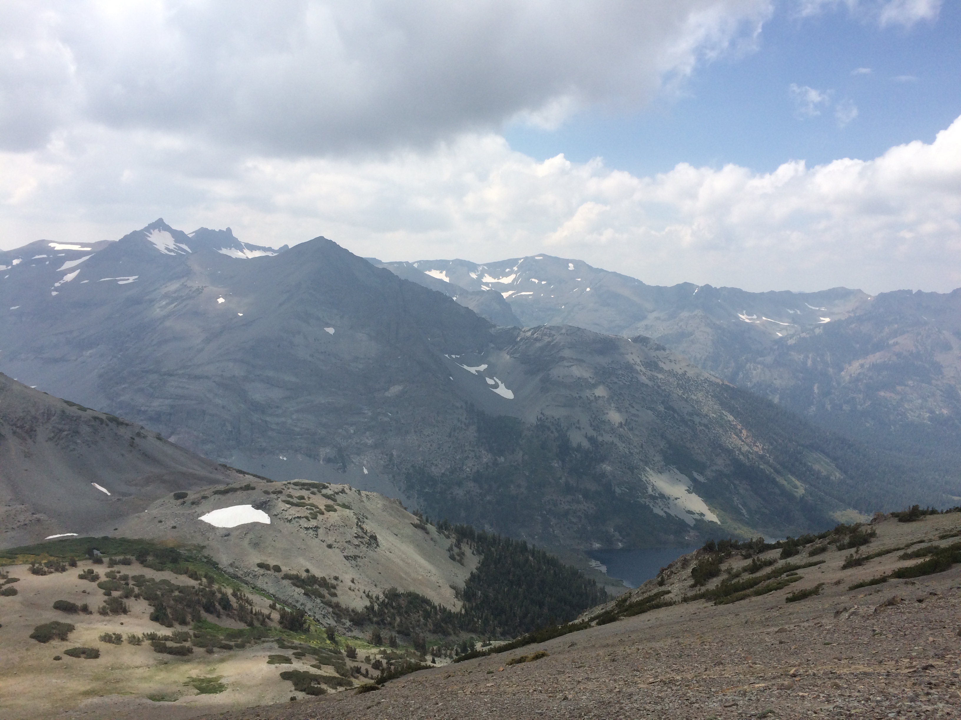
In the valley below, you can see the whole Sierra cycle of life in a single glance. It starts with a high barren rocky bowl. Water flows down to high barren lakes, which then flow into alpine wet lands and meadows. That drains off to more meadows and lakes where the trees start to grow. Finally it lands in an even bigger lake or reservoir (not sure which) and then a bigger creek/river which will end up in toilets of all the peoples along the coast. Neat….well except for the toilet part.
Top of the Next ValleyA Look a Little Deeper into the Valley
Finally over the ridge at close to 11k, there were a few snow fields to cross on the descent. I started running into hikers going the opposite direction. A few PCTers, but mostly weekend backpackers and day hikers. They are sparkling clean.
There’s Still Snow in September?Nice Views Heading Down
Homestead 160 Acres of Land Anywhere you want
I made the 108 junction at 4. Soho had passed me somehow during the trip and was waiting there with a dude who offered to take us into Kennedy Meadows. Apparently Soho thought I was ahead of him and hiked faster to catch me. He finished about 1.5 hours ahead. I wish he would stop doing this. It is not good on the body to hike this kind of distance outside your ideal pace. There is a reason experienced thru-hikers preach “Hike your own hike….” Well, it worked out good for me at least. My ride was waiting.
We got into Kennedy Meadows North and were put up in their bunk rooms for $35 a night. Nice digs. This place has a huge pack station. Soho figures there are a 100 head of mules and horse in the stock camps. The place has primitive cabins, huge areas for RV’s/horse trailers, and plenty of tent camping. Seems to be a popular spot for folks to bring their horses.
The cafe served up great ranch-style chow and their store is well stocked. I picked up my resupply box and started sorting things out. Soho’s box is not there (of course). He is trying to figure out what happened (again). I might be hiking solo tomorrow, but for now all is good. I’m back in my groove again.
I hit the trail early around 6 today hoping to make up the 4 miles before Soho took off in the morning. He usually leaves by 7:30. Didn’t make it. That then triggered a bunch of frustrating Satellite messaging on my InReach.
Didn’t have his direct address, so he was texting his sister and I was texting my wife. My wife was talking his sister. Two hikers communicating through two non-hikers. What a mess. I suggested one mile marker to meet at, then Soho suggested a different one. Alice kept asking if I was OK. It never really reached a conclusion, I just stopped responding. He would be at one of them.
I needed to reset. This circus was my fault, but all this tracking and coordination was feeling like I was back at work. I sat down and had a looooonnnngggg breakfast. Then got back on the trail with some good music.
Somewhere There’s a Trail Over That Thing
The trail continued to be rough going. The topography of this area is a set of high, densely packed granite peaks with narrow river valleys between them. The trail basically takes a direct route over both. Descend straight down over rugged granite and washed out trail, a mile of flat, ford some big creek, then climb over another 1 or 1.5k peak and repeat. Easy to lose the trail and easier to lose footing. I was getting worried I’d twist an ankle here.
Late morning I ran into several groups of relatively clean, pudgy folks hiking with day packs. Wasn’t sure how they could get back here, since this area is 40+ miles from the nearest road. Finally I stopped one guy and got the scoop. They are on a 12-day southbound “expedition” and are being trailed by 12 mules and 4 mounted handlers. The same 70 miles we are doing northbound.
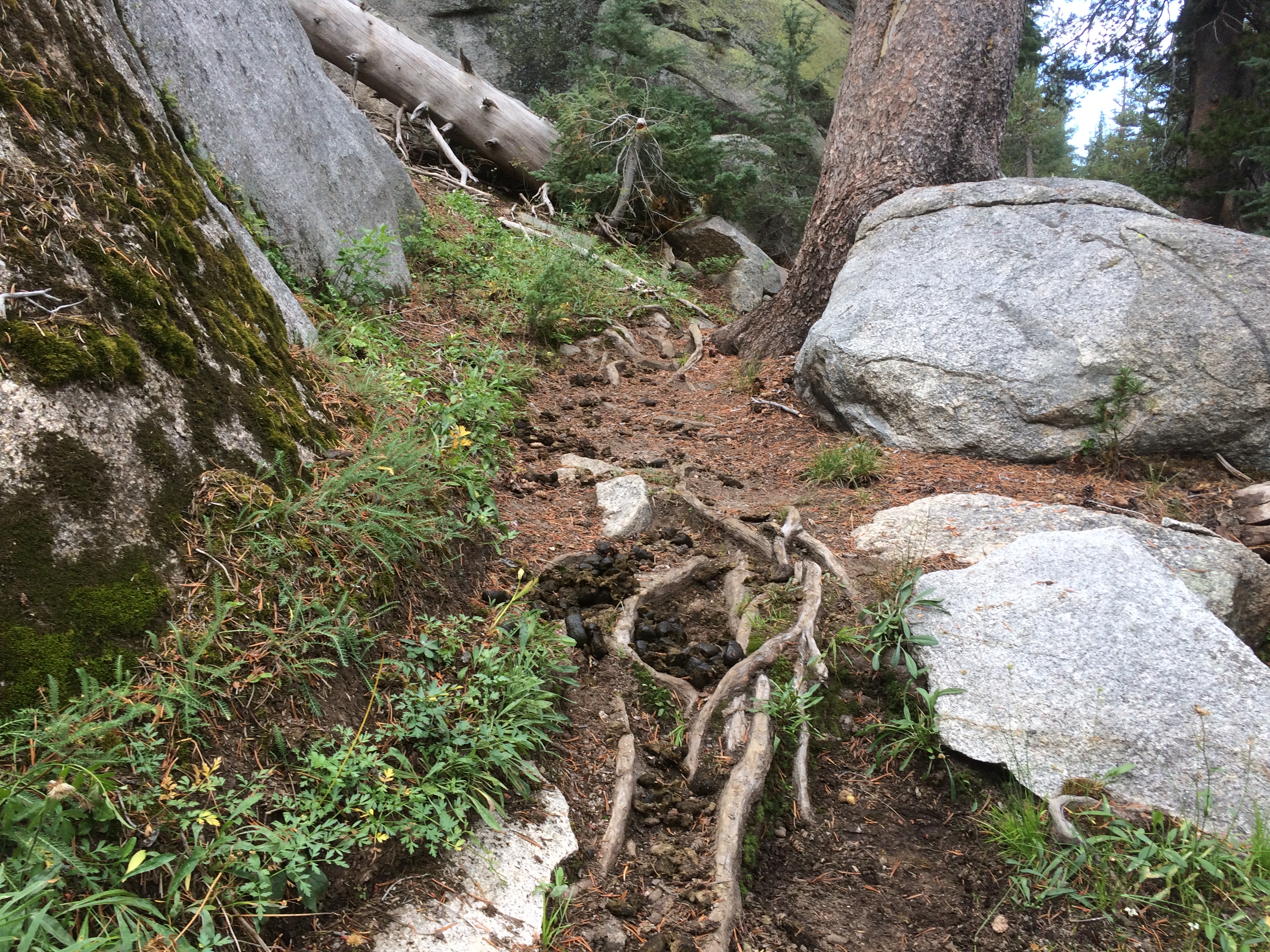
Shortly after here comes the supply train. It was huge. Horse with rider, a bunch of mules, another horse, more mules. Seemed to go on forever. After they passed I was covered in a thin layer of dust. But that was not the highlight. No, the best part was all the horse crap and wrecked trail they left in their wake.
It is hard to describe the copious amount of horse shit on the trail. There will piles every 20 or 30 feet FOR MILES. I think because these mules are all closely spaced, they tend to take sub-optimal steps on an already bad trail. It makes the loose stuff looser and on the granite steps they dislodge or loosen all the rocks. Ugh.
Enjoy Your HikeGuess Where my Foot Will be in a Few Seconds
They should make a rule that anyone hiking with mules should walk BEHIND the herd.
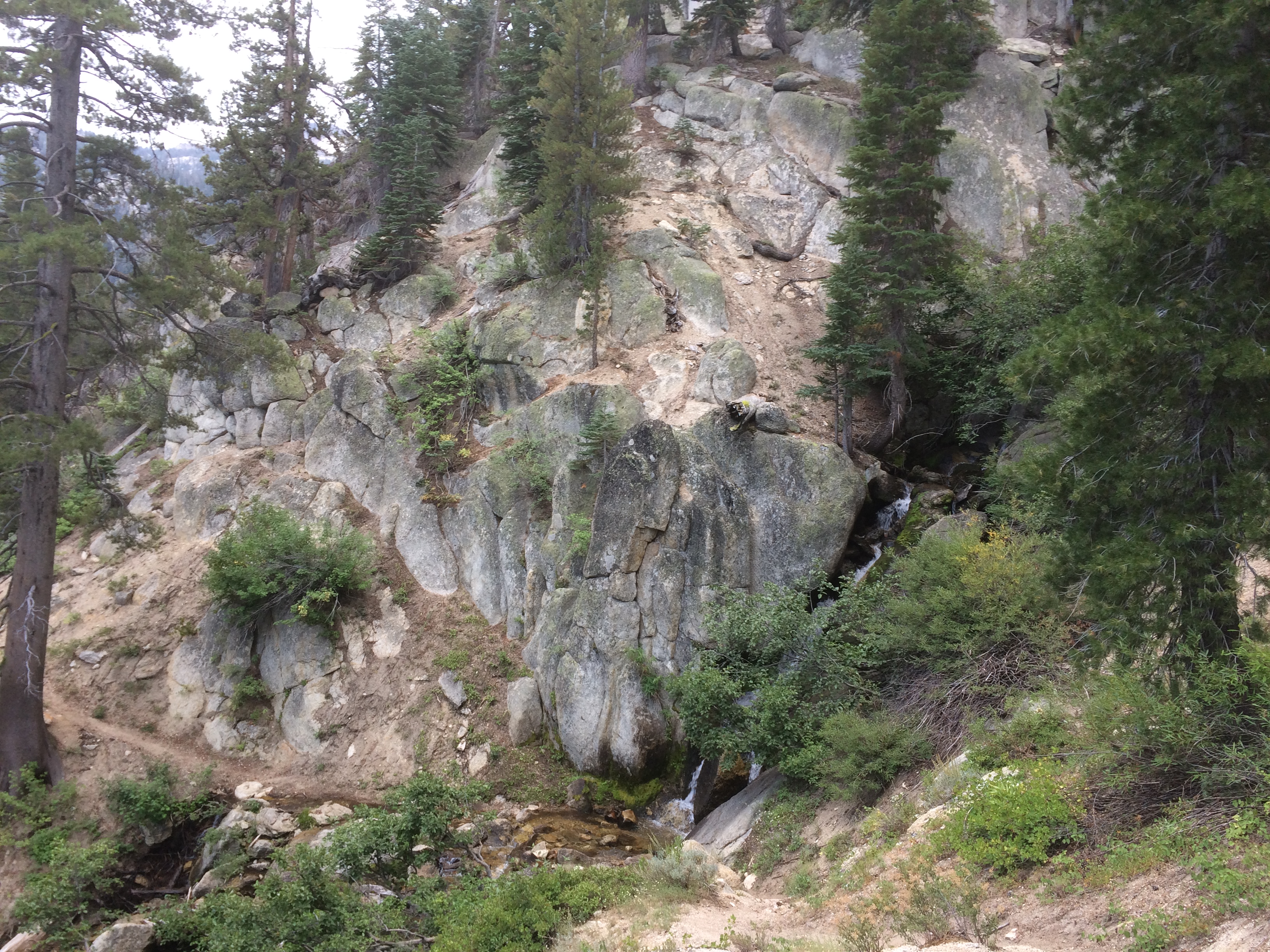
Steep climbs and deep valleys. There is a lot of rugged beauty out here. This is serious high-sierra back country. Rugged trail, no bridges. I can see why the creek fords are so dangerous in this area during the snow melt. There is wreckage in every valley this year from the floods. This is the area where Tree got swept away and died at PCT mile 980 in Rancheria Creek. I’d heard from others who came through in July all sorts of harrowing stories. Fortunately these crossings are merely an inconvenience.
I Think This is Rancheria Creek
Going Over the Left Side on This ClimbTopDown
Bottom, Now I Get Wet Again
Bonus Crossing, I Get Wet Twice
Late afternoon the terrain mellowed out to a long, gradual climb up to Dorothy Pass. I figured I could dial up the speed here. Unfortunately it was miles of marsh. The trail was dry for a bit, then descended into muck. A lot of hopping around in wet spongy ground trying to find alternate paths. My progress was slow. Then there were the mosquitos waiting to pounce at every pause. By 7:30, I reached Dorothy lake (mile 996). Pretty lake. I made some dinner there before the light failed, then went on a headlamp over the pass. Finally reunited with Soho around 9:30. He was at mile 999.
The 4 miles of Marsh Below DorothyThere’s DorothyMy Dinner Spot on Dorothy
The day ended well. I did 24 miles finally erasing my mileage deficit.
Last night, Soho and I were chatting about today’s goal. 20 miles and over 5k of climbing over two passes, it will be a workout. We camped close to a creek crossing that we would normally have to ford, but we found a good crossing spot over some granite falls slightly off trail. Soho packed and disappeared into the trees.
While I was packing, I figured that I’d get on trail then not look at my positioning app until completing the first climb. No need monitoring my agony.
This great idea turned out to be a 10 mile mistake.
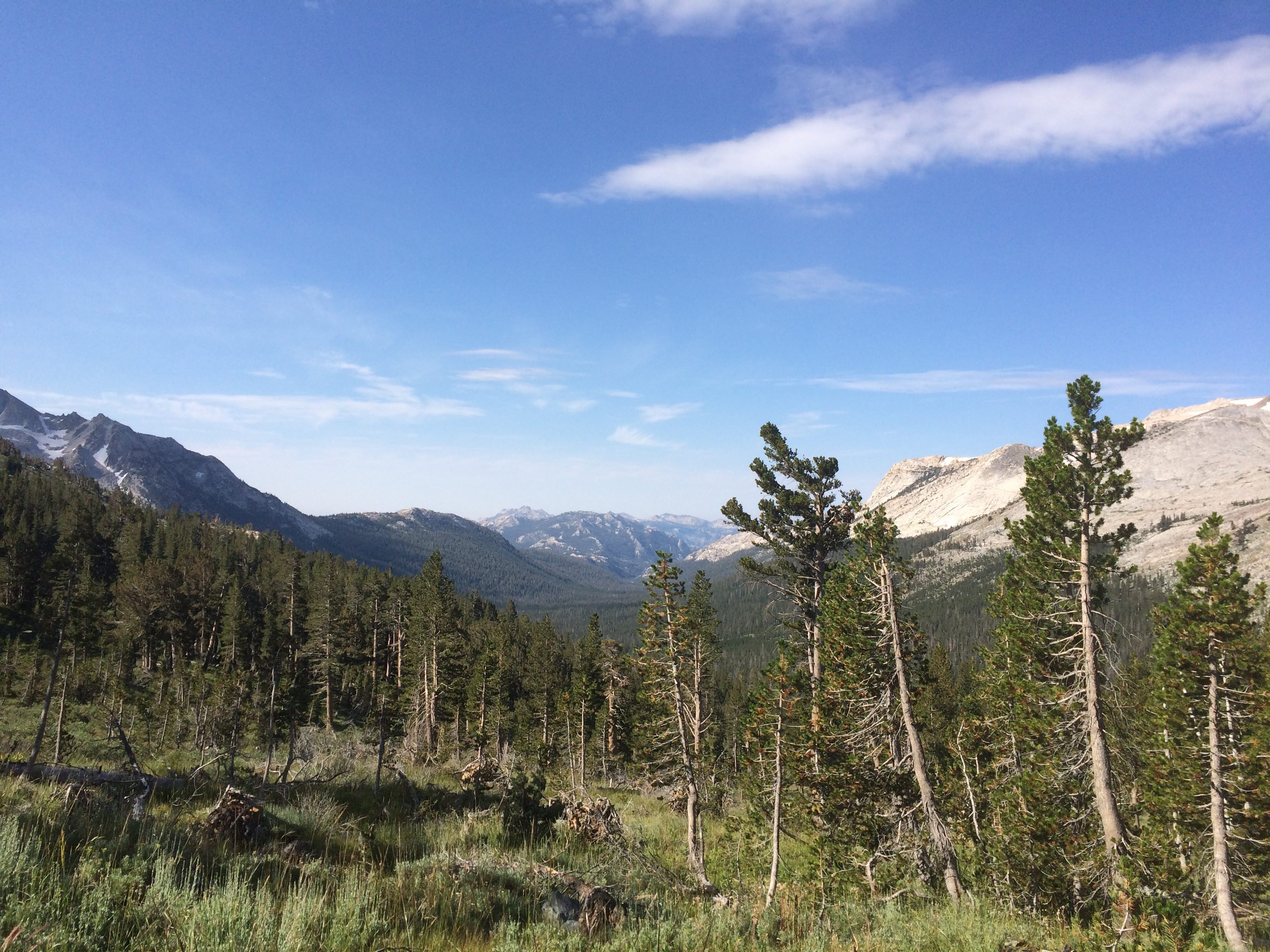
Crossed the stream around 7, checked my position to insure I was on trail, then started walking. First through a nice valley, then a long climb up to 10k. Was tempted to check my progress, but resisted. I was making good progress.
Packing UpWrong way
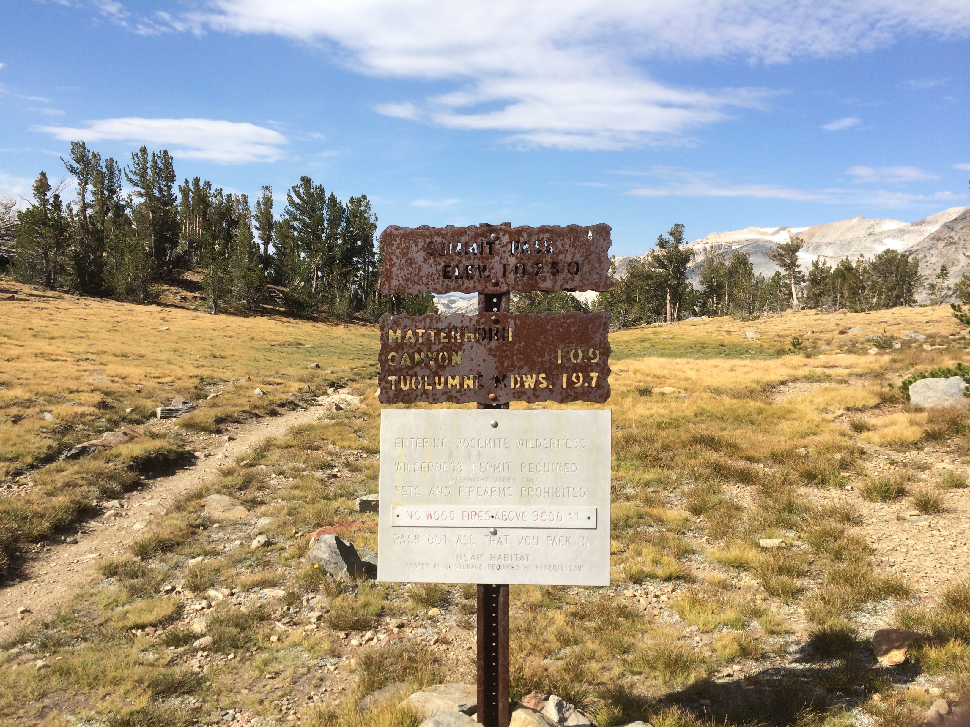
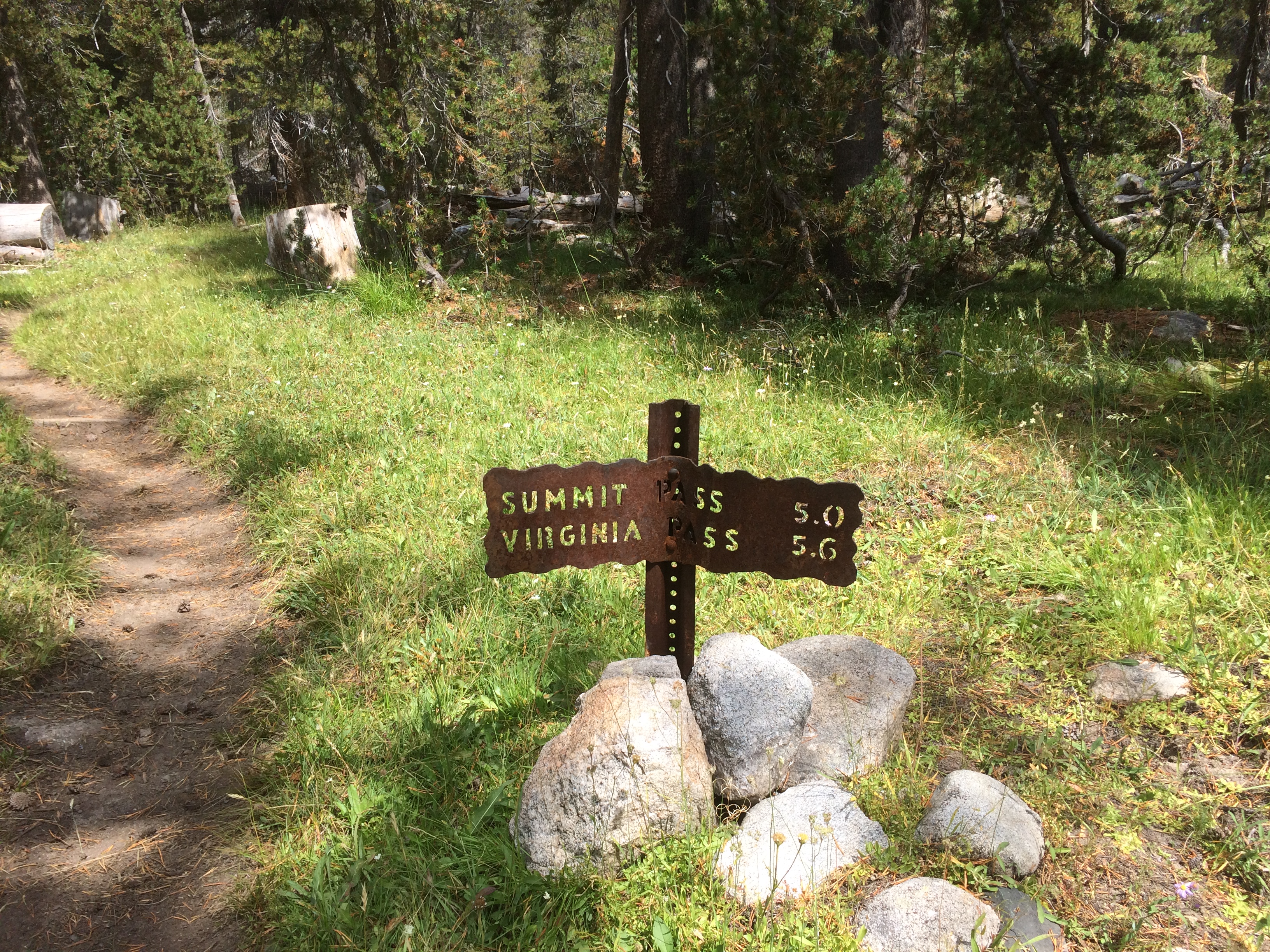
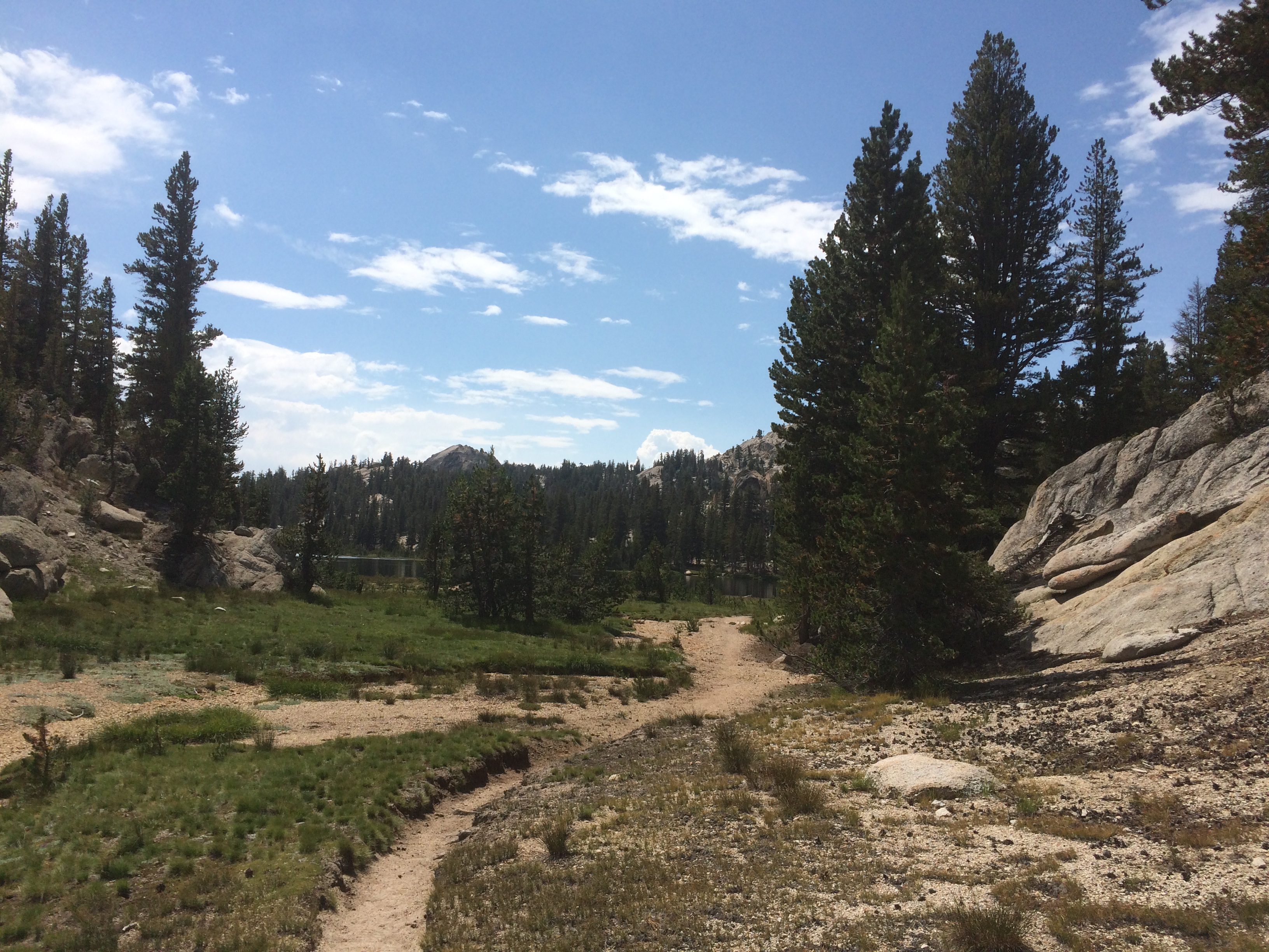
The trail was well maintained and I ran into several bunches of hikers coming down. Normal stuff. At 10, I reached a big flat area at the top of the pass with a large lake. Very pretty. Was taking a couple pics when I noticed the pass was called “Summit Pass”. Hmm… I thought this was called Benson pass.
Summit PassSummit Pass – This Doesn’t Add Up
I sat down to check my mileage and plan the rest of the day on my phone. That was when I finally realized that I’d gone the wrong way. I had walked 5 miles on the wrong trail ALL MORNING. Not only that, but the two trails diverged by 90 degrees almost at the start so there was no bushwacking my way out of this one. I was so pissed off.
Instead of a hard 20 mile day, I had a nearly impossible 30 mile day with 8k of climbing.
I practically ran the 5 miles back to my starting point, cursing all the way. Reached it at noon and I was already feeling tired.
I Have to Walk 5 Miles Back Down this Damn ValleyBack to My Starting Point
The rest of the day was filled with hiking and hiking with only 5 minute breaks every hour or two, Adding to that was a couple river fords which consume 20 minutes of time switching shoes and drying off. I spent the whole day angry with myself. Not the sort of zen-like experience I’m supposed to have. Crossed the 10k Benson pass at 5. Here are a couple of hasty pictures.
View from Benson
After that descent, it was the next climb to Rock Island pass. The trail had been degrading all day. All this Northern area of Yosemite gets hit by a lot of erosion and is not really popular hiking ground. Trail maintenance is definitely not a priority here. Most of this area has not been worked on for years. The shear walls of the terrain caused dusk to come early. I was on the headlamp by 7.
I hiked until 10:30, then gave up at mile 975. I was not going to reach Soho tonight. I was exhausted, the trail was a mess, and was going to get hurt if I continued. Did 26 miles (only 16 of the PCT miles) and 8k of elevation change today. I put up my tent and collapsed.