Day 98 – Mather Pass (August 25, Mile 812-828)

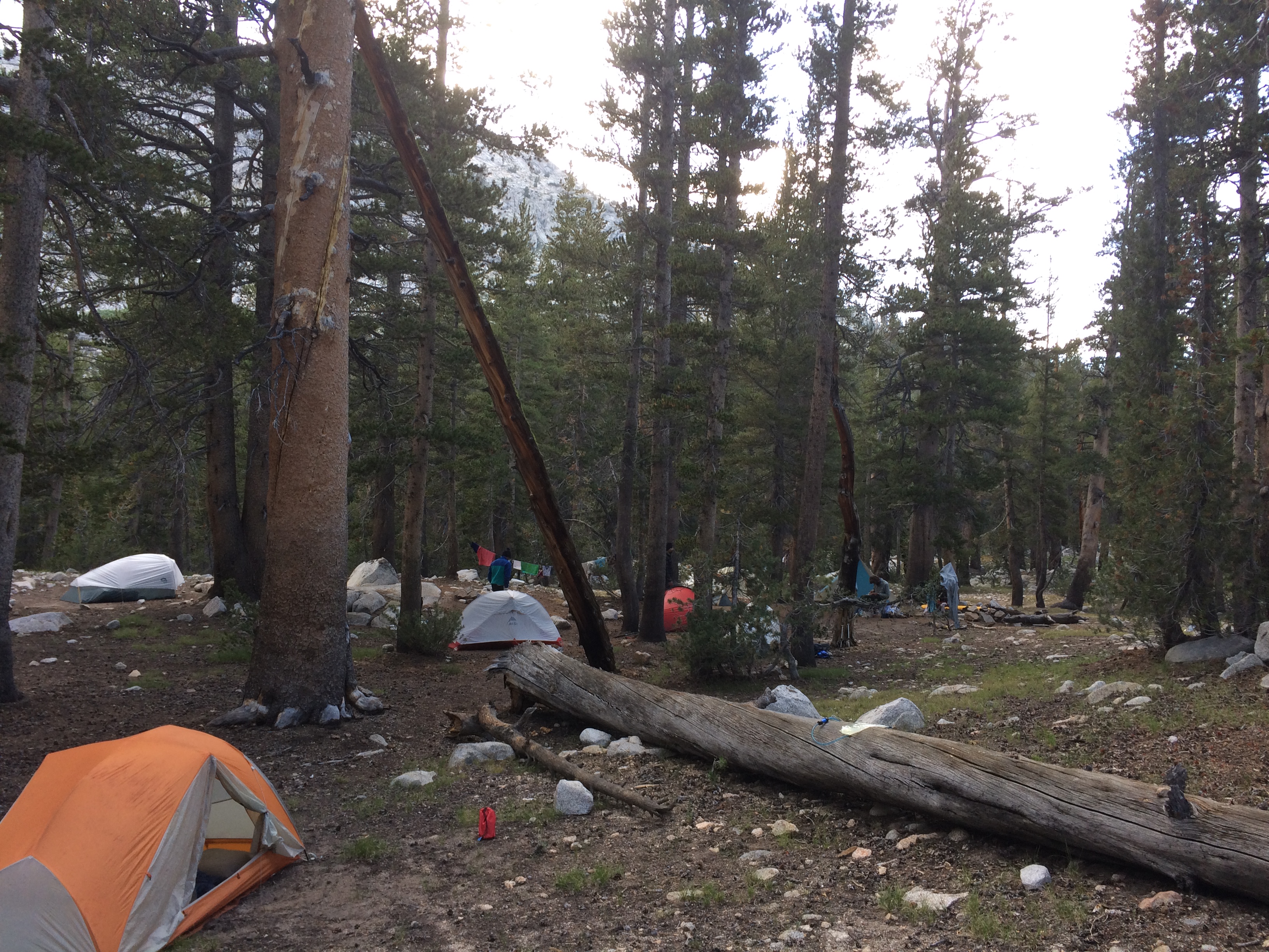
This morning I got up a little early and packed the tent.   Soho and I sat on a log and had some breakfast.   The leader of our lux campers next door managed a “good morning” to us.   We were so blessed.   He was shouting to his crew to be ready by 7….they were still packing tents at 7:30 when I left.  

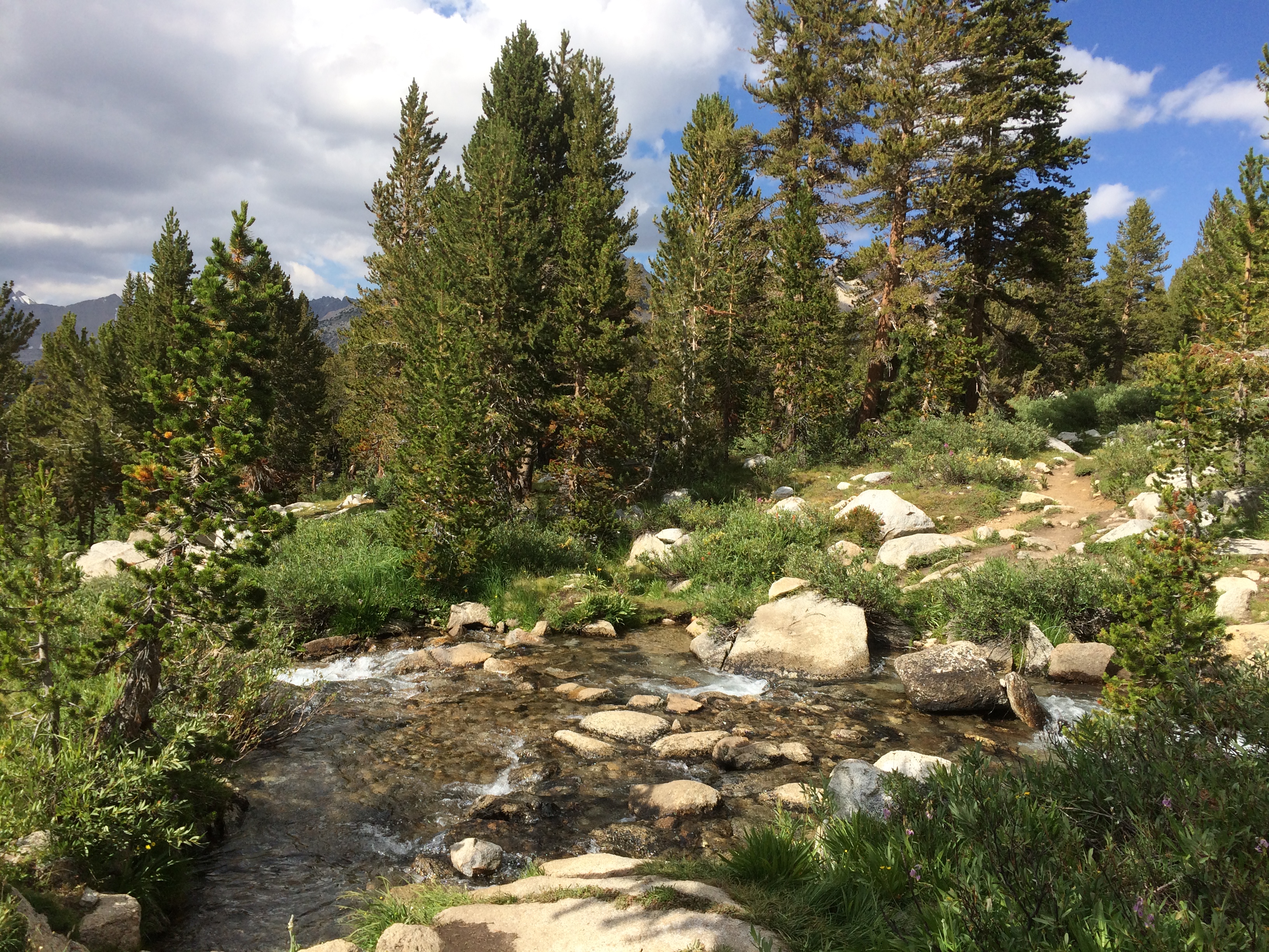
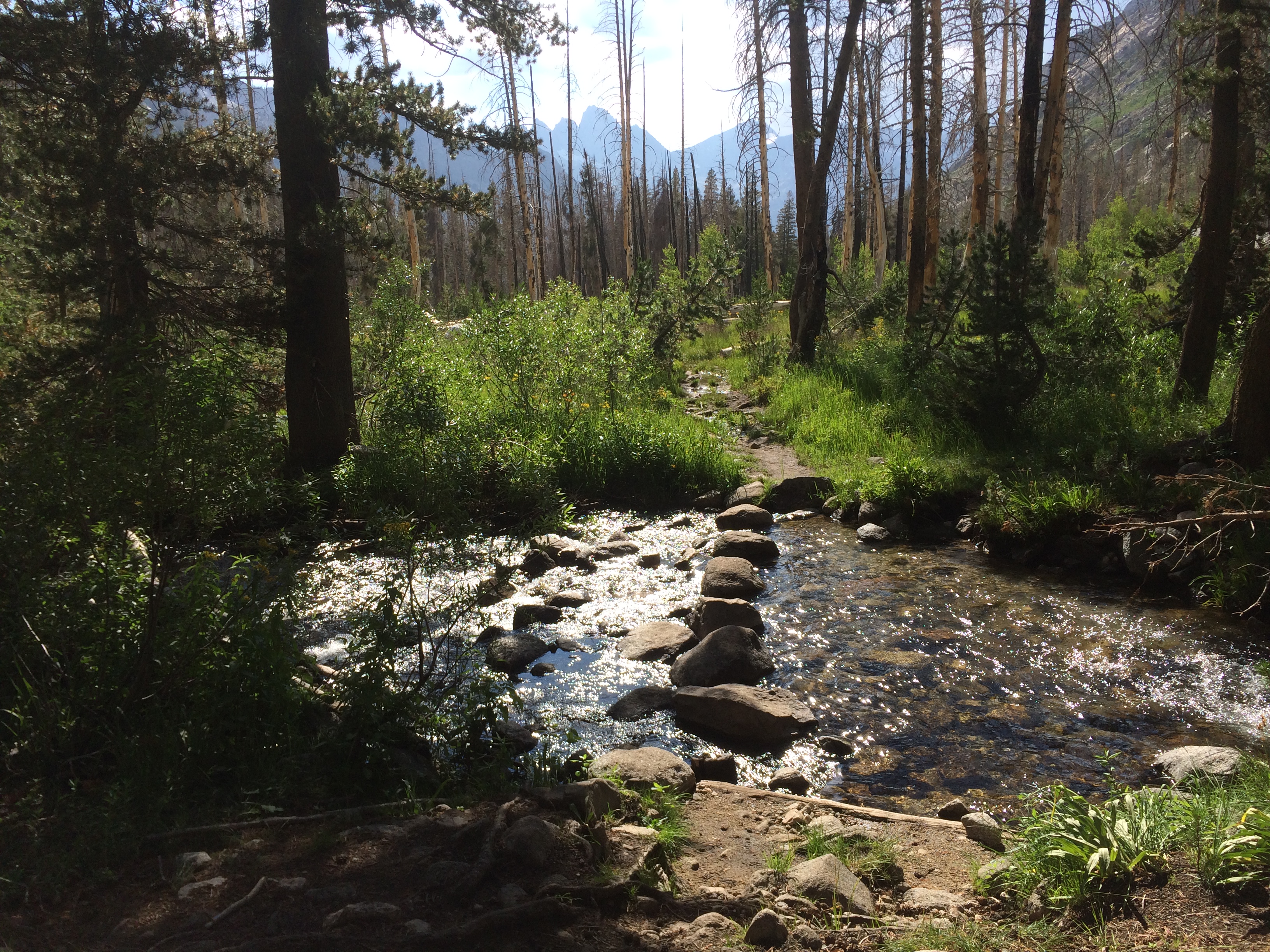
The morning started with our first ford.   River is about 40 feet wide,.  Both Soho and I have been carrying a set of old trail runners for this purpose.  I put mine on and jumped in.    Water was only 2 feet deep, but man was it cold.   When I got to the other side, I couldn’t feel my feet.    I pried my wet shoes off, switched to dry, and started walking.  Feet stayed numb for another 20 minutes, then eventually warmed up.

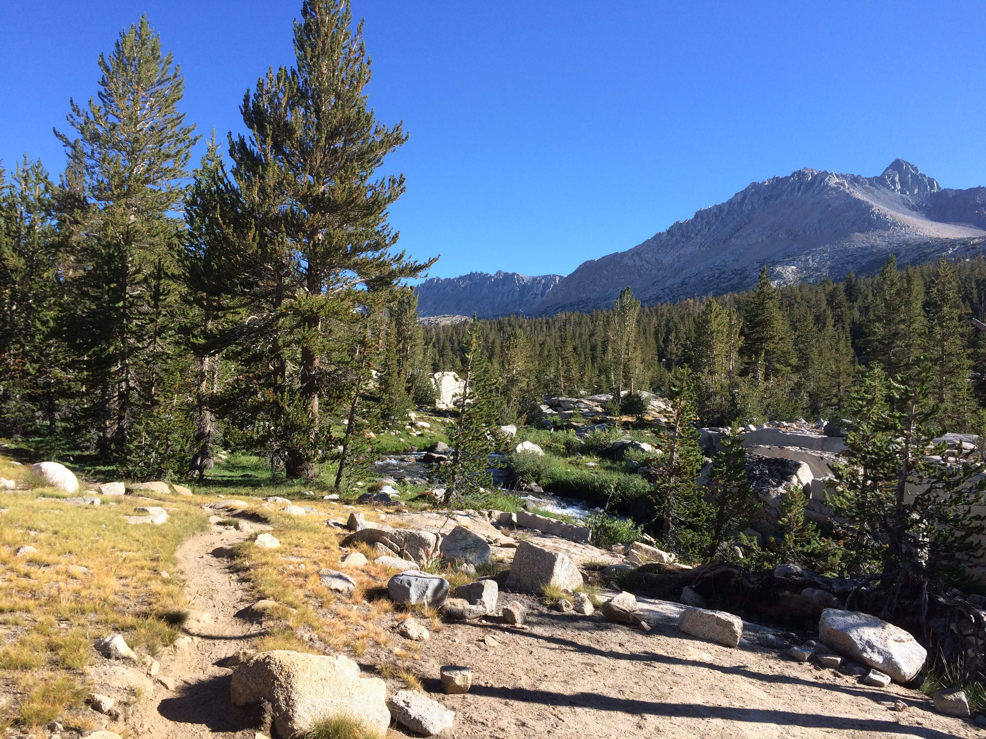
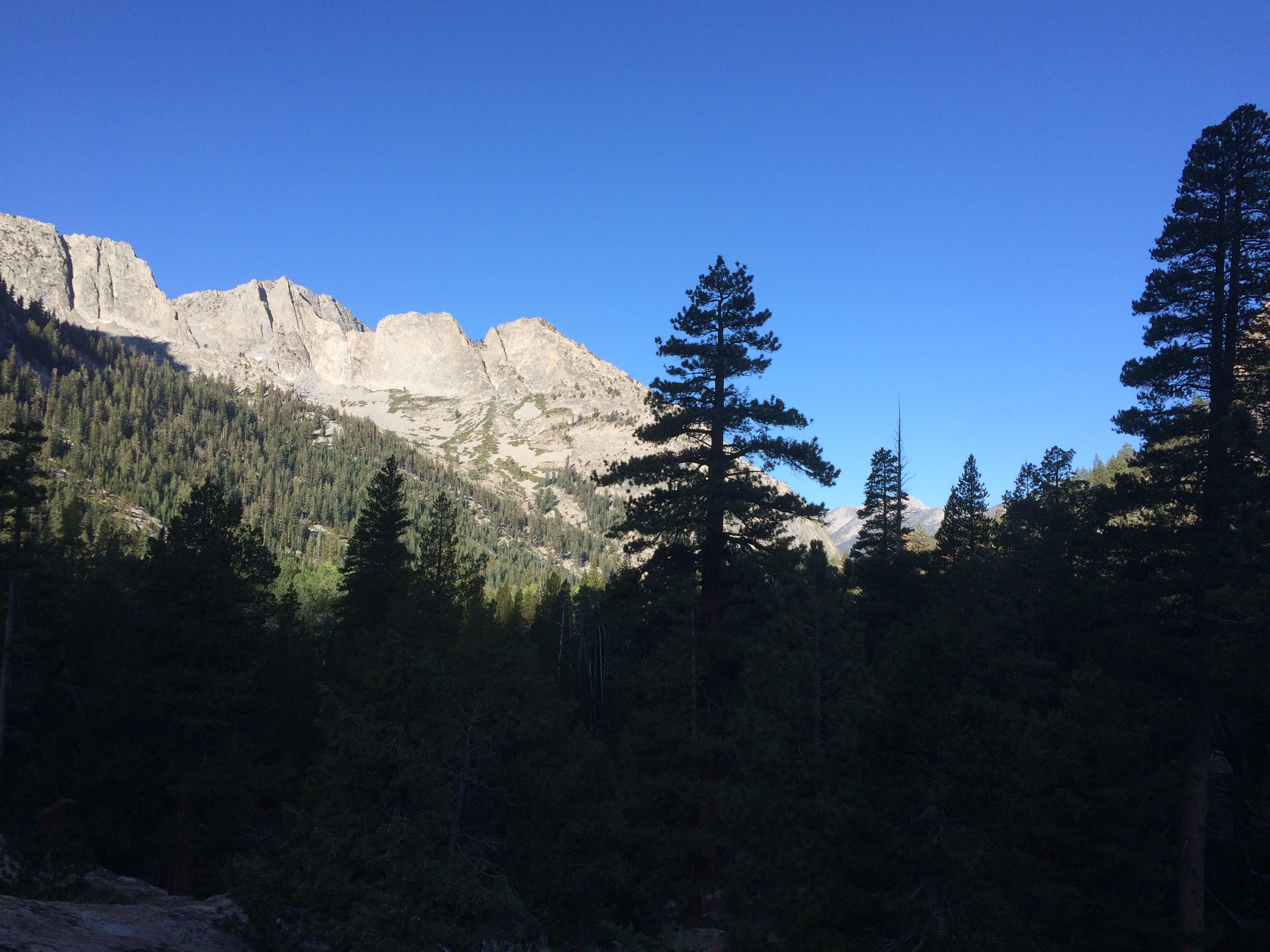
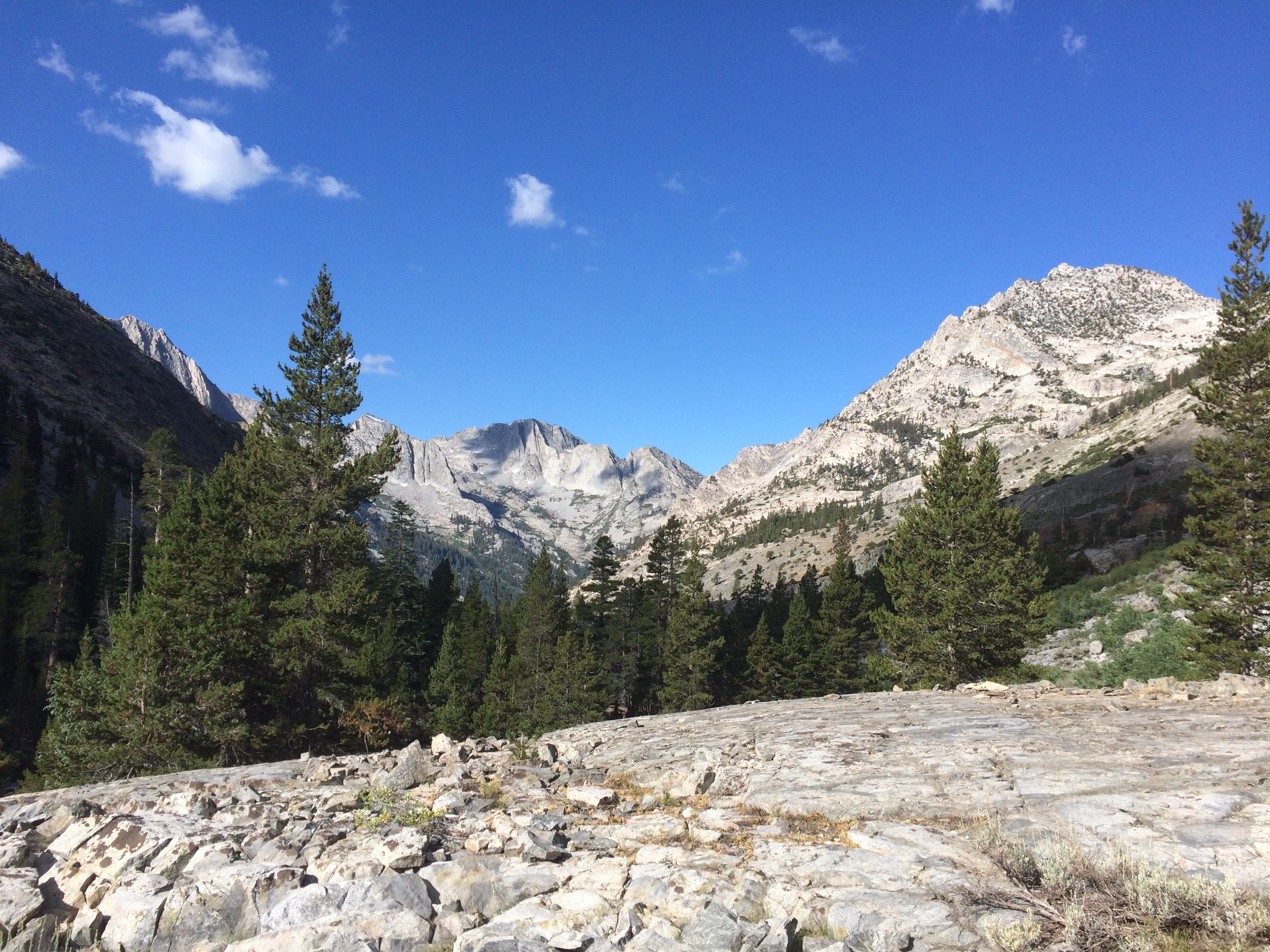
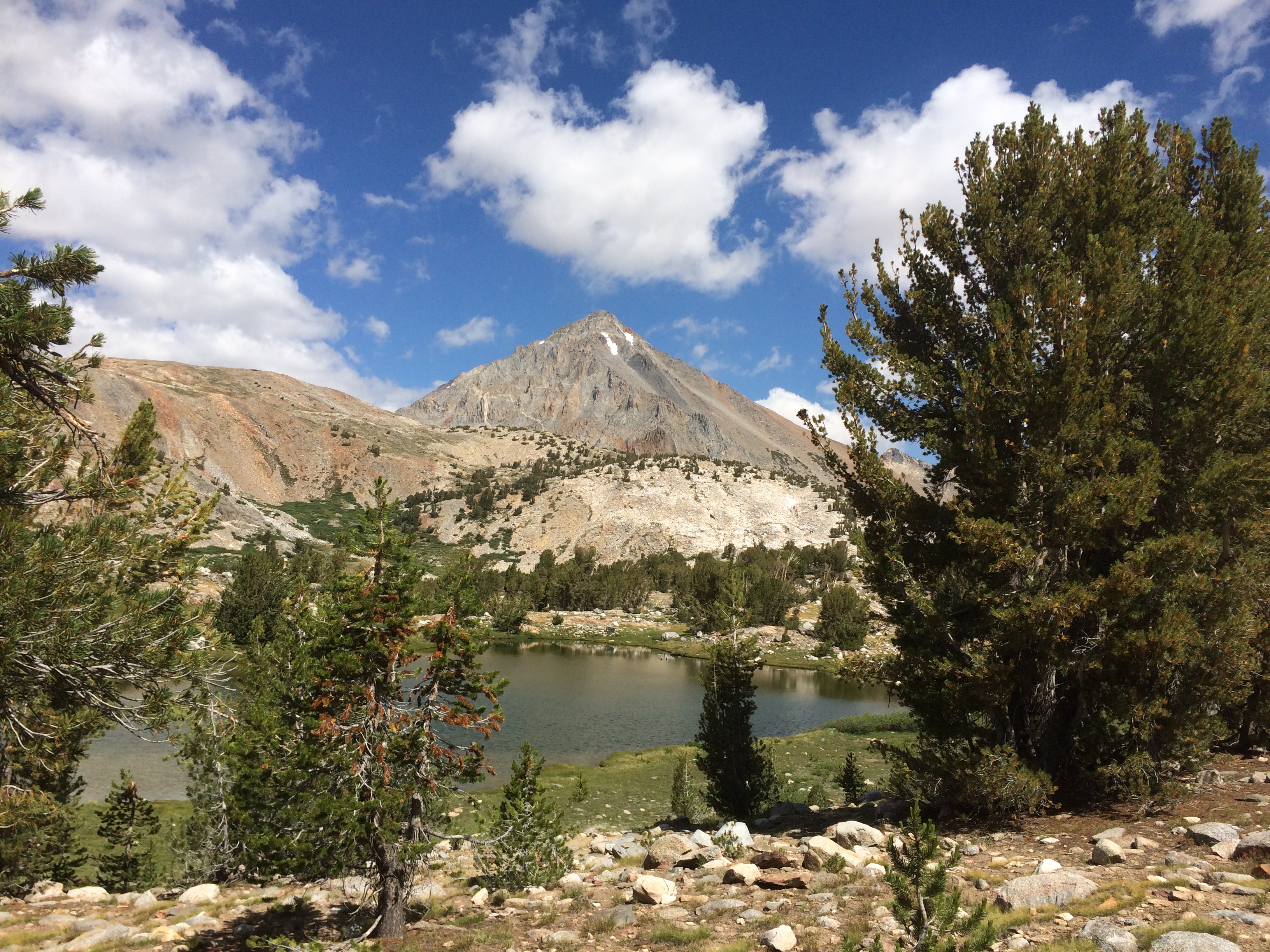
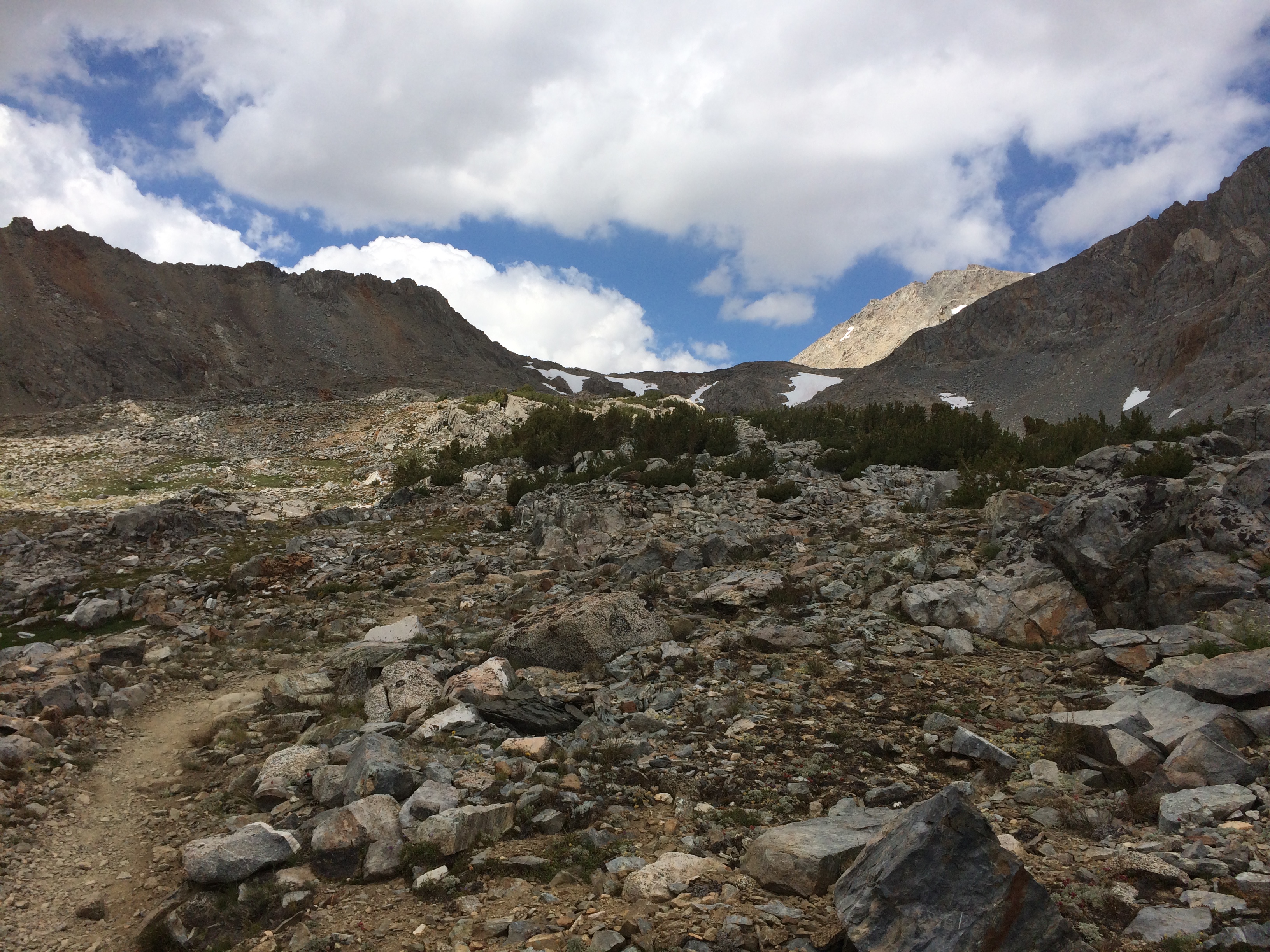
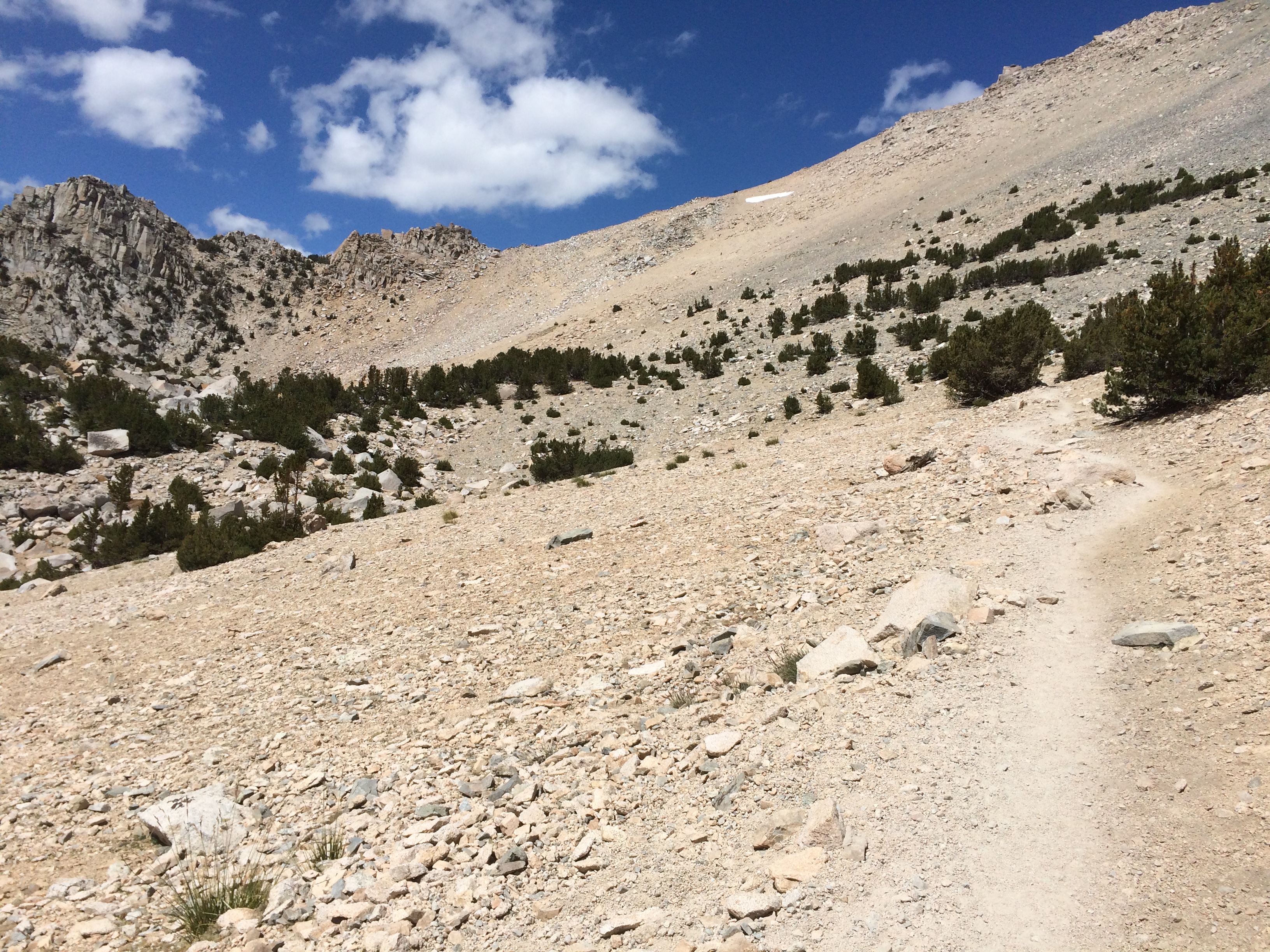
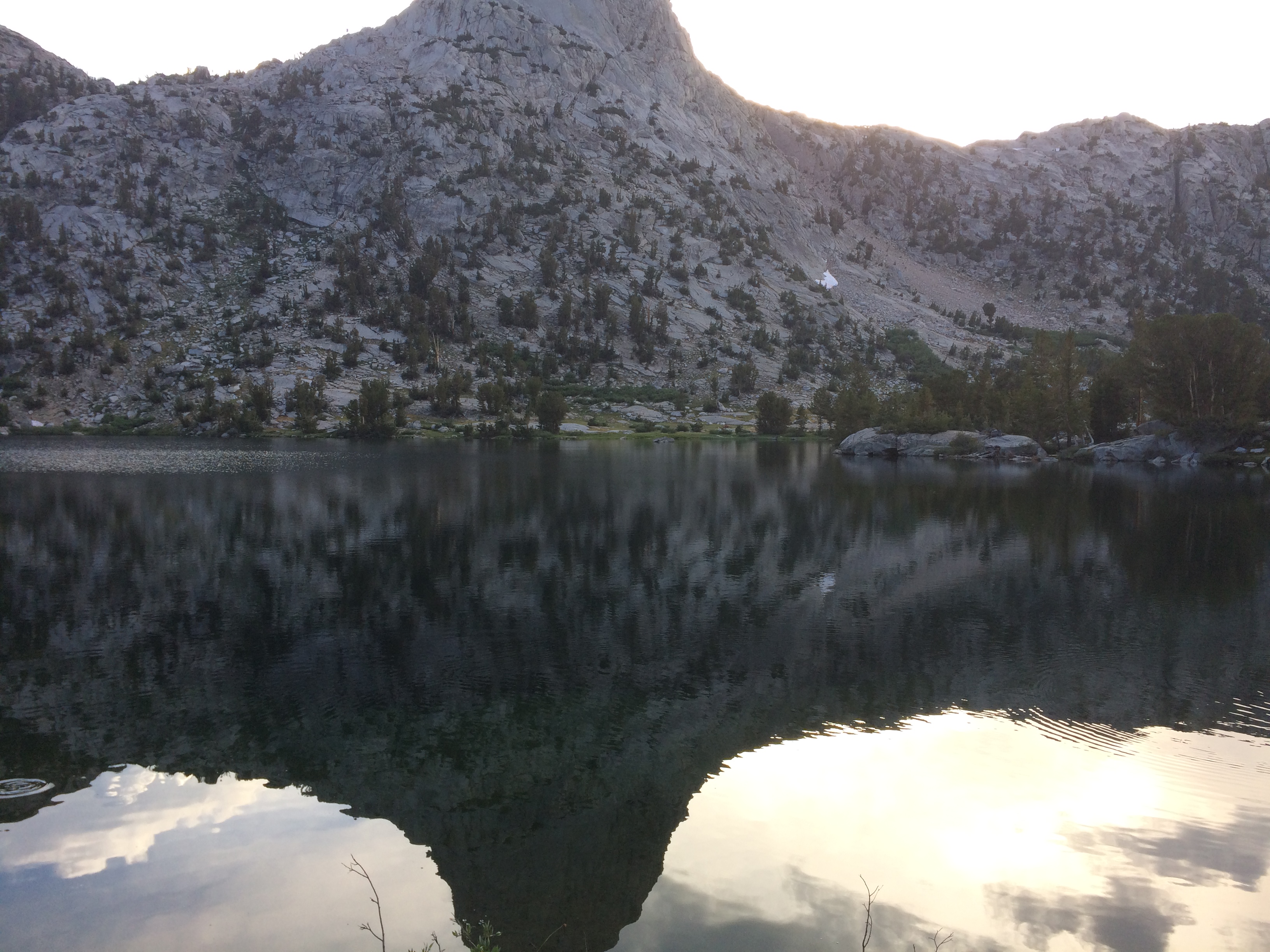
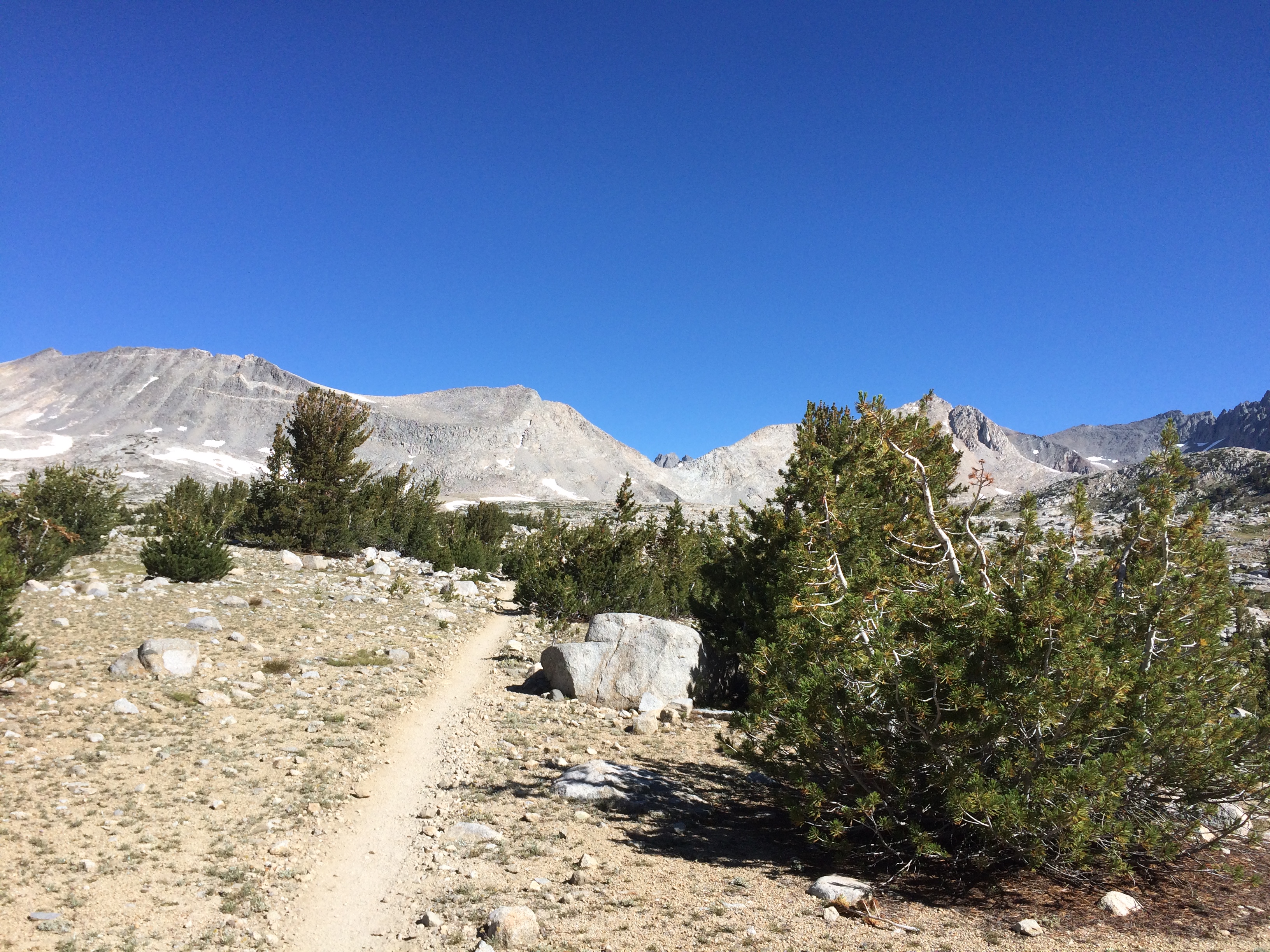
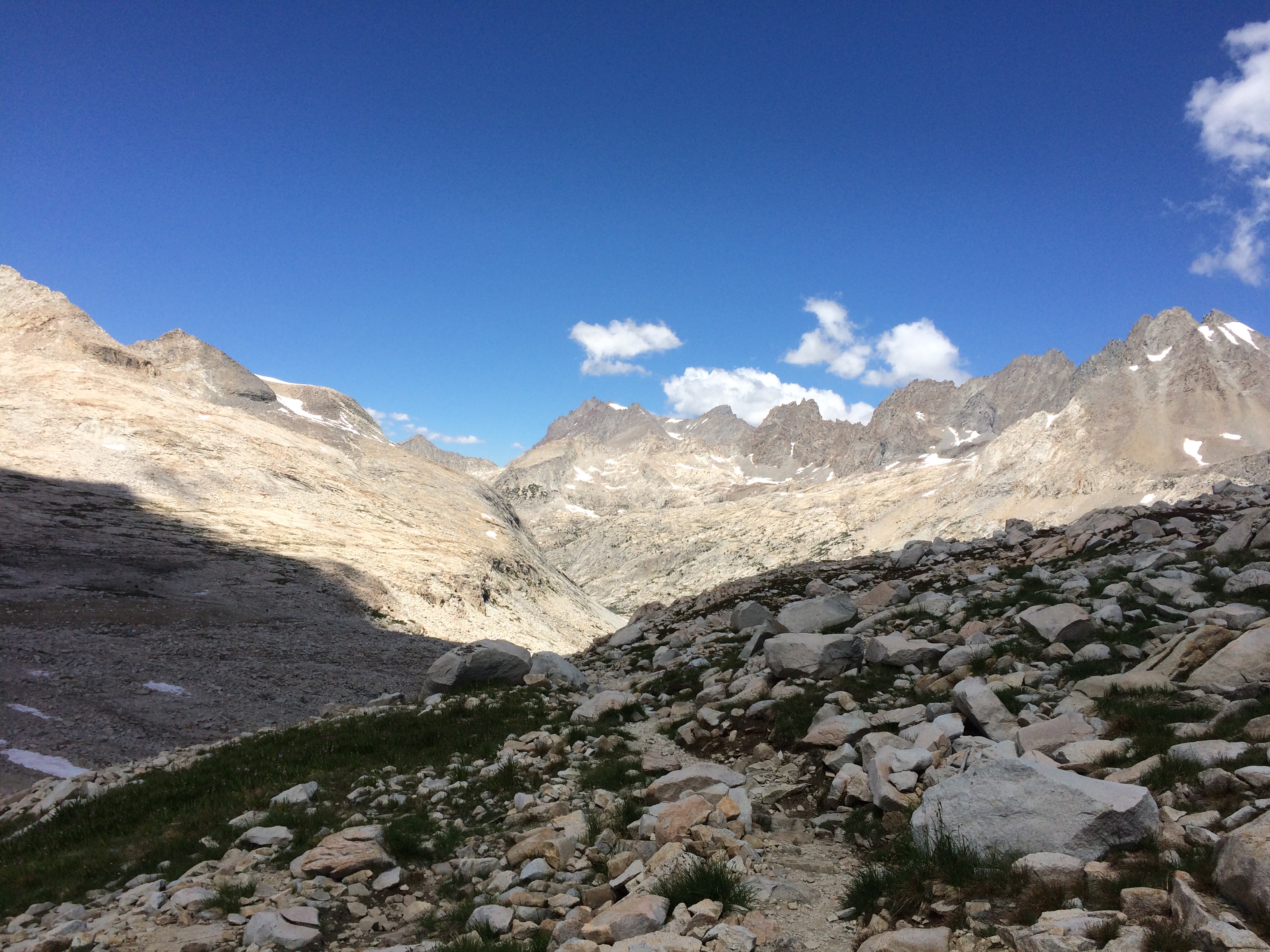
Today the skies were finally cloud free. 

It Rubs the Lotion on its Skin

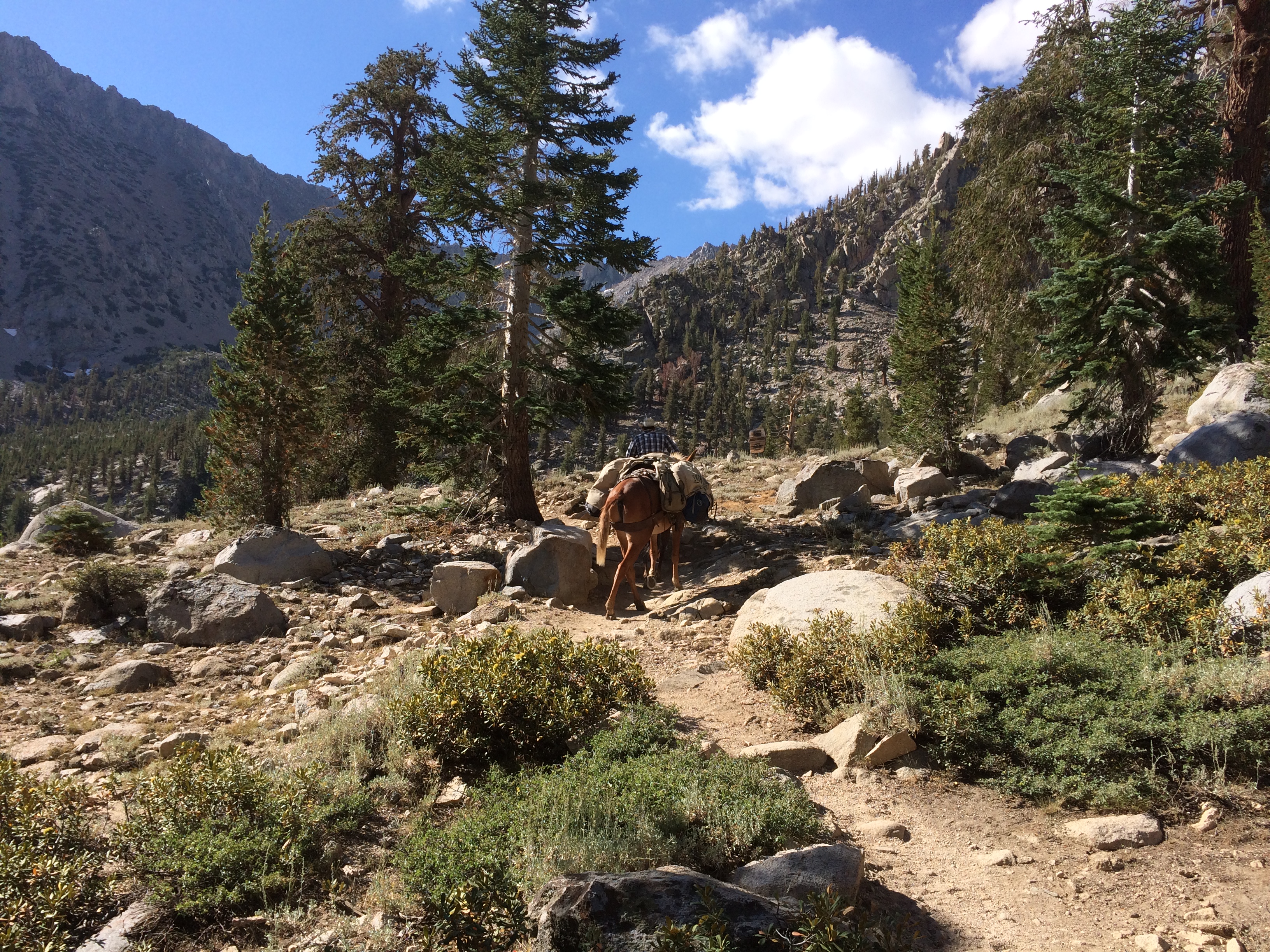
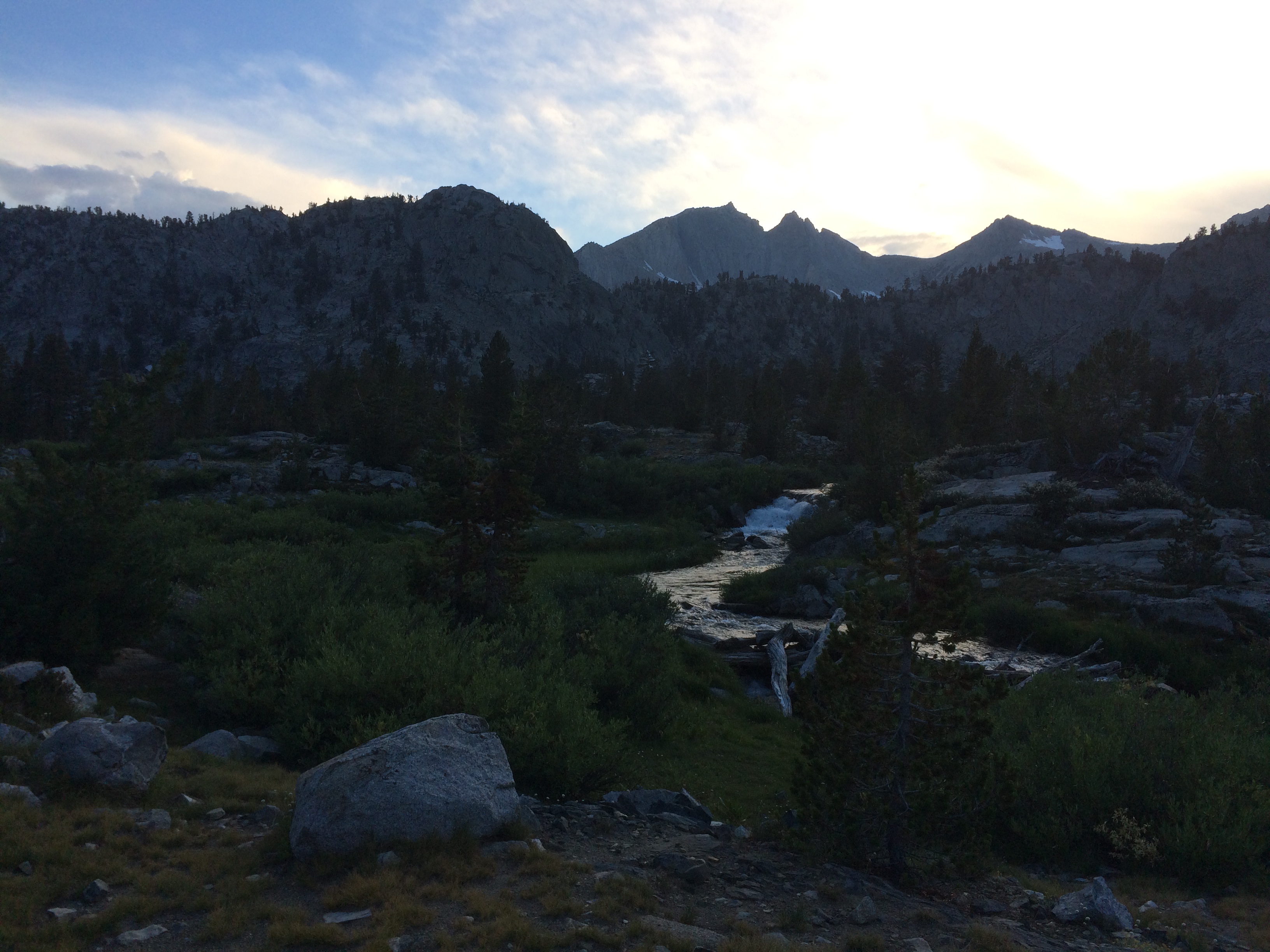
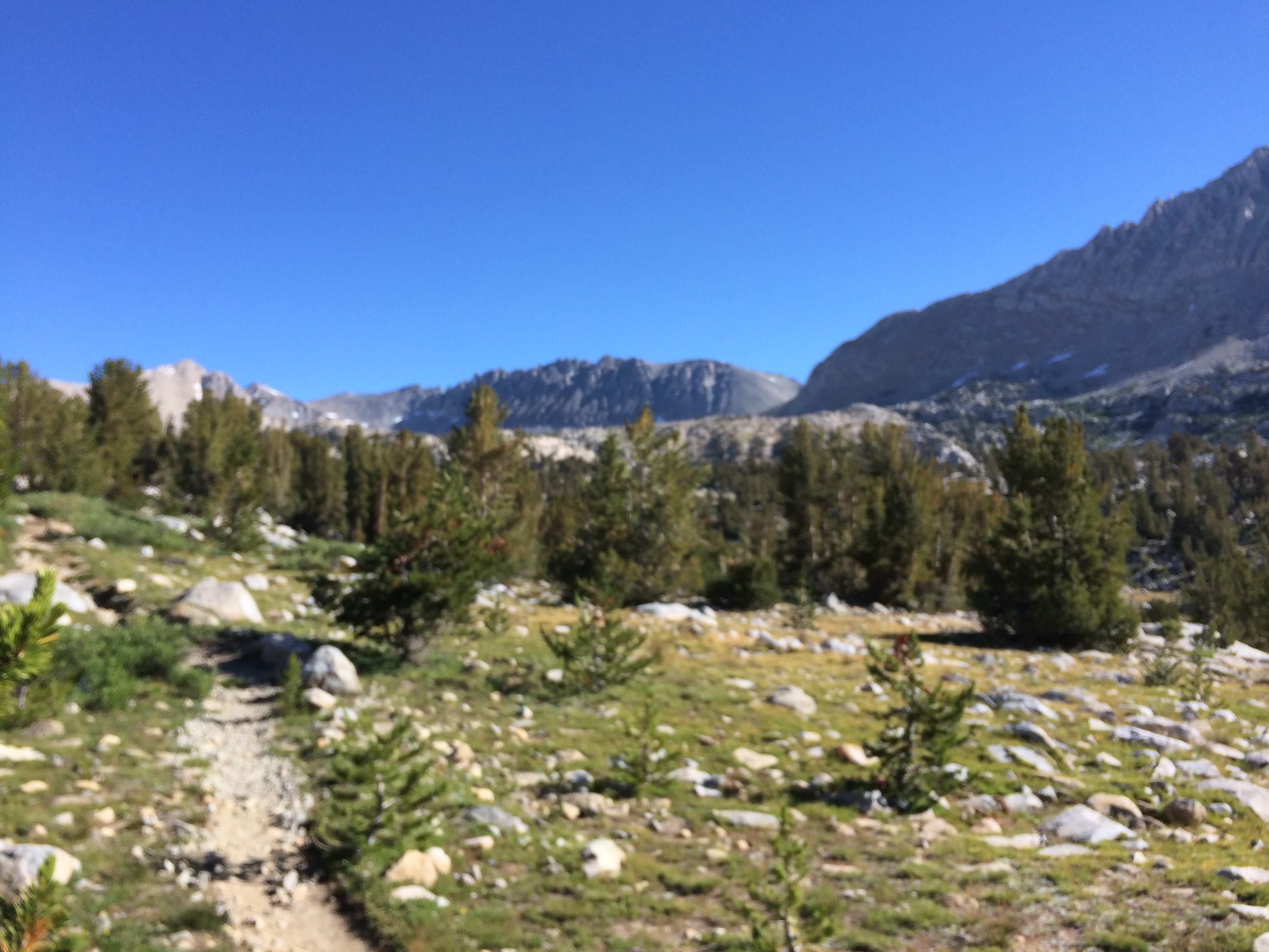
Notice how the trees get scrawnier as I climb

Dwarf Trees
Getting Smaller
The Final Holdouts

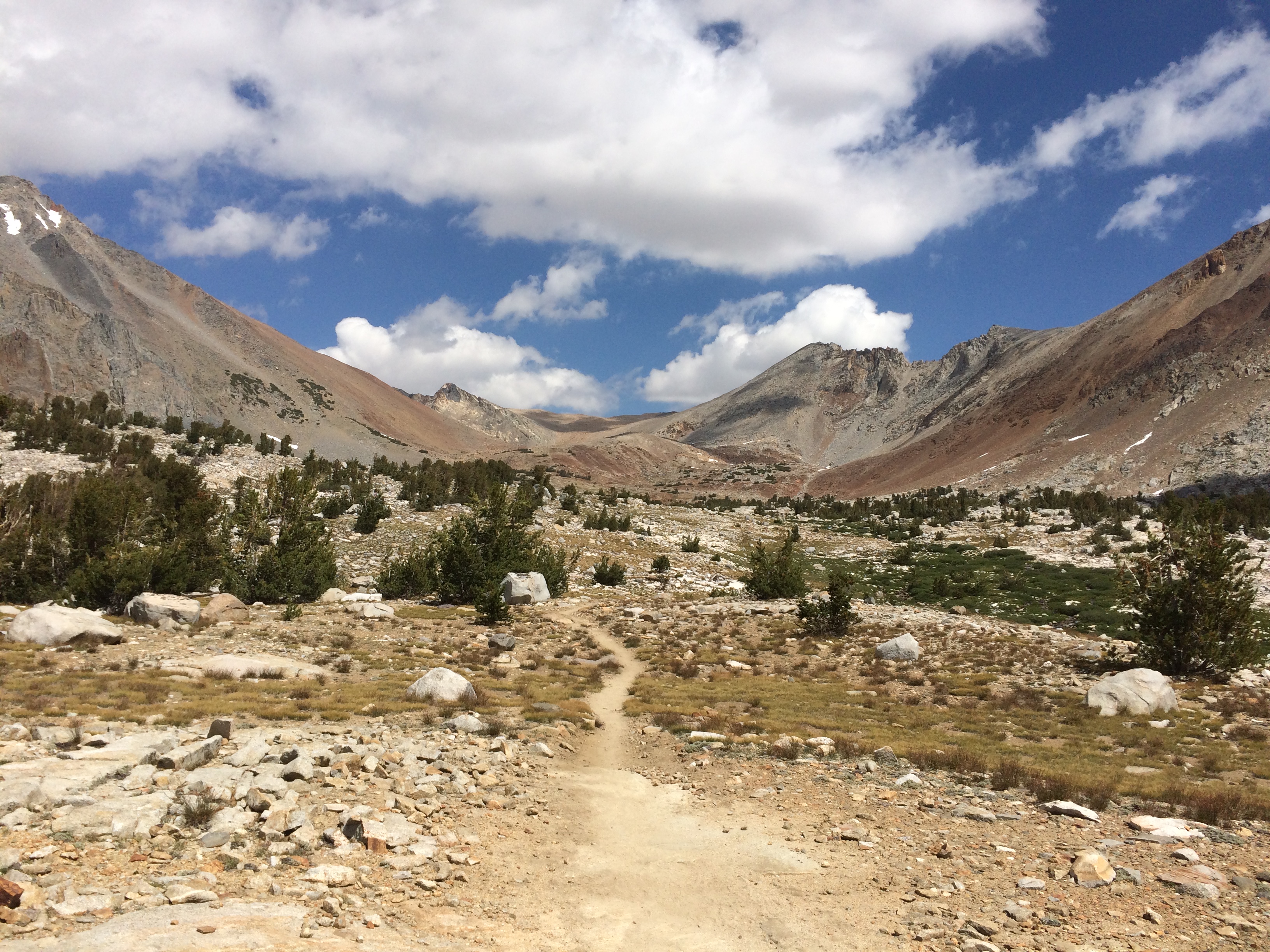
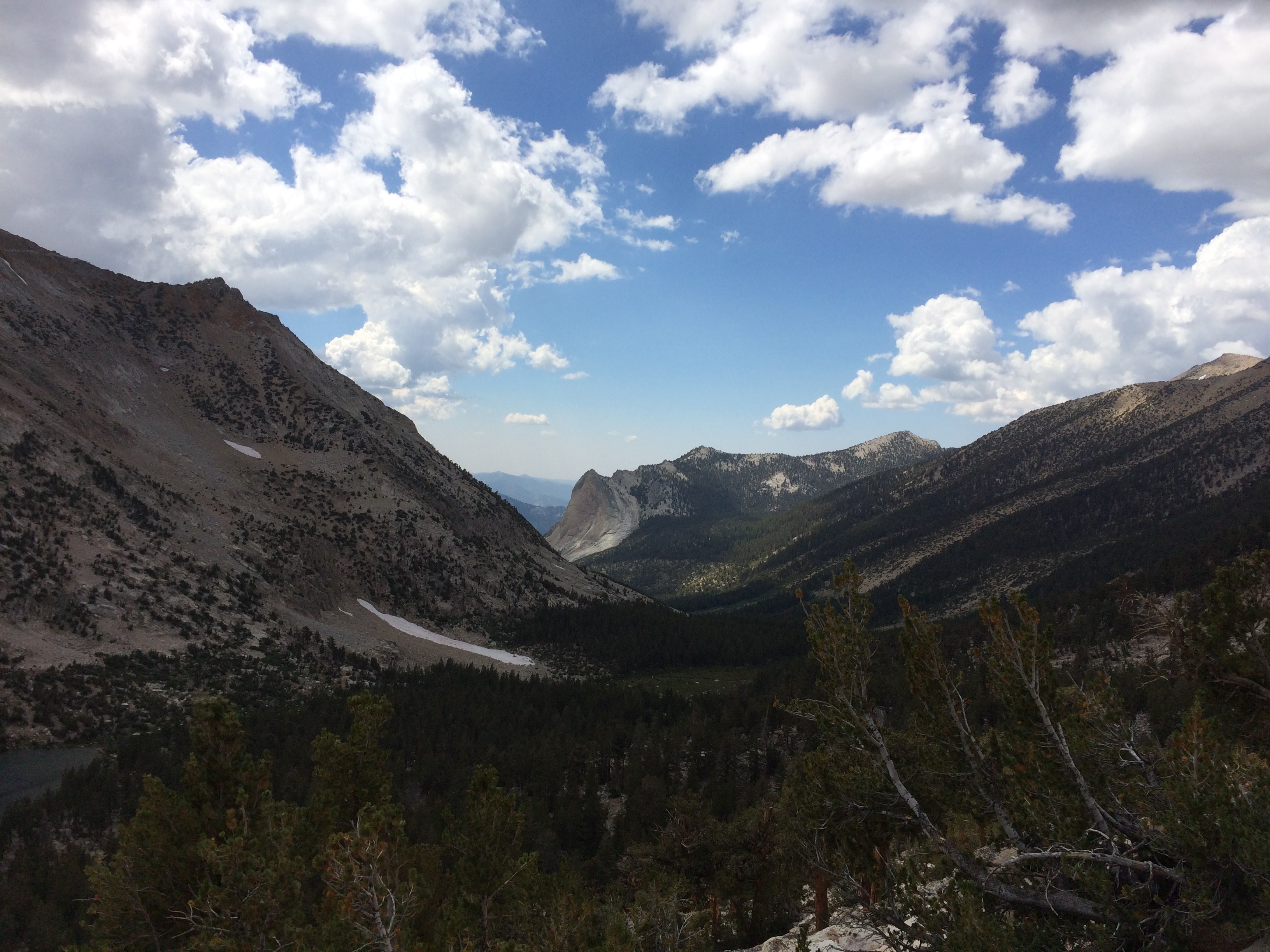
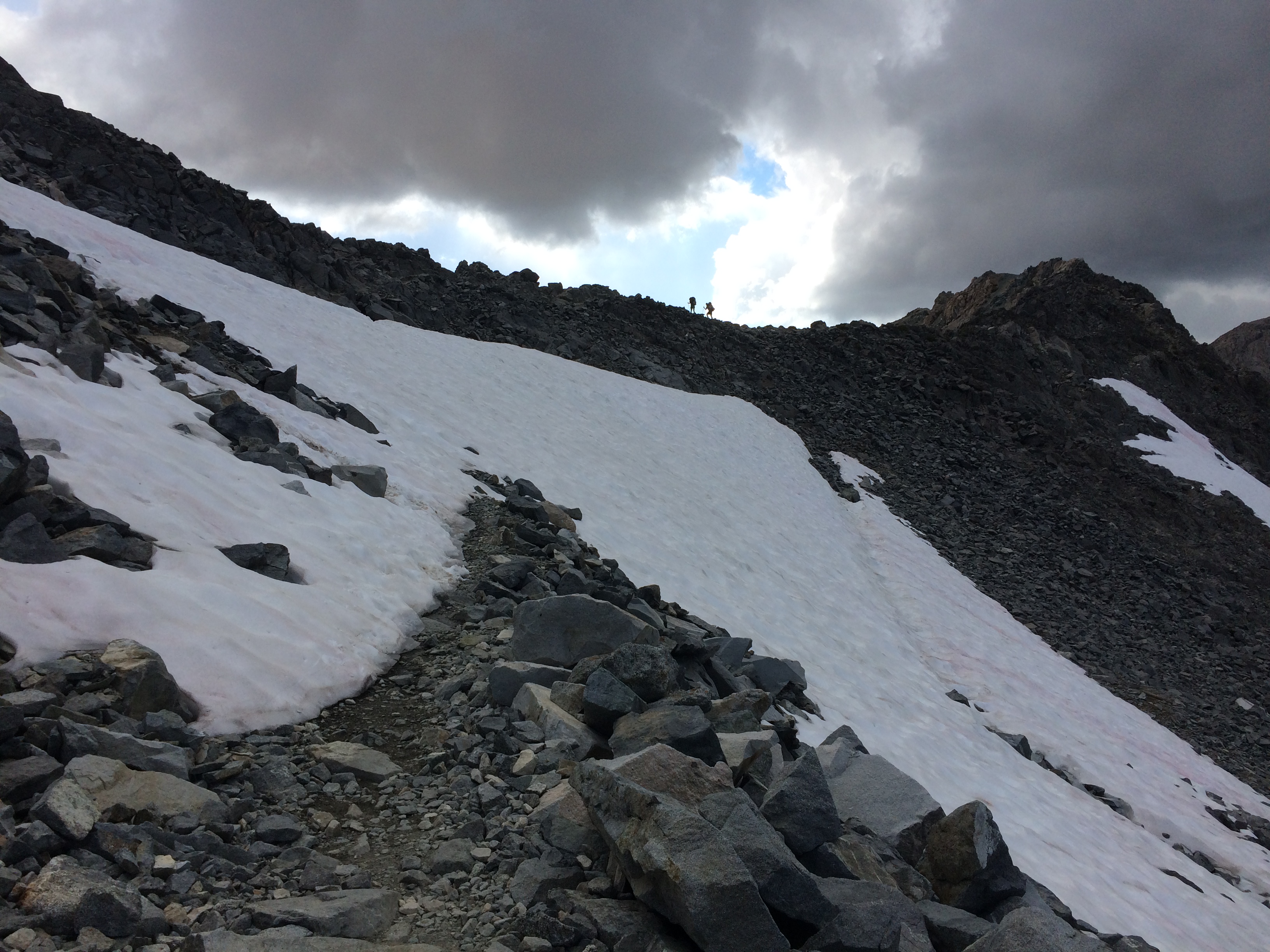
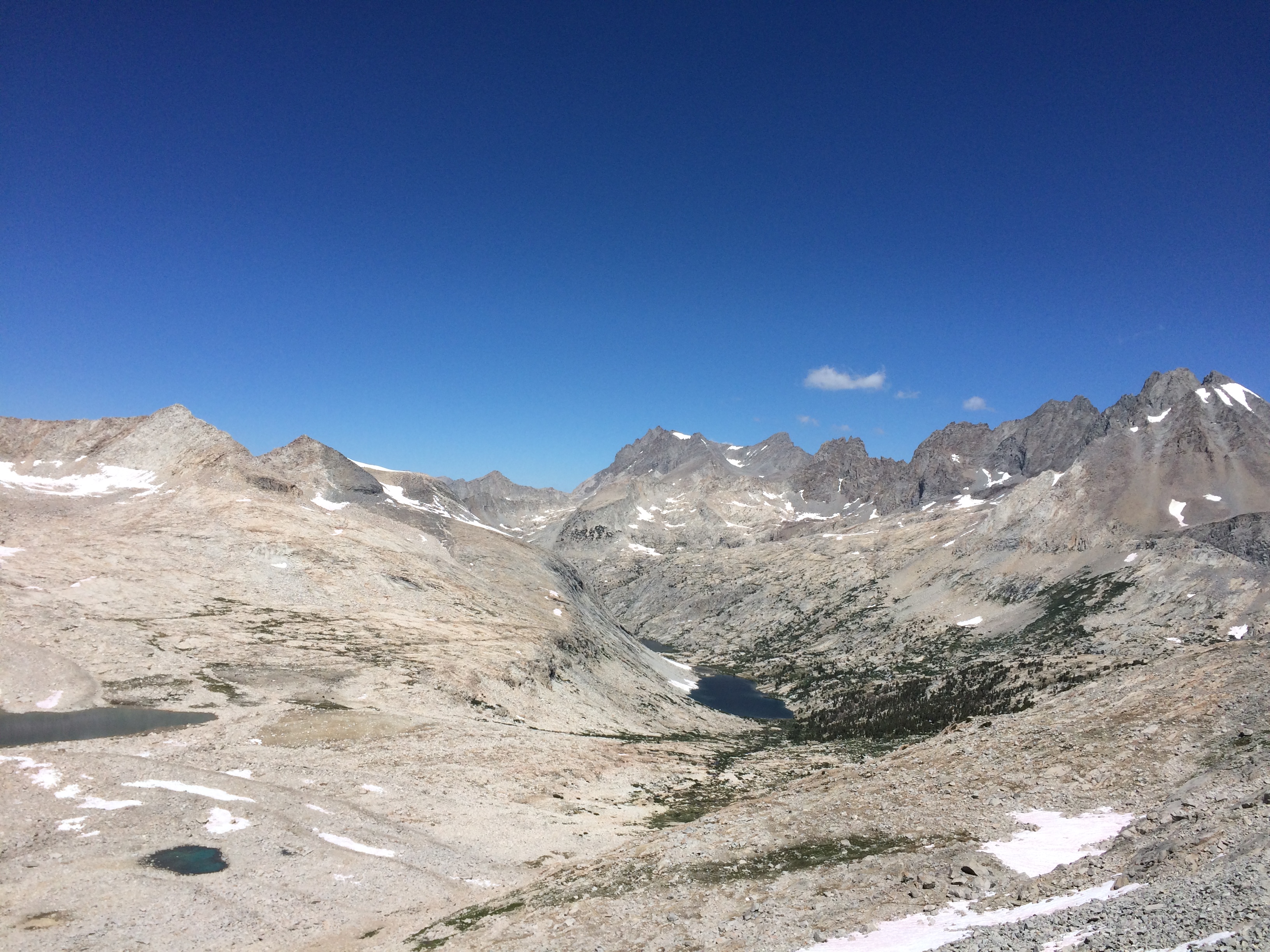
The approach is a has me facing a giant bowl.   It acts like a sound reflector, I could hear hikers chatting on their way down.   These two were particularly loud.  Yapping about babies

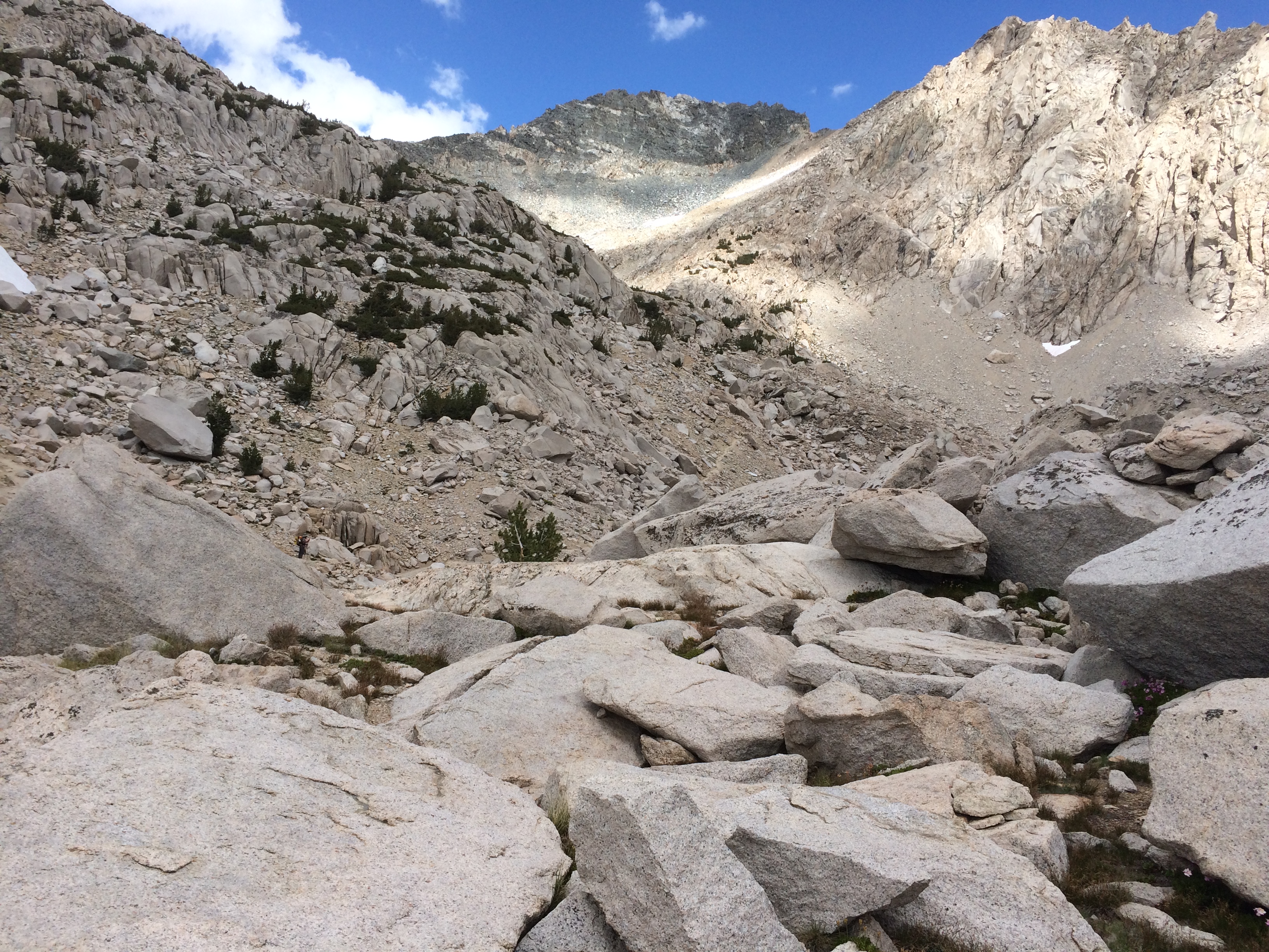
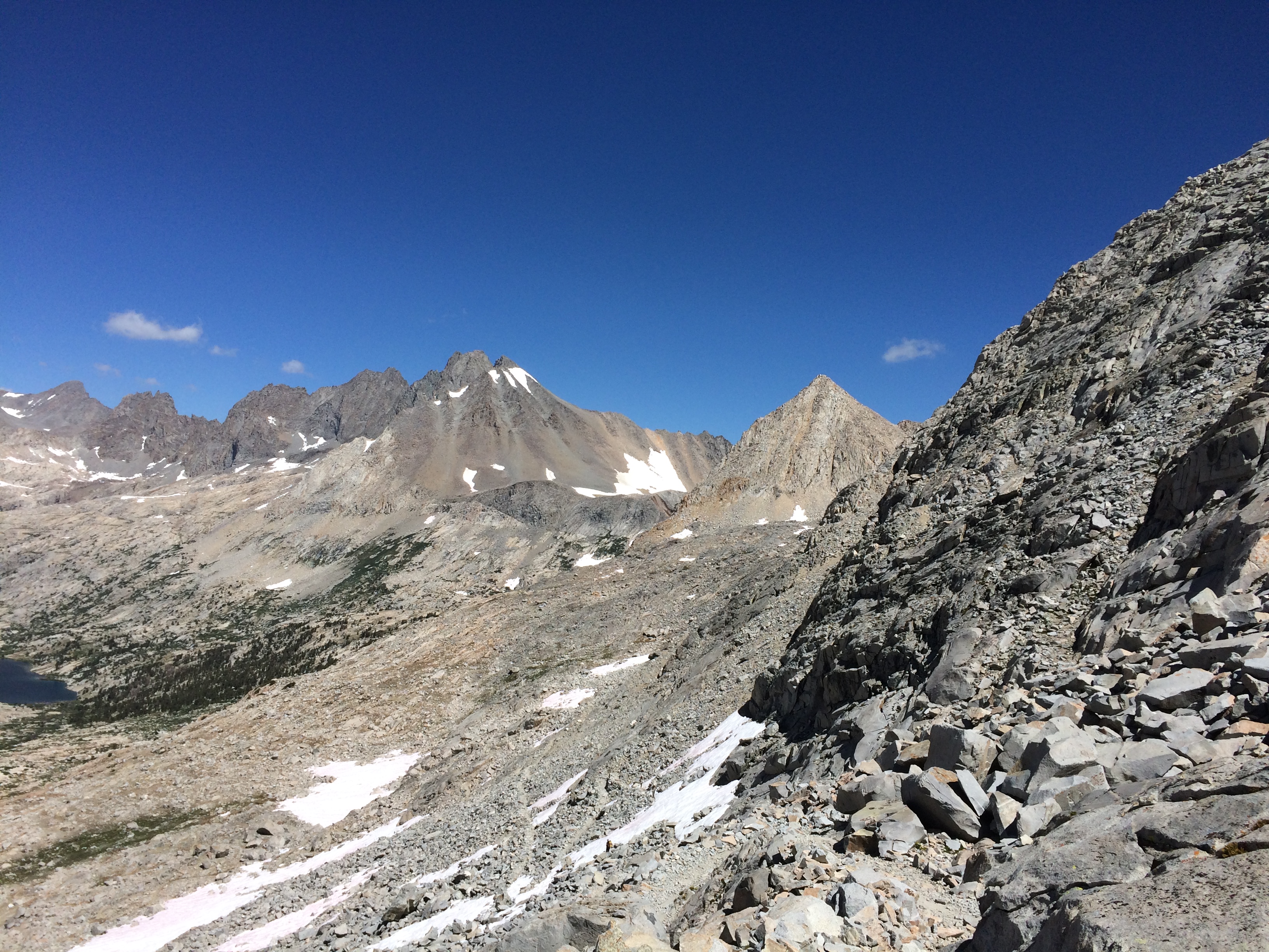
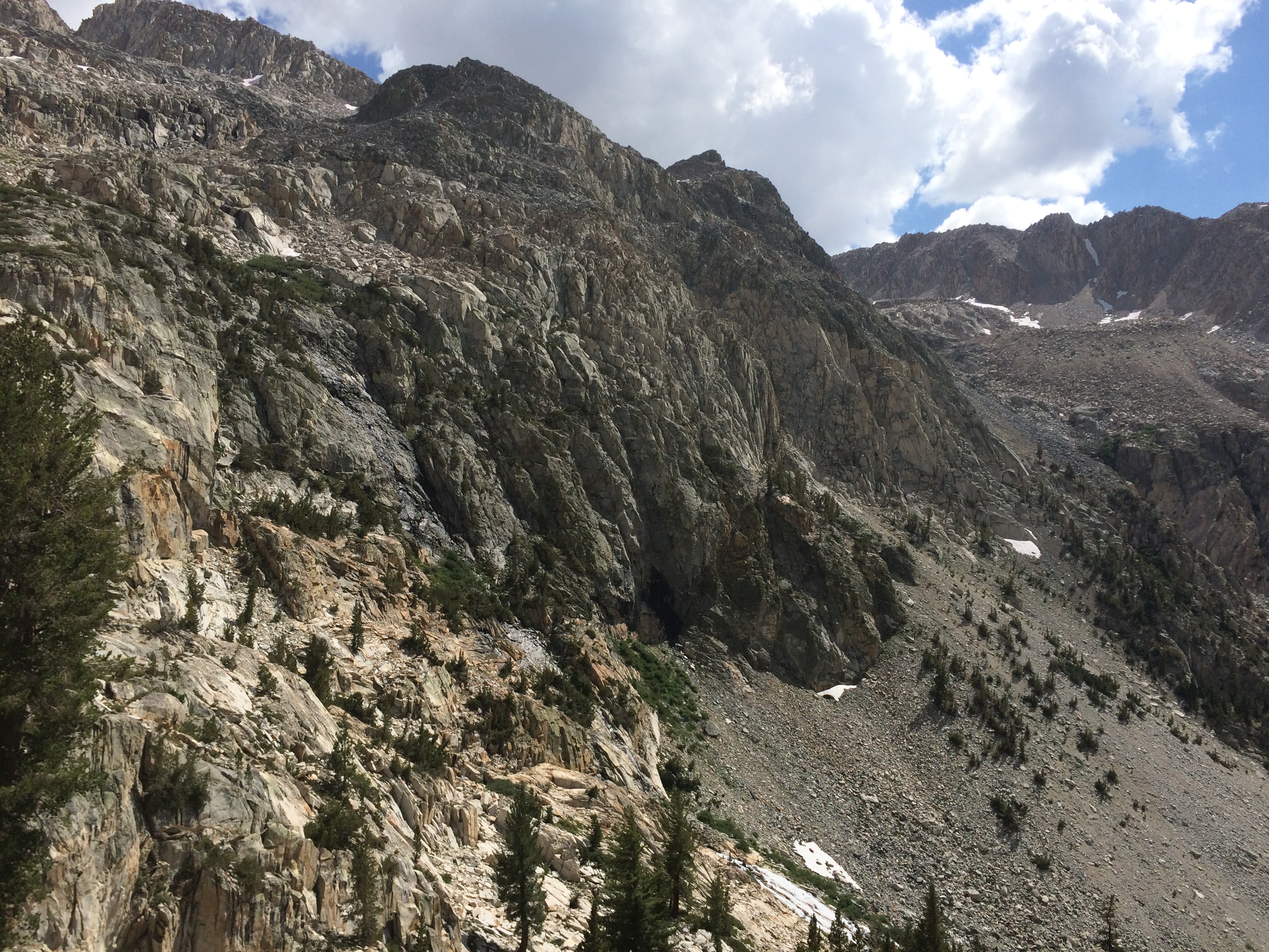
Mather pass is known to be a intimidating because it is a 1,000 feet of loose scree.   The pass itself was not that hard to climb.  I did briefly get creeped out during the climb thinking about walking on this narrow path surrounded by loose rocks above and below.   Increasing the headphone volume seemed to solve that problem.   I cleared the 12k foot peak around 11:30.

View from the Top

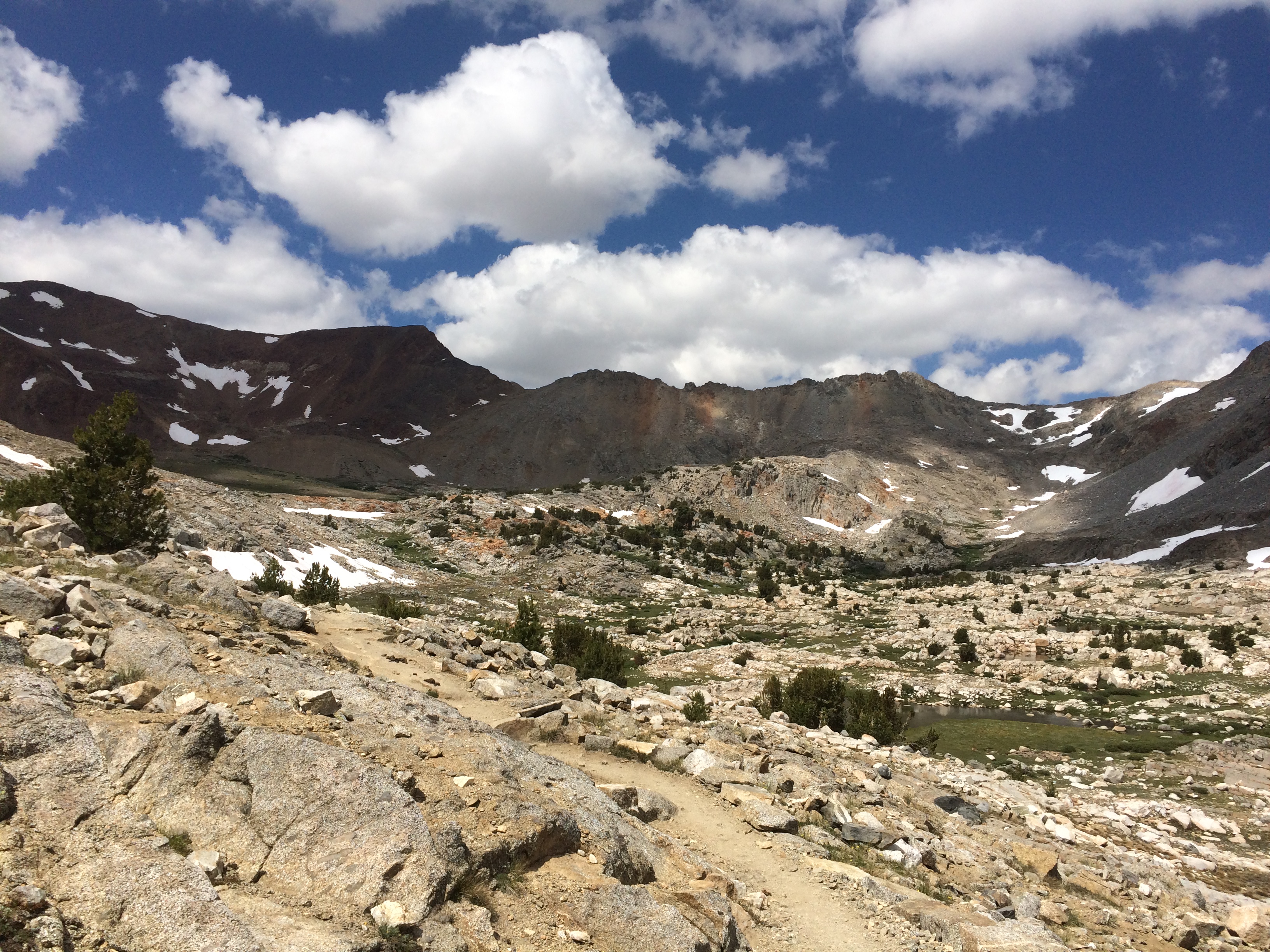
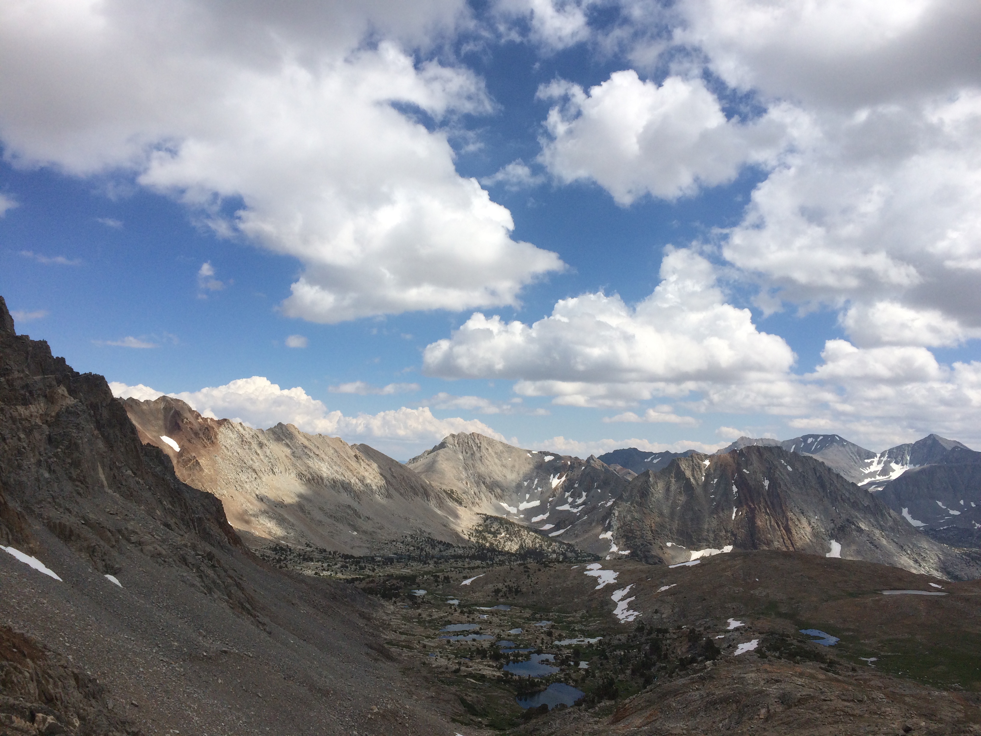
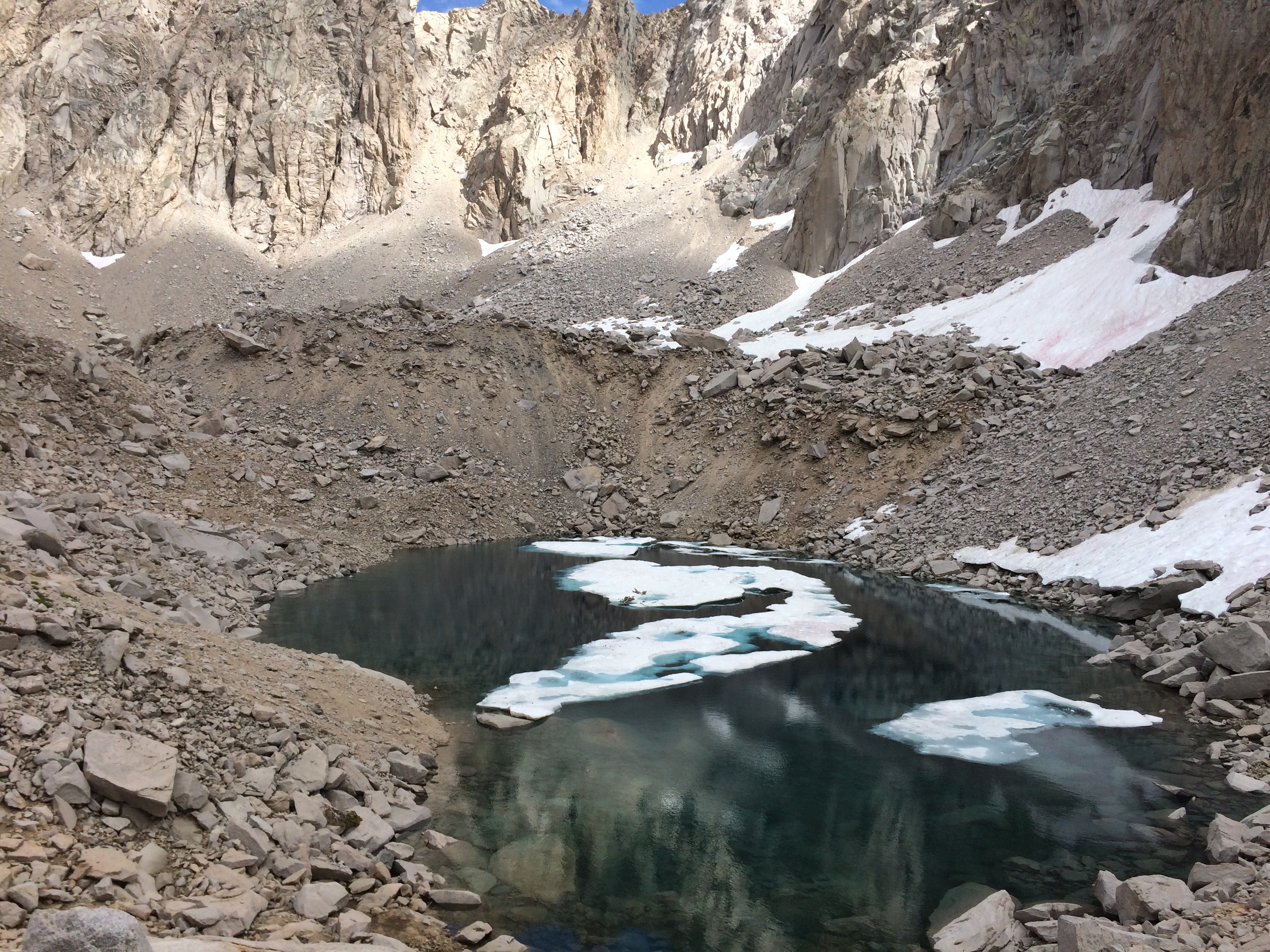
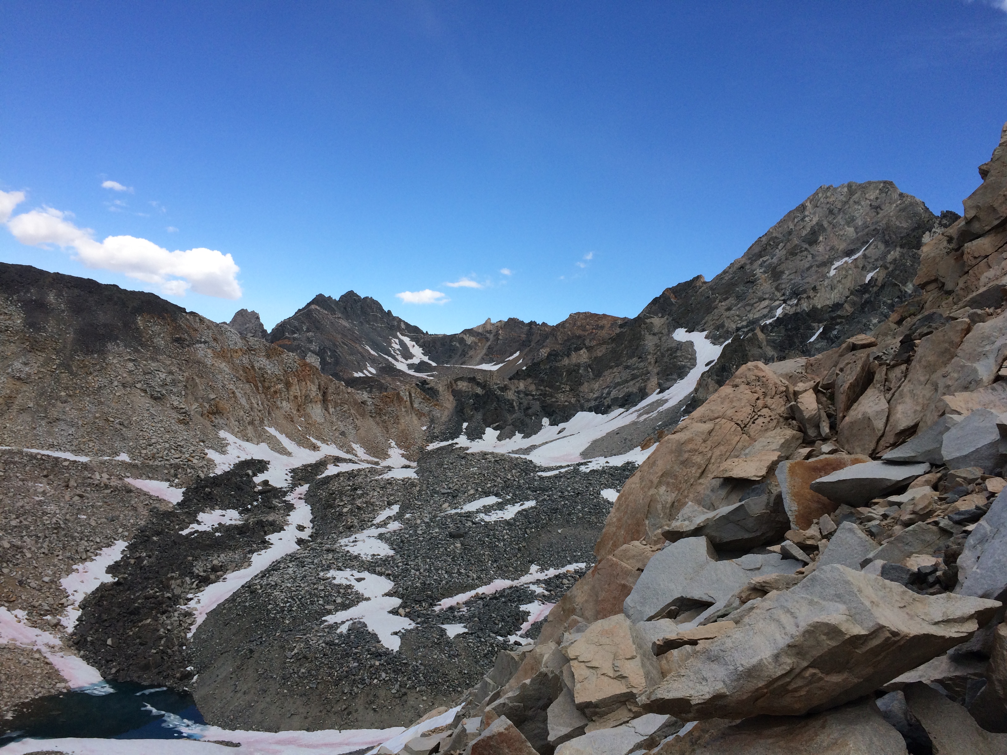
The first bit of the decent was nasty.   The North facing slope still had blobs of snow on them and the pitch was super steep.   Had to do a couple rock scrambles to get below the snow covering the trail.  

Had to Rock Scramble below the Trail
Looking back on that Section

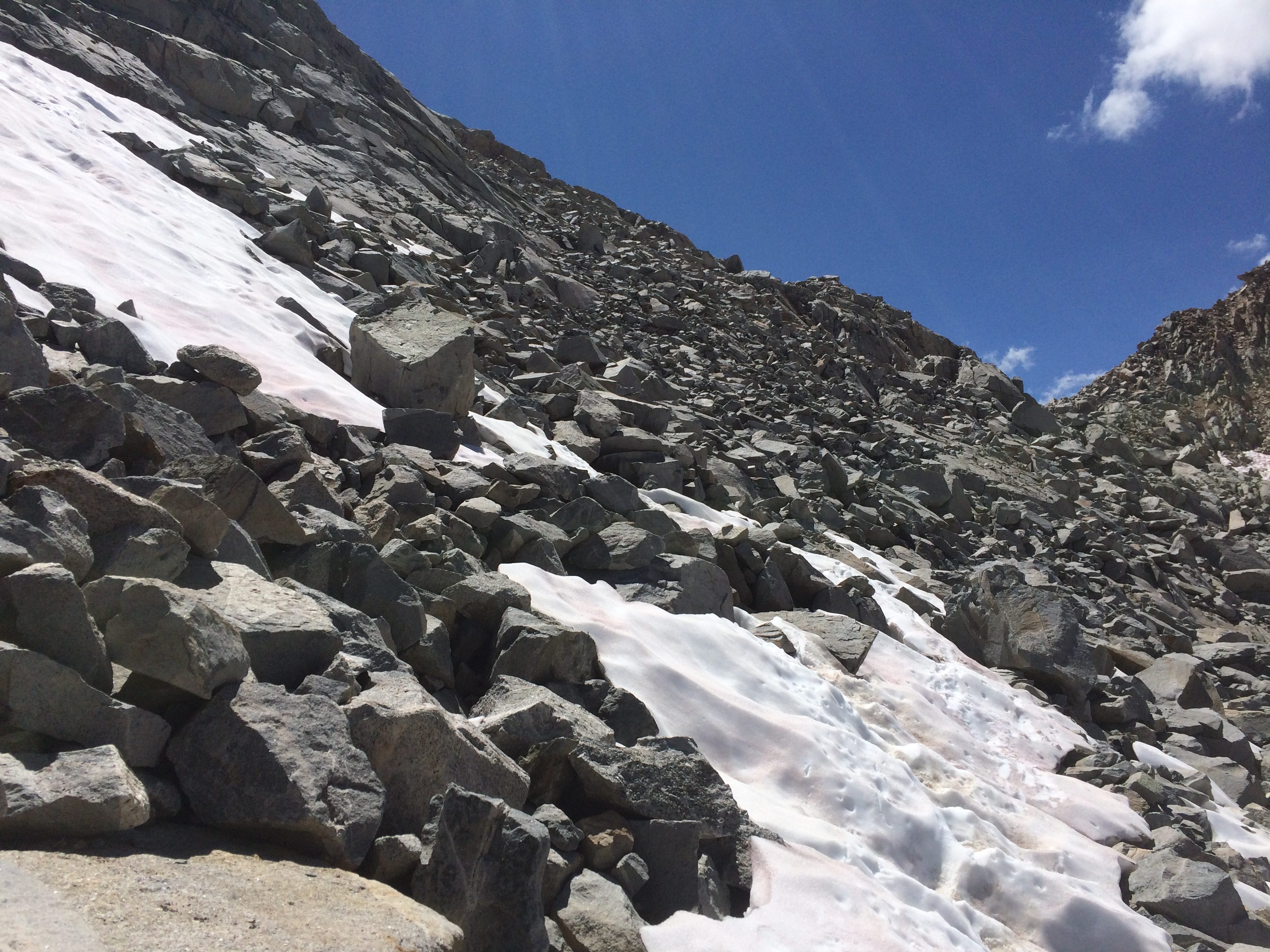
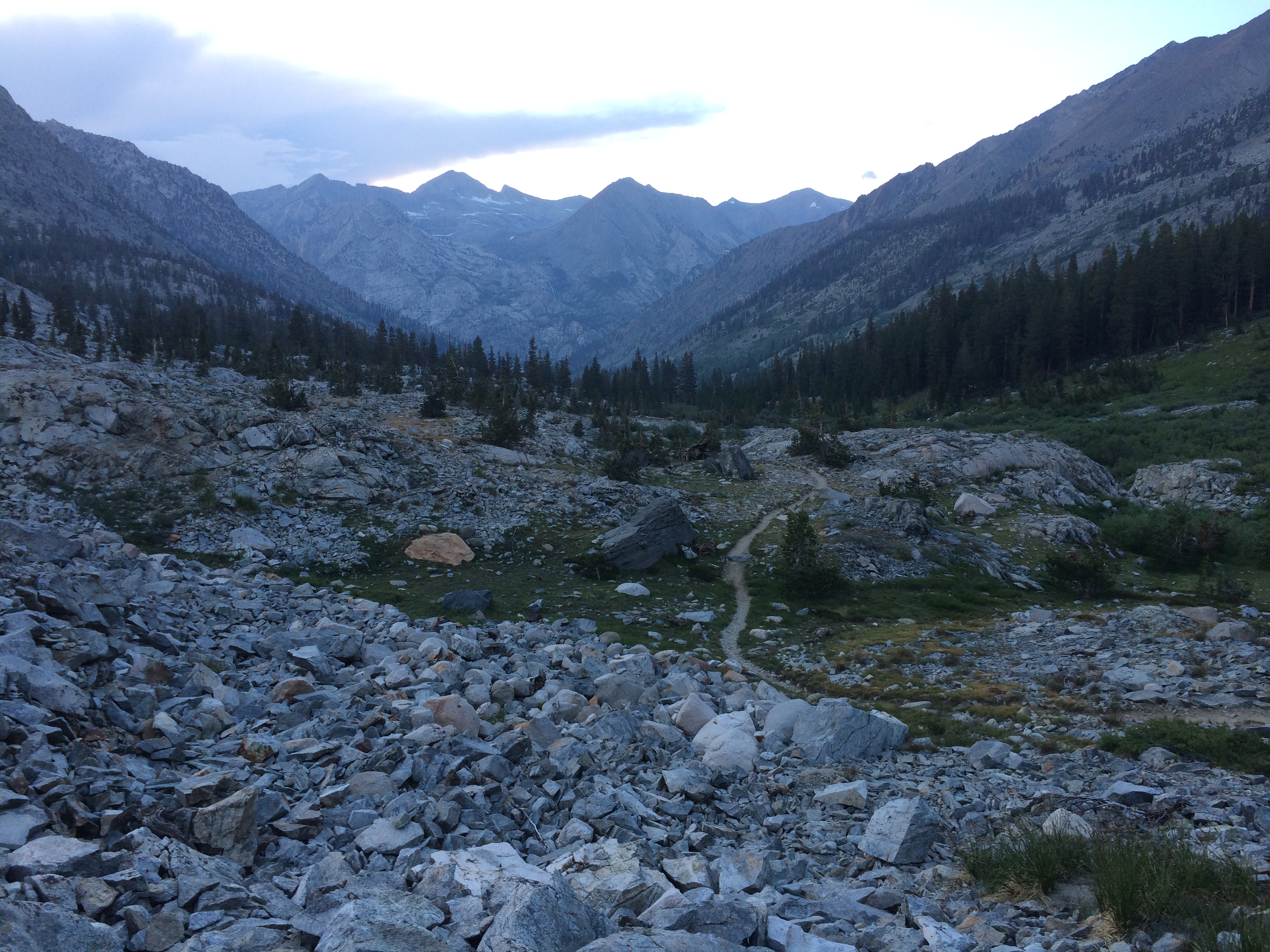
I always try to keep the camera level on this pics so the pitches are accurately represented.    Looking at these now it doesn’t convey how it actually felt.   Dropping up to 2 feet per step on sometimes loose boulders at odd angles while wearing a 40 pound pack.    Just happy I’m not there anymore.

Greening up at 10.5k

Palisade Lake

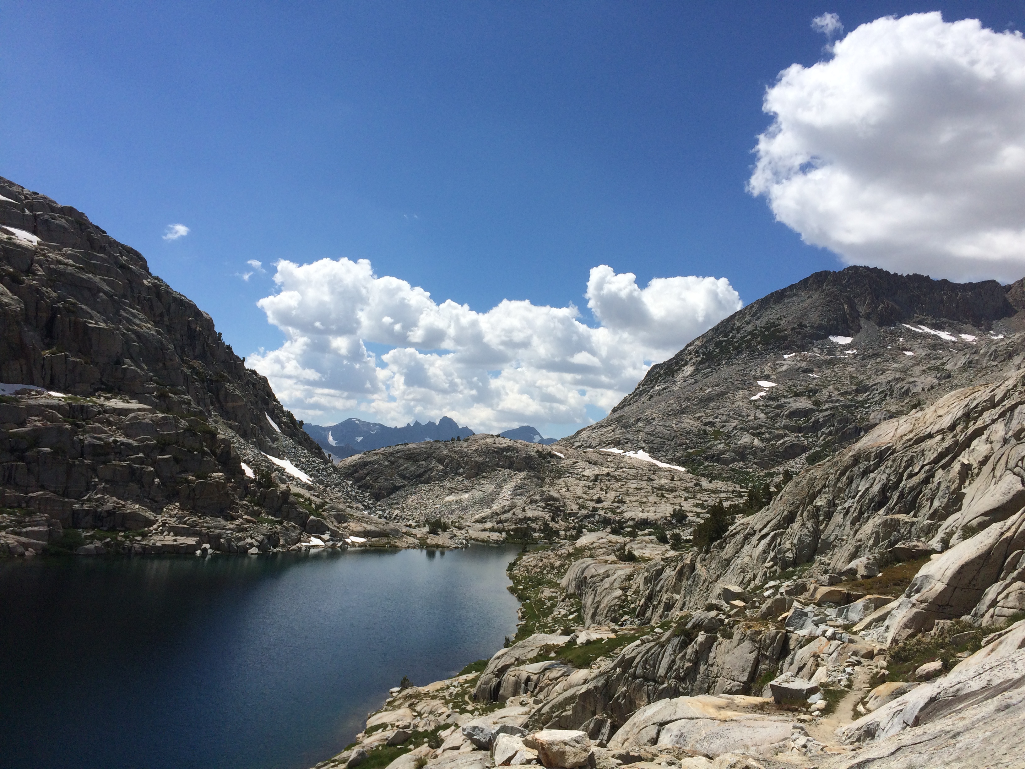
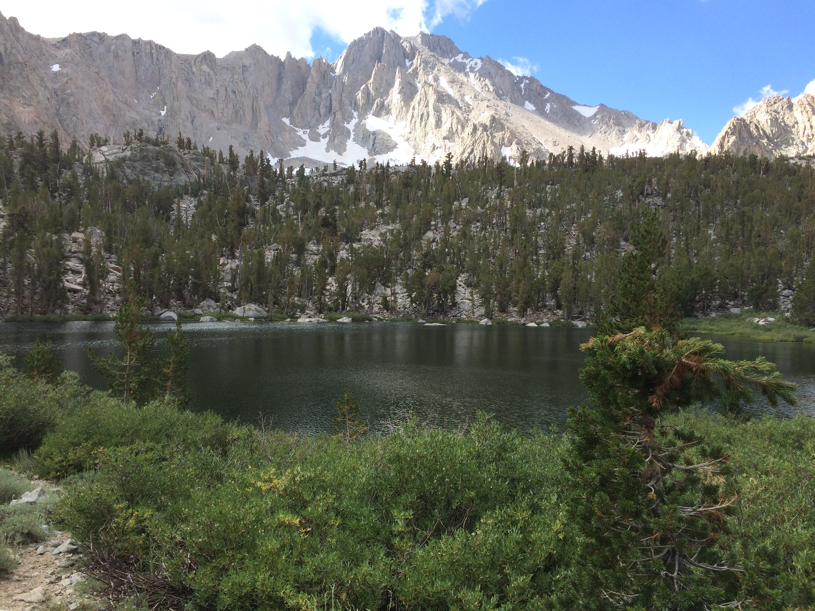
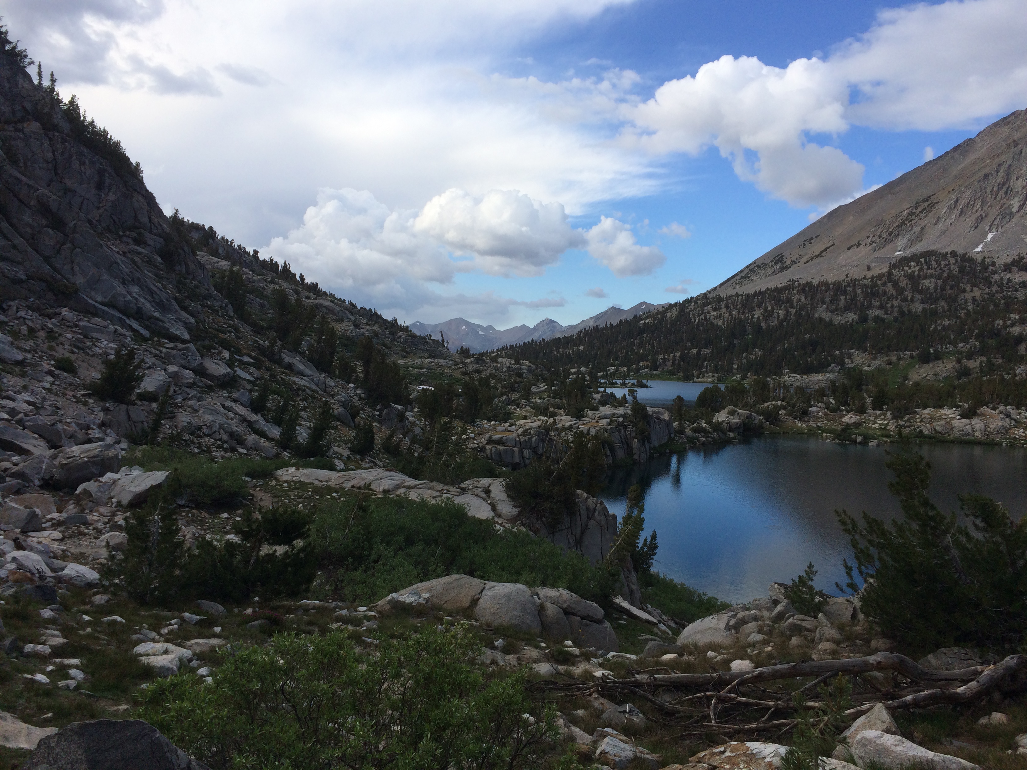
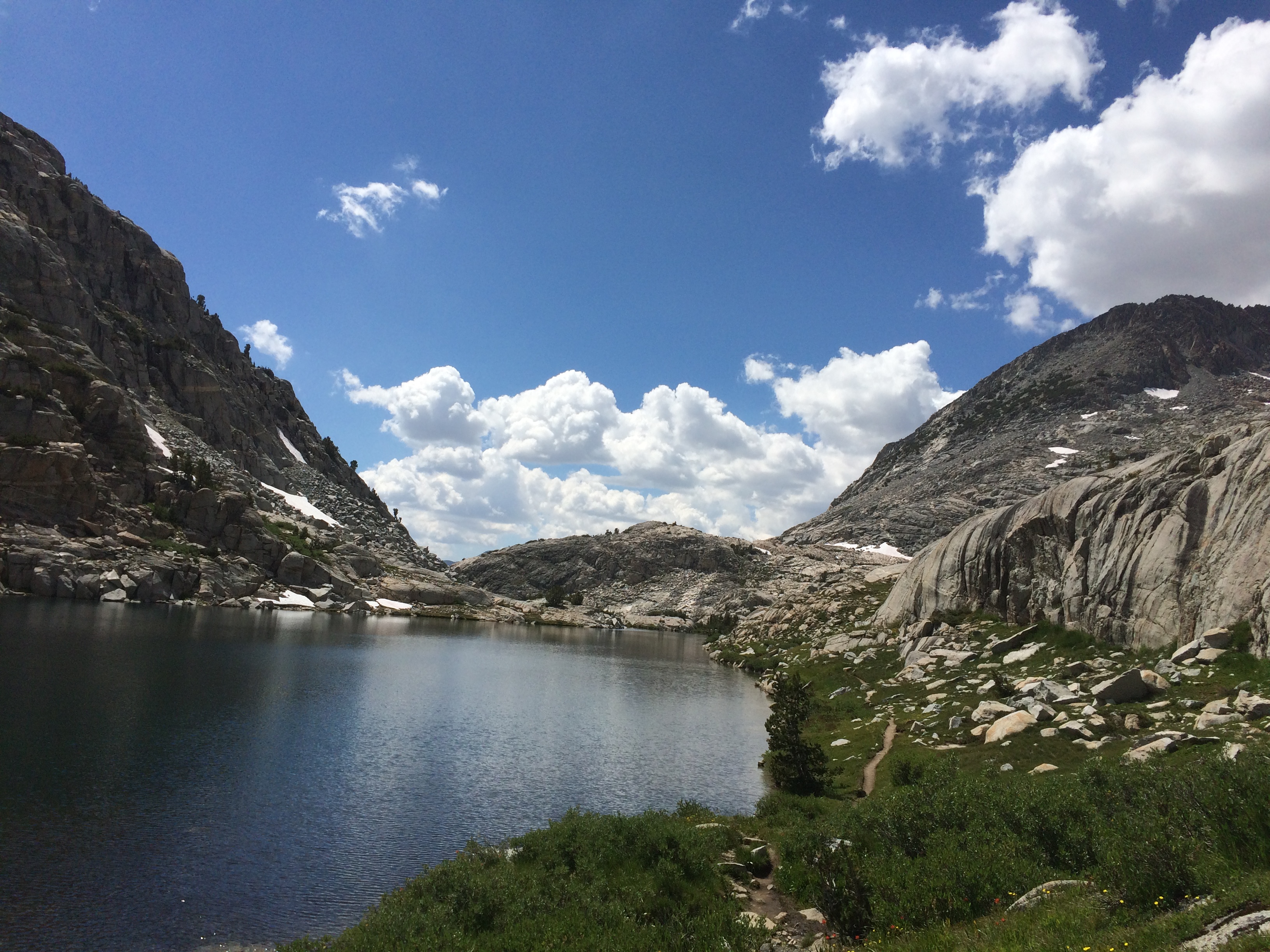
I ran into a guy named Michael who gave me a little info about the area.  Here is a little video around Palisade Lake.   The ridge line I incorrectly call “Paradise Ridge” is, I think, the Palisades.   On the other side of that ridge is the biggest glacier in California.    Below Mather Pass

Rest of the day continued to be a very long descent.   Somewhere along the way, I hooked up with Michael again and we hiked together for a bit.   He was trying to decide where the optimal place was to smoke a joint.   Apparently he visited his local reefer store in Nevada and told him his plans to hike for a week.   The guy there pulled up a database of different strains, recommending “Blue Dream”, “White Rhino”, and some other one he couldn’t remember.   Hmm….  When I was young you got whatever the dude had stuffed in his underwear.   Michael really wanted me to join him in his Blue Dream moment, but that seemed a good way to waste half the day.   I left Michael sitting on a rock enjoying the scenery.   He is probably still there. 

Passed the lower Palisade lake and started descending the “Golden Staircase”.  Believe me, it is anything but golden.

The Path to the Golden Staircase

The staircase is a tight, steep spiral below the outlet of lower Palisade lake.   Thing is so tight that I could not find a good angle to take a picture.    Folks climbing up it seemed distinctly unhappy.

On the way down I ran into an older lady who kind of reminded me of Aunt B from the Andy Griffith show.   I had the impression she’d get winded just walking up a flight of stairs…yet here she was.   Then I got the story, apparently some kid saw her start climbing.   He ran over, dropped his pack, grabbed hers, and ran her it all the way up.   At least a 500 to 750 foot climb.    Now that is some trail magic.  

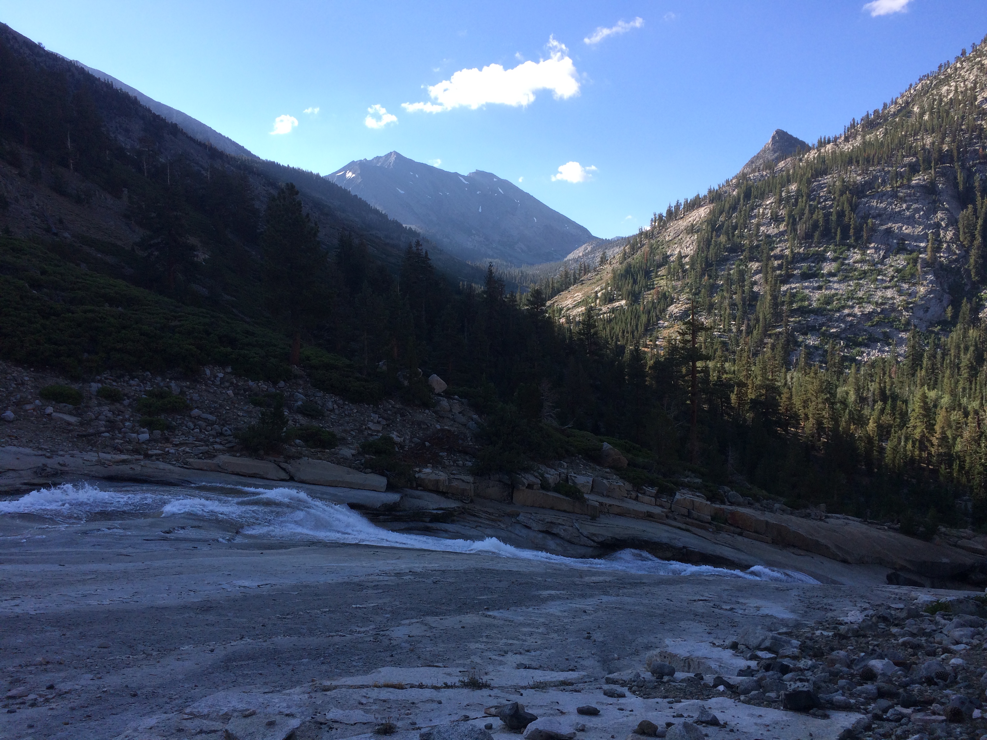
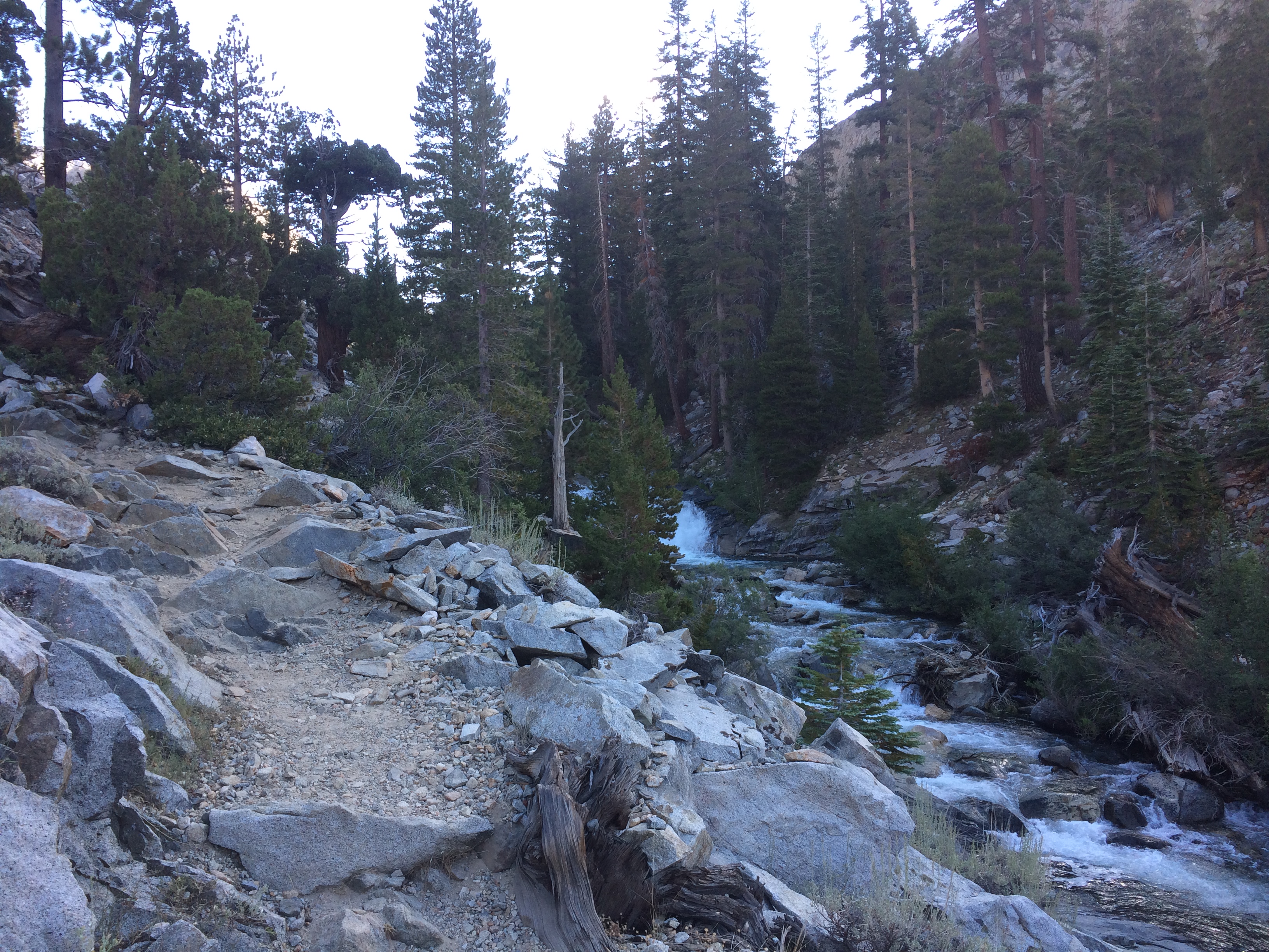
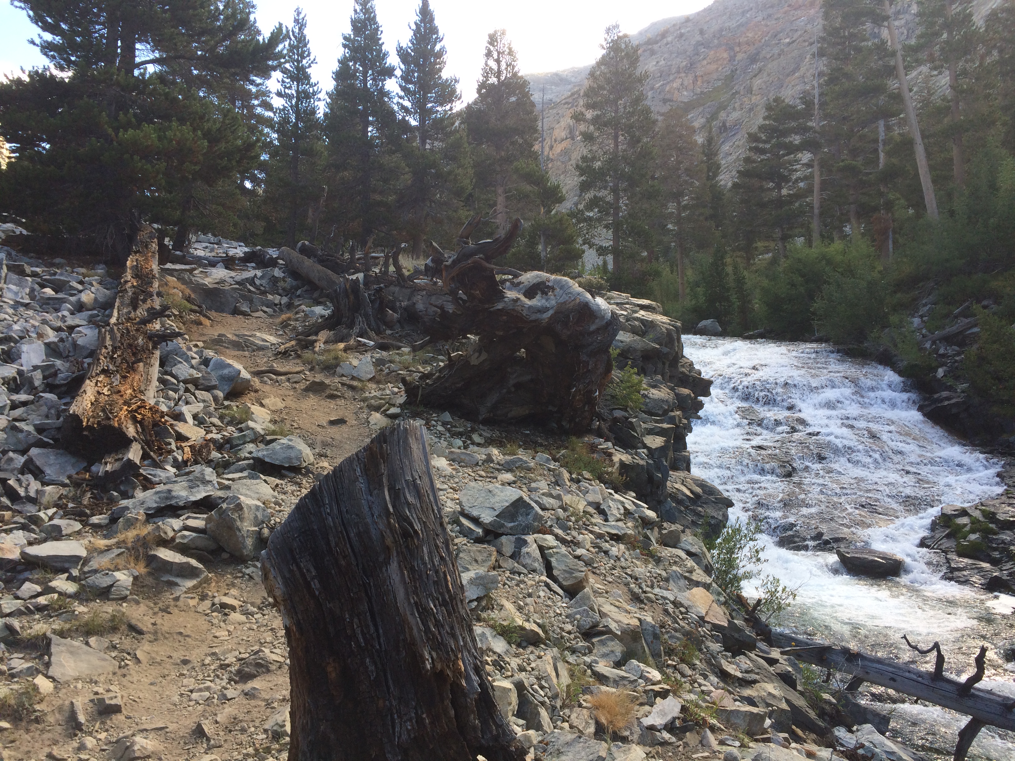
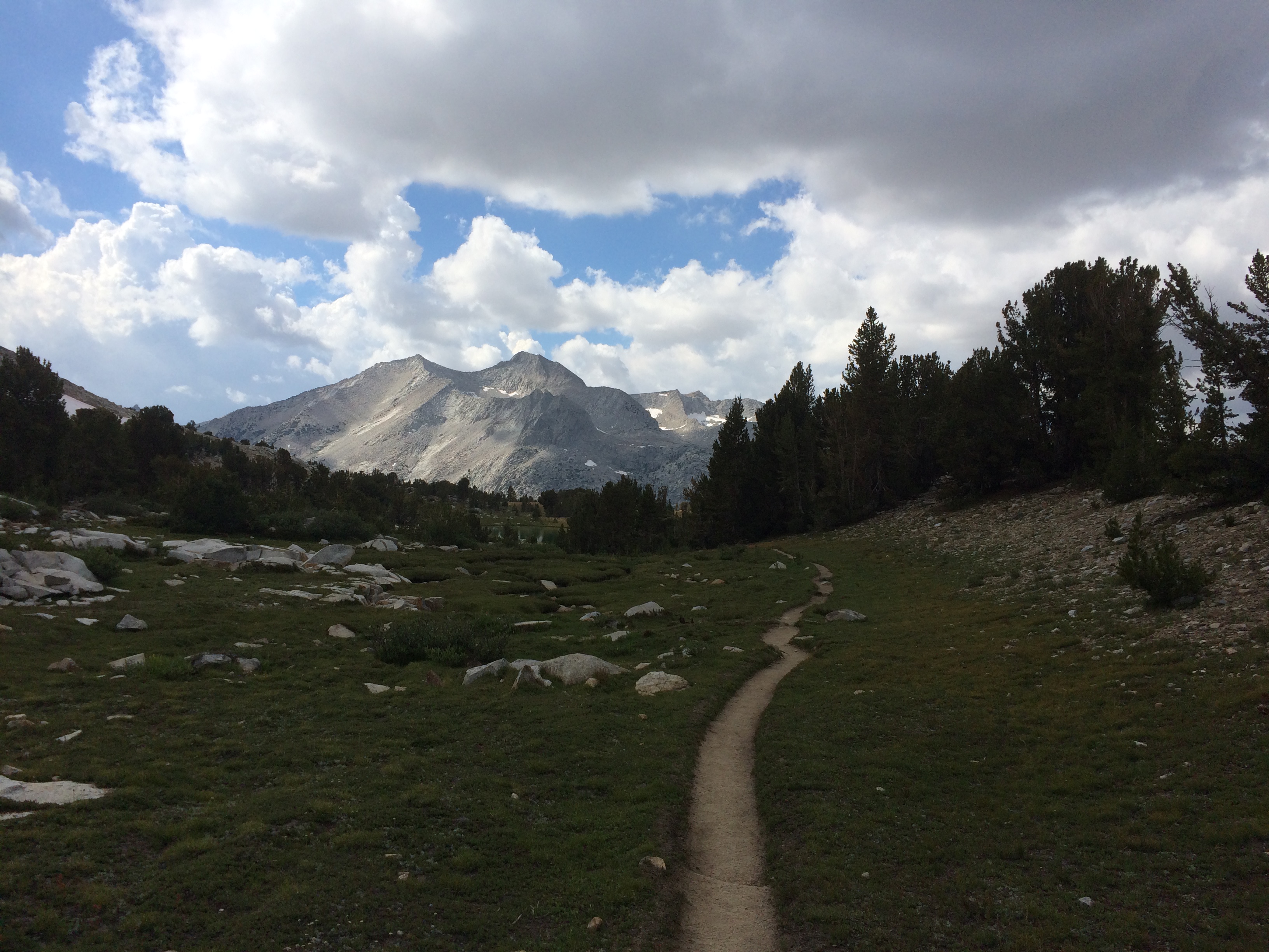
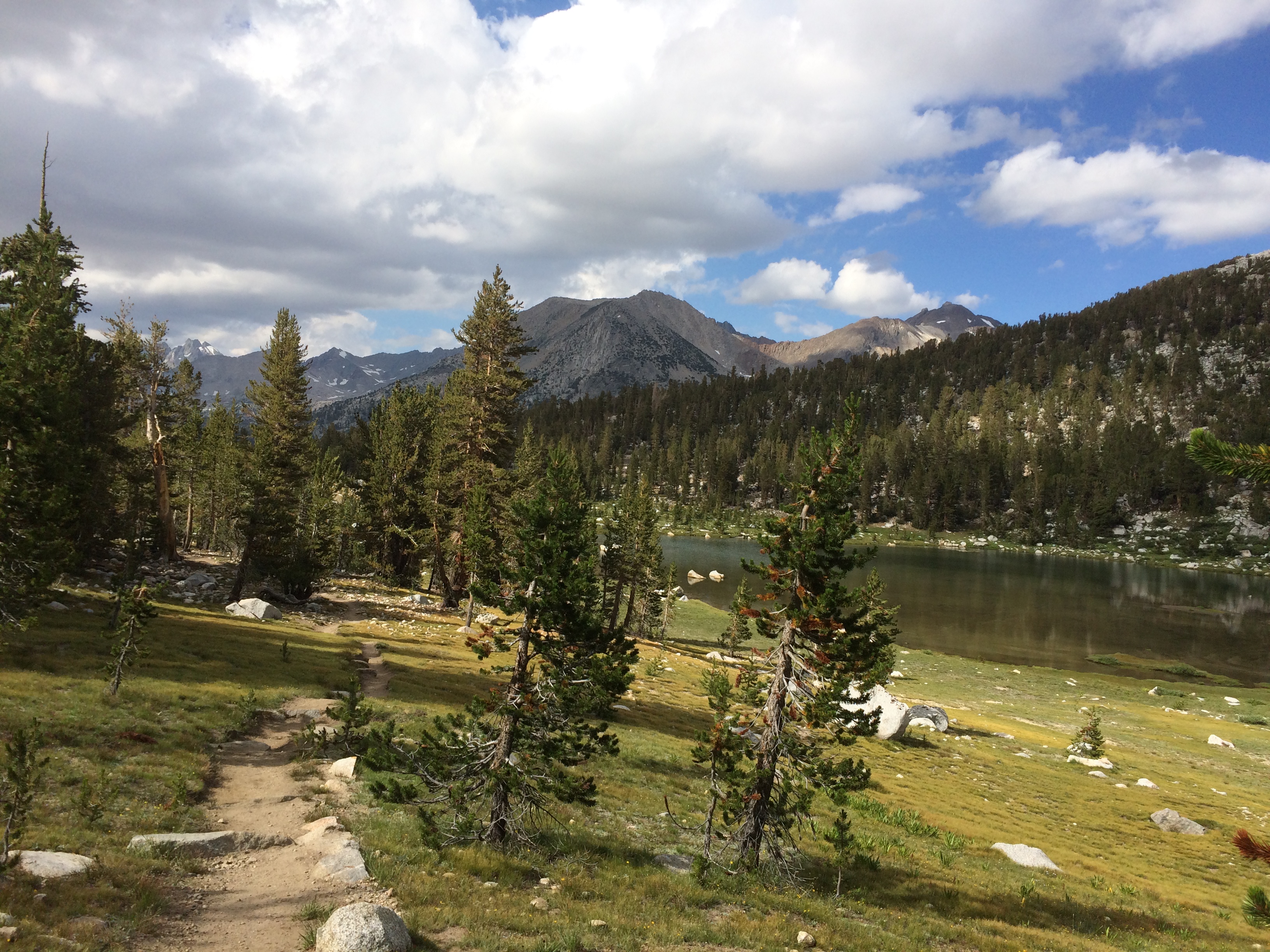
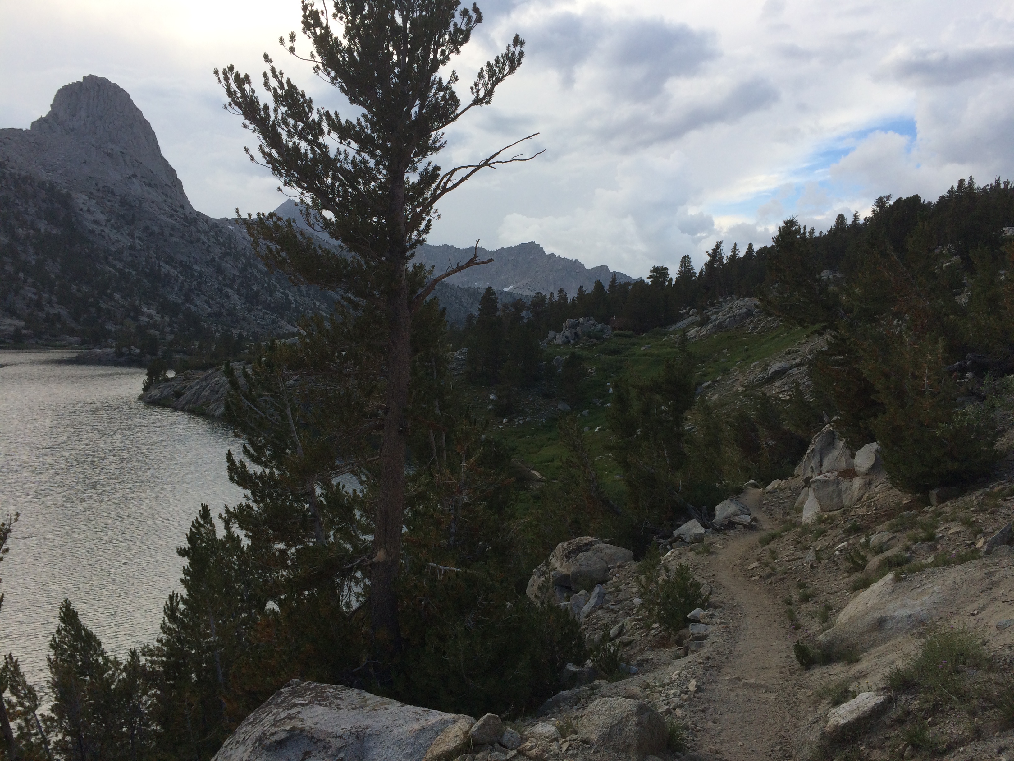
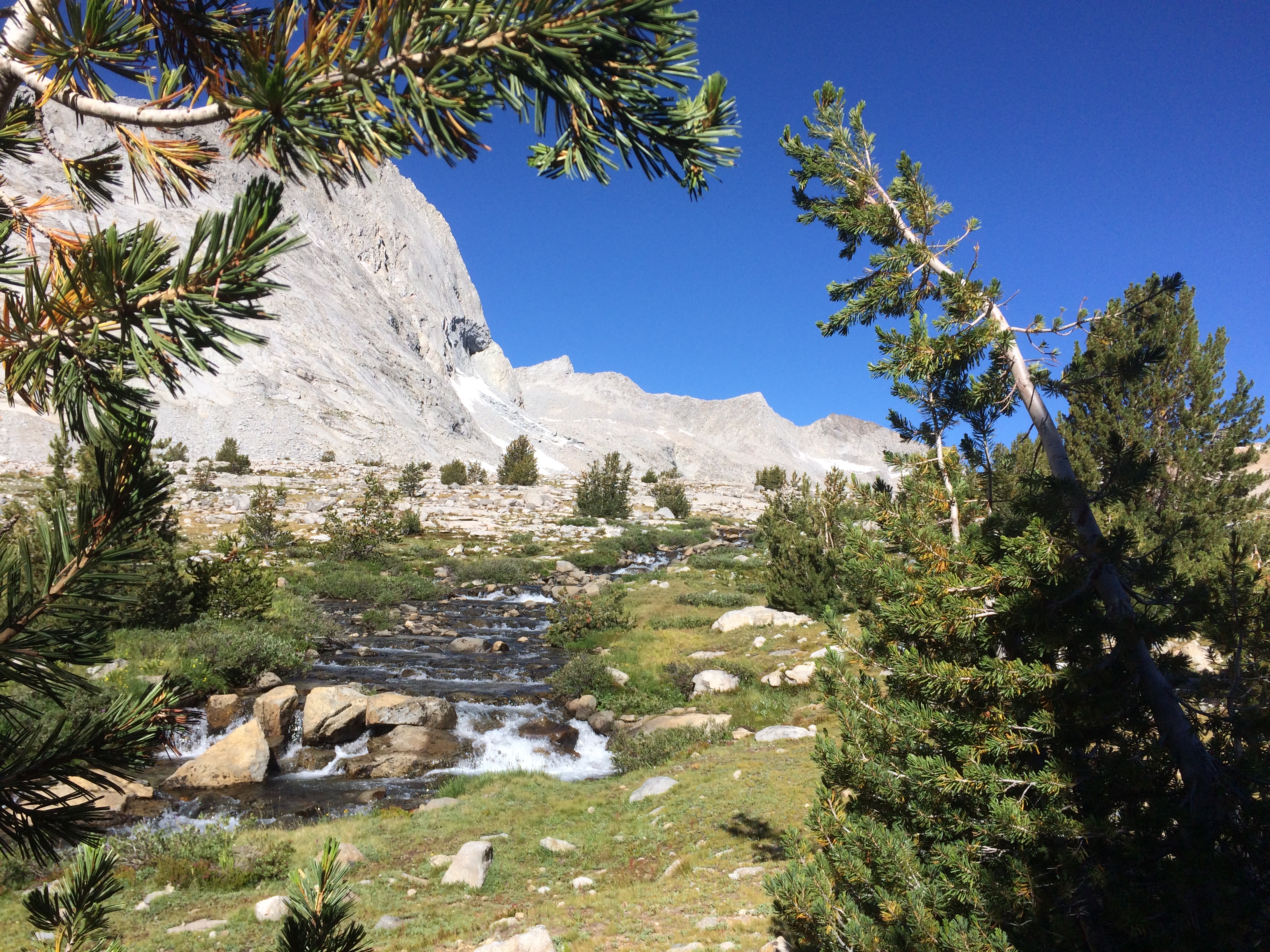
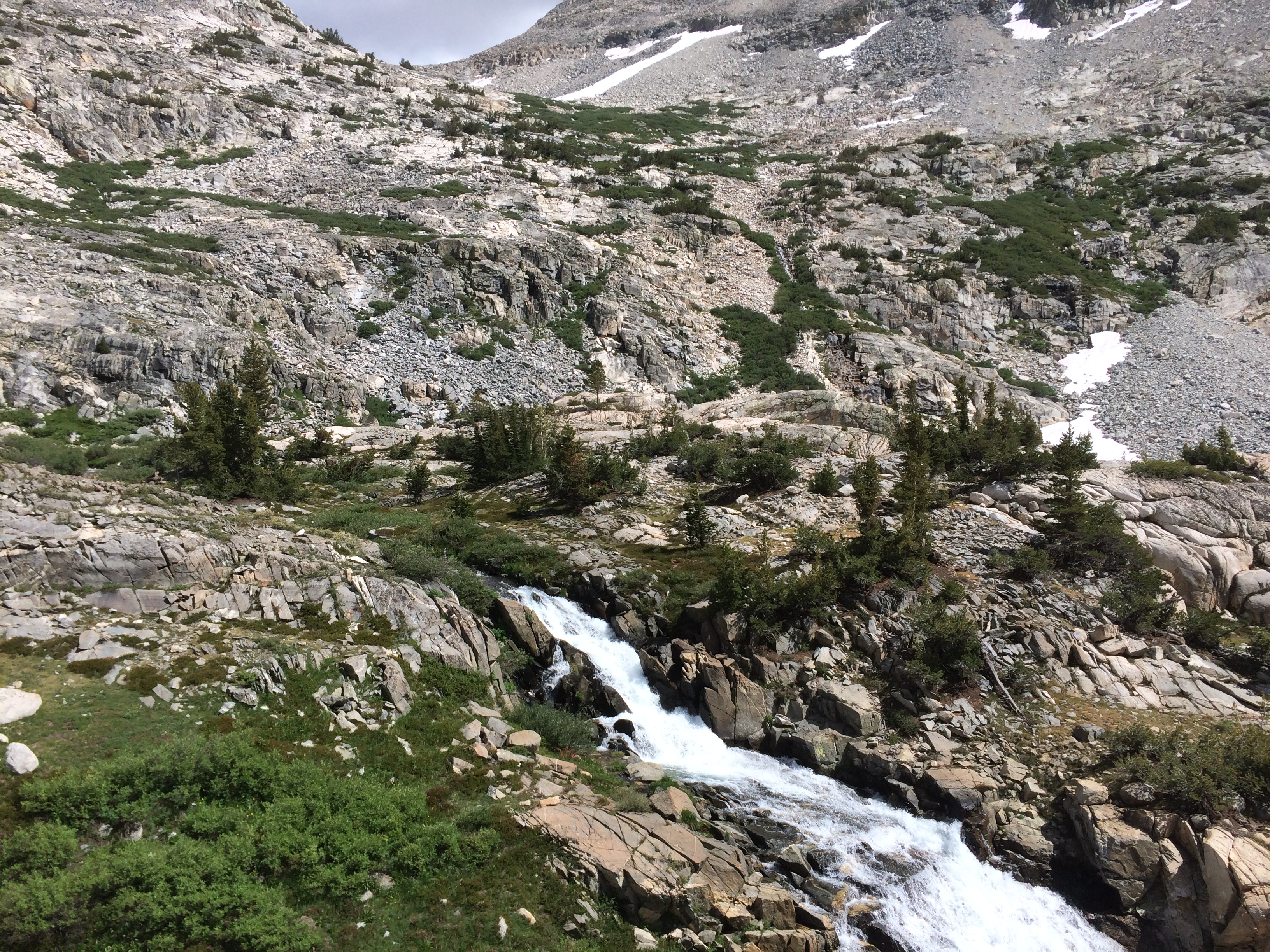
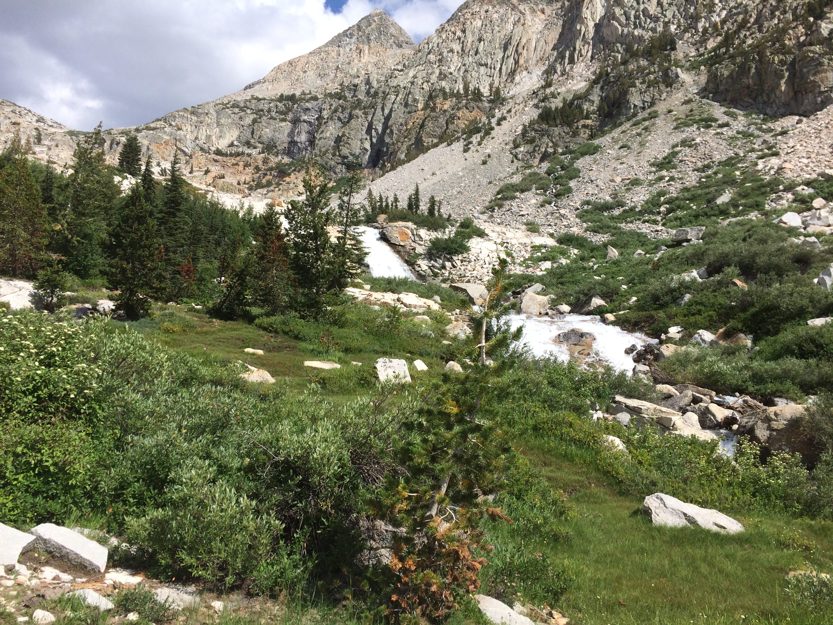
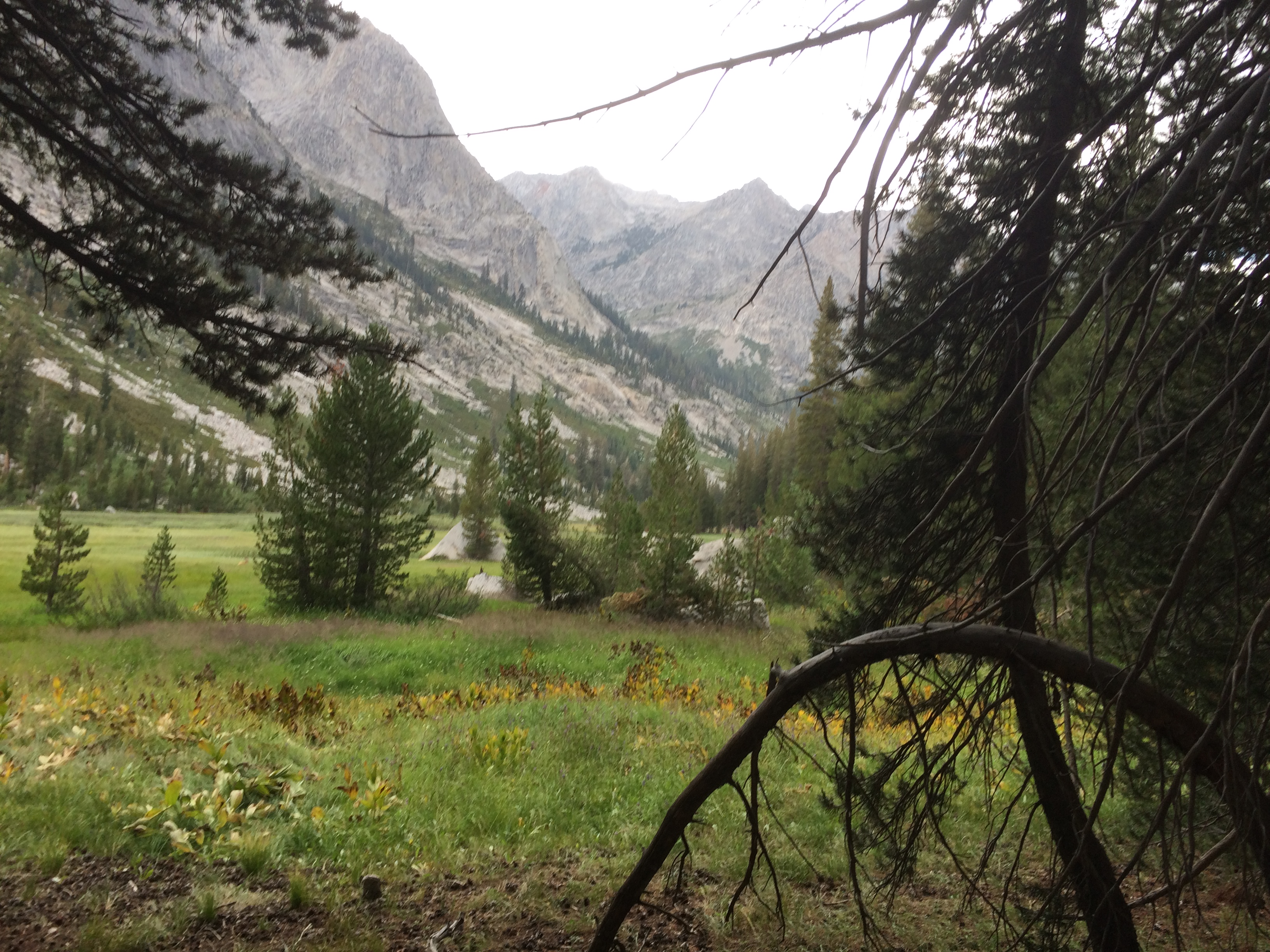
Rest of the hike was uneventful.  Greener and more water.   The descent eventually bottomed out at 8,000 feet.  

Looking Back Toward Lower Palisade Lake

The last 5 miles or so were flat and easy.   A couple miles before the campsite I had an unexpected encounter with some Southbound PCT’ers.    First was this German lady in her 50’s.    She was cruising and didn’t want to talk.   Then I ran into a gal I vaguely remember named Mayo with some JMT gal who was hanging with her.   Mayo said the German gal was rushing ahead to get a campsite before it was claimed by the JMT hoard.   She mentioned another PCTer was pulling up the rear.  

I walked on for a few minutes then I ran into Flame.    We were both so surprised we just did a spontaneous hug.    Last time I saw her was up North hiking a week with her Dad.    Now here she is again.  Apparently yesterday she lost her hat, so she is running around with a piece of the trail map tapped to her head to make a hat/visor.   Flame is always in character, always a little screwed up.   Either out of water, ripped shoes, or in this case…..missing her hat.    

We said our goodbyes and I rolled into a campsite next to the middle fork of the Kern.  There was a JMT’er named Roland already setup.   Soho showed up a few minutes later.    We setup next to Roland…not sure if he wanted us there but he gets what he gets.    Had a good chat with him later in the evening.   He is some kind of painting director for Disney’s theme parks.   Helps setup new features in the park with his last assignment being in China for 2 years.    Now he’s working on the Star Wars thing in Disneyland.   Disney is milking that Star Wars thing to the limit.  

Soho, as usual, got all concerned about Roland’s fire.   I could care less.   We are in a river valley and the ground is so wet that my ground sheet was soaked the next morning.    

View from the Campsite

Did 16 miles today and cleared another pass.   


Day 97 – Pinchot Pass (August 24, Mile 800-812)

Today is a light day, fortunately.    Yesterday worked me pretty hard.   Plan is to get over Pinchot and chill.   Since we hiked in late last night, I figured I should take a pic of where I ended up. 

You Are Here….

We camped next to a pedestrian suspension bridge over Woods Creek.   Walking over this thing was kind of interesting.   I just charged it at normal hiking pace.  The floor started bouncing higher and higher and toward the middle I was getting thrown around pretty good.   Hmm…time to slow down and hold on to the cables.    

 Other side of the bridge was climb time. 

Neat Water Slide…until you plunge to your death, etc

The trail followed a river on the way up.   That seems to be the theme with each of these passes.   Creek/River valley on the way up, then another on the way down.  

The creek crossings were a little sketchy.   For example: 

How good is your balance?

Looking back toward Glen Pass

Passed a final small lake, then it was just rocks and snow to the pass.

The only thing interesting after this was a game of guess where-the-pass-is.  

Is that it?
What about now?
Seems I’m heading to the right
So it is this one….

The pass is a little over 12k.   Took the require pics from the top and headed down. 

Bunch of Mountains

Getting down to some Alpine Meadows
Green it up
More Rock Hopping

I took my time on this climb up and down.   Did a couple long chow breaks and chatted up various hikers.   Found a loose group of youngsters hiking the JMT Northbound.   Andrew, Megan, and some other gal.   Figured I might see them again.

Rolled into the camp site around 5ish.   There were two sites.  One large one that could fit 10+ tents and another smaller one by the river.  

The big one had a single group of 10+ hiking couples all setup.  They had their tents scattered all over, had their bear cans around the fire pit, and a big clothes line up to dry stuff.   All the gals were in their tents and the guys were milling around trying dissuade newcomers from staying there.   

These guys were super douche bags.   Soho rolled up while I was talking to them and we both decided that we were going to stay their.   We found a spot they failed to scatter their crap on and setup.

Camping with the Clowns

They ignored us, but that’s when the fun started.   Turns out there was group of 10+ donkeys nearby.   I suspect they were carrying all these people’s crap around.   Well the pack leader let them wonder around the valley to graze so for most of the night donkeys were wandering around the camp eating.   Every once in a while the pack leader would ride by ringing a cow bell to move them away from camp.   That would set off a stamped of donkeys chasing after him.  

Soho and I spent the evening listening to some clown going on about the delicious dinner he was preparing for everyone while watching donkeys hoping they’d take a dump next to somebody’s tent.   After we turned in there was another cowbell/stamped around 10.   Scared the crap out of me.   Heard some gal complaining to her BF about it, so that was satisfying.  

Just 12 miles today.  Got some work to do tomorrow.  

Day 96 – Two Passes (August 23, Mile 788-800

Soho and I planned a big day today.   But first we needed to eat a couple excellent breakfast burritos that the manager offered to cook for us in the morning.   He is a trained chef who, for various reasons, is helping his Mom run the place for a time.   The burritos are worth the wait.   

Filled up at 8, we walked over to the road leading up the Onion Valley trailhead.    This is the one we popped out of a couple days ago.   Unfortunately it is a ~15 mile ride up there.   It is a dead end road, so we figured it was going to be a long wait.   We setup under a tree and waited.   Turns out a local saw us walking down the street, so he finished up his coffee, jumped in his SUV and drove over to offer us a ride.   

He was a really great guy.   He’s a construction consultant doing some gig in Independence.   Wouldn’t accept money for gas.  He just wanted to know our story.   Took an hour out of his day to do this.  Total kindness.  

So it was back to work around 9ish.    First we had to do 8 miles to get back to the trail up over Kearsarge pass again (around 11k), then up and over Glen pass (~12k), then back down to a decent camping spot.   It is going to be a big day 20 miles and 5k+ of ascending.  

Back to work
The climb begins
Cool Lake Halfway up. Popular spot for Day Hikers

On the way up I met an Australian couple who was doing a day hike with their toddler.   The guy was hauling the kid in kiddie backpack contraption.   They were all gungho to get to the top.   They passed me after the lake heading toward the heavens.  

Above the tree line….boring

When I reached the top, Soho was up there having a snack with some other hikers.  The Aussies made it.   Their toddler was wondering around trying to fall off the rocks.   He had a cookie in his hand that he kept dropping in the dirt.   Soon it was poopie diaper time.

Poopie Diaper change at 11,000 feet

 After that entertainment, I hit the trail for the next couple miles to intersect the PCT.    Easy stuff.   Ran into a couple of pack trains coming out of a resupply stops.    Talked to one of the leaders for a bit.   He’s been doing this for years.   Apparently many of the JMT’ers don’t want to do the work of hiking out Kearsarge, so they buy a service that packs their food resupply in to meet them on the trail.  Costs $400 per person, but gets cheaper with larger groups.   I don’t think PCT’ers bother with this stuff.   

Feeding Lazy JMT Hikers

Back on the trail again, it was time to mount the assault on Glenn.   

I can clock PCT miles again

The approach to Glen turned out to be meh.   Not very interesting.  Fortunately it was only a 1300 foot climb from the intersection. 

Meh
Sad little Alpine Pond

Here you can see a couple of hikers on the pass.   There was a small snow field to climb, but it wasn’t too bad. 

The Pass
Looking back over the barren Rocky wasteland
Almost there

Got over this thing around 4:30.   Soho was up there milling around.   Fortunately, the other side was the much more scenic Rae lakes.  

Upper Rae Lakes
On the Way Down
Forest friends – Upper right

Ran into a few folks fishing the lake.   They all said they fish were hitting.    At 10k though, they were the size of a big sardine.   Not much fight in a sardine.    

Smooth as Glass

Each lake had outlets that fed the other below it.   The trail followed these outlets all the way down.   

Water for the next Lake

Eventually the trail jumped into another canyon which was populated by a bunch of small stream crossings.   It was getting late but still had another 4 miles to get to the camp site.  I put on the headlamp and stumbled through the darkness until 10:30.   Tent up, choked down some food, and crashed.  

Last pic before dark

It was a hard day.   We figured around 20 miles total with the Kearsarge bit + the trail miles, only 12 were PCT miles.    Maybe next time I’ll hire the donkeys.