7/25 Mile 2206 – 2231

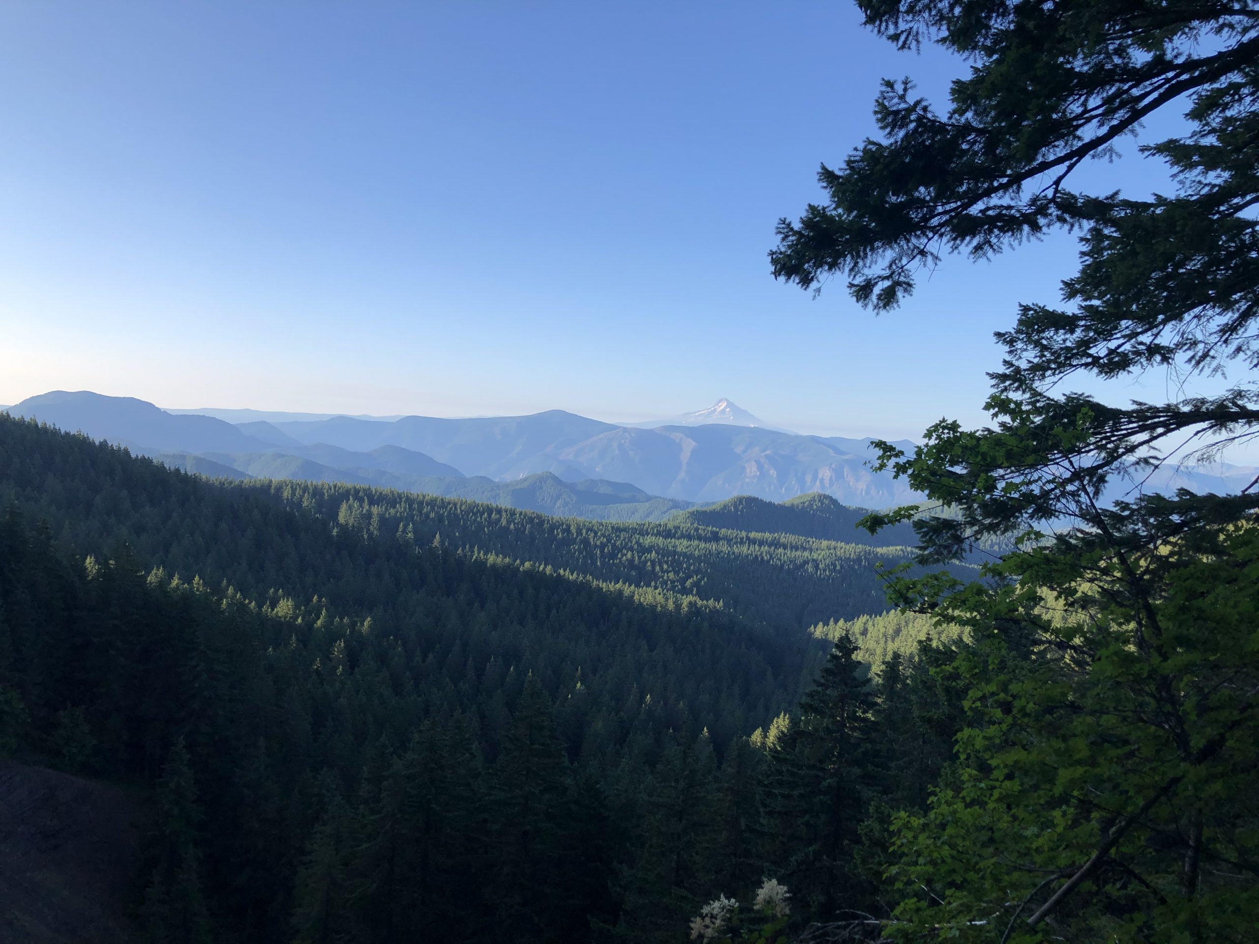
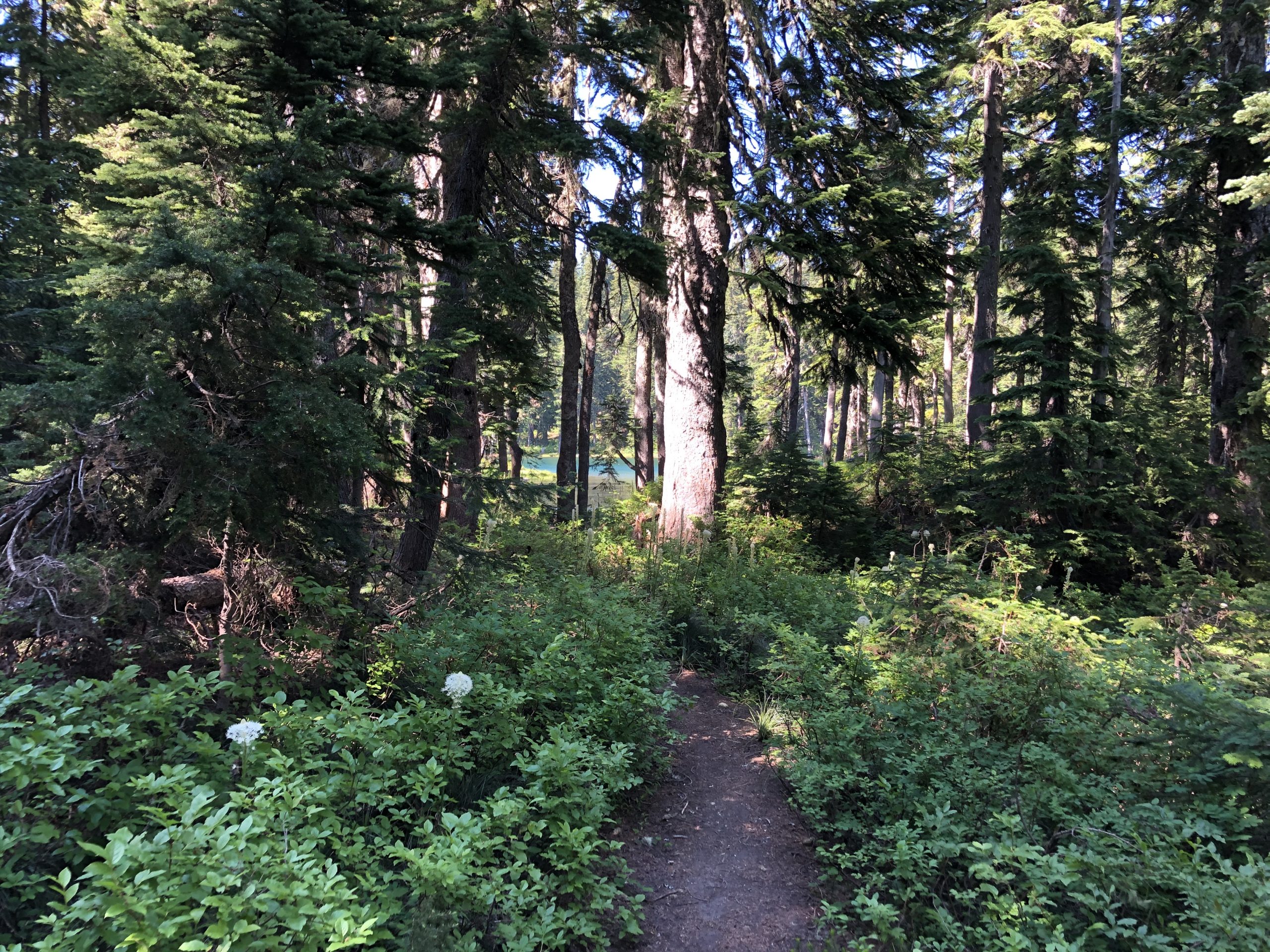
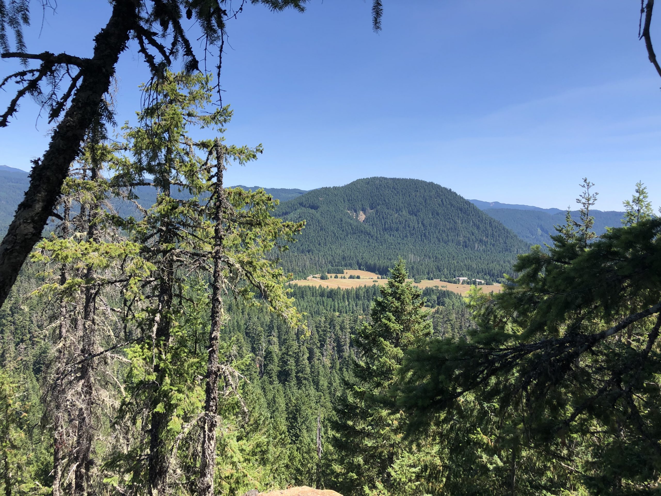
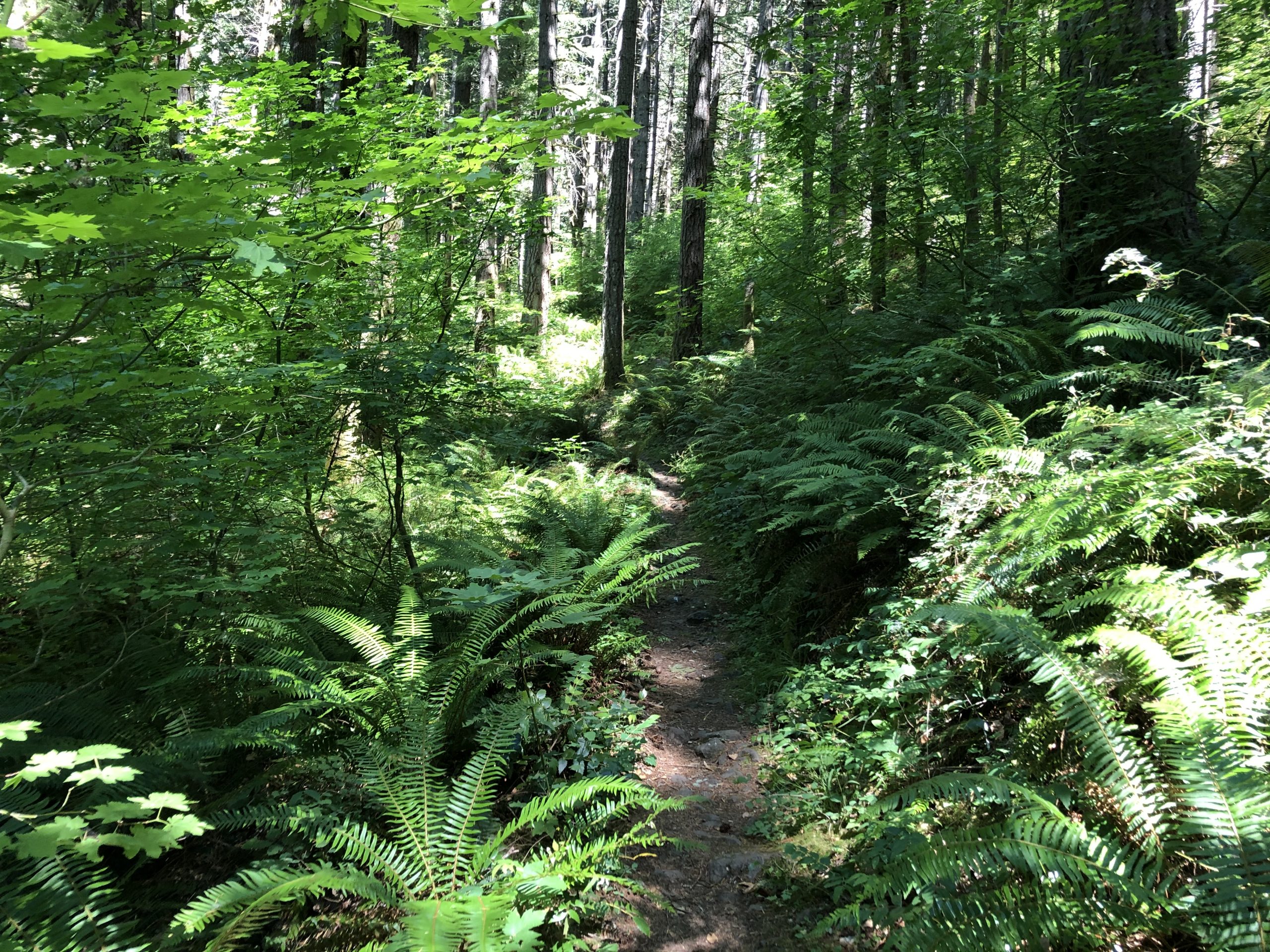
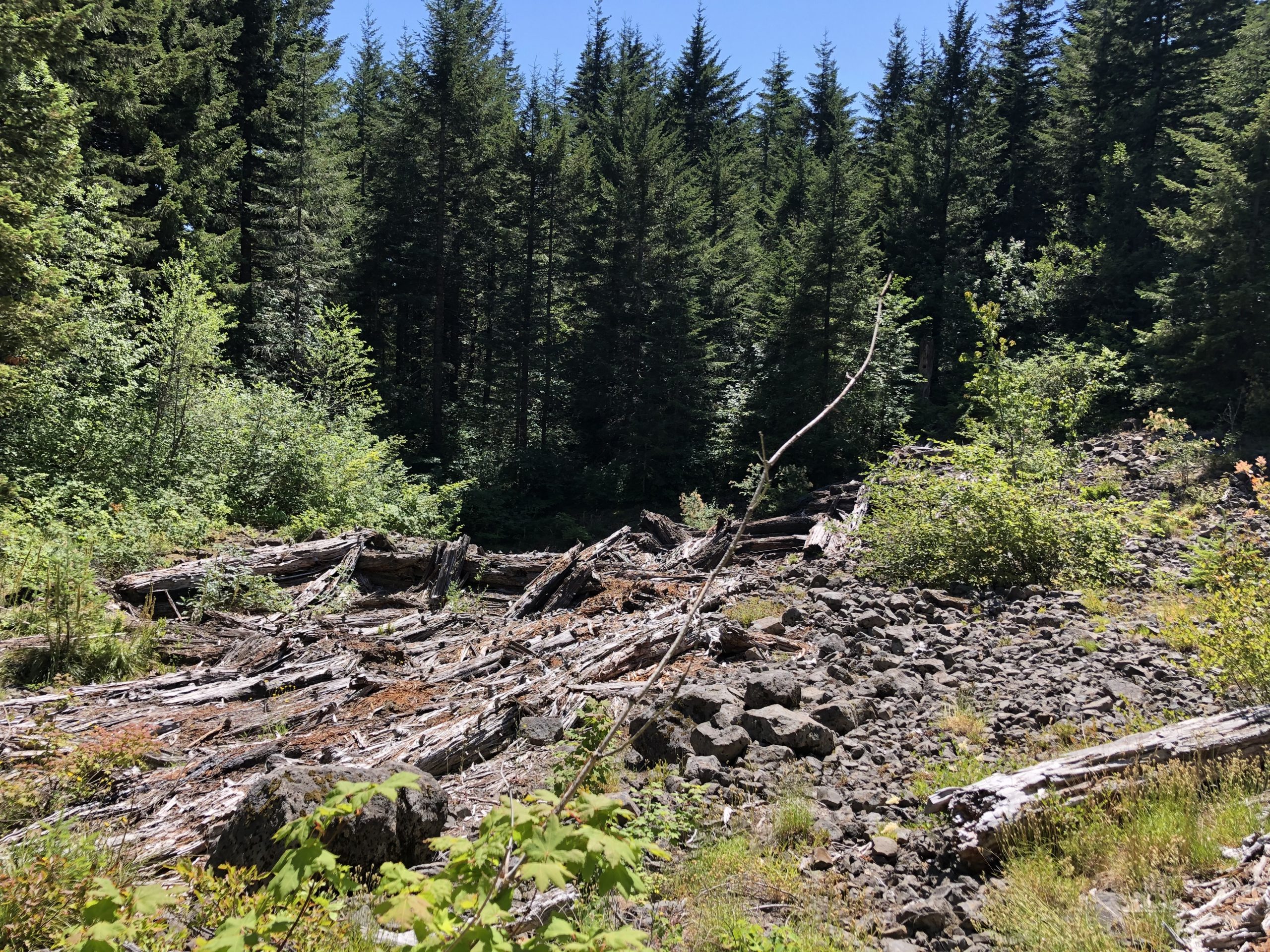
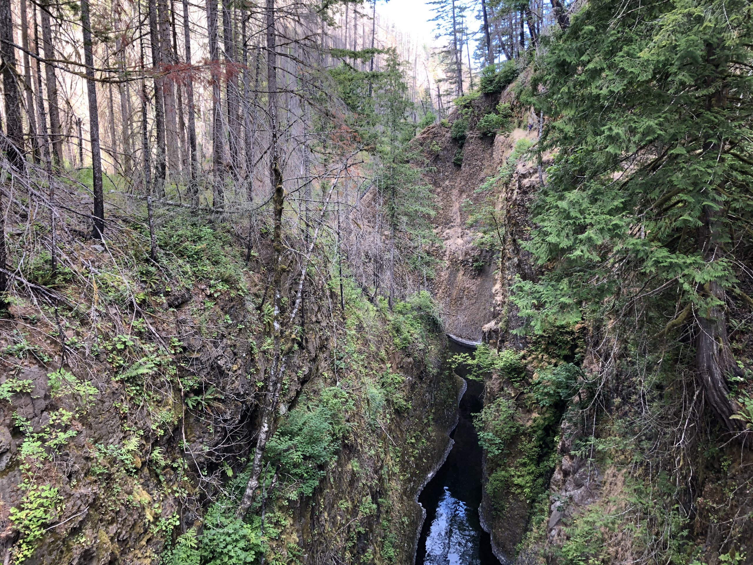
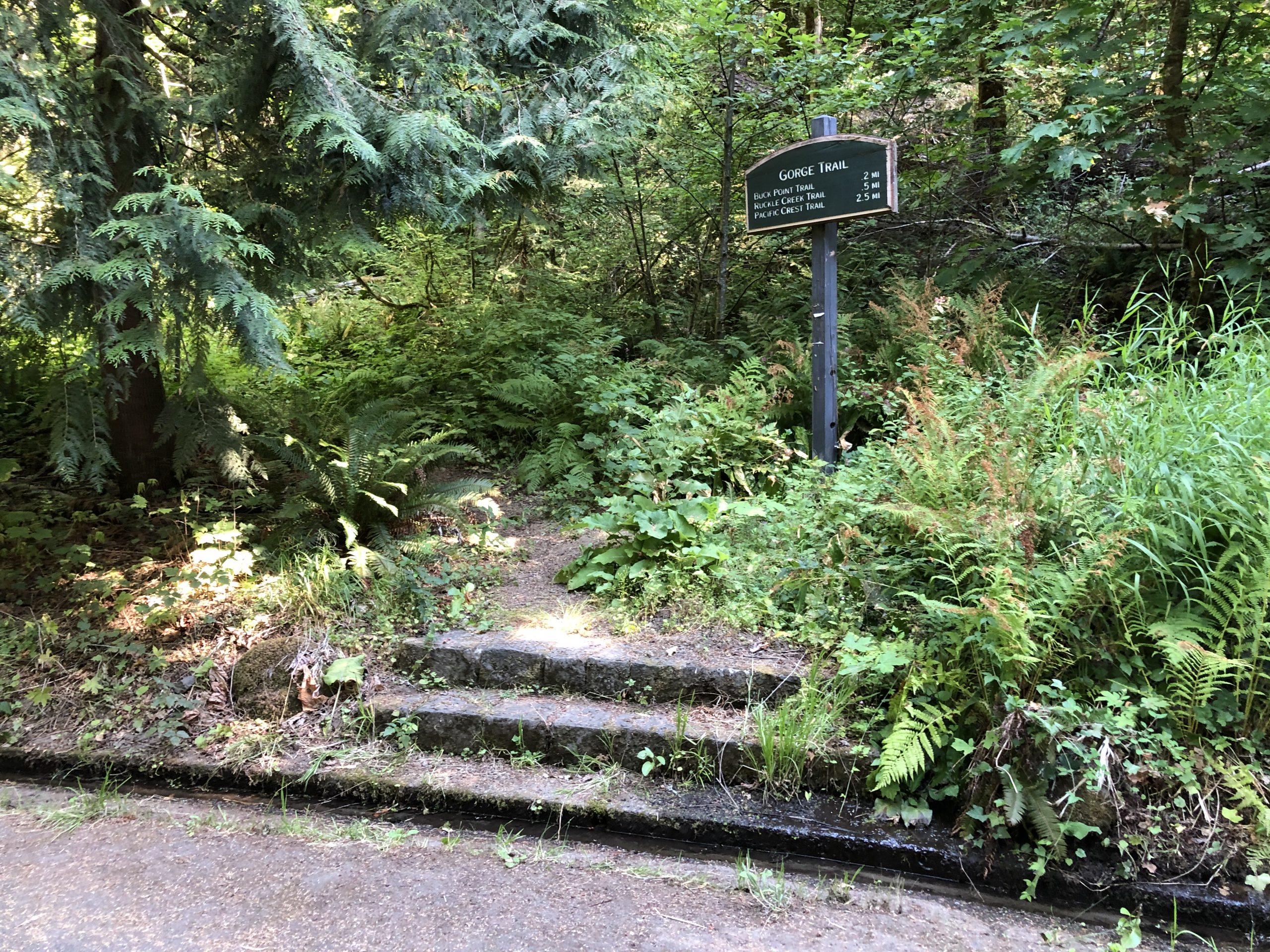
Up and out at a little after 6. Bye bye Blue. I did my usual pre-breakfast morning hike. Fortunately, I crossed a large area of the forest which was burned which gave me an hour of bug-free bliss. Surprising how little of Washington is burned compared to Oregon. There seems to be a lot more moisture up here.

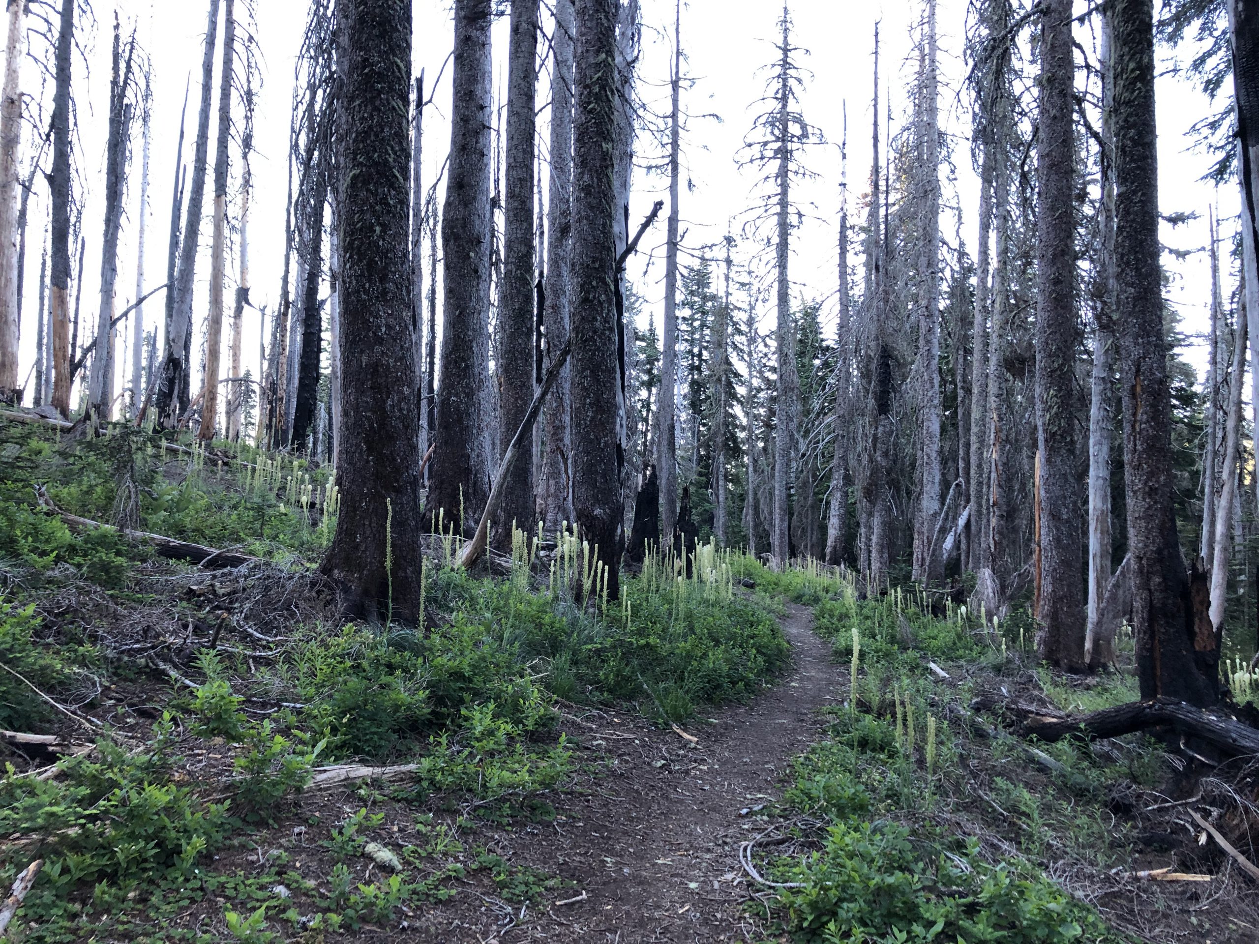
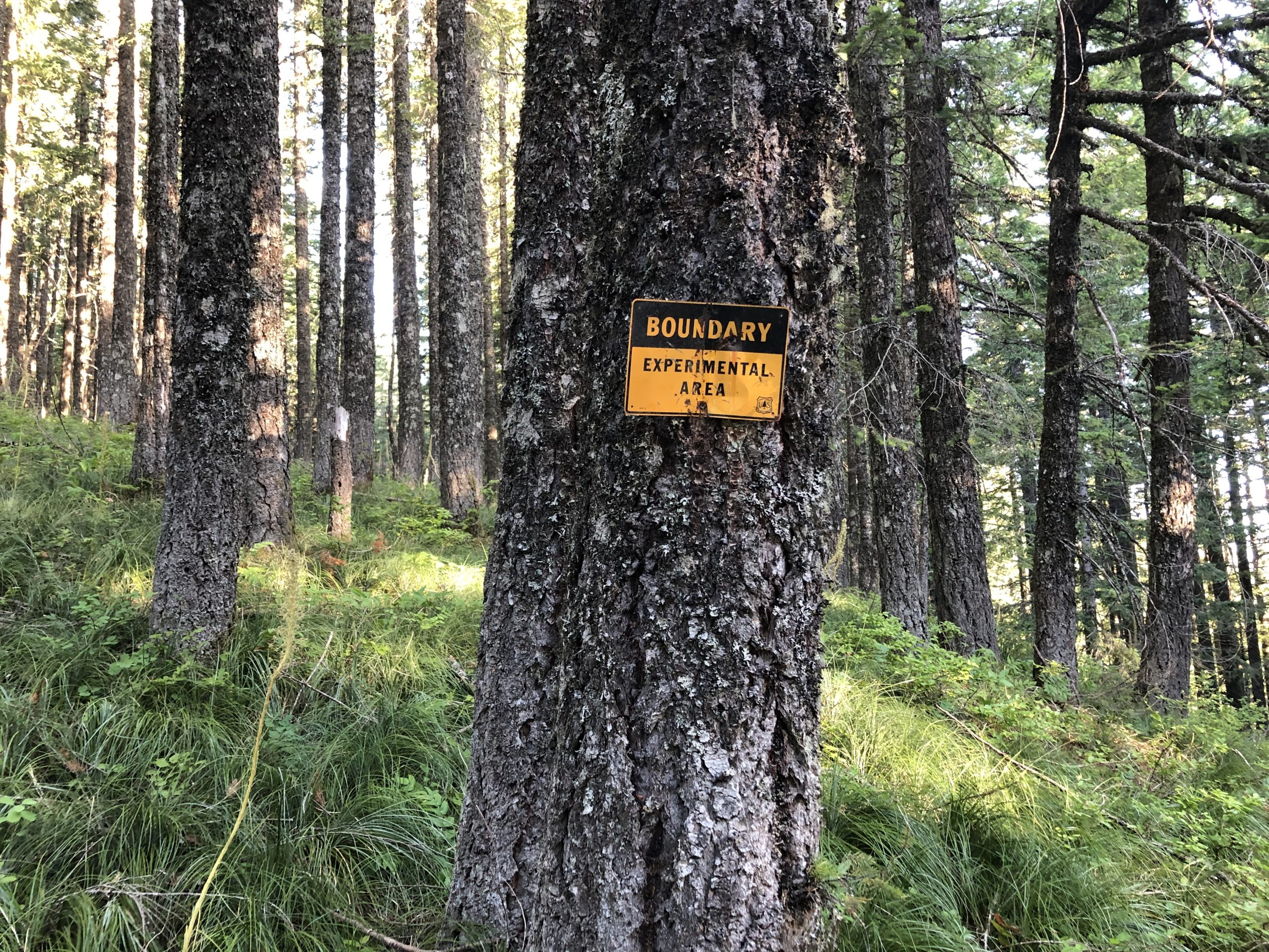
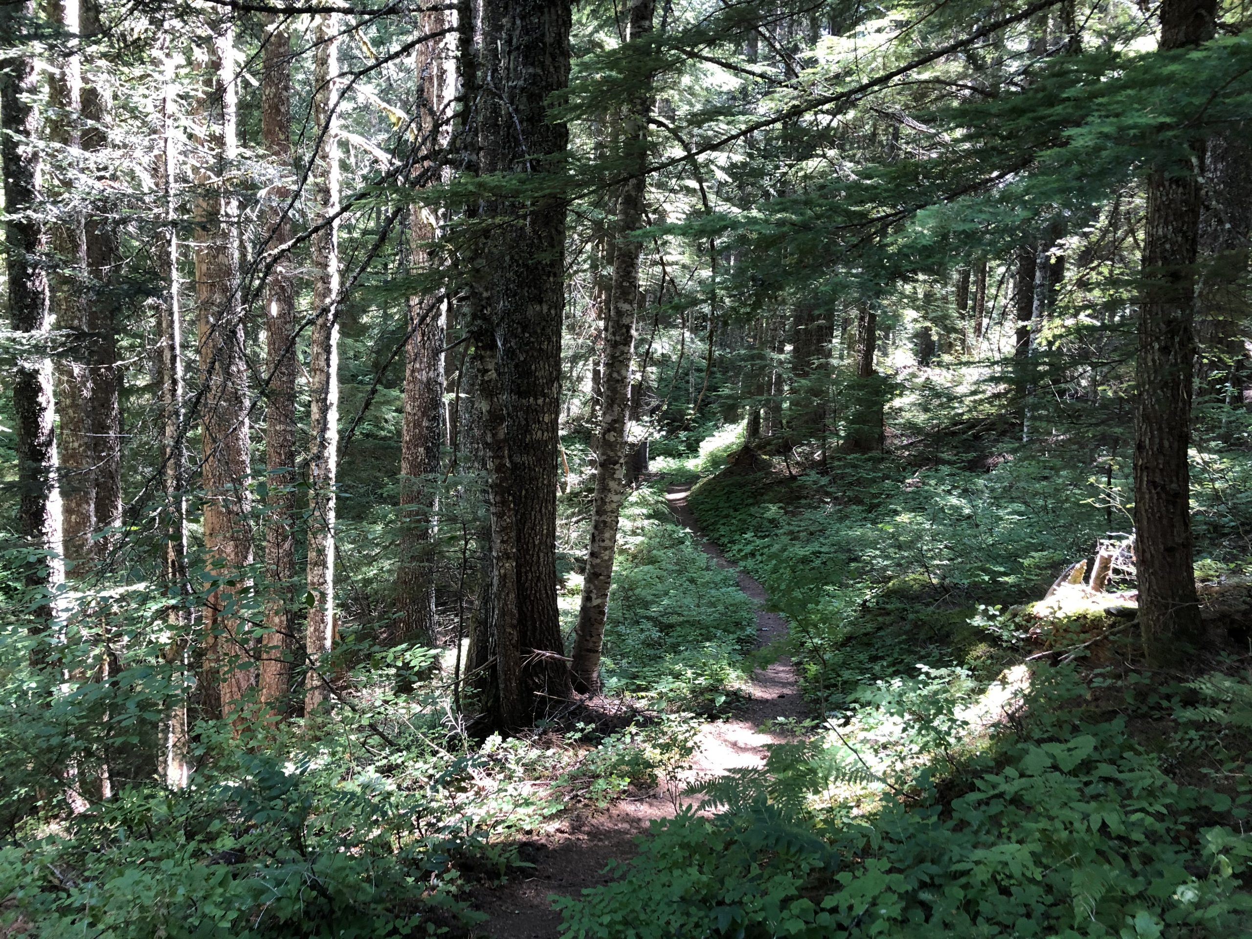
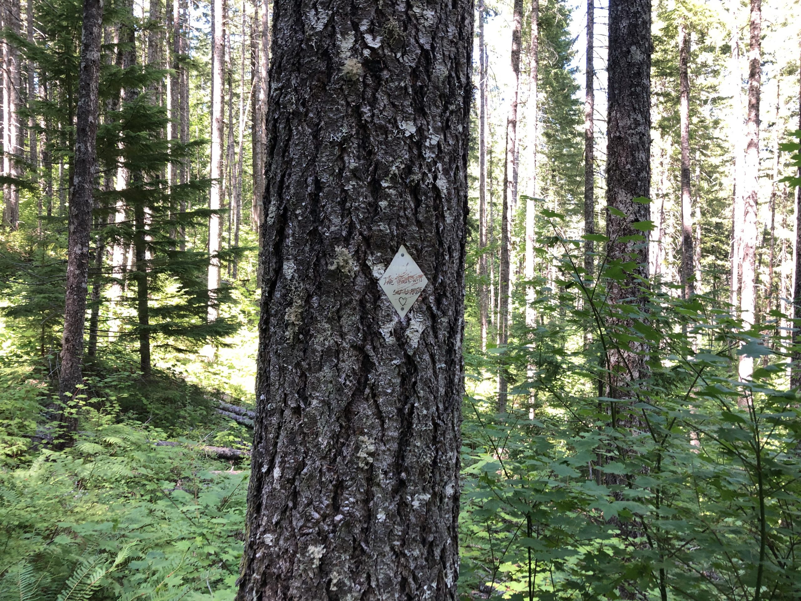
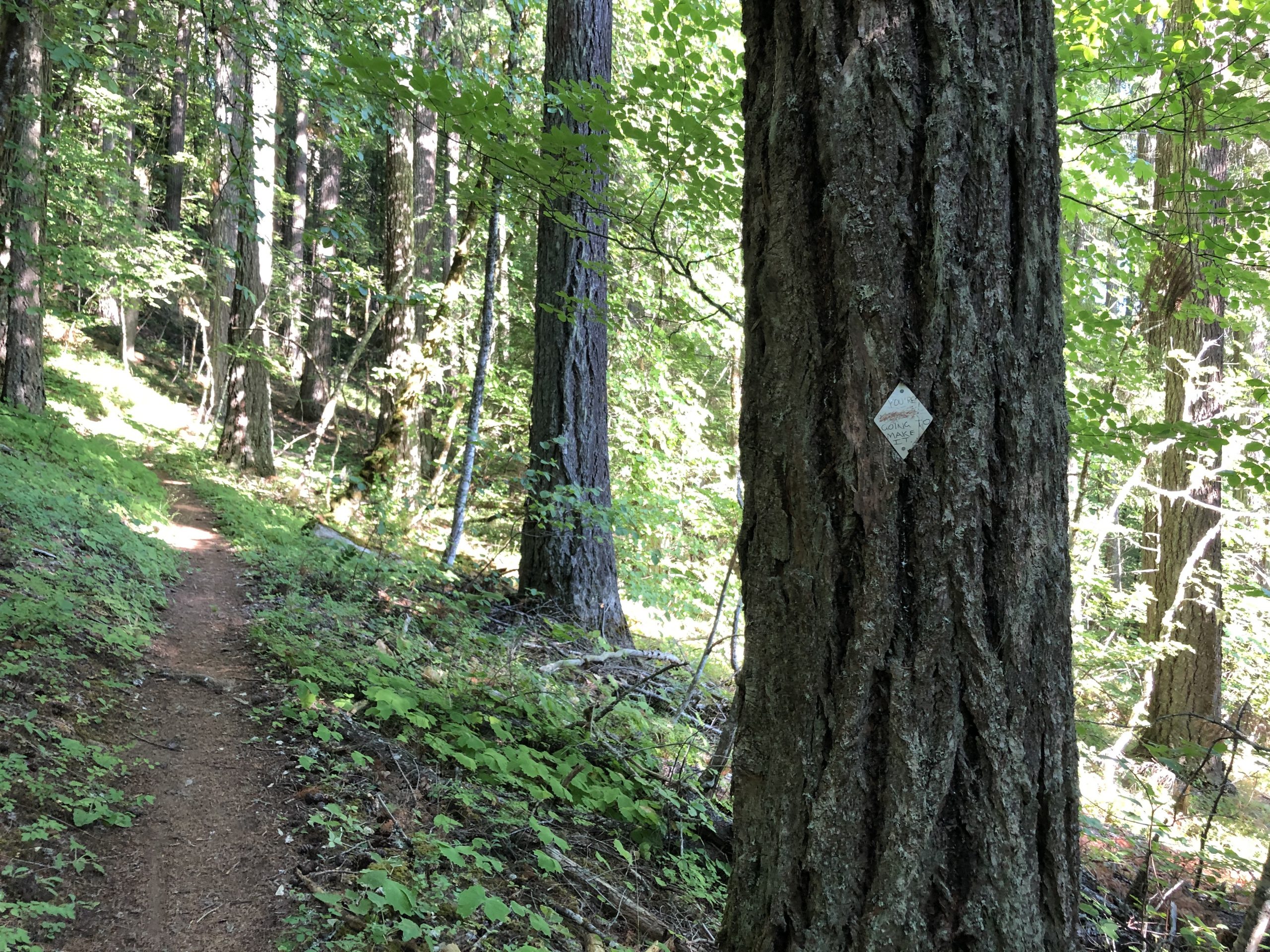
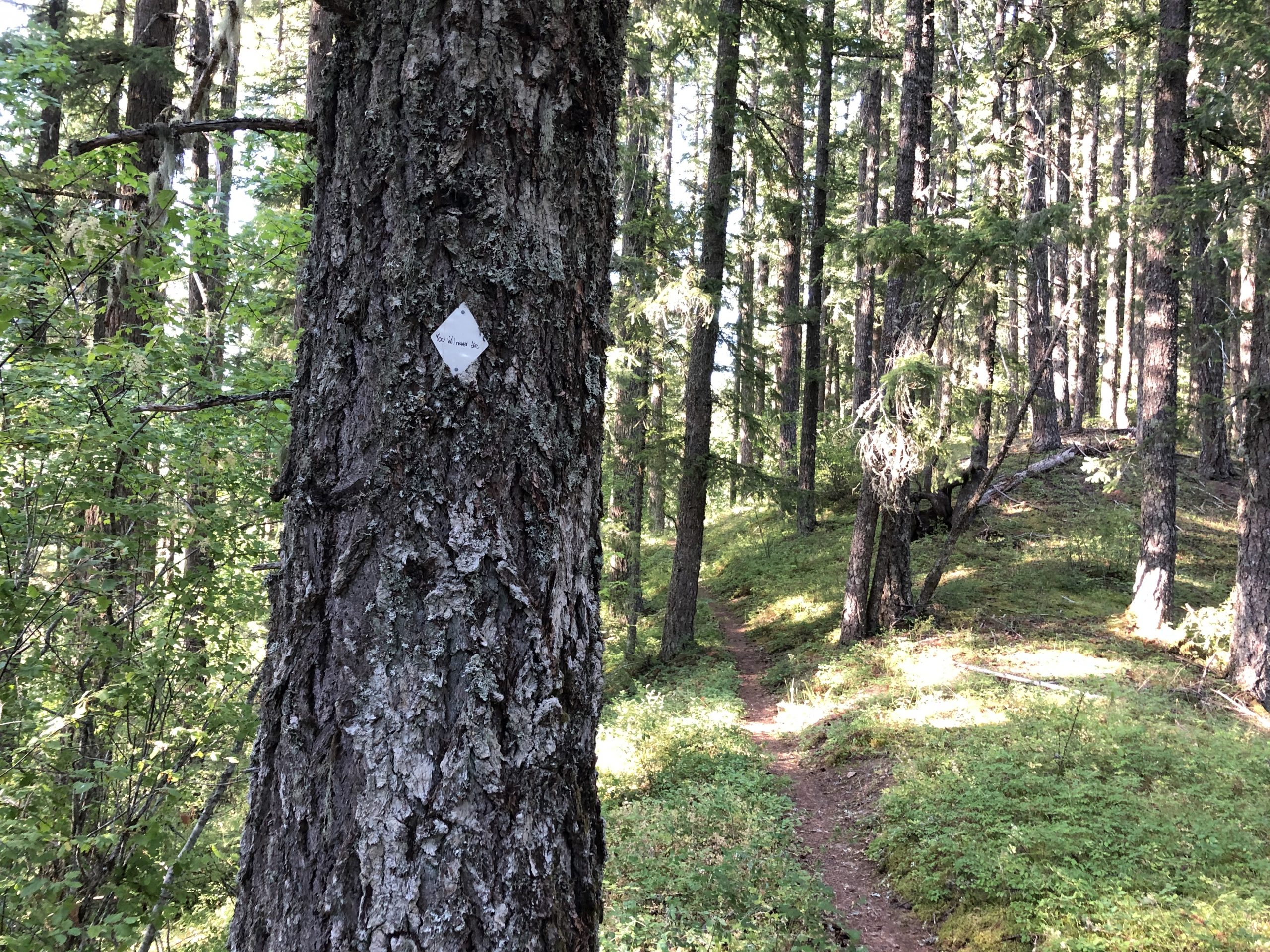
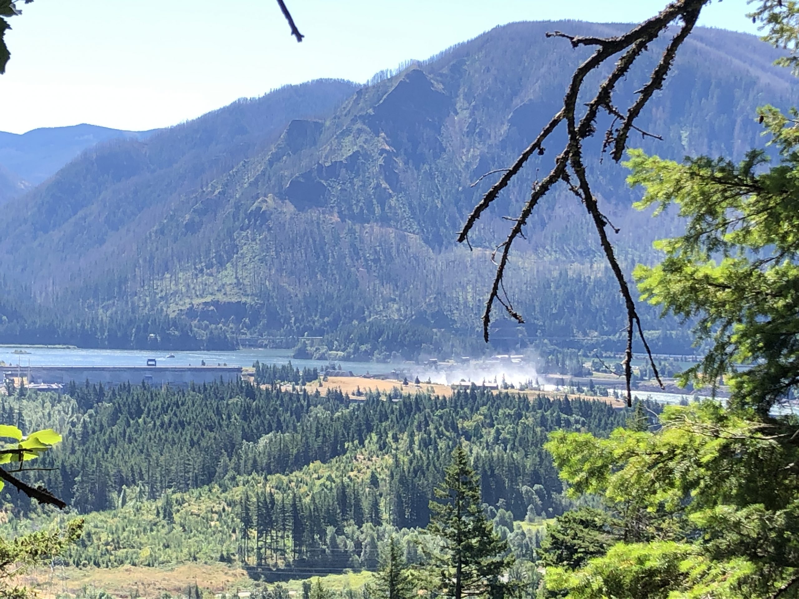
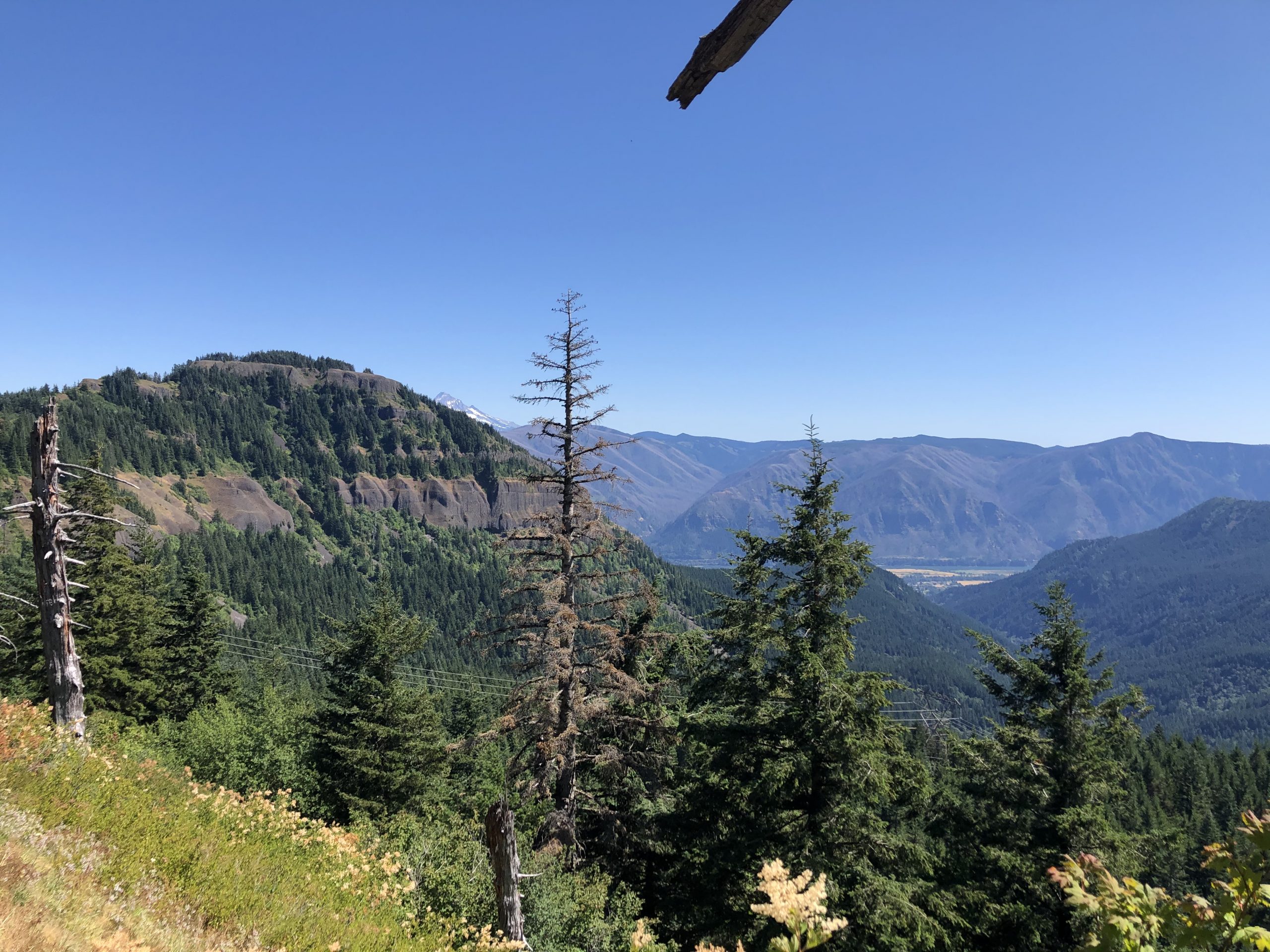
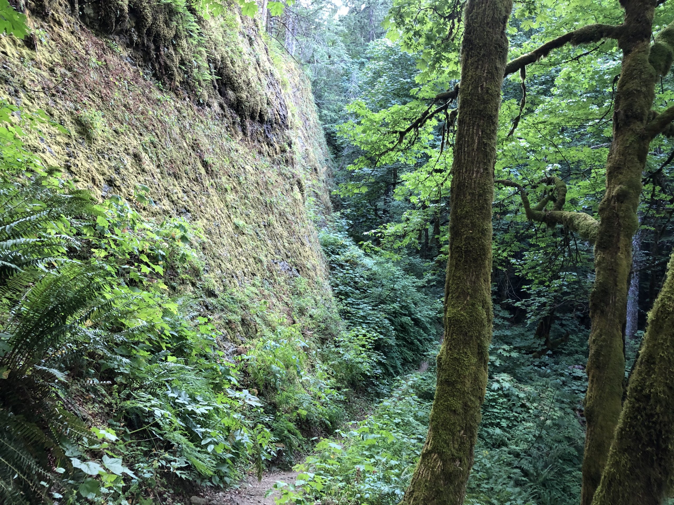
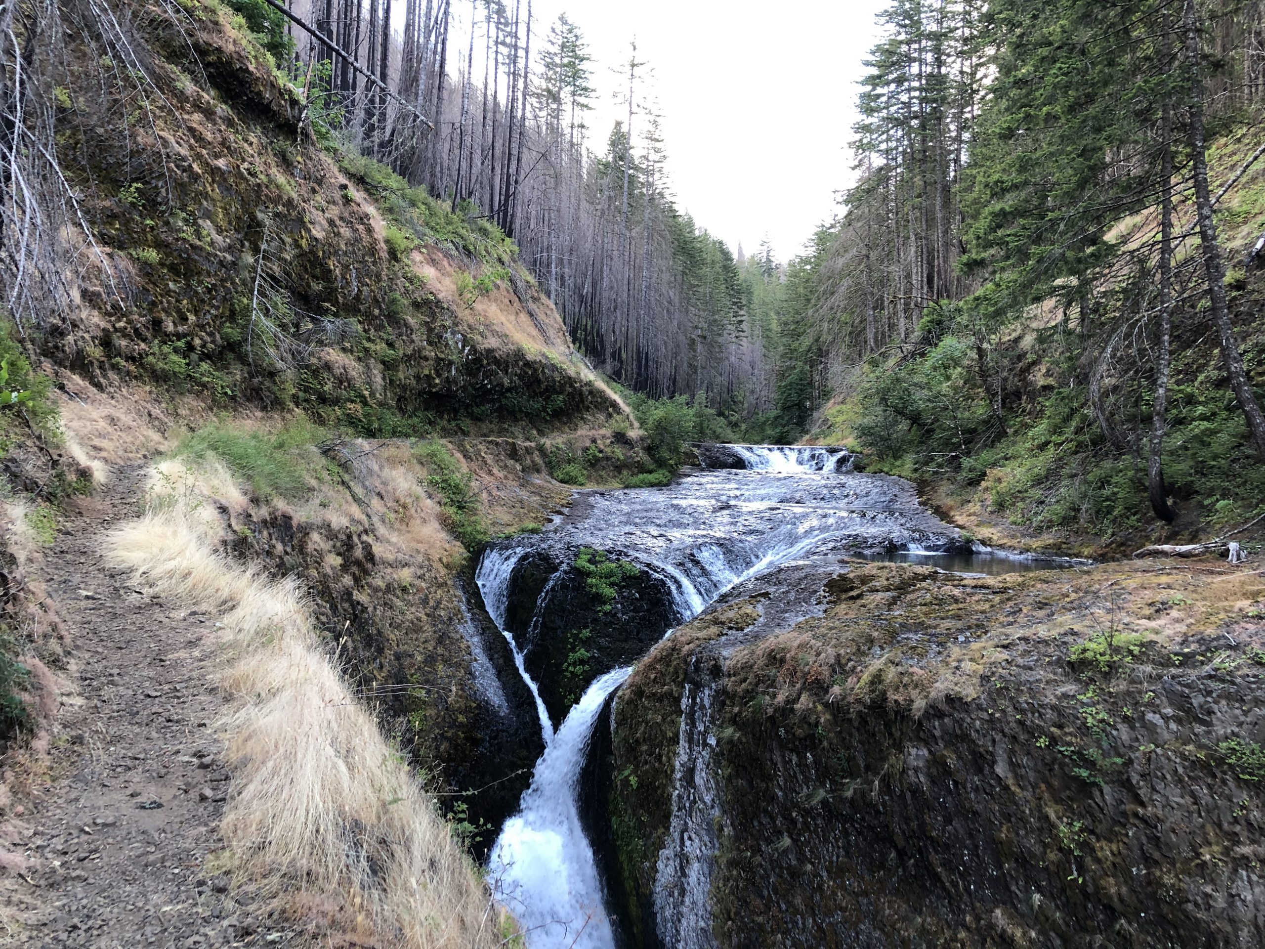
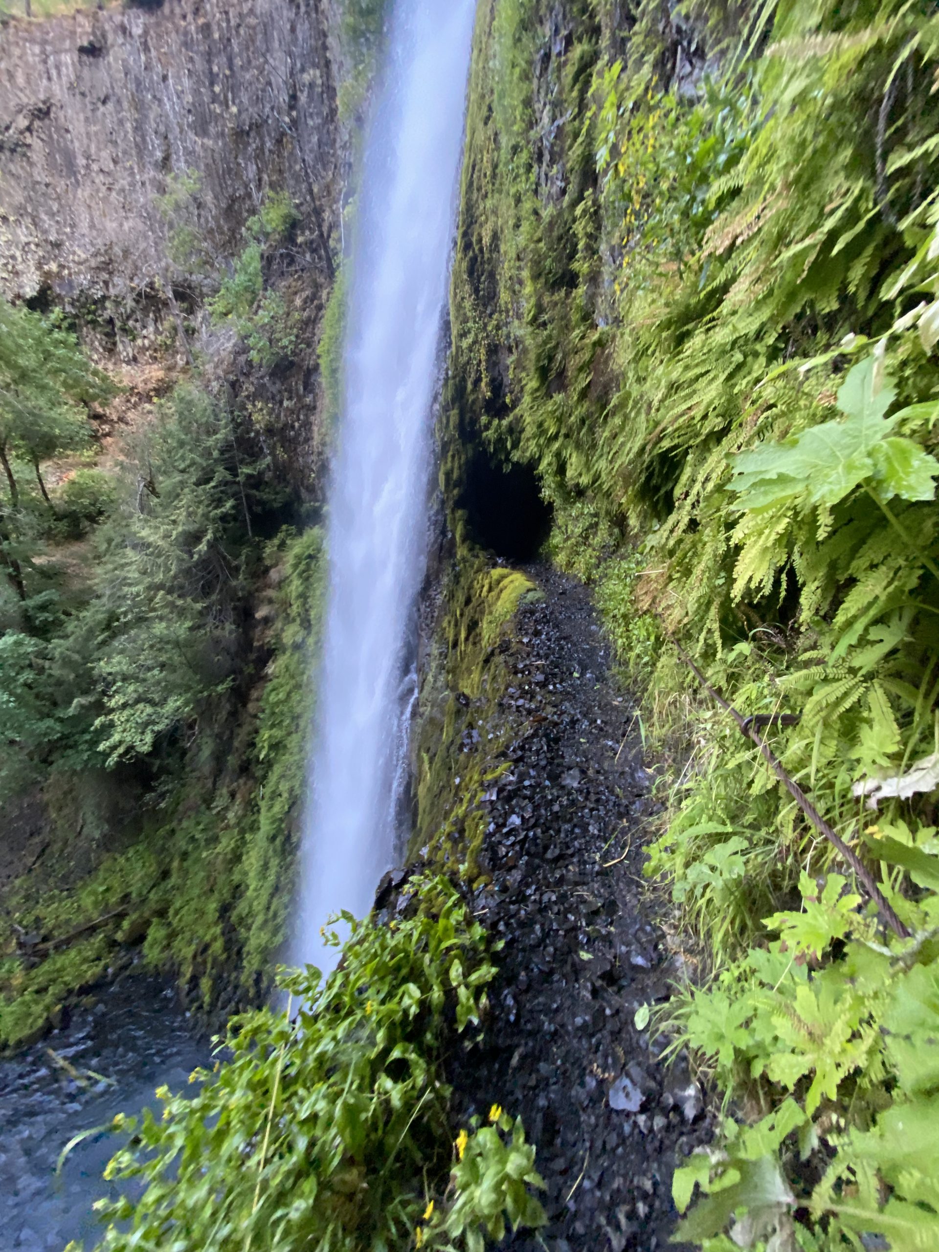
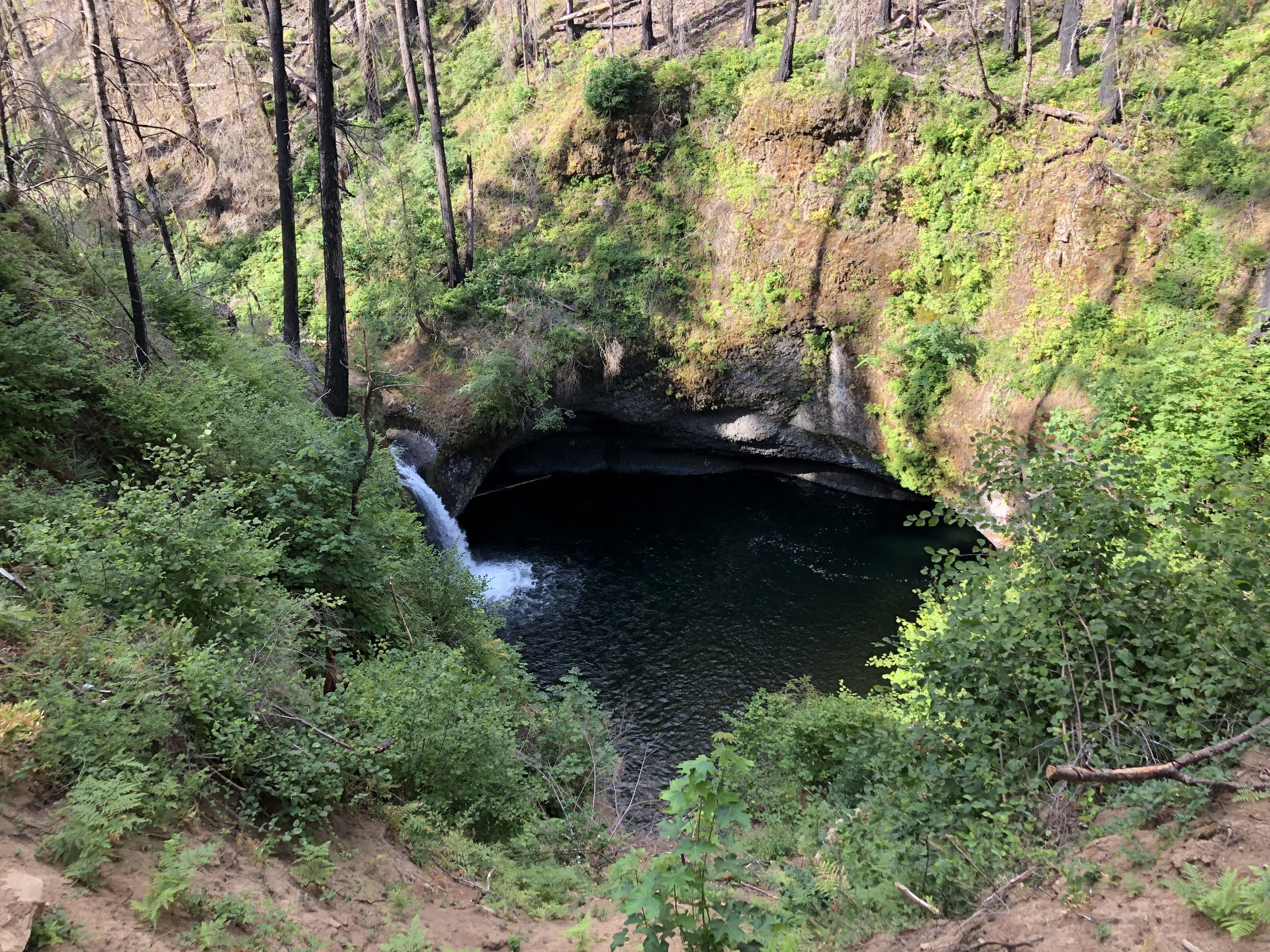
Then the burned area turned back into old-growth forest. Then I get some of these

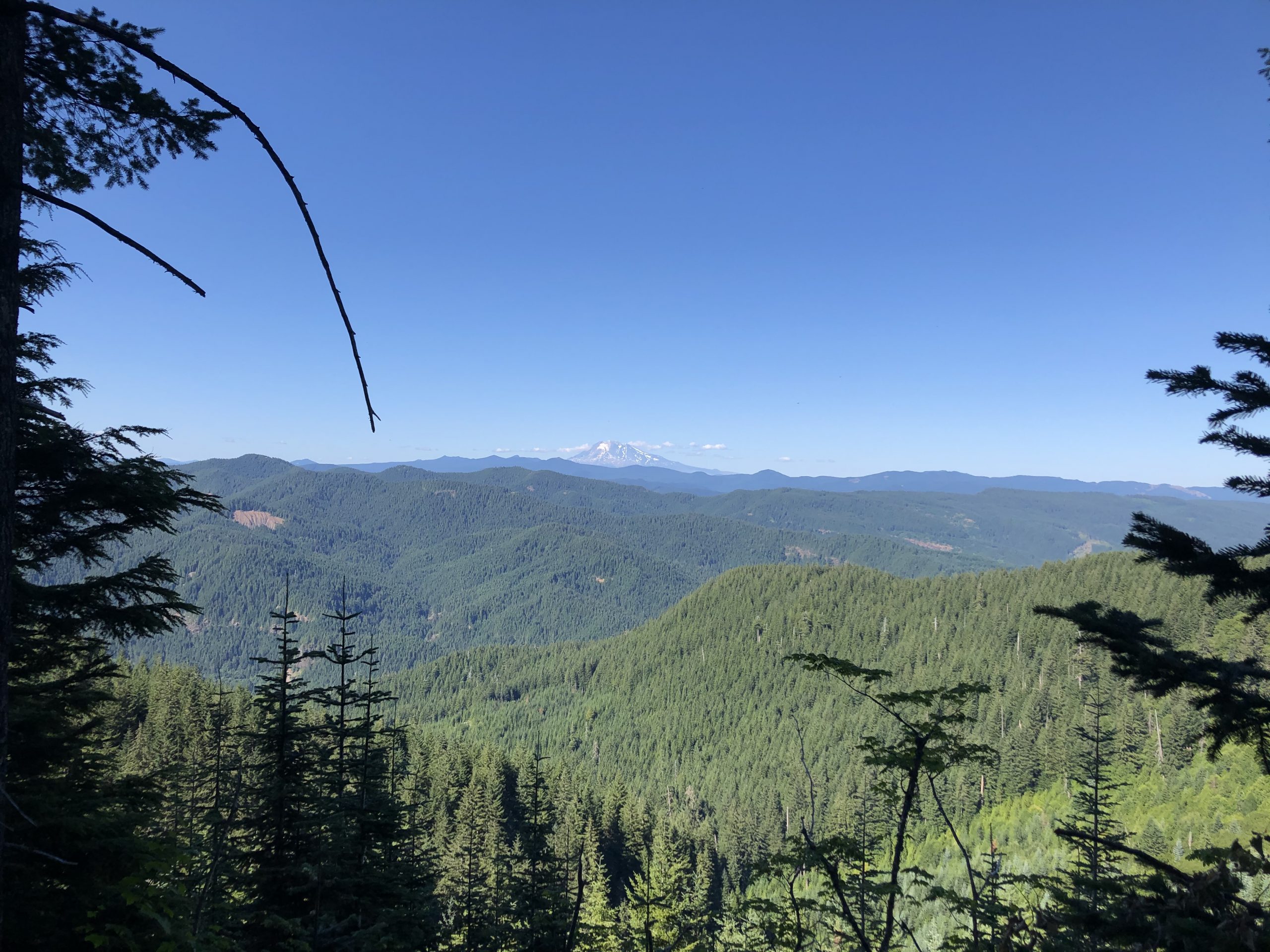
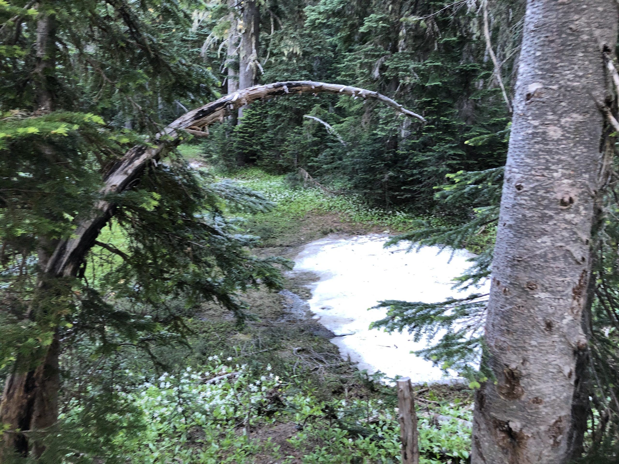
Then a few snow blobs

My First Washington Snow Blob !

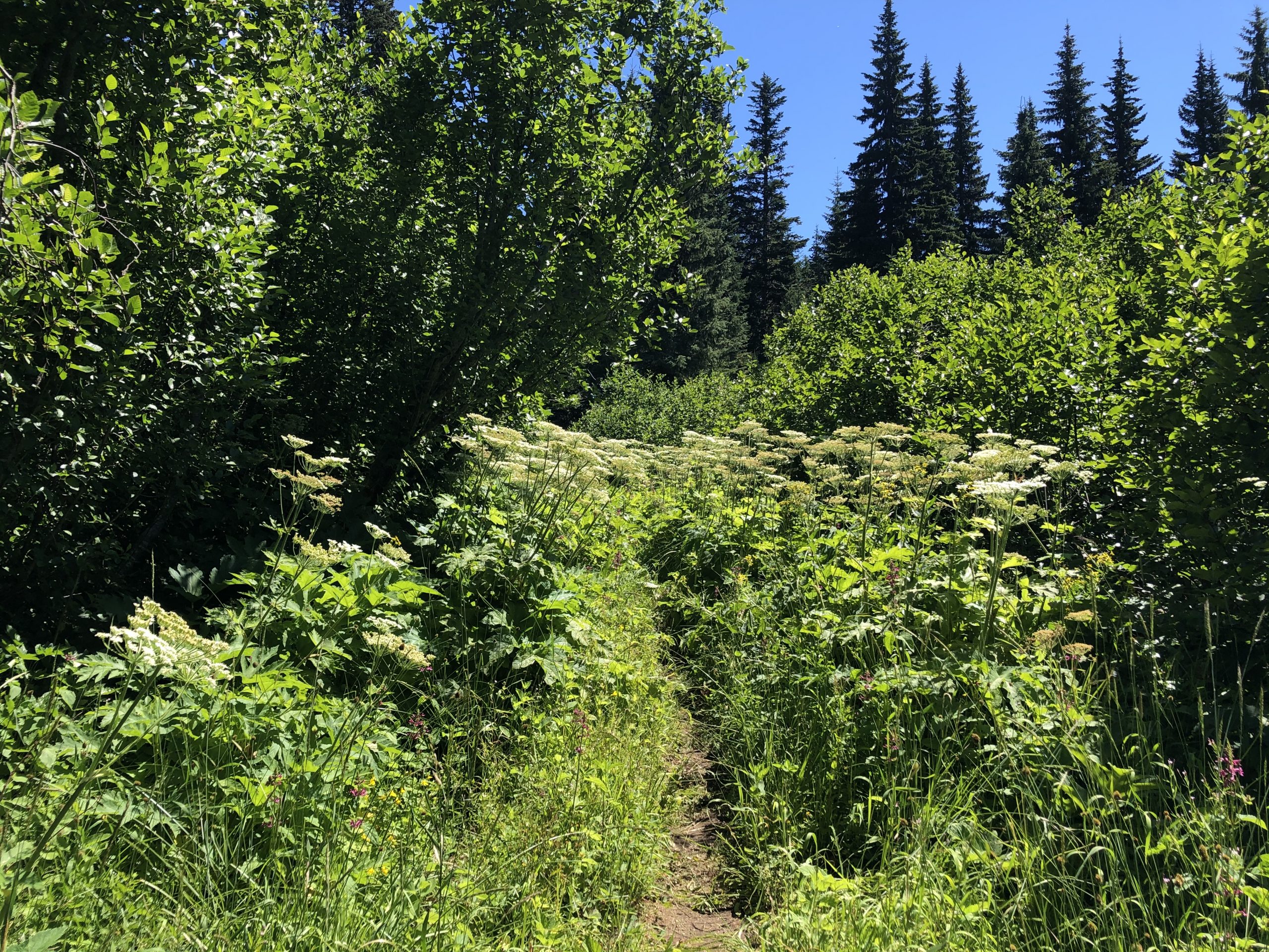
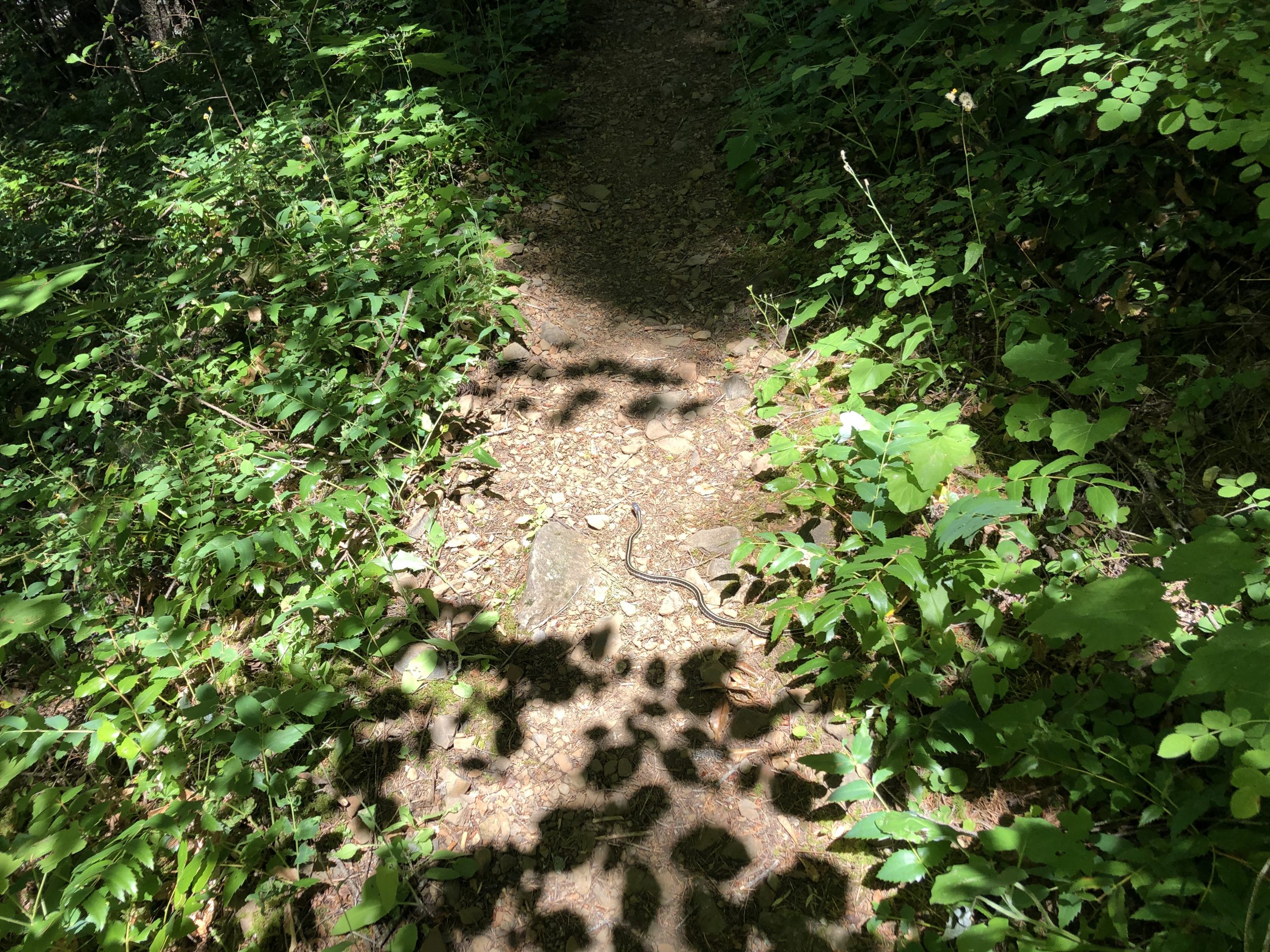
Then my insect friends show up for their morning feast. They stay with me most of the day. The only spot I find that is relatively bug free is a well traveled dirt road. I setup there to cook some breakfast when Papa and John show up followed by Patches.

Patches is anxious to get to the highway into Trout Lake at 2229. Apparently he went swimming with his mobile phone a couple days ago with the expected result. Honestly, I’d get lost all the time without my smartphone maps, so I get his anxiety. He splits shortly after while Papa and John take a break with me.

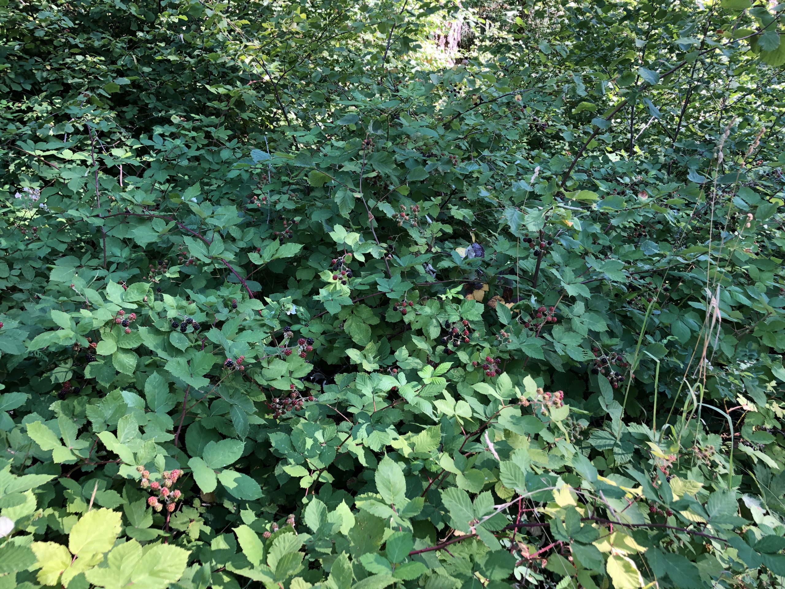
While I’m hanging out, a car pulls up and out jumps an older couple looking for huckleberries. They plan to hike in a few days and want to time their start with the huckleberry season at this altitude. Spent some time chatting with them about the various berries. They show me various types of blueberries and others whose names I forgot. The guy hiked most of the California PCT back in the 90’s. He said his pack weighed around 50 to 60 pounds and didn’t meet another thru-hiker until around the 400 mile mark. Amazing how times have changed. If I had to lug a pack that big, I would have quit after the first 100 miles.

So that gal starts rumaging through her trunk offering me this and that. Unfortunately, nothing sounds that good, so I pack up and bid them goodbye.

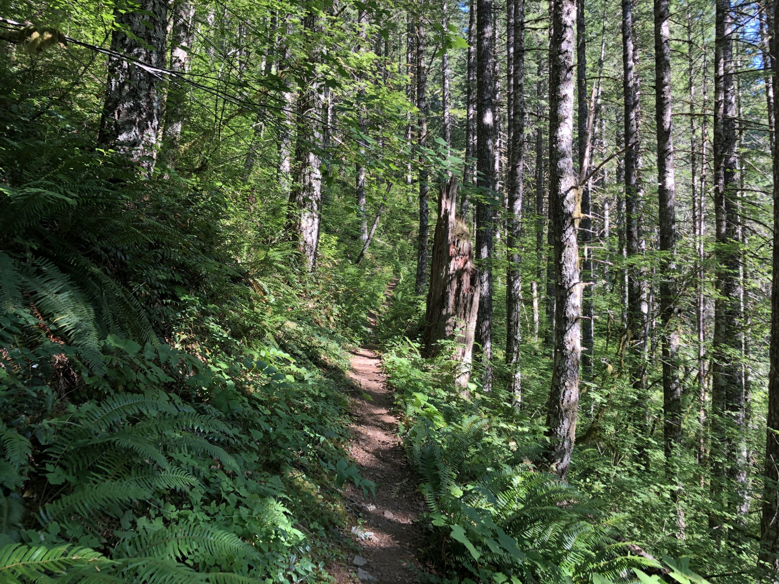
Back on the trail, I’m running into a virtual tidal wave of SOBO’s. I counted 24 of them in groups of twos and threes. With these SOBO’s comes rumors of trail magic a few miles up. Apparently Mama Rose has setup shop and is making burritos. Well I want one! I step up my pace and hit the spot at 2222 only to find….well nothing. Mama has left me burrito-less. Really striking out on the trail magic these days.

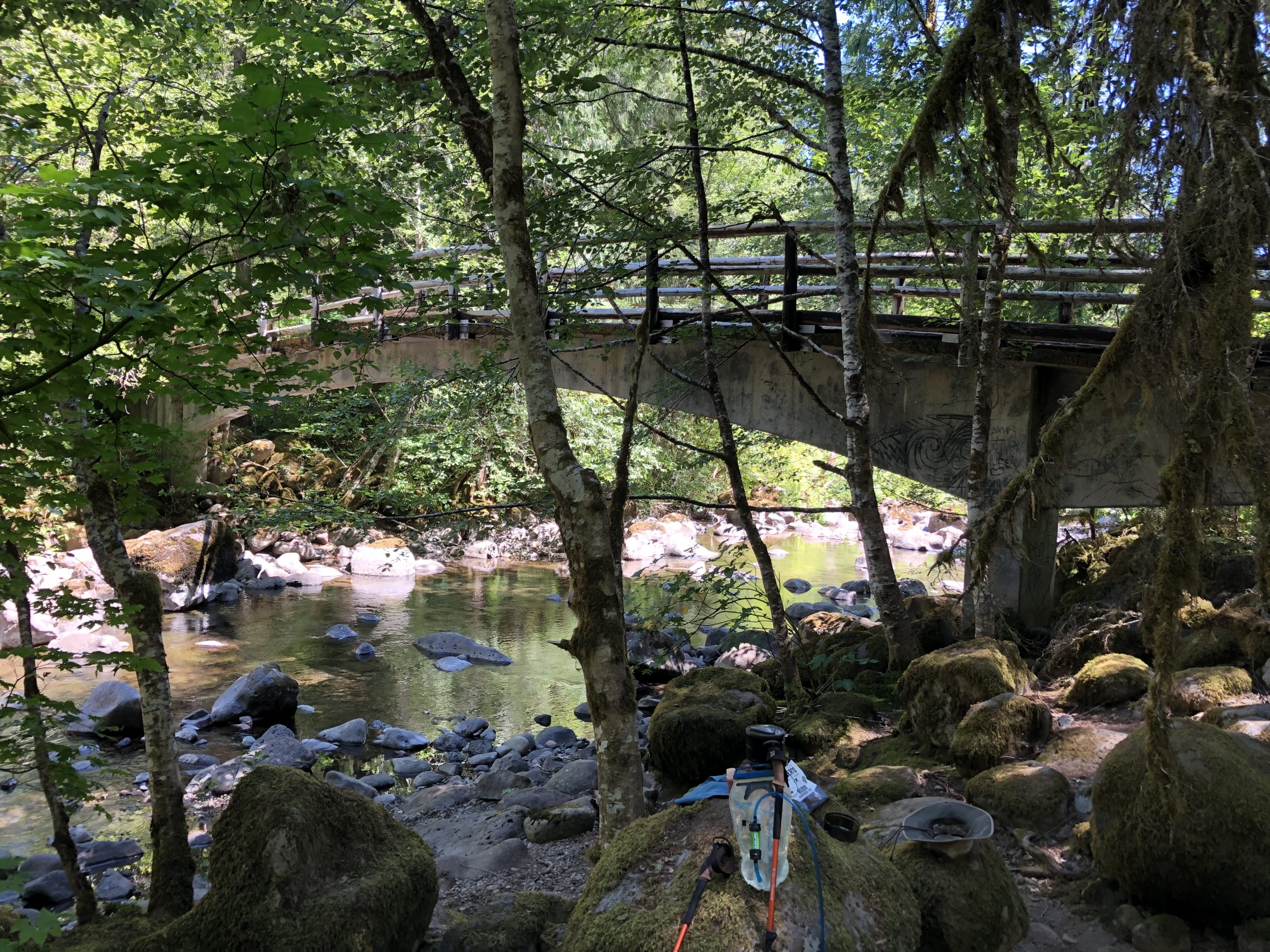
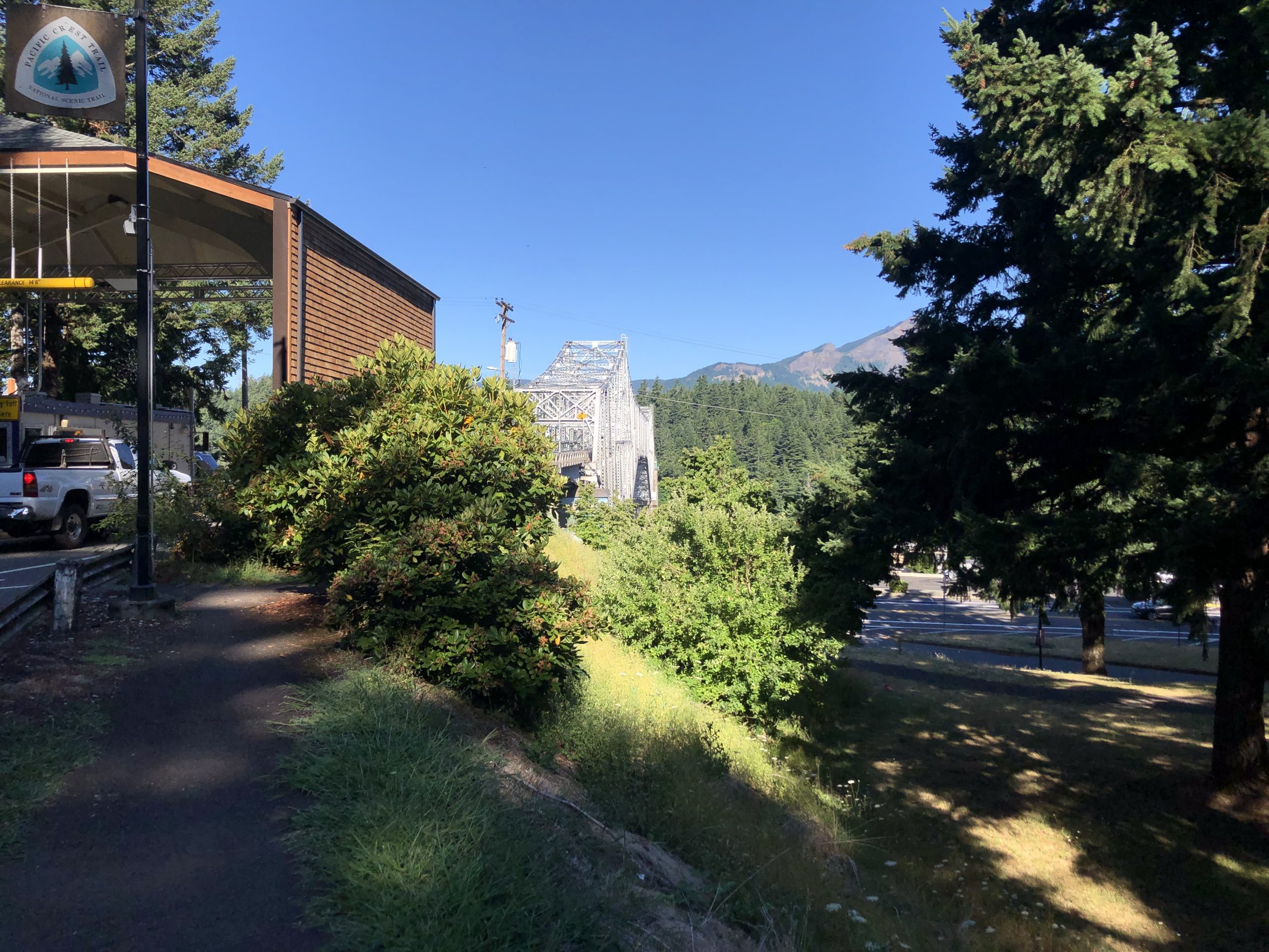
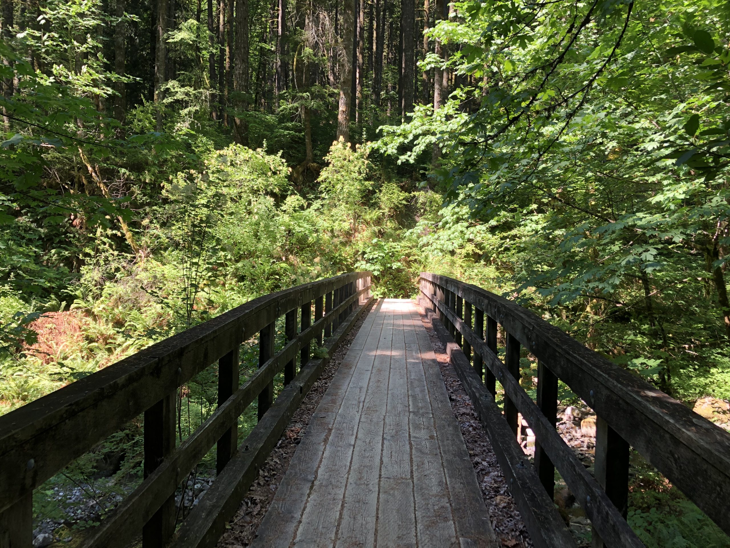
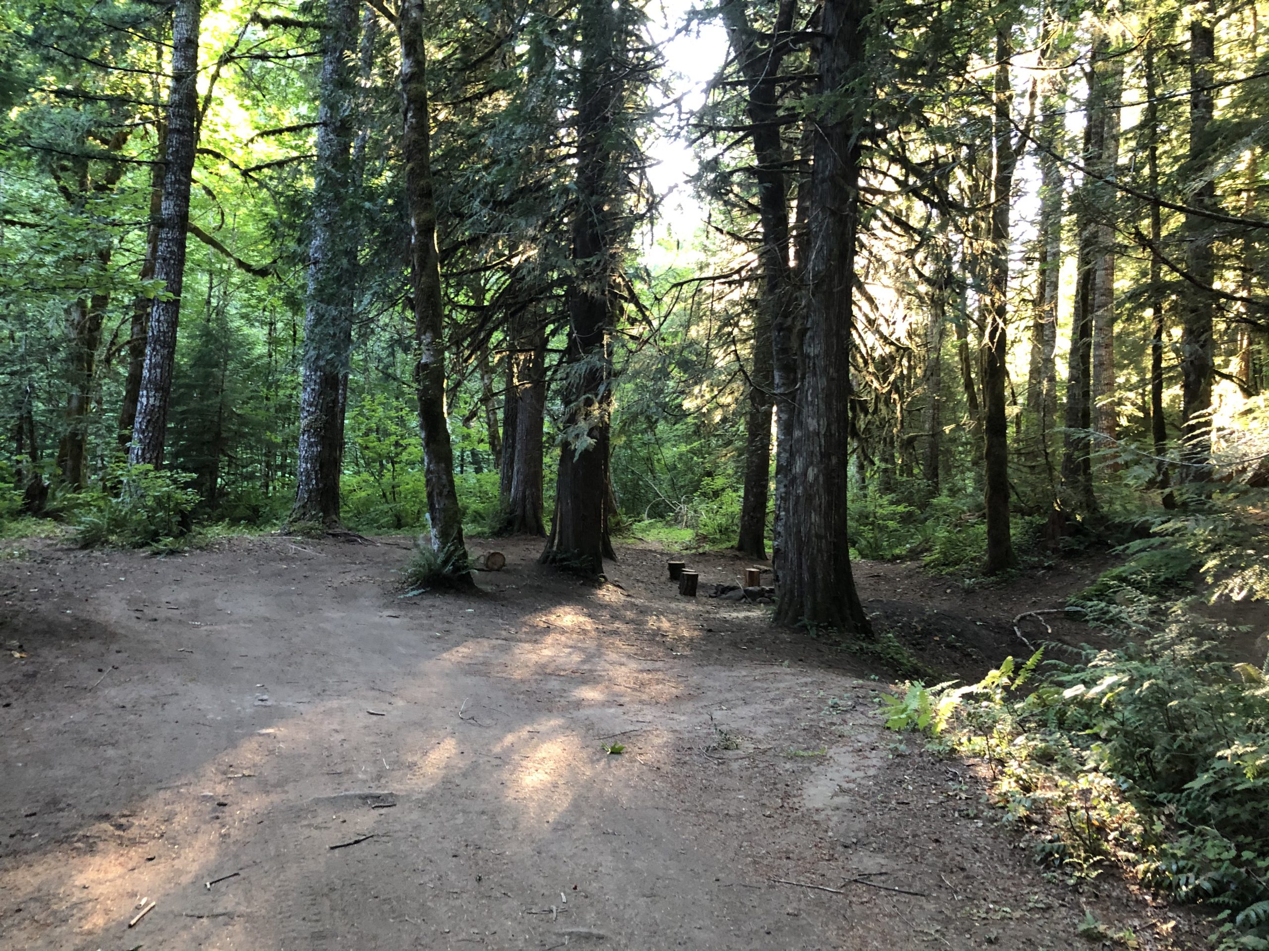
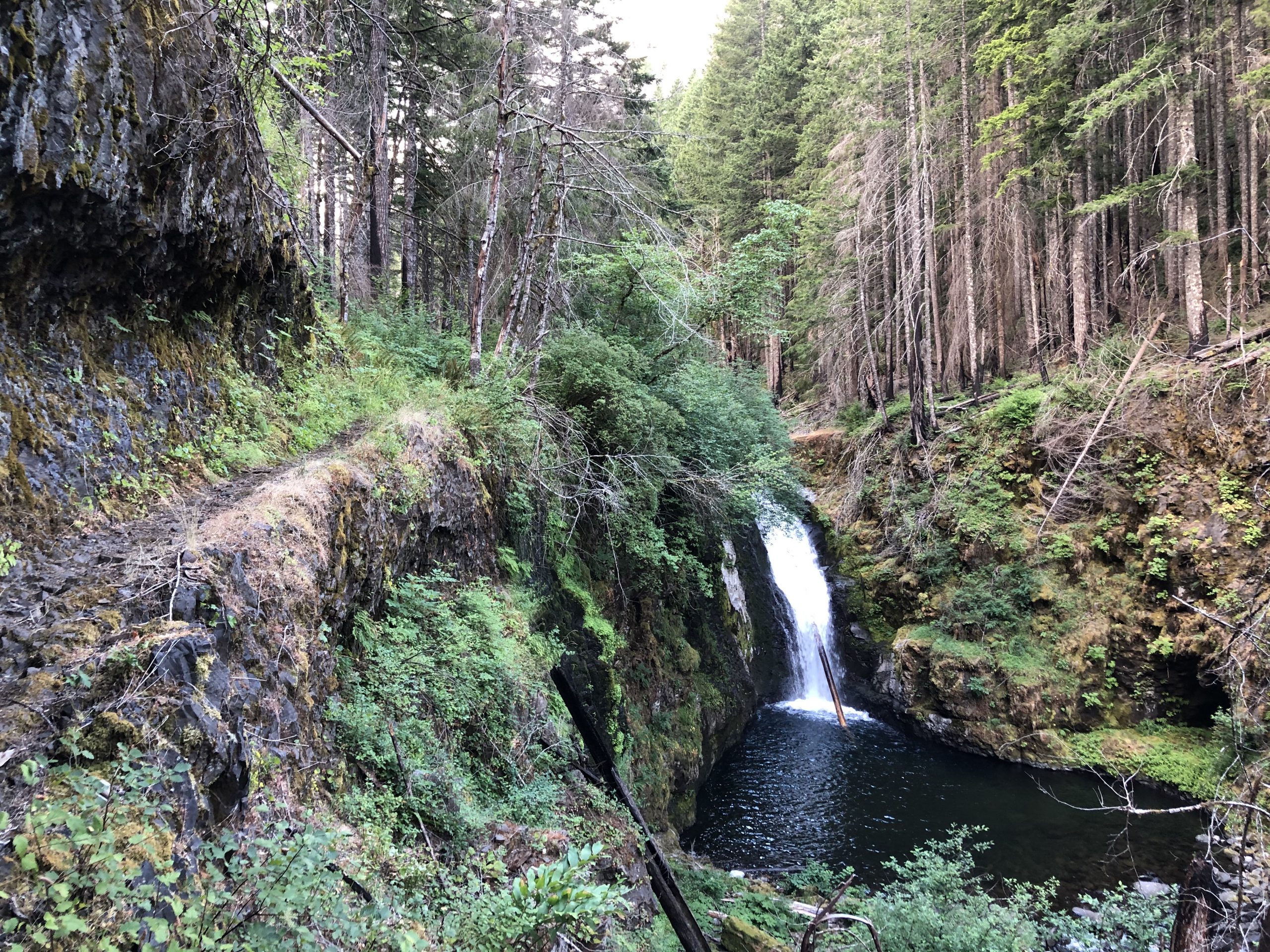
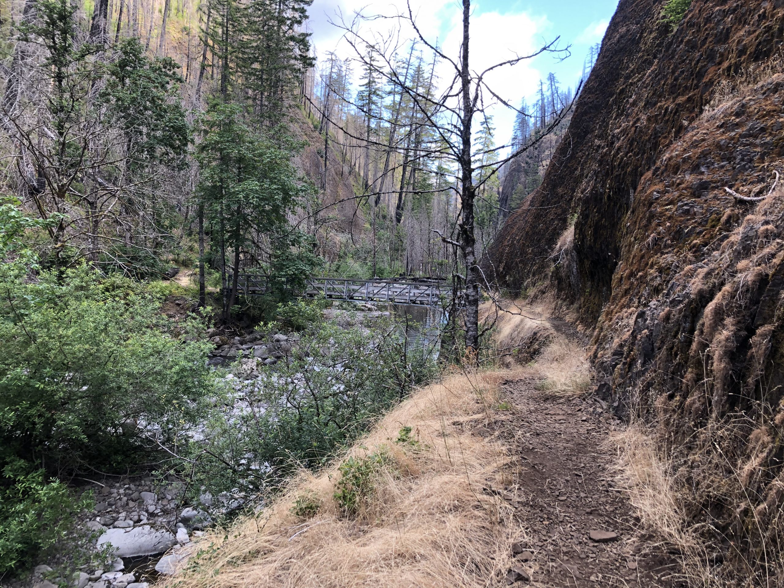
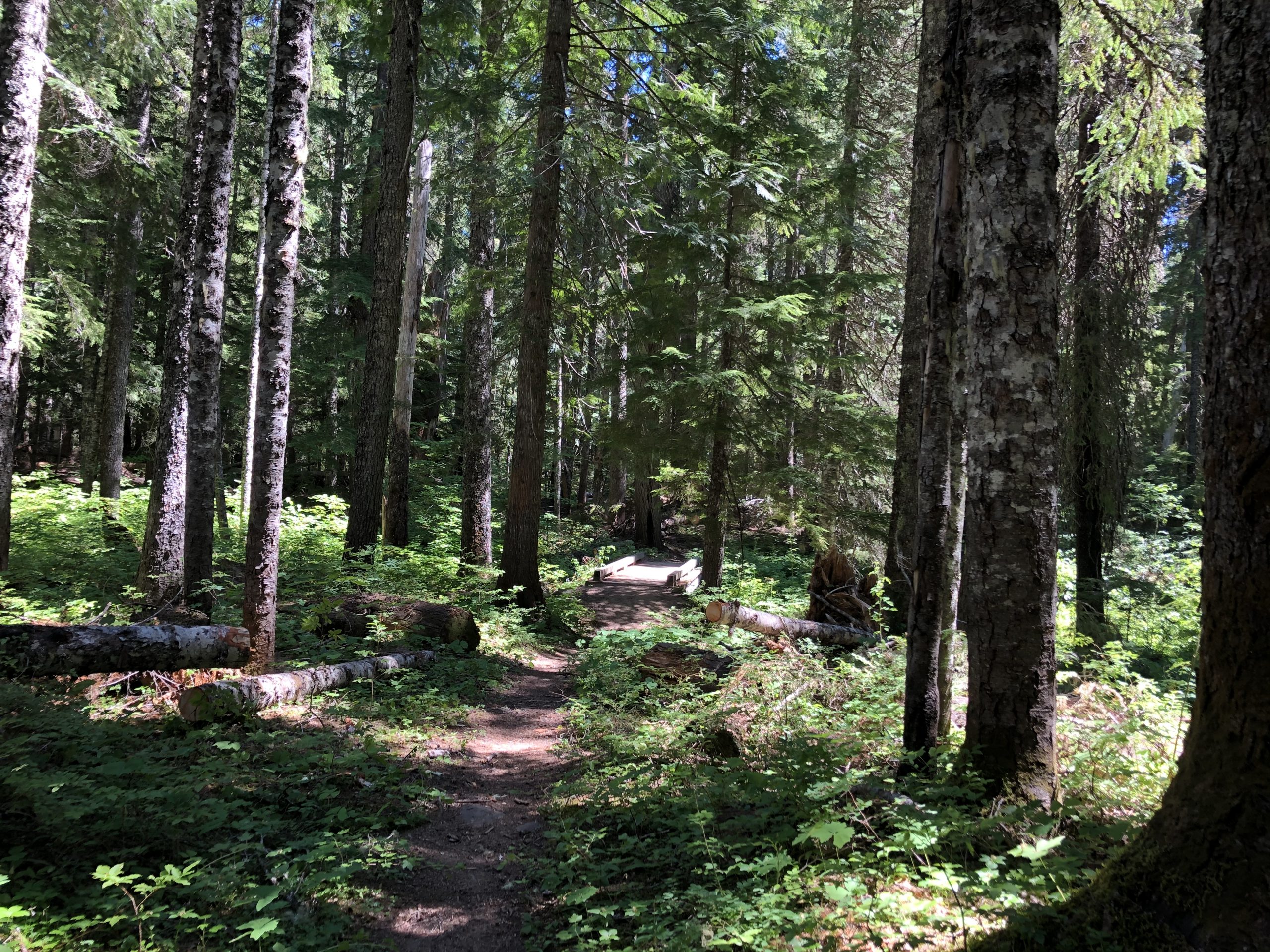
By now it is 1:30 or so and hot. I’m at the nadir of this bug filled stretch and got another 1.5k climb coming up. So after crossing this bridge I take stock.

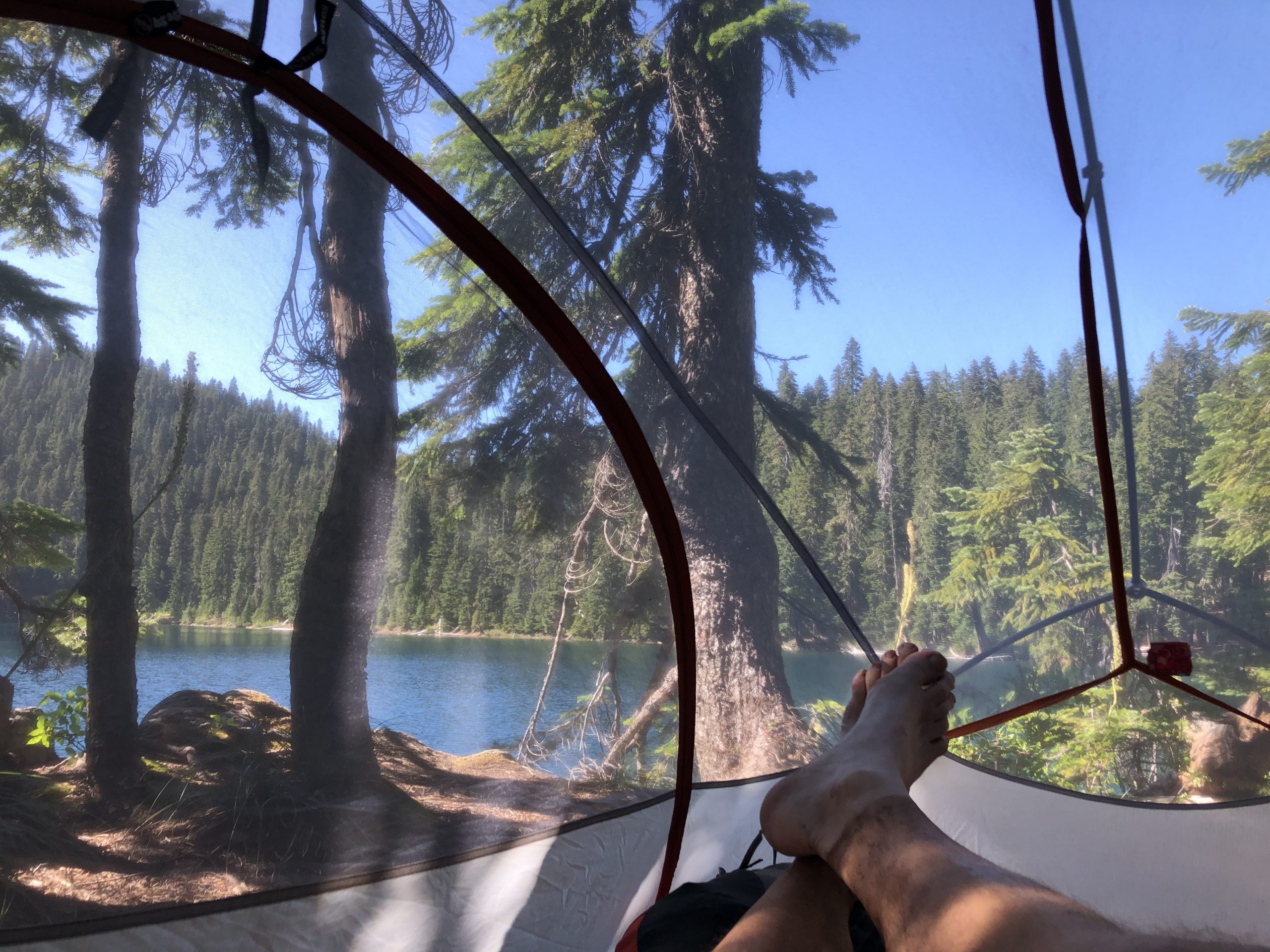
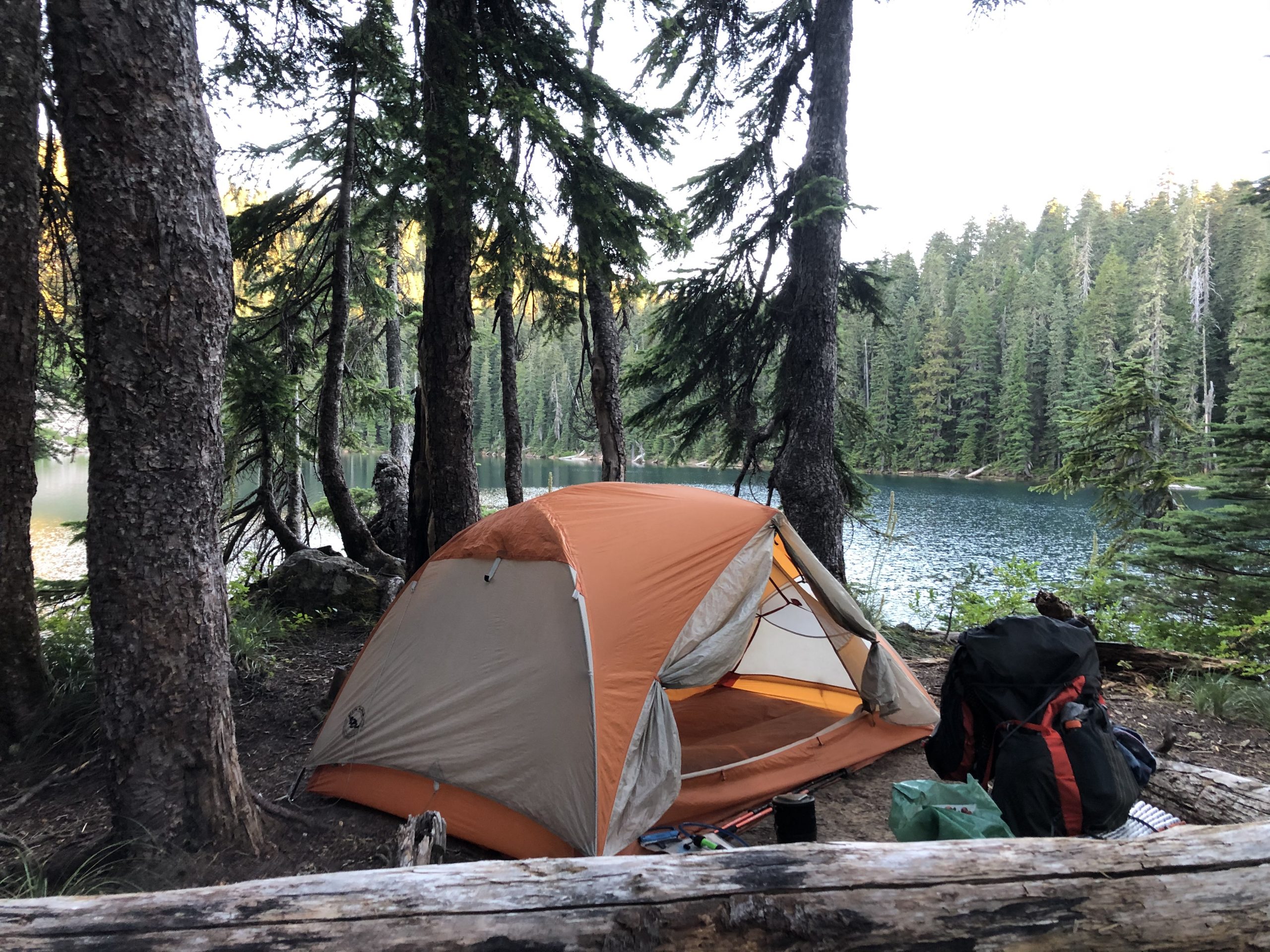
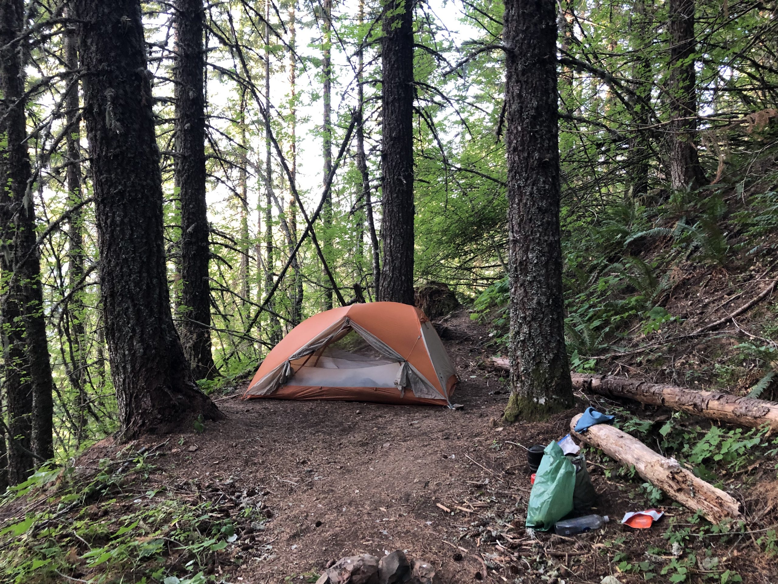
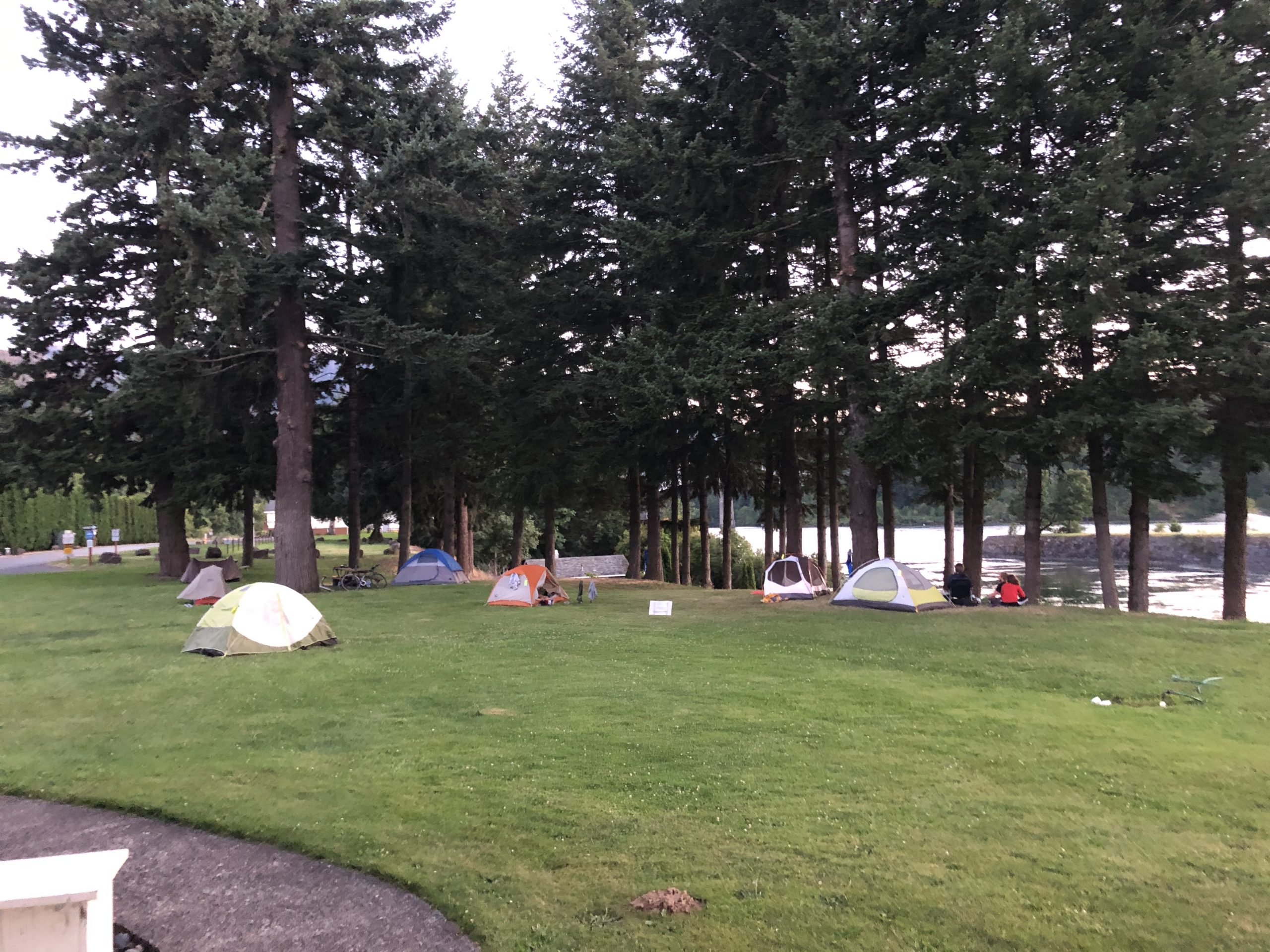
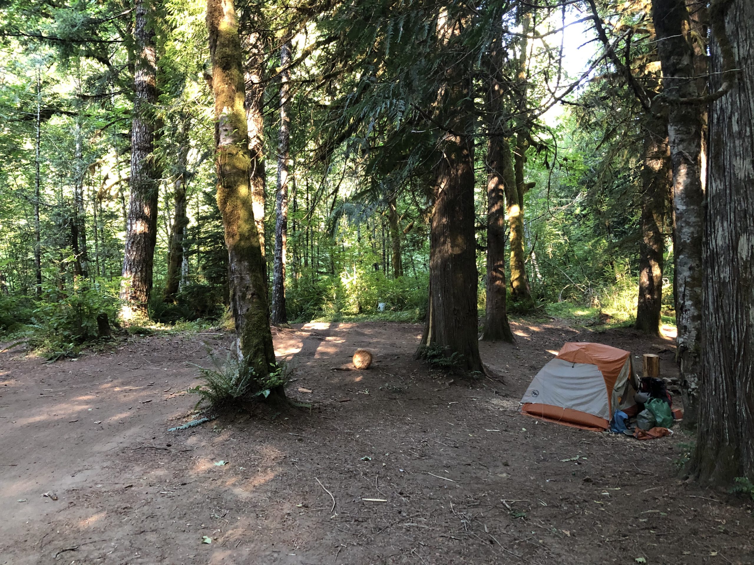
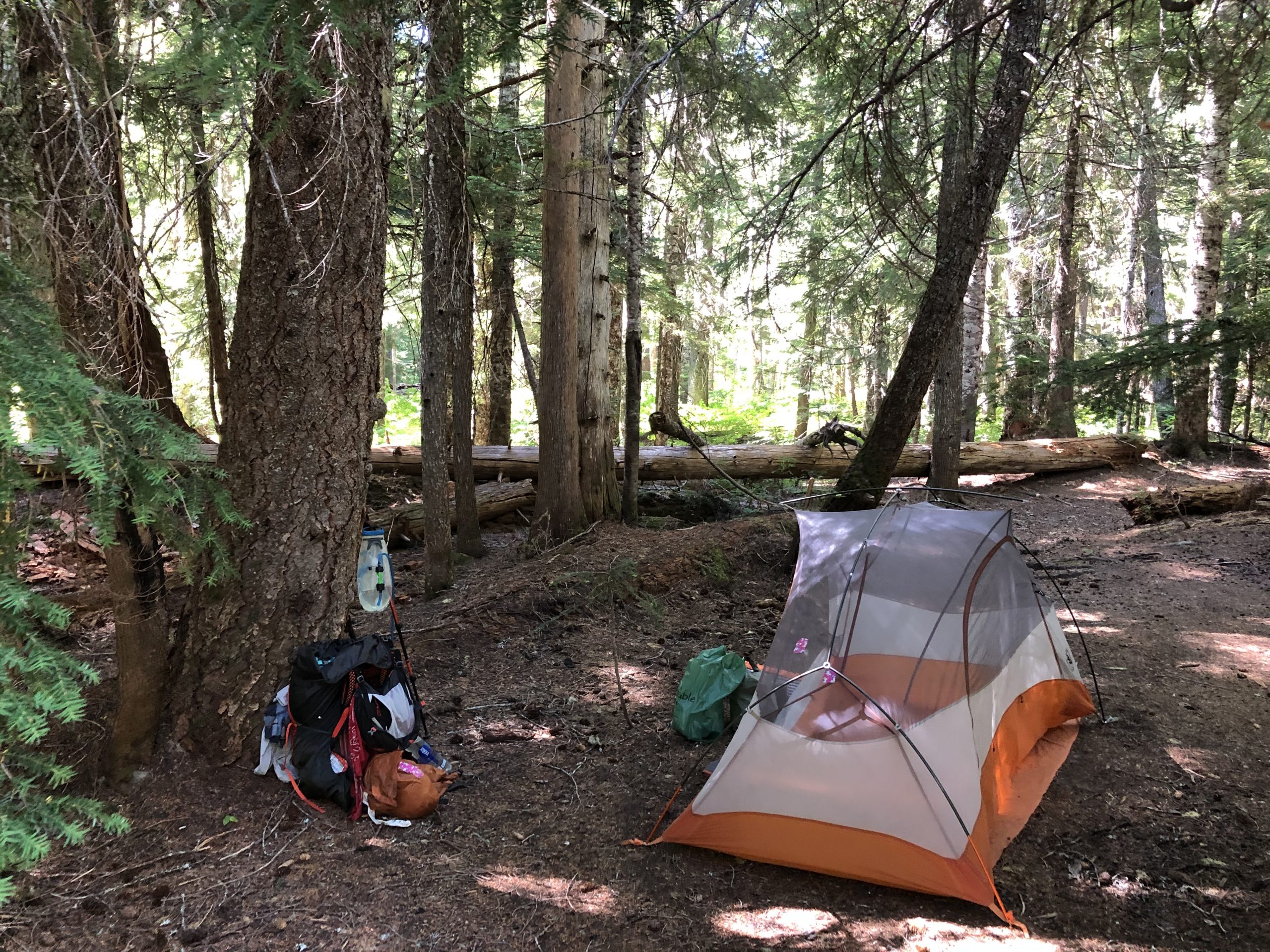
I’ve covered almost 20 miles at this point due to a combination of an early start and the broken promises of trail magic, so I throw my tent up next to the river and take a nap. Papa and John come by for a chat before heading up the hill.

Sanctuary

I sleep through the afternoon heat, wash my socks and feet, then pack up for an afternoon climb.

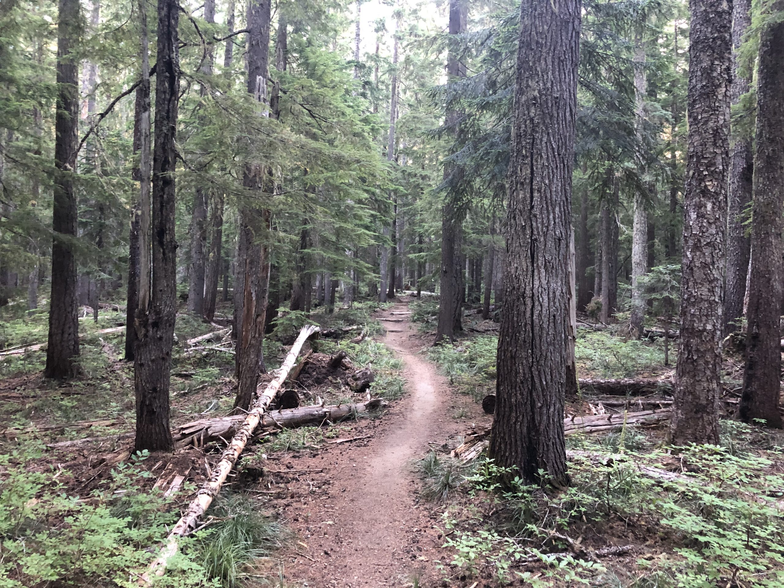
It was a good call. I ran into Papa and John again later in the day and they approved of my timing. The climb was relatively cool and bug free. I setup my tent next to a creek, made some delicious spaghetti and crashed. Did a 25 miler today.

7/24 Mile 2186 – 2206

Man, I sleep so well on the trail. I don’t know if it is the exhaustion, cool air, or what. I am practically unconscious by 9 and only wake up when the dawn light is hitting me at 6. Today’s objective is Blue Lake. Reports are that it is a really good spot and this time I’m beating the other folks to it.

I strapped in early today, hitting the trial before 6. I want to finish this climb early in the morning while it is cool and have some breakfast on the peak. I forgot the one downside of being the first on the trail in the morning. Spiderwebs. Overnight, our spidery friends try to start webs across the trail and the first one through gets covered in them. That would be me. Eventually I pass a SOBO and we joke together that the trail is now clear in both directions.
I reached the top, took a picture and had breakfast. While I’m finishing up Papa and John cruise by all sweaty. Glad I got some of this work in last night.

There are some experiments going on up here. Seen half-dozen of these signs.

Government Experiments

As usual my mind starts wandering. Let’s have a peak inside Salty J’s head for the next hour or two.

So I’m thinking experimental area. You know Bigfoot is supposed to be running around here. During my hike in 2017, my foot grew from size 10.5 / 11 to 12+. We all get real shaggy on the trail. Maybe at this point some hikers just throw off their packs and run off into the experimental area, eat some special berries, and complete the transformation. A Salty Bigfoot.

The government would have all sorts of uses for a few Bigfoot.   Sent some of them to Siberia to collect intel.  Drop a few in Tibet to stir things up.   Maybe they do some trail maintenance when they are not working covert Ops.  

I break the pull of the Bigfoot berries and head downhill.

First I start slappng bugs then I see this

Only Evil Resides There

By now I’m under an Oregon style mosquito assault. But Washington doesn’t stop there. How about mixing in some biting black flies? Then some tiny little shit’s that I can hardly see but love to chomp on my exposed legs. Cap that off with a bunch of horse flies constantly circling and that completes the picture. I’m practically jogging through some of the worse areas until I finally get to Blue lake at 4 or so.

Blue lake is a deep one that is a popular swimming hole for the locals. It is also popular with all of Washington’s insect horrors. I find this choice spot on a pennisula, throw up the inner layer of my tent, and dive in with my pack. Then I go to work on my unwanted  housemates in a thrashing, slapping frenzy. After 10 minutes my tent is a bug graveyard and I lay back to enjoy the view.

Arriving at Blue Lake followed by a Cloud of Mosquitoes
Oh Yeah

While I’m laying there chilling, a group of 6 teenage boys show up and jump off the ledge just to the left of my feet. Fun watching them doing flips. Wish I would have caught one on camera. A little later the bugs die down and I venture outside to setup my rainfly. Took another pic in the morning while I was packing up.

Love This Spot

This place is definitely a 10. Even the lake water tastes pretty good. I did another 20 today. That’s ok mileage, but I need to step it up if I want to make the next resupply before I’m empty.

7/23 Mile 2167 – 2186

Got up early and headed out around 6:30. Was hoping to slip by dog lady undetected and almost made it. Her “Service Dogs” chased me up the hill.

I want to make some extra miles today, so resigned myself limit my stops. The trail drops to 1k, then there is a long climb back up to almost 5k. It turned out to be a pleasant, shady day and few bugs.

I’m switching up my routine a little, taking a page from a German hiker I walked with in 2017 through the Desolation Wilderness. He liked to get an early start, do a couple hours of hiking, then stop for breakfast somewhere.

Sitting there eating my instant oatmeal, I was watching the behavior of the horse flies. When I’m walking, I keep running into them. They start buzzing around me in tighter and tighter circles until I smack them with my hand, they lose interest, or land on me and start biting. Well it turns out these things know where the trail is and hover at about 4 feet for hours. When something walks by, the fun begins. Stupid bugs.

Ho Hum Views 🙁

Aside from the horse flies, it was mostly a bug free day. I don’t have anyone to talk to, so my mind starts wandering. Today’s topic is the Washington trail designer who is clearly a different breed from his Oregon counterpart. Let’s call him “The Lumberjack”.
Whereas the Oregon designer seemed to go around the hills, The Lumberjack chooses to go over them. His trails are wide and steep. The Lumberjack doesn’t take shortcuts. I imagine he was a cigar chomping, brute of man. Get your ass up this hill, boy. I feel him shaking his head over my pathetic pace. Nobody is worthy of his praise as we all fall short of his expectations. I spend hours thinking about this character and how pissed he is about these pansies hiking HIS trail.

This is how you build a bridge in Washington !

In forested sections of the PCT you will occasionally see metal plates nailed into the trees to mark the official trail. We call them blazes. Here in Washington they are everywhere. Clearly a sign that The Lumberjack had low expectations of our navigational acumen. It seems that one of my hiker brethren has taken to writing inspirational messages.

I hike over a 2k climb, then drop into a long valley. Like yesterday, the prime camping spots at the lower elevations near the large creeks are occupied.   

While I was looking around for a spot, I spent a little time talking to the 3 ladies hiking together.  They are 50 somethings who started at the midpoint and plan to hike to the Canadian border, then bounce back to the midpoint in Chester and hike South.   Their combined trail name is Wander Women.

This time I’m a little better prepared for a full campsite. I loaded up with water around 5 and decide to take a bite out of the next 3k climb I have ahead of me. I reach the half-way point and setup on a nice little spot next to the trail.

A few SOBO’s walk by after 8, hungry for my spot. Sorry boys and girls.  Salty J is on his game today. 

7/22 Mile 2147 – 2167


Here is a pic of the lawn I was sleeping on last night at Cascade Locks.

Now, you might think this looks like an ideal location. Nice grassy area, next to the Columbia River, plenty of space between tents, etc. Well the one downside is that the train tracks are about 100 feet away and these tracks are special. These are the super highway of train tracks, with heavily loaded freight trains passing by every 20-30 minutes….all night long. Last one I recall passed by at 1:23 AM before I finally went to sleep. My night on the railroad cost me an early start, I finally got moving around 8:30.

Most of the folks I camped with last night have already taken off. One couple, Work Horse and Chai, who I got to know yesterday have already left. I expect to see them in the coming days. They are in their early 50’s and look like they do my kind of pace.

Bridge of the Gods. What a name for this utilitarian, narrow, steel girder bridge. Whoever named this thing was a branding genius. It is a narrow two lane road across with no pedestrian walk way, so I just walked in the road with cars finding their own way around me. Took one quick pic while I was walking across.

The unGodlike 2 lane Bridge

PCT Gets its Own Road Sign

Got on the trail and started climbing. Wow what a difference. I’m walking through an old-growth forest. I counted the gowth rings on a couple trees that had fallen over the trail and had been sawed in half. These beasts are over 150 years old. An added bonus was ZERO bugs. So it was a groovy shady climb out of the river valley filled with black berries I’d pick as I ascended.

Yum !

Looking back at the Cascade Locks and the Hydroelectric dam

Huge difference in the trail here. The trail is wide, well maintained, and all the fallen trees have been cleared. The footing is nice and soft. Loved it.

Nice Trail

I’m starting to run into more Southbounders (SOBO’s). These folks have already done 500 or so miles and are getting their trail legs, so I didn’t talk to them much. They are trying to get the miles in and since we are passing each other, what’s the point in long conversation? While I don’t get to speak with many folks, there are plenty of snakes to hang  with.

Snake !!

When I got to the top of one of the climbs, there are the ruins of an old railway siding structure that was destroyed in a 1929 fire. Pretty much just a pile of wood and steel cables now.

Siding Needs a Little Work
Last View of Cascade Locks

Once I gained some altitude, around 3k or so, the trail alternates between shady forest and stretches of open areas filled with tons of plants with supercharged growth. It feels like I’m in a salad.

Salad Bowl

So Long, Mt Hood
Fuzzy Forest

Around 6 O’clock, I hit the creek that I was targeting to camp only to find tents all over the place. Work Horse and Chai were at one nice spot next to the creek. Next was a local backpacker who absorbed a 3 tent site with his one tent and yard sale of camping stuff (camp chair, hamock, etc). The next spot had 3 ladies in 2 tents squished together.

My next alternate was occupied by Papa and John, two cousins about my age who are sectioning some of Oregon and all of Washington. Papa John, get it? Anyway, they looked comfortable in their nice spot with no room for the Salty One. I resigned myself to doing another mile or two.

The next potential spot was off trail along a dirt road. It was getting dark and I didn’t really want to be night hiking. There was some chatter about camping spots 5 minutes south of the trail, so I gave that a shot. The good news was I found it. The bad news was there was a truck parked there with an older women and 2 barking dogs that came running at me all snarling. Talking, well shouting actually, she offers to let me stay there. She says her dogs are “Trained Service Dogs”. Apparently they are trained to ignore her. Yeah….no thanks.

Saw some dirt roads leading off the main road and kept looking. Eventually I found an awesome spot right next to the river. Huge, flat, and unoccupied. As I was setting up, I could hear the lady’s dogs barking at another hiker who was in the same predicament. Then another. Poor folks probably had a crappy night.

I’ll Take It
Taken

7/21 Miles Alternate Route (about 10 miles) – 2147


I bounced out of the tent at 6 this morning was on the trail before 7. I was pretty charged up this morning because this was going to be a very scenic part of the trail as I followed Eagle Creek down to the Columbia.

Here is the evidence.

Falls Just Below the Campsite

Falls

After a couple miles, Pancakes and her dog caught up with me just in time for the highlight of this stretch. There is this big water fall feeding inth Eagle and the park service has blown a tunnel into the rock behind it to pass through.

Tunnel Passage

I took a video of the passing through and she took one of me. Here they are:

Pancakes and Super Tramp

Salty J making his passage

As I walked Through

Following that transit, I took off ahead of Pancakes. Didn’t see much of her for the rest of the day, but I did have plenty of company. Dozens and dozens of day hikers coming up the trail. I’m so glad this was Wednesday. I bet this place is a mad house on the weekends.

Cool Pool

Popping out of the trail, I followed the road down, then hit a stetchy looking Gorge Trail which dropped me on the old highway route which has been converted into a walking area. It follows the river up to the Cascade Locks and the Bridge of the Gods which winds up the Oregon segment of the trail.

Hike Me

There is a small state park campsite next to the river on the land that used to be occupied by the folks who ran the old locks before the dam was built. The good people of Oregon let the PCTer camp on the lawn next to the administration building.

I’ve spent most of the day cleaning up and provisioning for the next leg. This is going to be a long one of about 150 miles. I expect I’ll be in the woods for 6 or 7 days, so I’m going to be carrying a pretty heavy pack. Next stop, the Kracker Barrel general store at 2295.