Woke up to the sounds of birds and a swiftly running creek. That was the cool part. The not-so-cool part was that the rain fly on my tent was soaked. So was my pack which I left outside this time. I learned that condensation next to flowing water can be nasty.
I packed the dry stuff and hung the rest all over my pack to dry. Fireball was laying on the ground in his bag with his head covered. He will be a soggy character when he gets up.
I then ran around in circles until I found the trail. 2 miles to the hot springs!
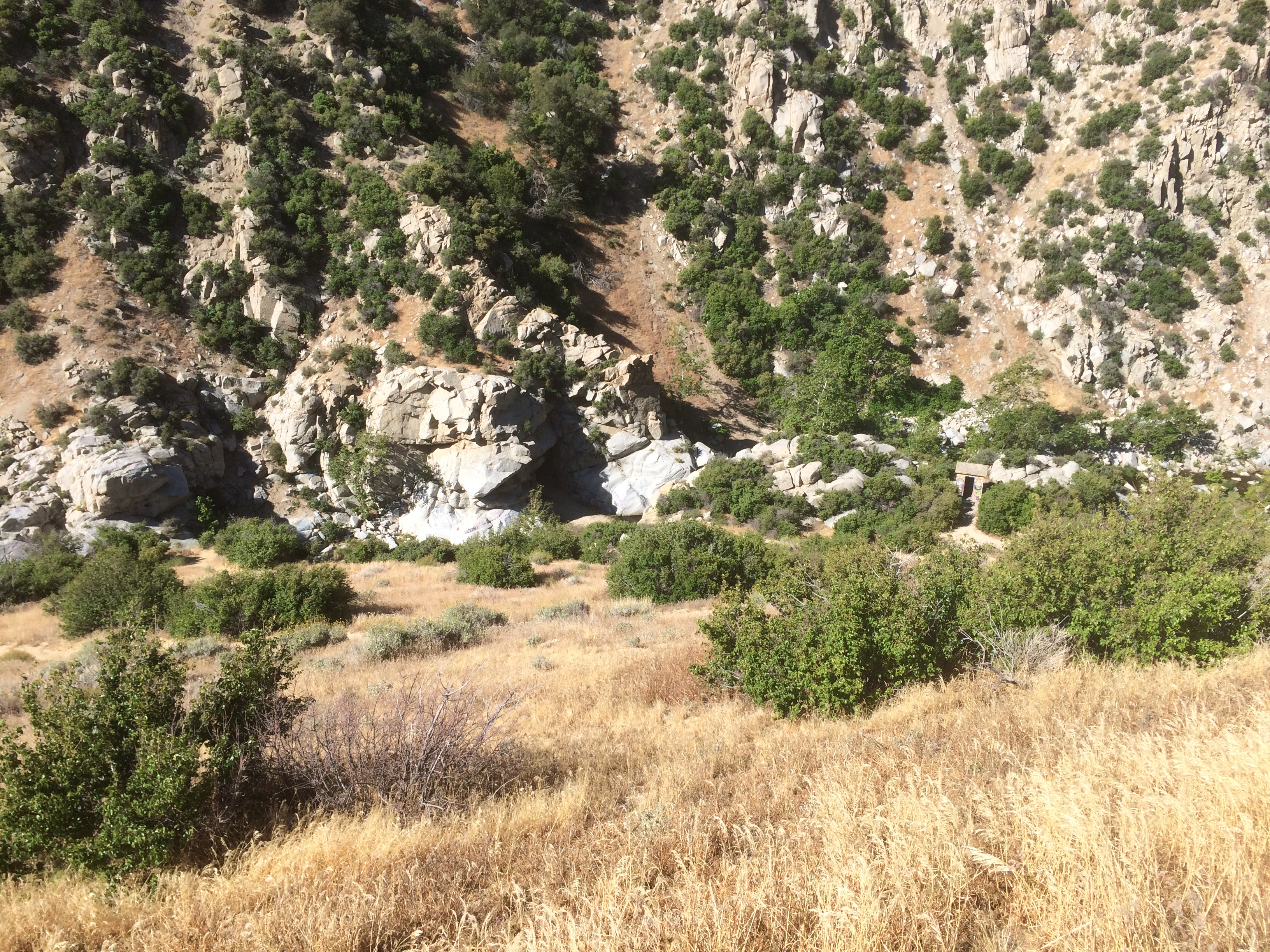
Ok, so I got to the hot springs, but didn’t take any pics. Here’s the deal. There are a bunch of natural and man made pools with flowing hot water in them. That was neat. There was a few hikers and a bunch of locals camped around them with all their trash, that wasn’t. I was thinking of jumping into a large unoccupied one when some old, hairy, naked dude plunged in. He wanted to talk about….well I’m not sure. Saw more of his flock heading down….hmm.
I left. Found out from some French folks later that they found a good hidden spot with just hikers. Just as well, I think I’d have lost a half day if I’d stayed on anyway.
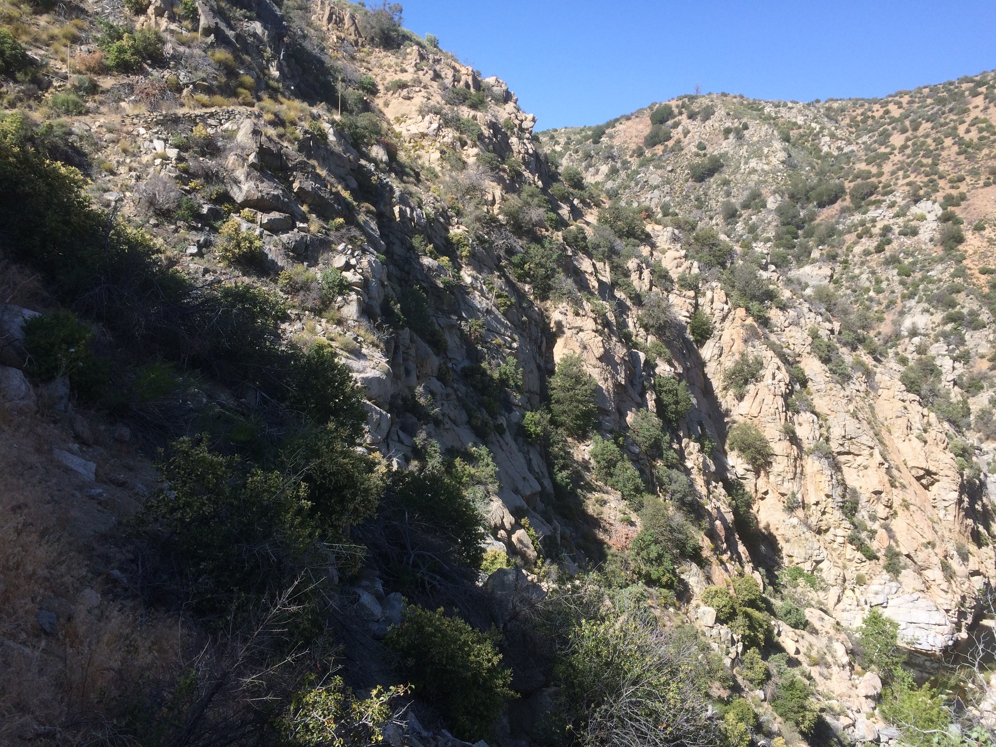
Trail was still giving me the love.
Hooked up with Sitting Rock (17 yr old) and her Mom. I’ve run into them a few times. They offered to let me pass, but instead I stayed with them and visited for a while. They are from Oregon and were telling me about all the berries we’ll see up there in August. Sounds awesome. Her Mom didn’t think much of the crowd at the hot springs either, heh.
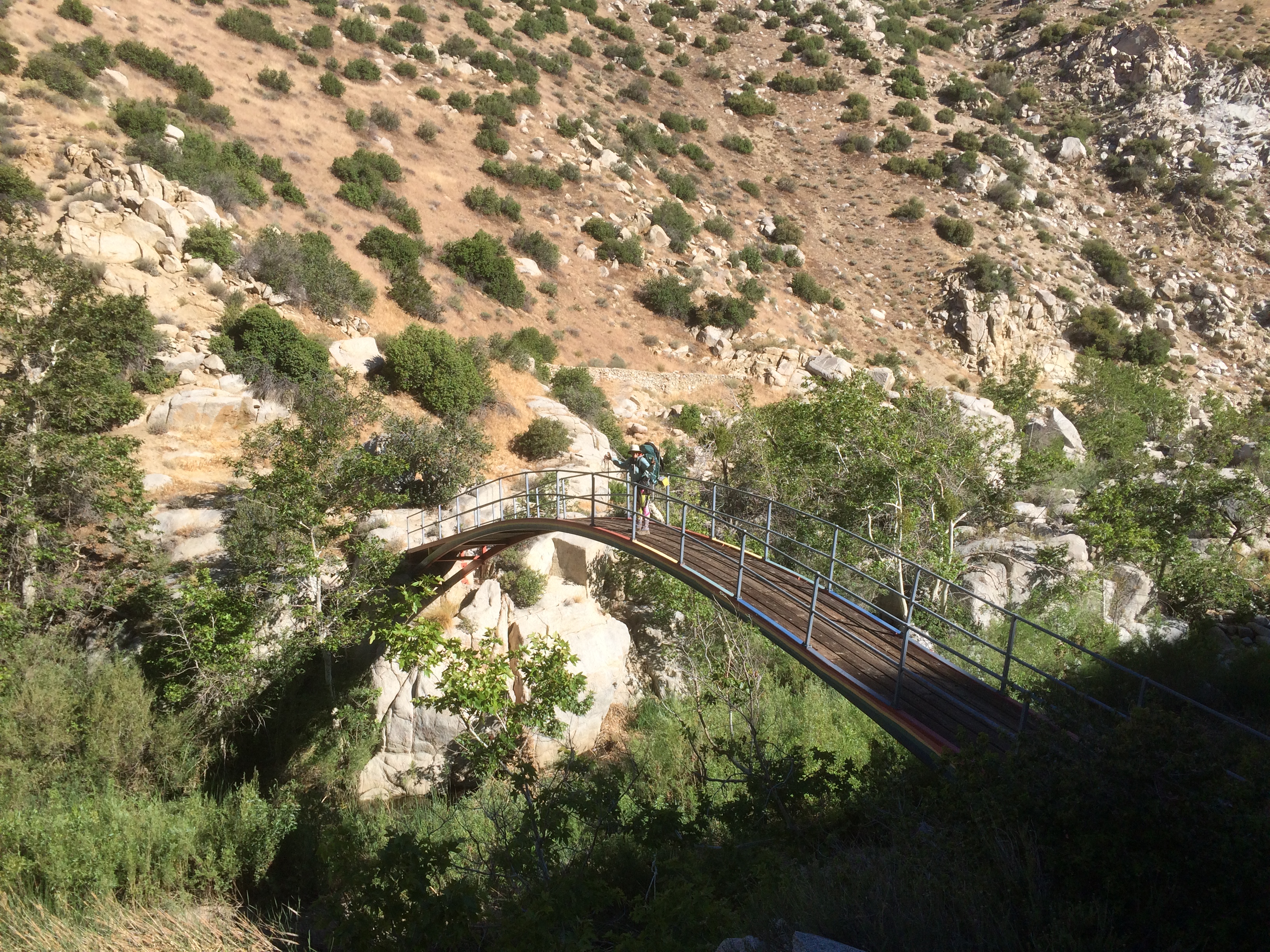
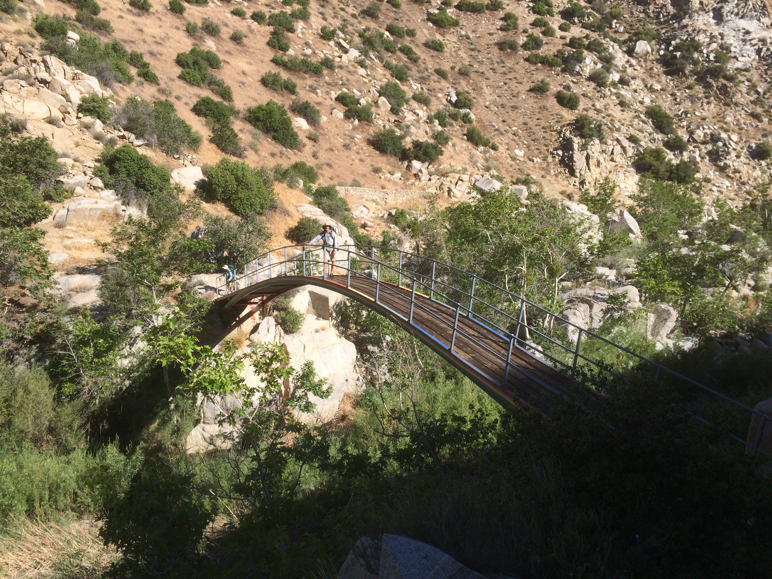
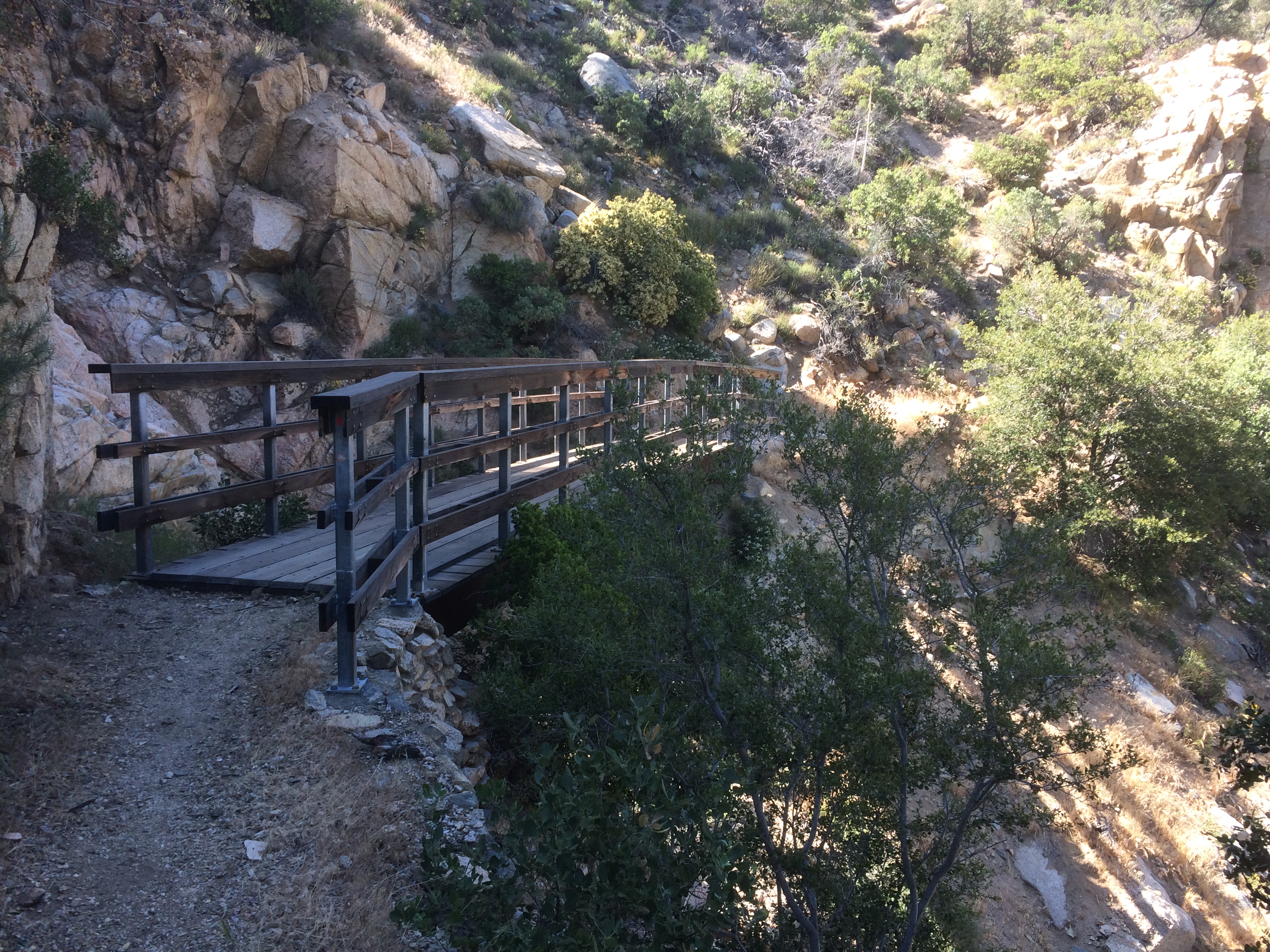
Sitting Rock sat down, well, on a rock after the bridge and didn’t seem to be interested in moving. I headed off on my own again, intermittently hiking with a Swiss/German gal (Ladyback) who had a printed map hanging from her belt, a GPS, and a Phone with a mapping app running. I don’t think she is getting lost.
Now I must diverge for a moment. Couple of days ago, I realized that I don’t really need to do much planning as long as I can find a German around. They always seem to have a rational destination in mind, know where the next reliable water is, and any obstacles coming up. Haven’t done a lick of planning since. 🙂
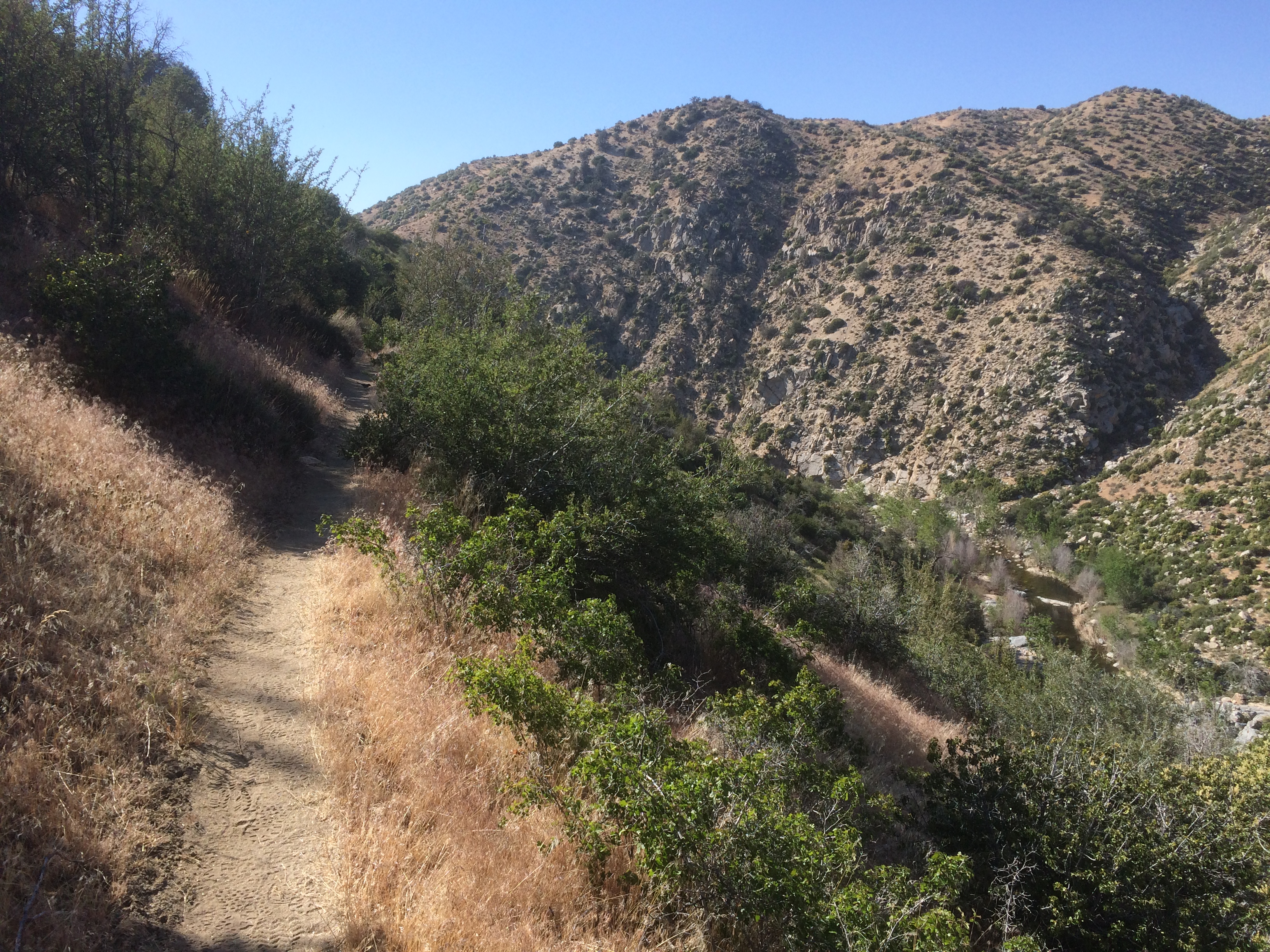
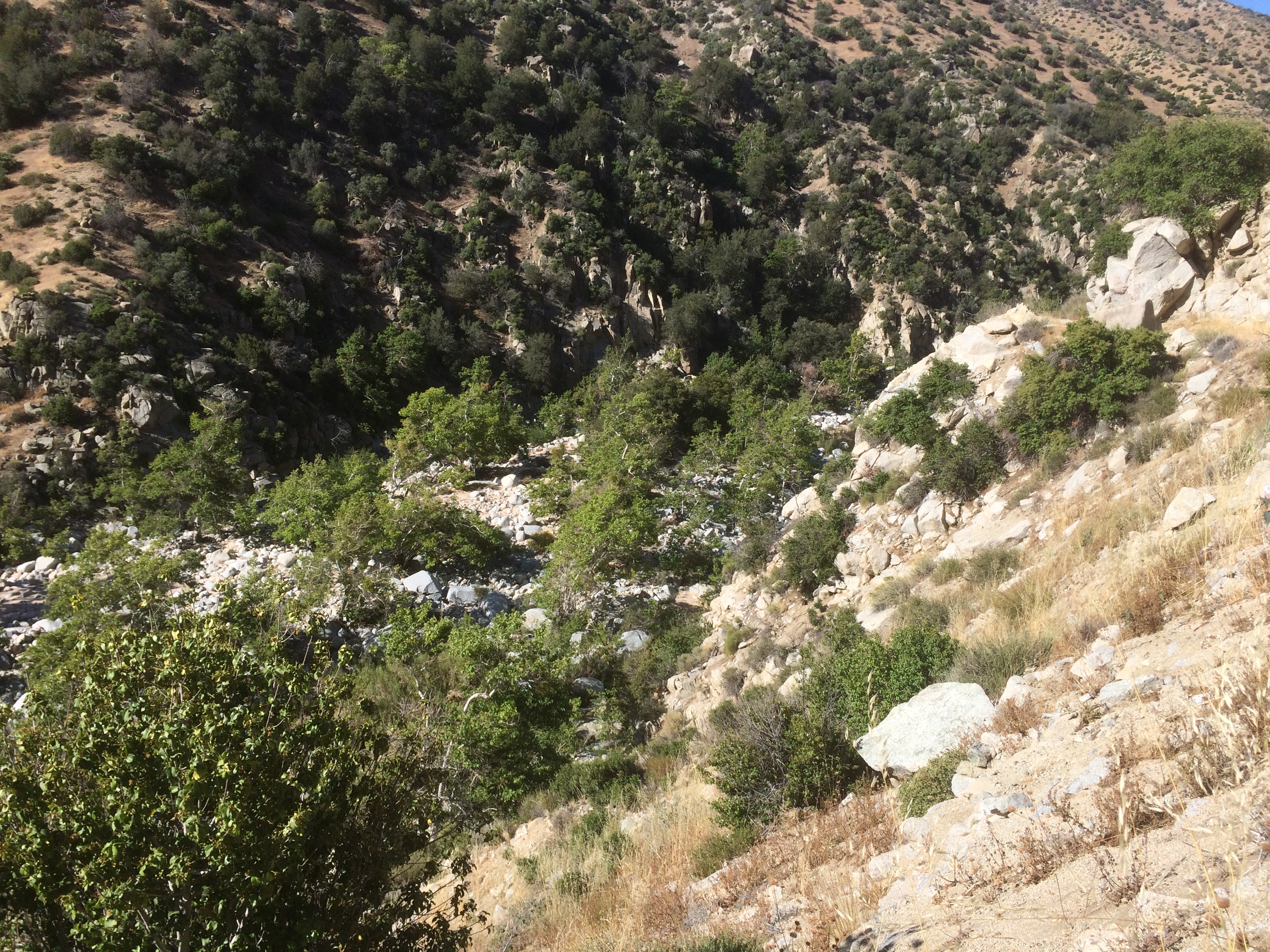
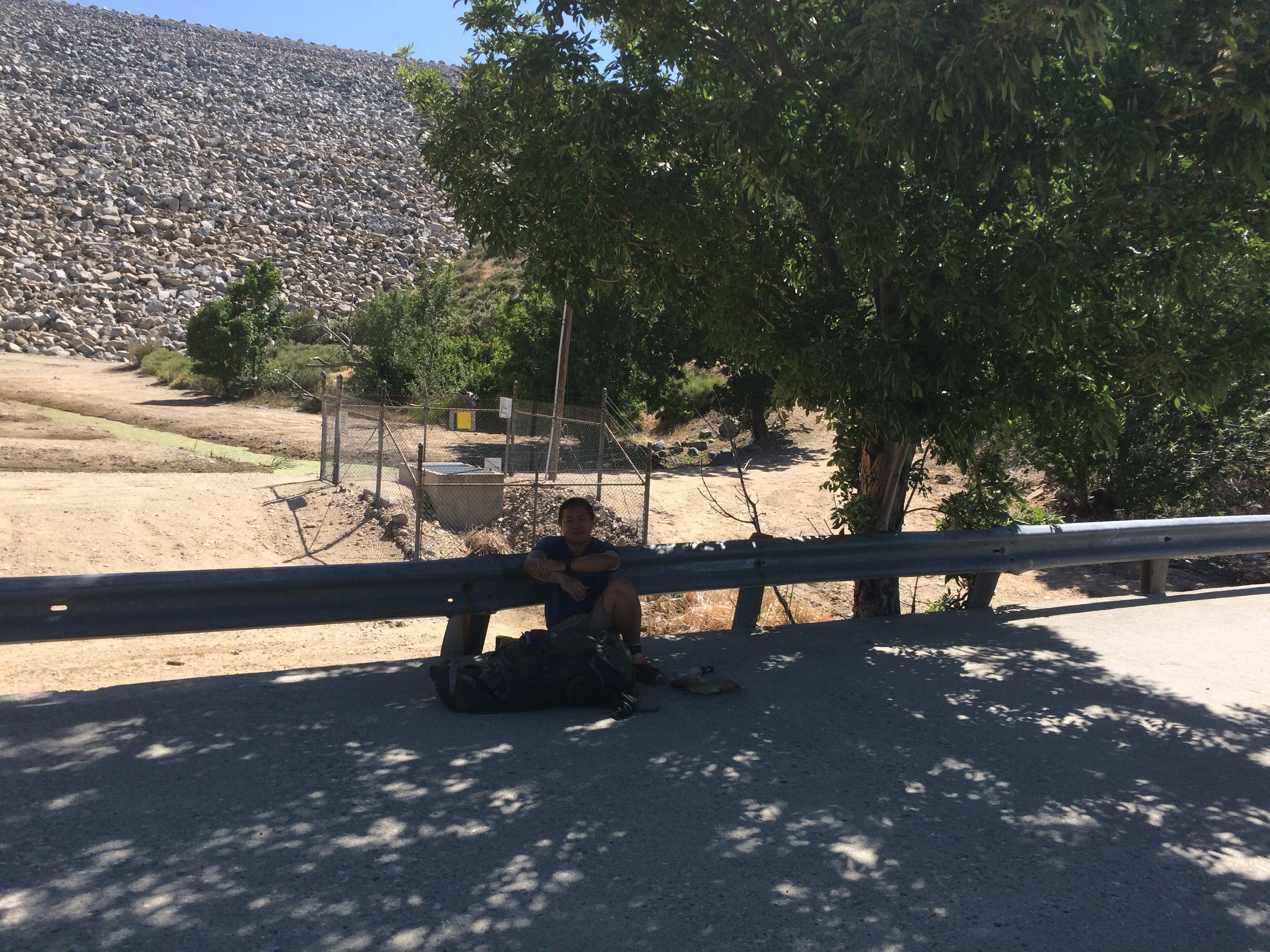
Anyway, Ladyback kept me from getting lost as the deep creek spilled out into the Mohave Damn.
Clearly I was getting close to a road, the graffiti started appearing on all the flat surfaces. I suppose it is a good thing that these clowns are too lazy to hike very far.
Now this brings me to a thought. If the Native Americans did cave paintings and we preserve them as important relics, maybe we have that all wrong. Perhaps they were just a bunch of teenagers running around with berry juice pissing off the elders?
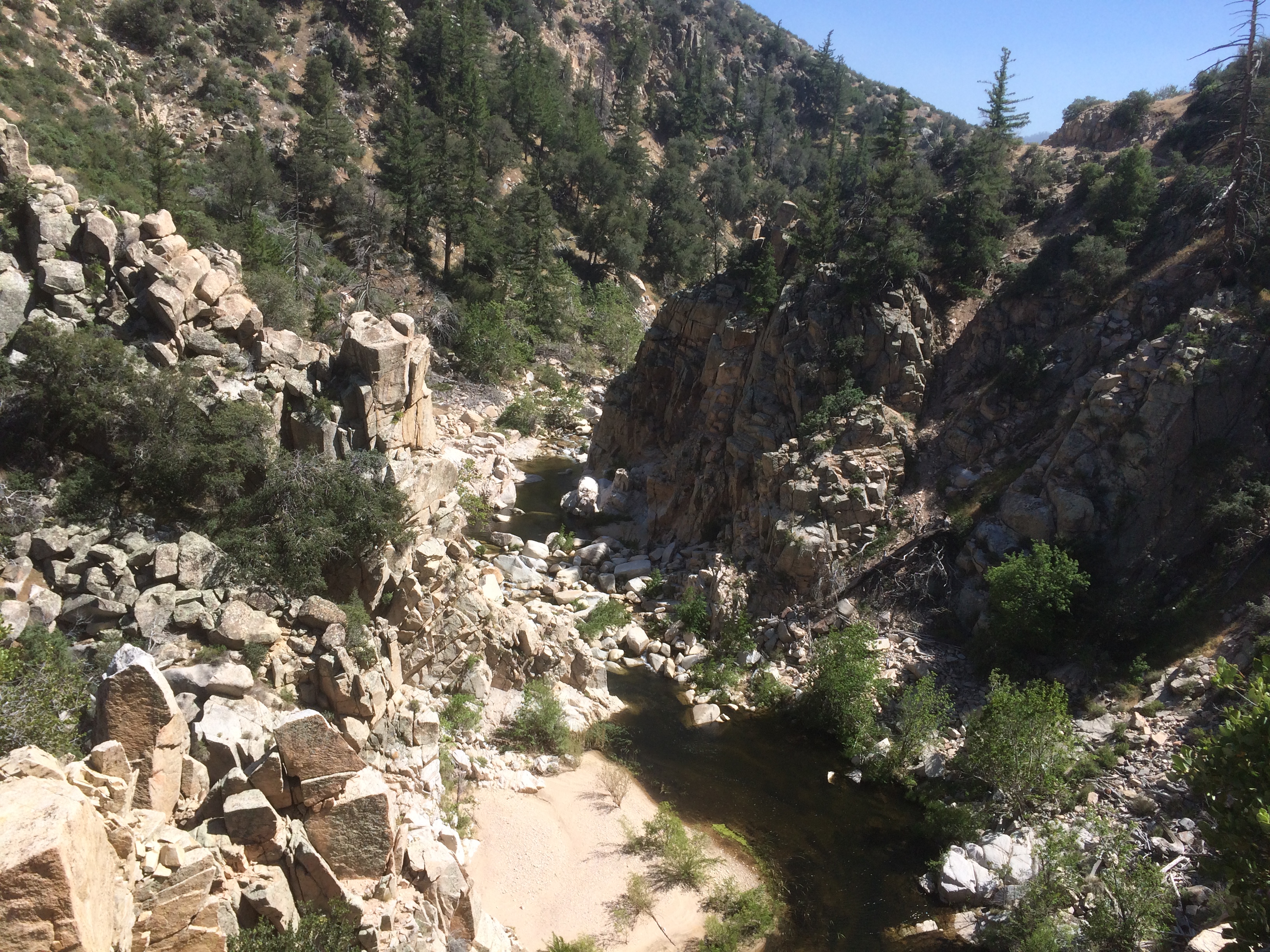
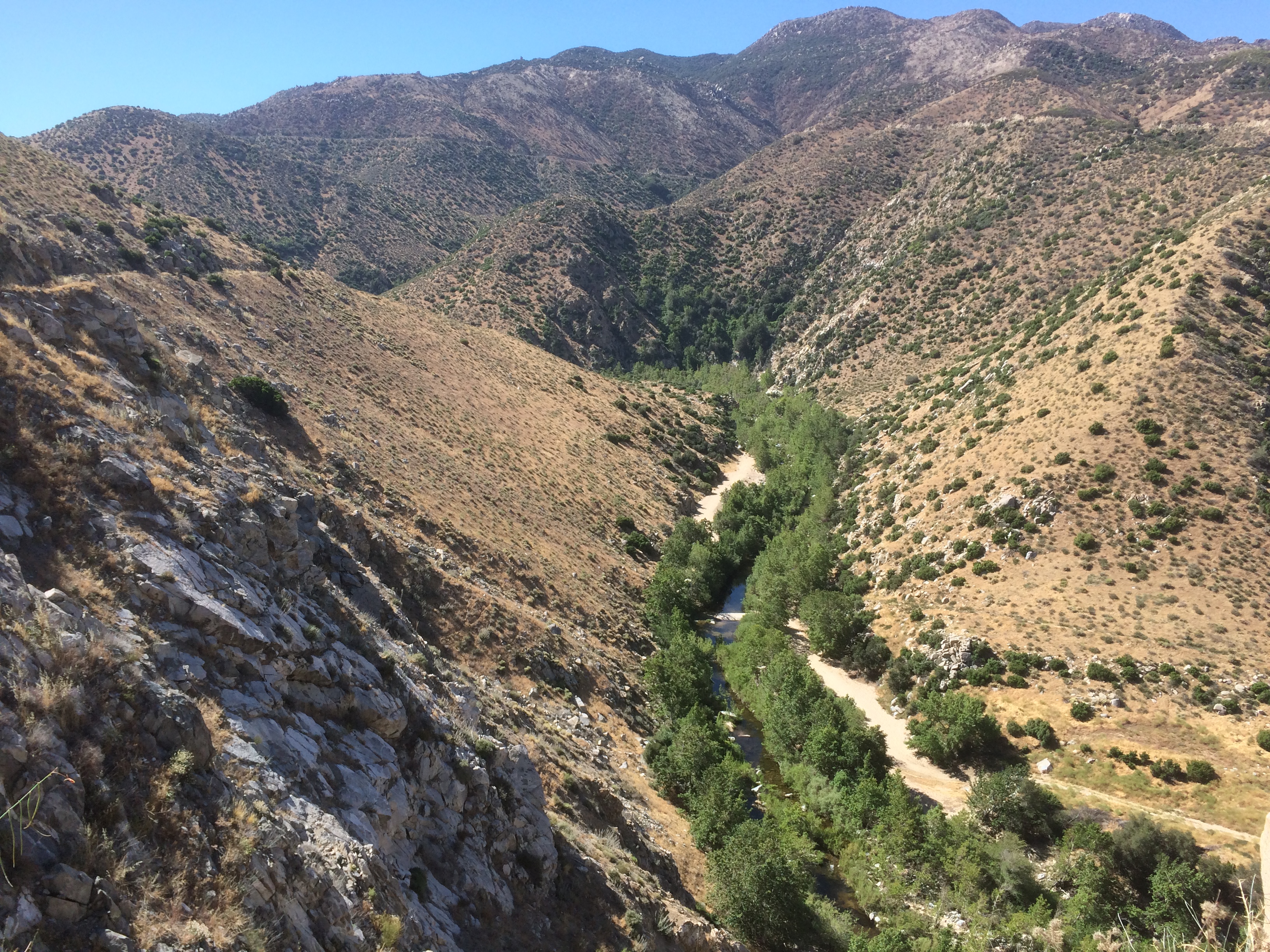
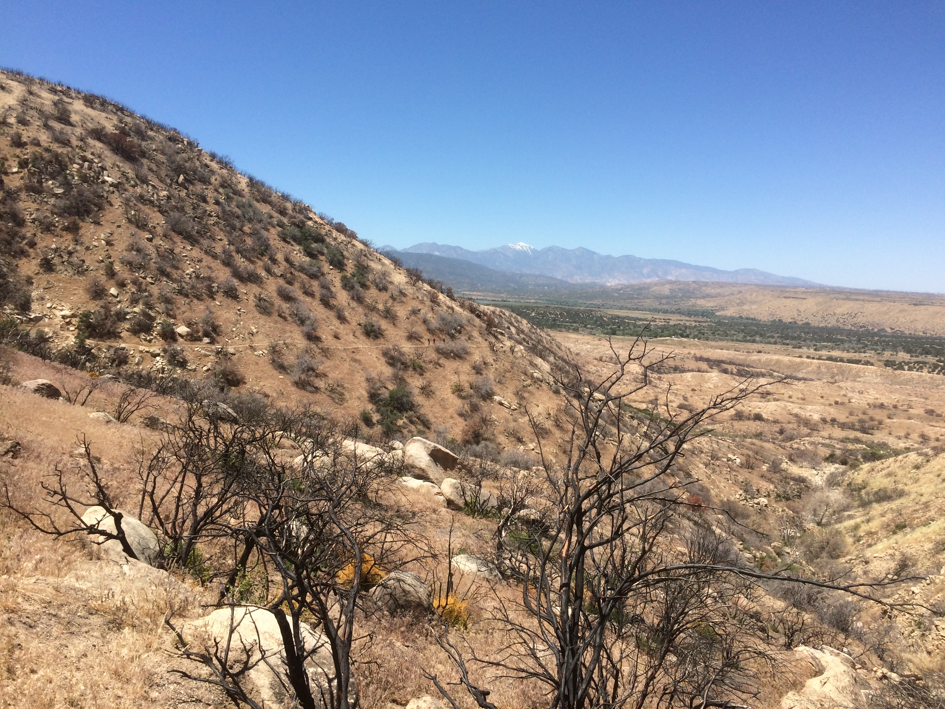
The ground was flattening out, here is a last look up the valley we walked through.
Ladyback stayed there to wait for her friends and I carried on to have lunch with Fire Ranger in some wetlands below the dam. Got the low-down on how he earned his trail name. Fire Ranger is a newly graduated Civil engineer from Fresno. Apparently in Idylwild, a group of super stoned folks built a huge fire in the campgrounds. Fire Ranger got things back under control, filled up a gallon jug of water, and instructed folks on the proper way to put the fire out. He said later that he kicked apart some recently made fire rings on the trail. Seems the name fits.
Walked another mile and hit some welcome trail magic from Chiapet. She did the PCT last year and was traveling North to start a season firefighting job. She was handing out PBR’s. Got a pic of the Frenchies + Fire Walker enjoying America’s finest beverage.
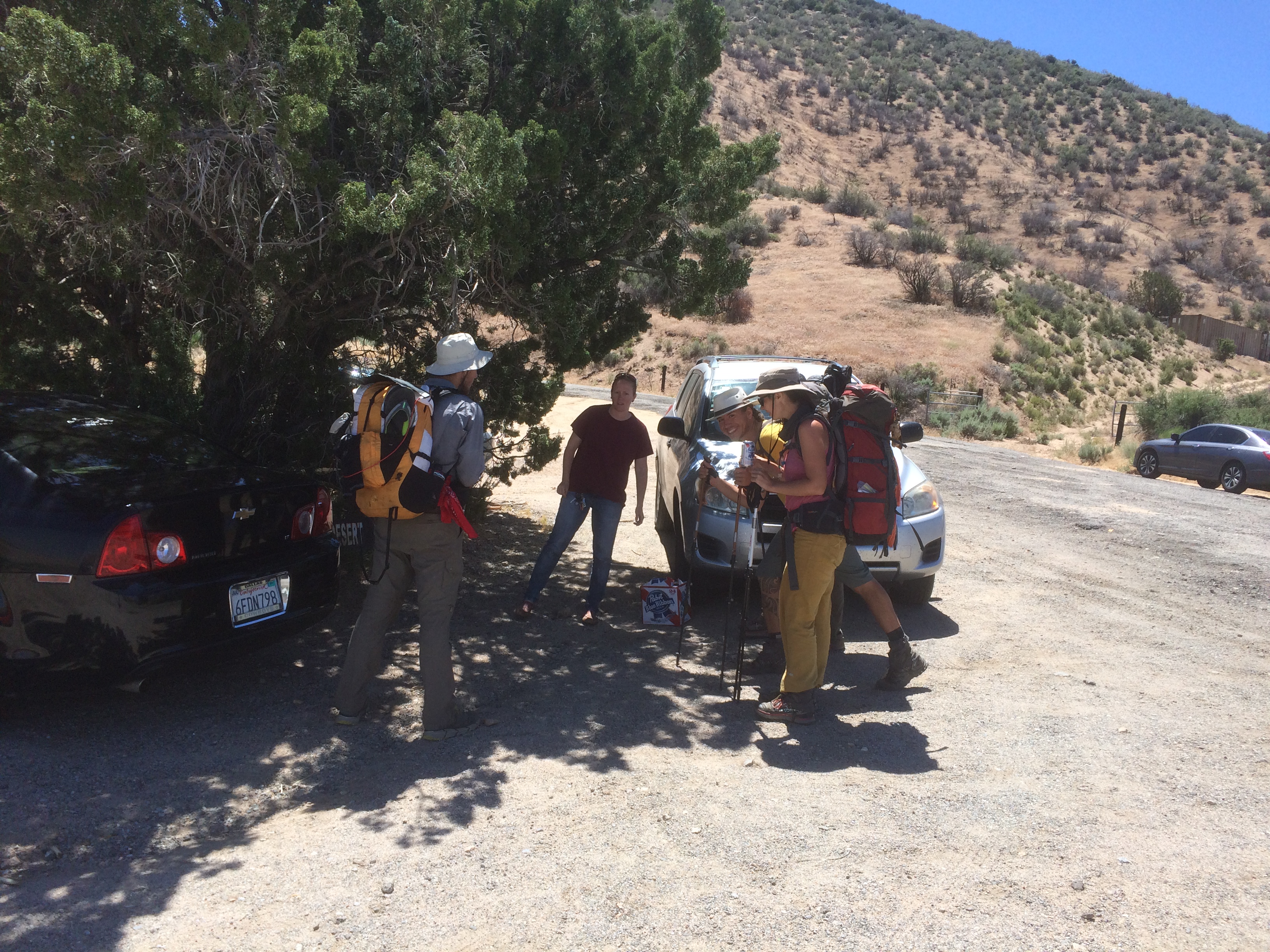
I don’t know why, but PBR keeps showing up on the trail. I’ve yet to figure out how it became the official beer of the PCT, though cost seems to be the driving factor for any consumable on the trail.
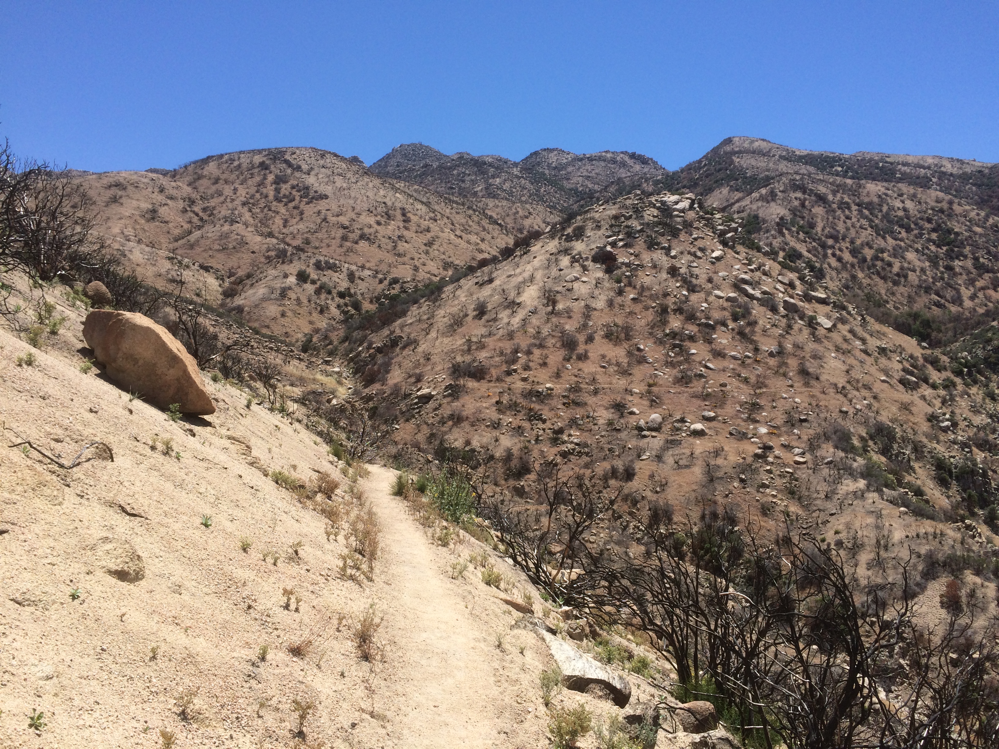
Next segment was back to the usual high-desert ridge walking with a twist. The whole place burned down. There were a ton of wild flowers, which was nice. Wasn’t wearing ear buds, so I could hear a constant hum of billions of bees doing their bee thing.
This snow capped mountain is the next destination. I think it is Baden-Powell.
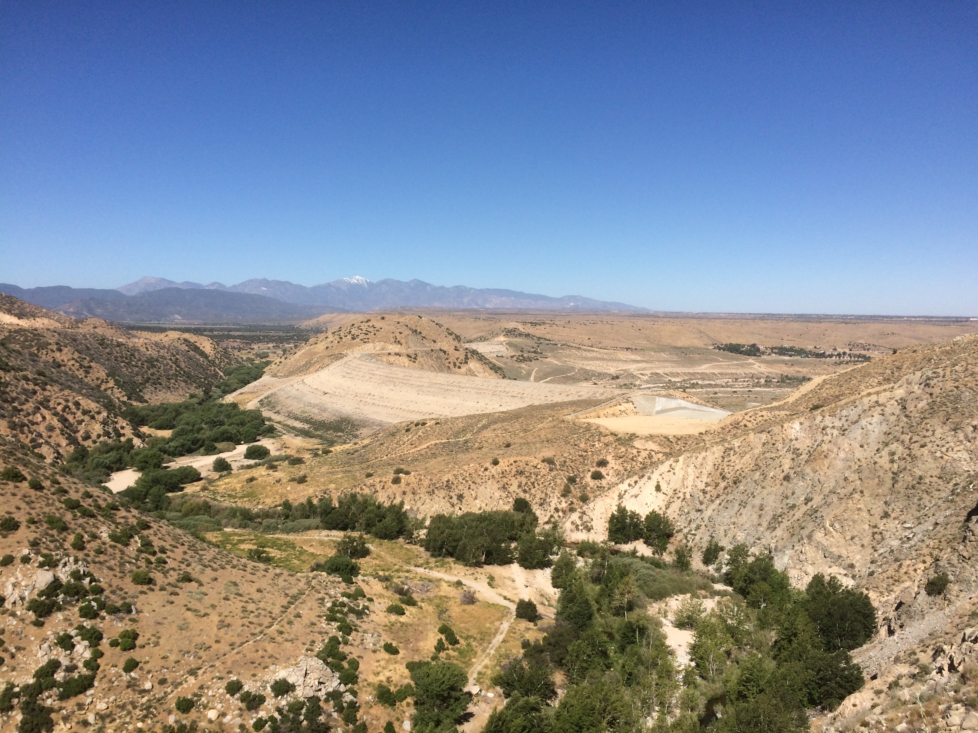
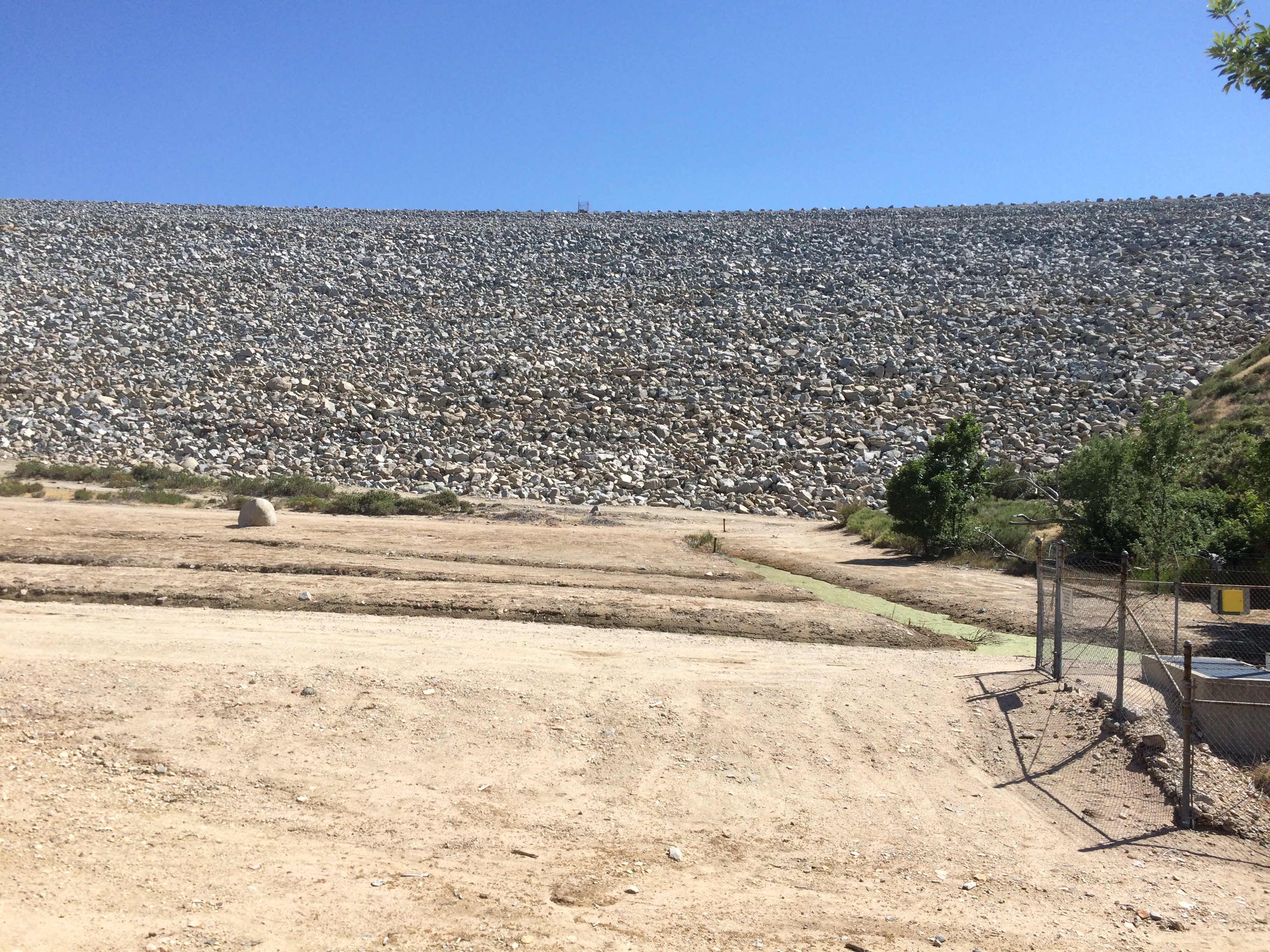
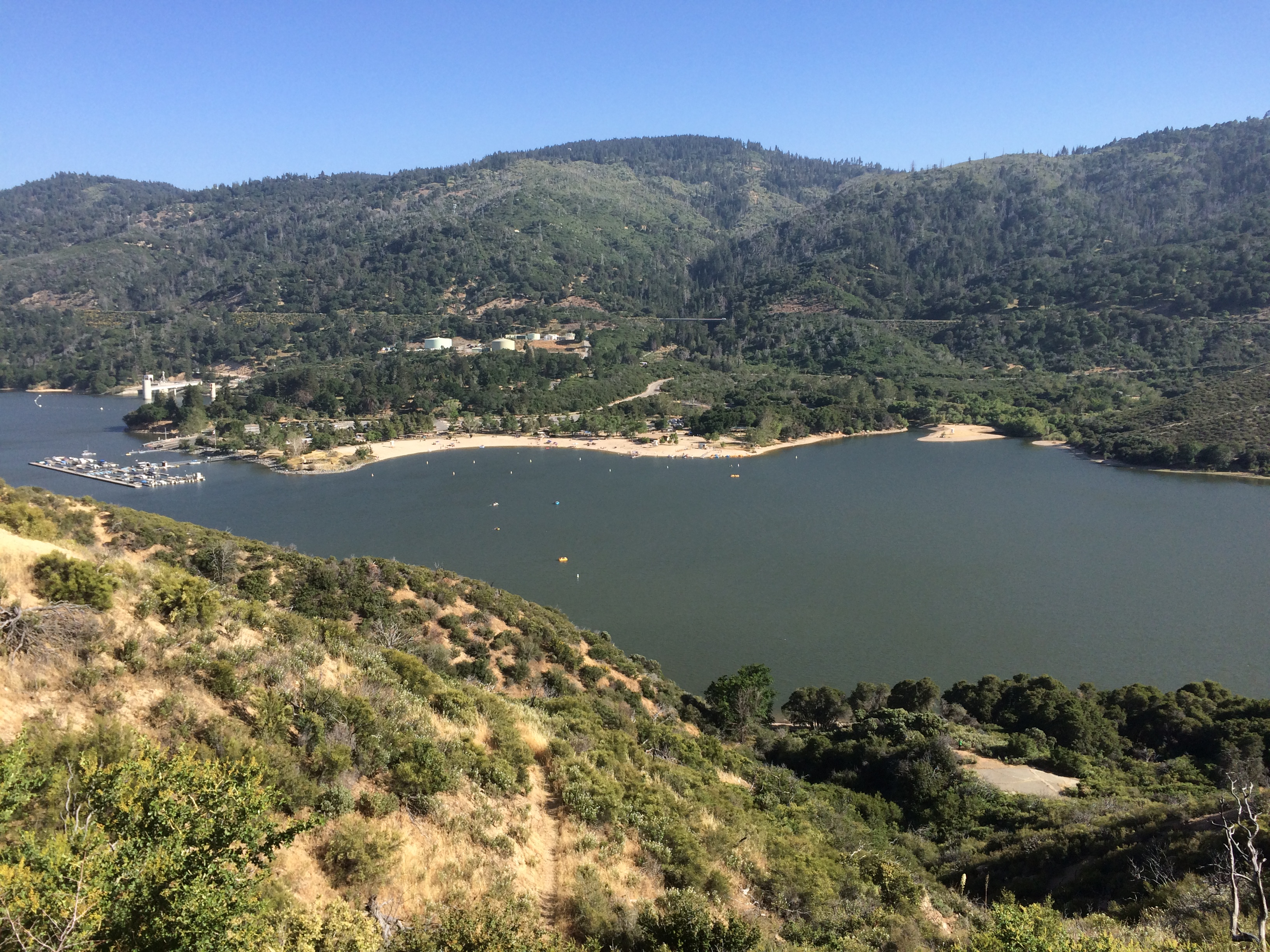
Wasn’t sure what this dam was for, found out later it is silver lake’s dam. I think they are flowing Deep Creek (6+ miles back) through a huge underground pipe to fill this reservoir. There is a hydro power station near here. Big engineering project. Love it.
Hit a couple of climbs then dropped into Silver lake at about mile 324 ish. Walked the ridge line around the lake for a few miles. This lake is huge.
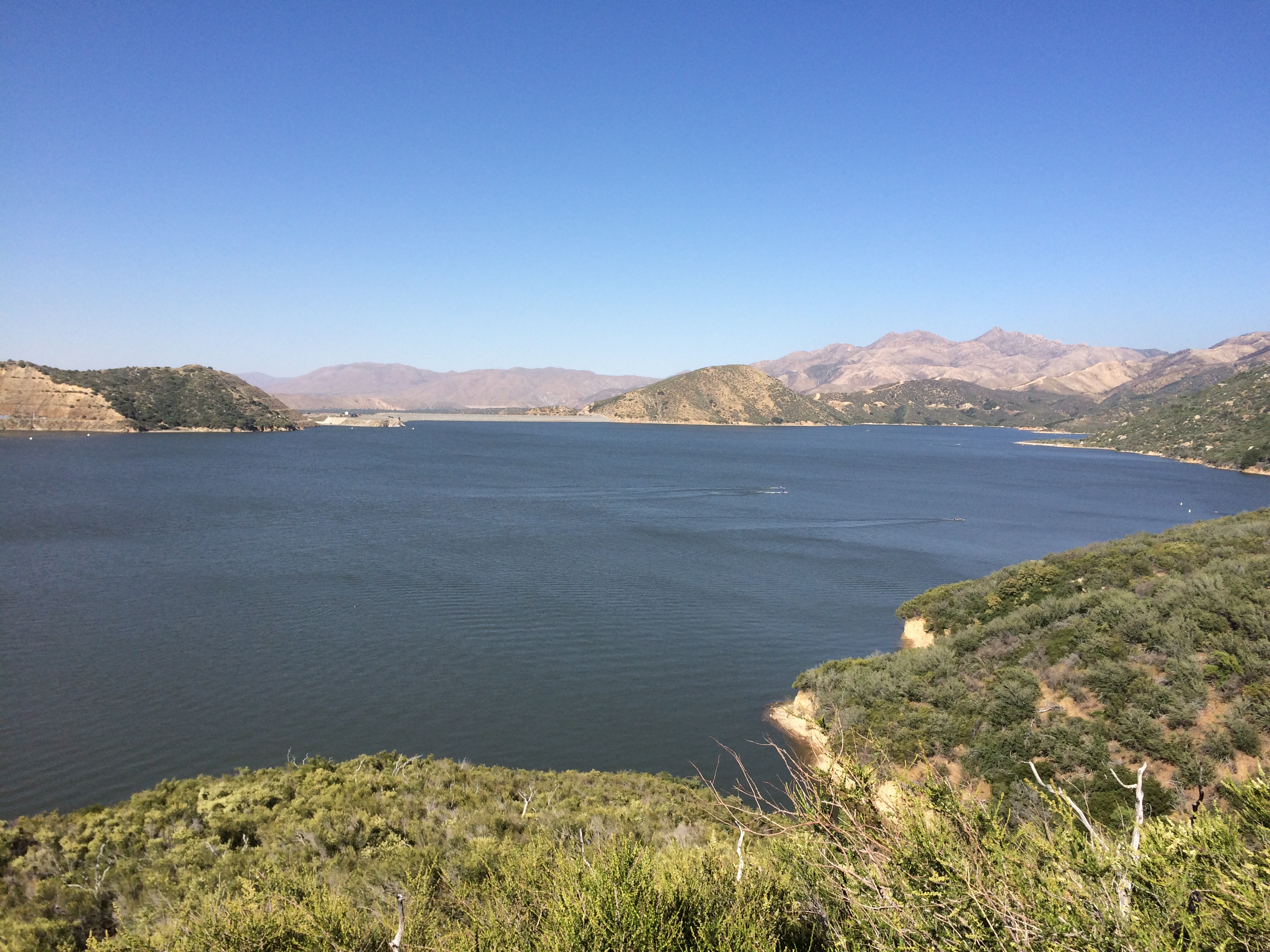
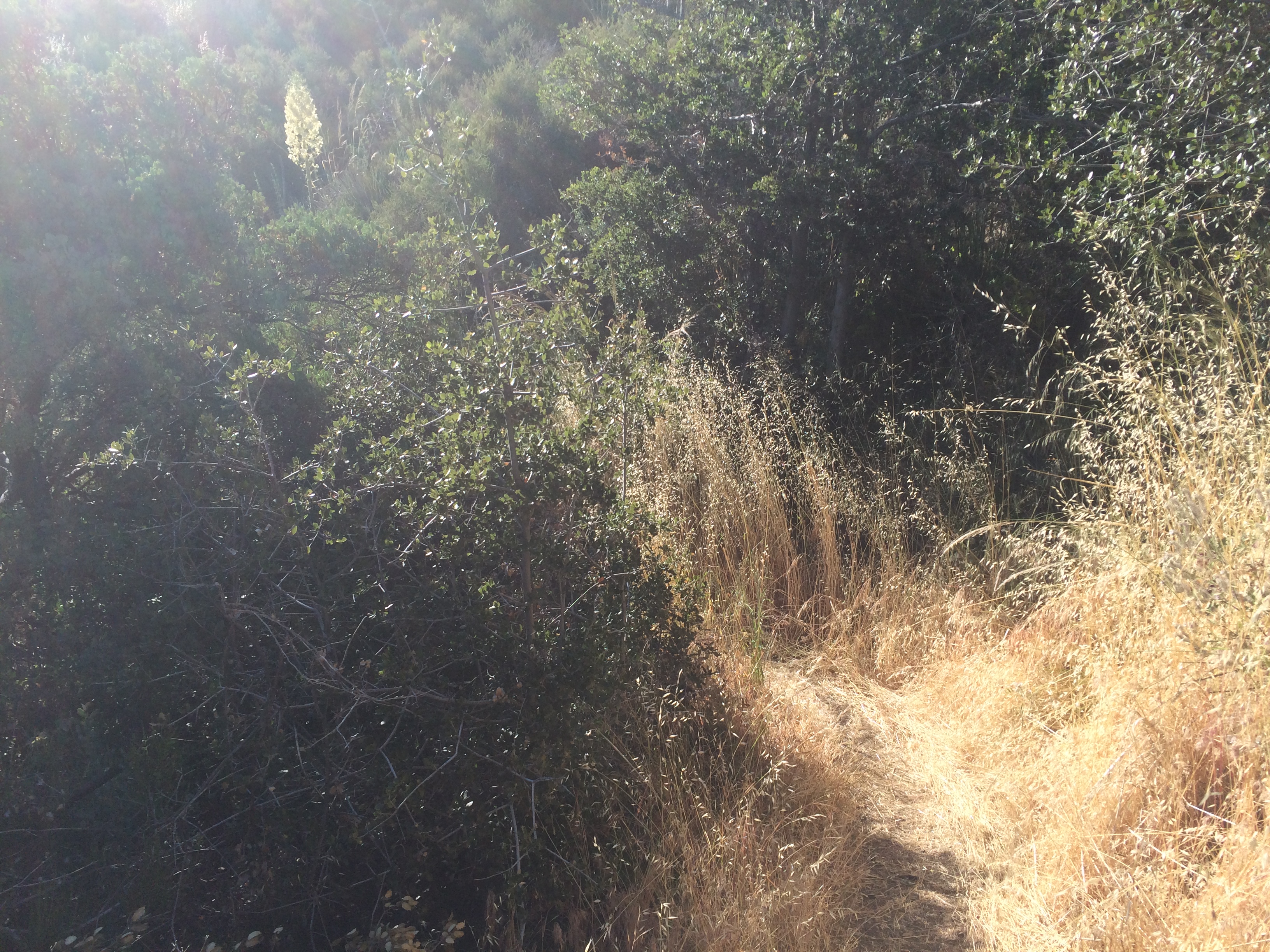
Saw a bunch of small sandy beaches with hikers in/out of the water. The walk seemed to go on forever. The trail here is pretty overgrown. Some bits I just put my head down and crashed through all the oats, wetland grass, and bushes.
I arrived at Cleghorn Campground to be reunited with a bunch of past hiker buddies. Blue, Jonathan and Drew seemed to be deep into their second 6 pack of IPA’s. Turns out you can order pizza and they’ll pick up some beer as well.
Vipr, Fun Dip, Josh, Wing It, and I all went in for a couple large pizzas. I ordered a 6 of modelo and a 6 of the IPA. Instead we got the modelos and a 12 of lame-ass PBR again. I’ll never escape that stuff apparently.
Anyway, lots of drinking ensued. The Pizza guy kept showing up with more deliveries + carrying around a cold order for some hikers he couldn’t find. It was funny. He said he was carrying those pies for over an hour.
As it was getting dark, we were informed that could not camp in the picnic area. Guess with mothers day coming up on Sunday, nobody wanted a bunch of hung-over smelly hikers spoiling the family fun.
Folks were going off in all directions trying to find a hiding place to camp. I finally just put on my headlamp and started night hiking. Did another 3 miles before finding a flat spot on a ridgeline to camp at 11 or so. Somewhere around mile 330. Too tired to setup tent, just flopped on the ground with my pad and bag. The moon was bugging me that night, it was crazy bright.
With the night hike I did almost 25 miles that day. Whew. McDonalds comes next 🙂