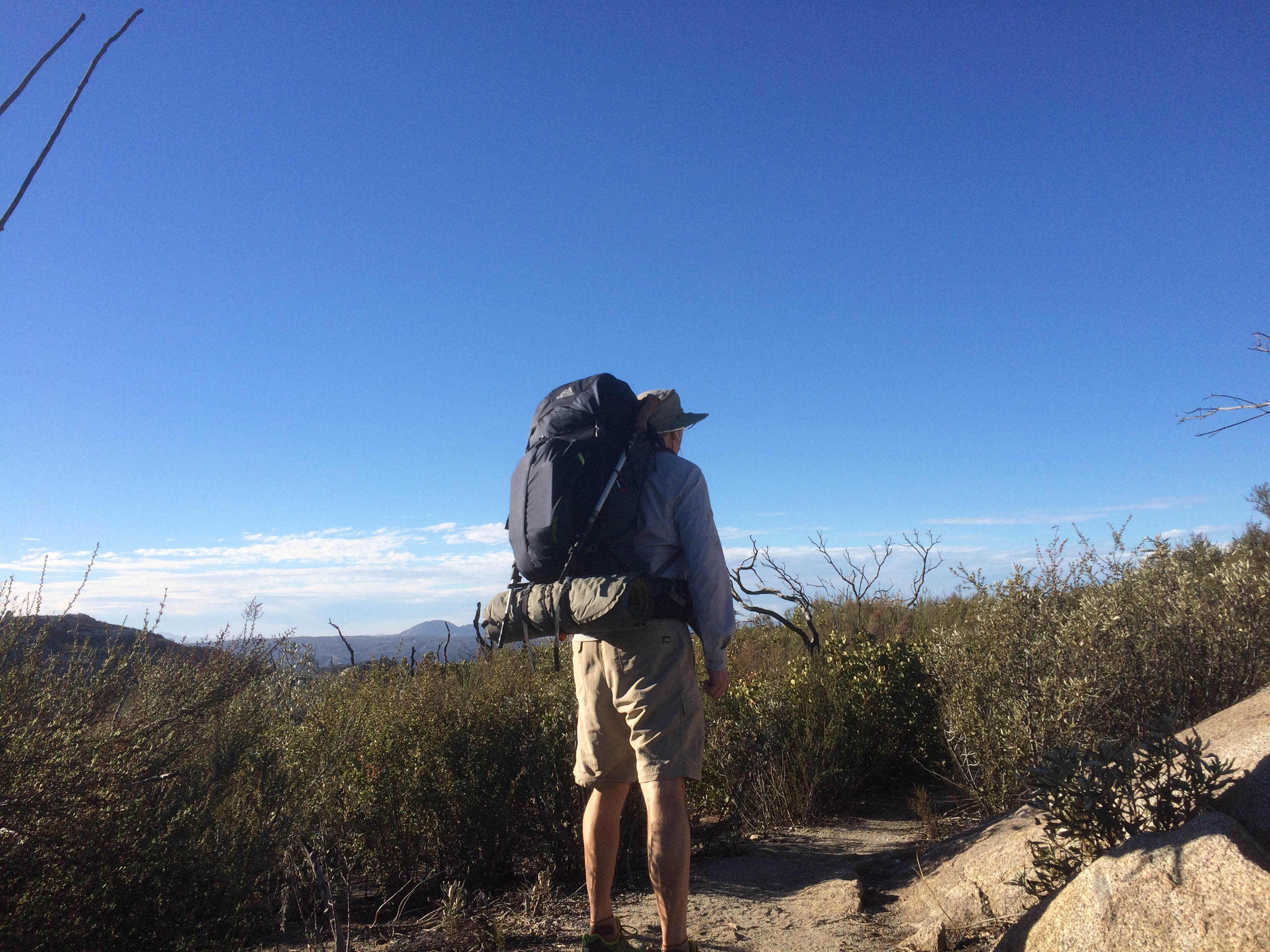
Up at 630. Made some breakfast, charged my electronics, and on the trail a little before 8.
Made great progress for the first half of the day. But I could feel a nasty rash developing all over my butt. It kept feeling worse and I was getting concerned. Stopped and took a pic to see how bad it was. There in 5 megapixel glory was my super rashy, red Ass. I’ve included a pic below. Just kidding. Anyway as an after thought, I packed a set of light weight running shorts just to have a backup while in town. I put those on underneath and the problem was solved. Whew!
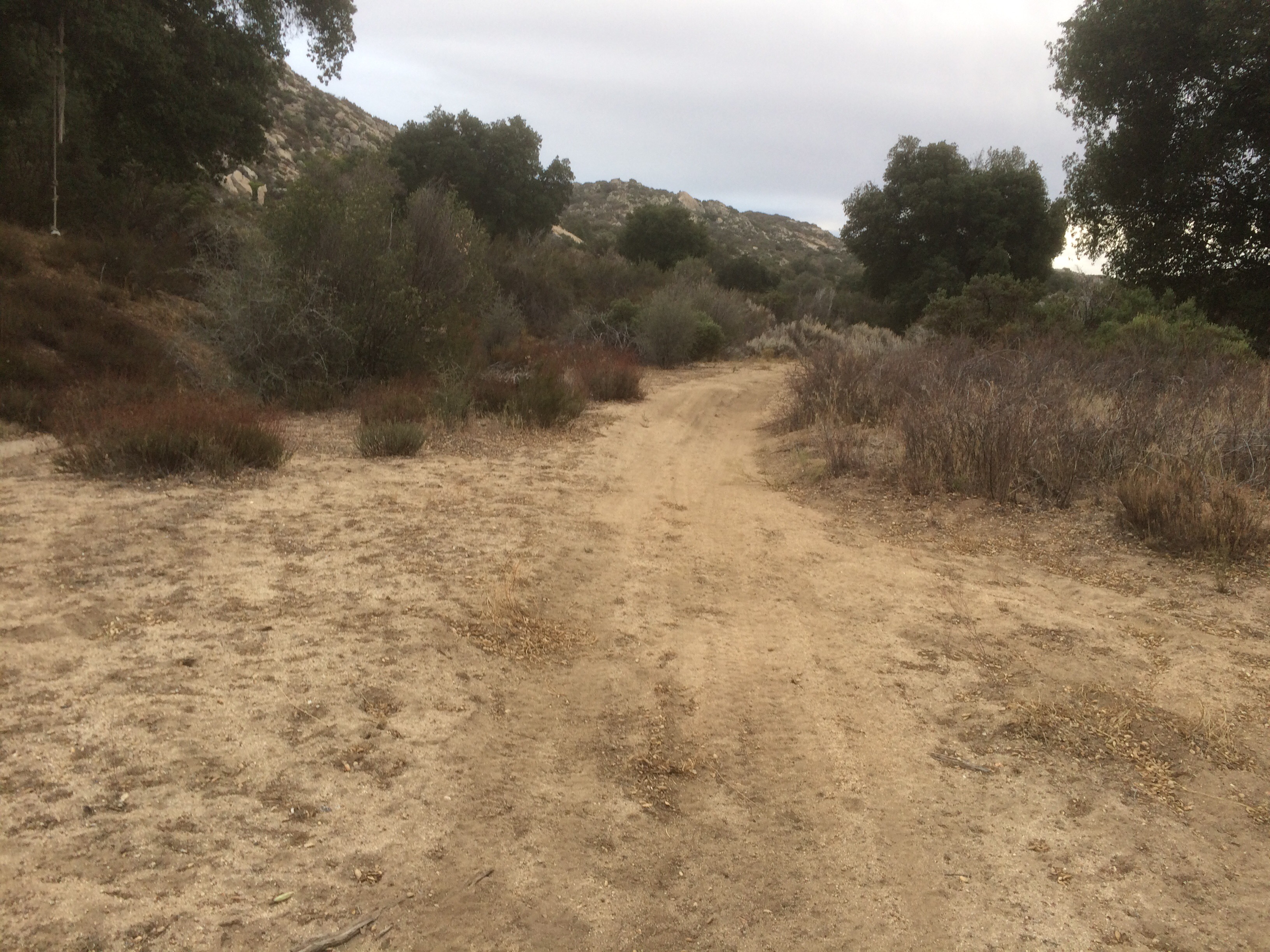
Dropped into a canyon at 12. Nice and shady on the way down.
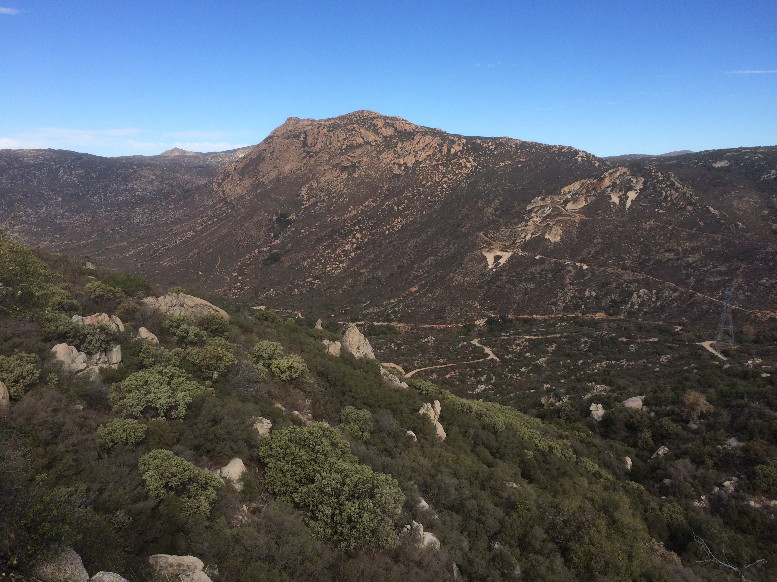
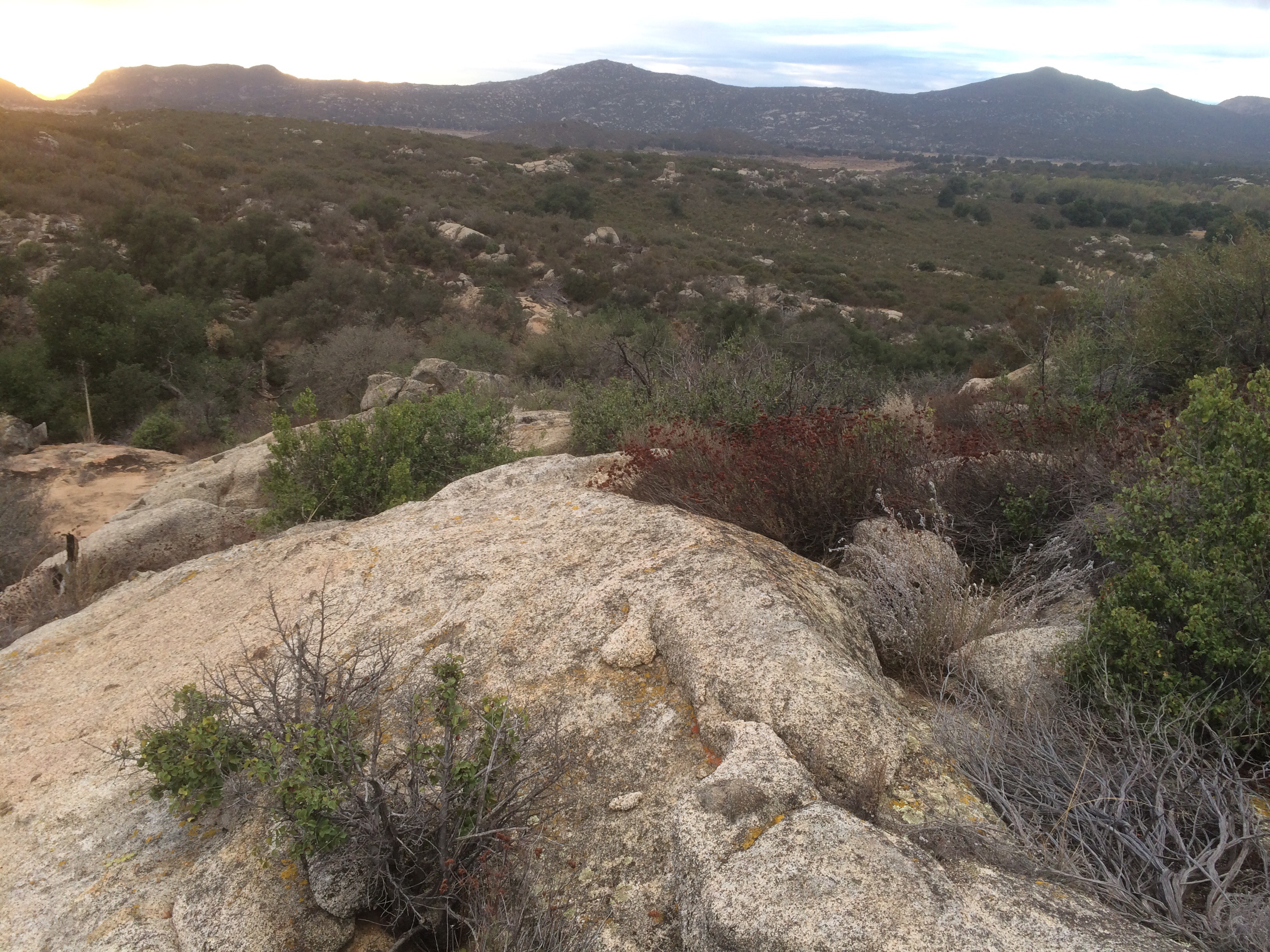
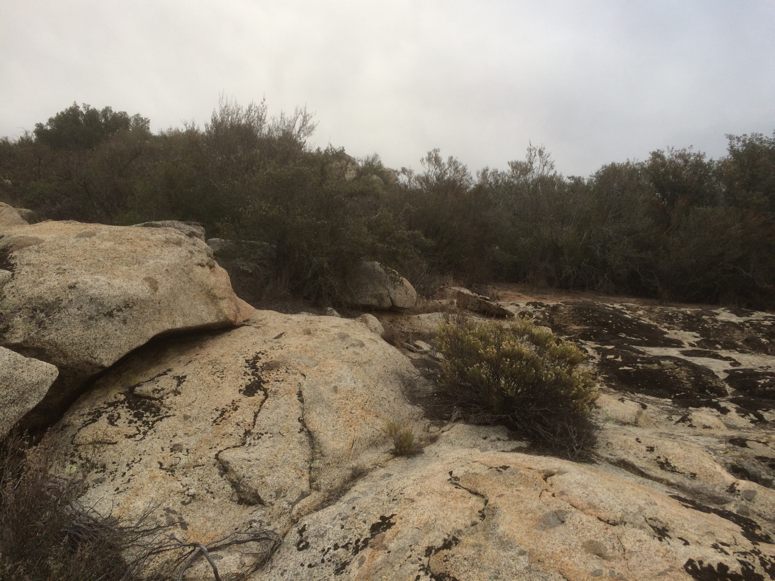
I was bumming a little thinking about the exposed climb ahead of me. It was around noon and though the temp was a nice 70 f, I knew it was going to be miserable. Near the bottom, I came across a nice platform of boulders and sitting next to them was this:
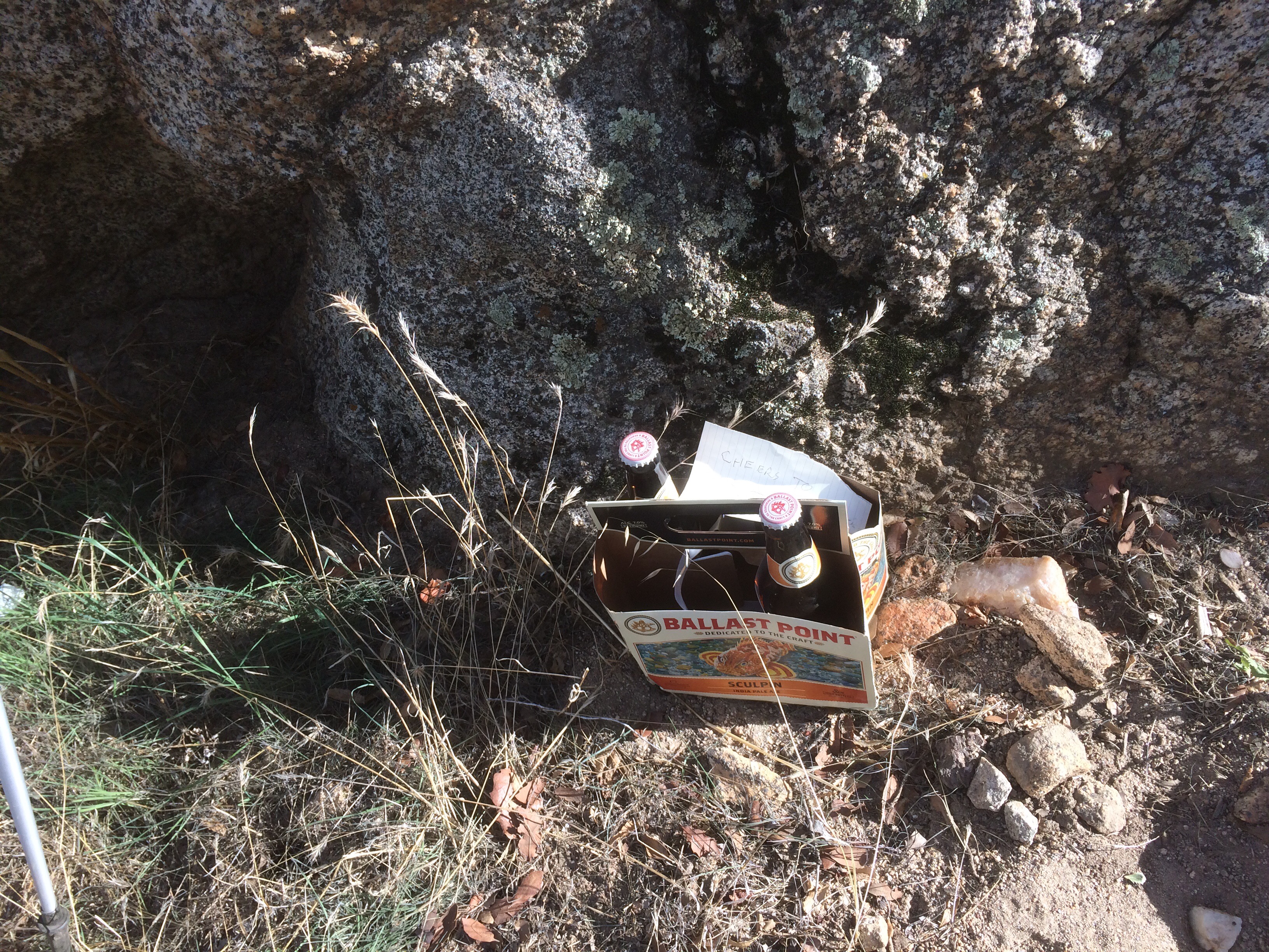
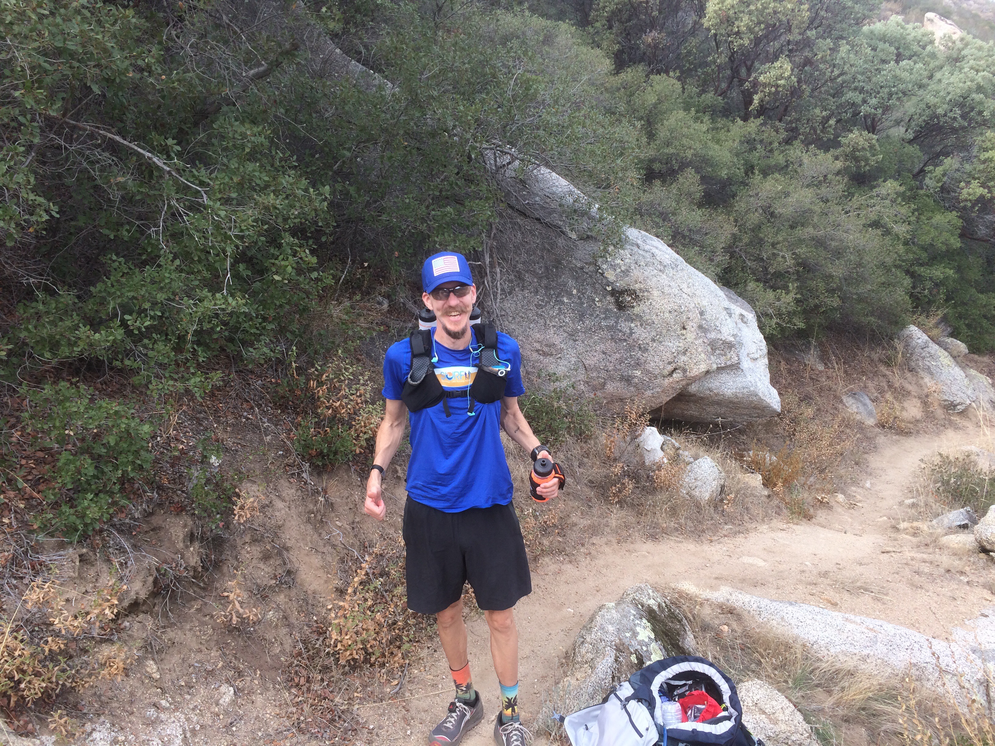
TIme for lunch. Munching away, a trail runner stopped by. Surprise, it was Tim, the guy I met last week when I was dropping water on the trail. Small world. He and I chatted for 30 minutes while I ate and drank my suds. He gave me some pointers for the next 20 miles then took off. The guy was doing an 18 mile run. I give him a 9 on the stud-scale.
Walked to Lake Marino’s town store, cafe, liqour store and had an awesome burger. Wish I would have taken a pic, but I was a starving. Nice folks there. Grabbed some water, gatorade, and a couple of candy bars then headed back to the trail out of town. I keep thinking about that $20 I found. It is bad Karma to spend it, so what to do?
Listening to the Best of Pearl Jam, I was making great time on this flat sandy soil. After 45 minutes or so I stopped and chatted with 3 folks riding horses. They departed with “Enjoy your walk”. I walked on for another 5 minutes but kep thinking back. Everyone I met on the trail ask if I’m a PCT’er. These folks didn’t. “Enjoy your walk” hmm…. Better check my GPS and…Shhhiiiittt!! I’m almost a mile off the trail.
According to Halfmile’s app, I’ve gone generally 2 miles north on the trail, but .9 miles to the West of it. So I can either go back or try to find it. I’ll be damn if I’m going back, so East it is.
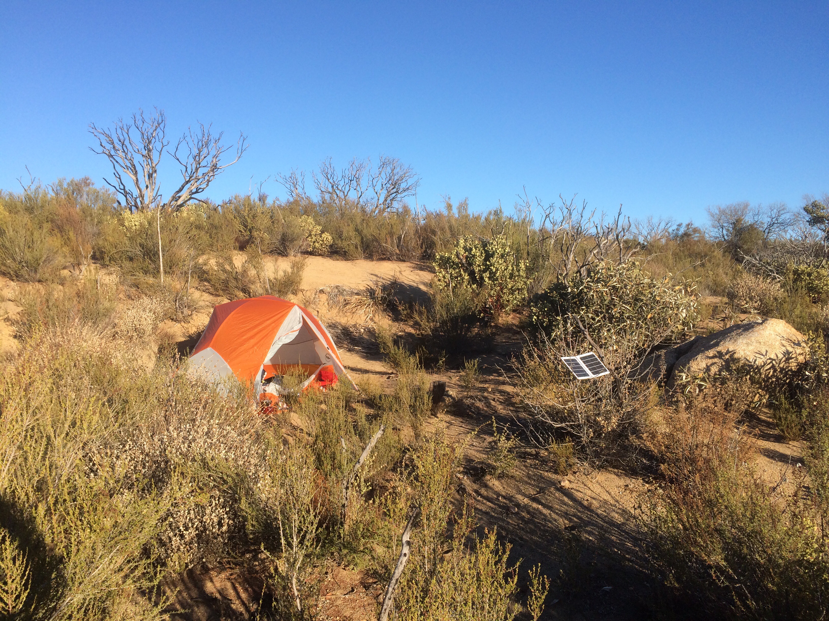
I turned on the compass function of Halfmiles app so it kept me pointed in the right direction. The only bummer is that I could visibly see my power dropping on my iPhone. The continuous GPS sucks alot of juice. I only have my solar panel, so if my iphone dies, I have to camp whereever I am until sunrise.
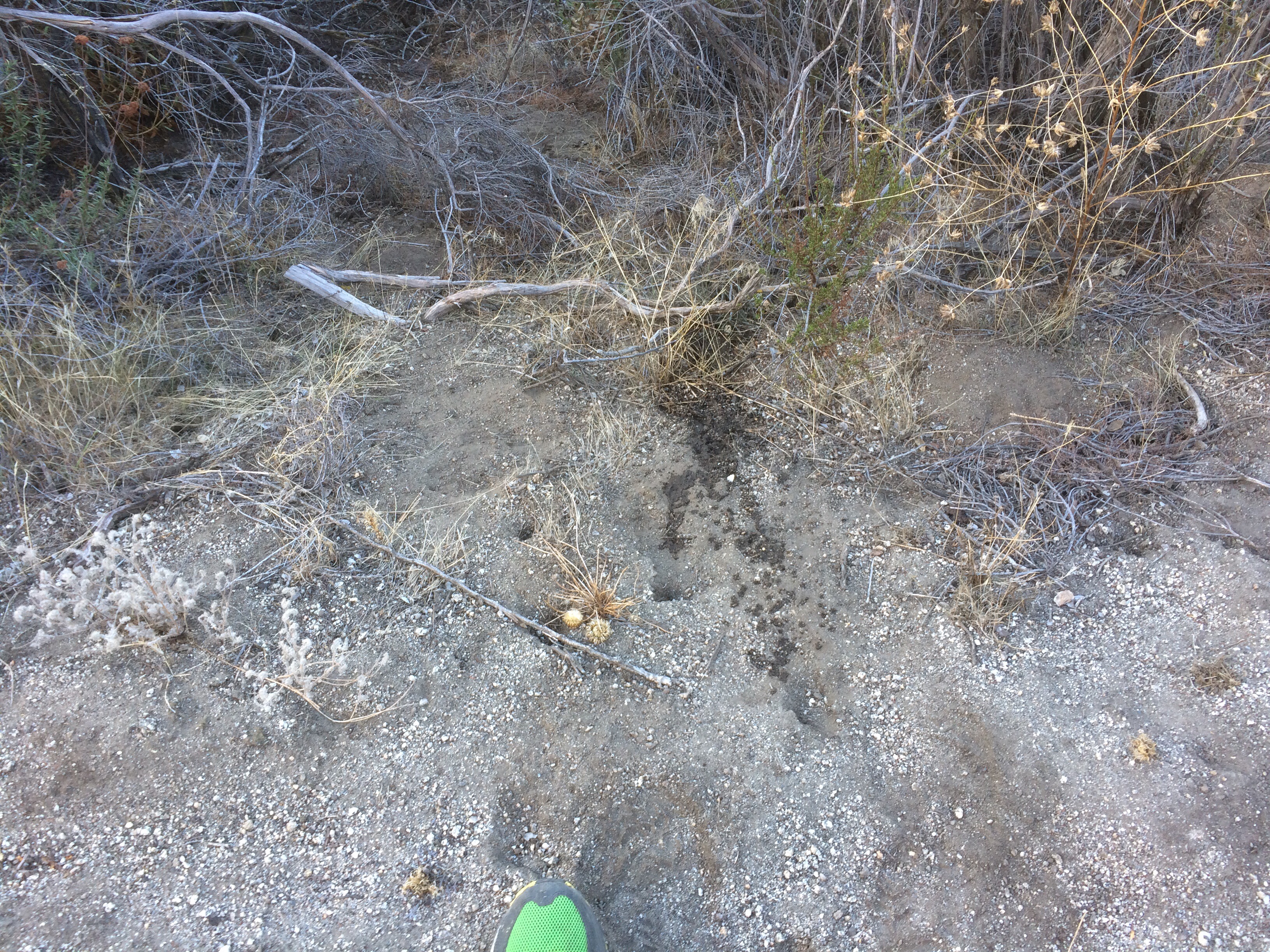
I followed some double track in the general direction, which turned into single track, then into a stream bed. That ended in a box canyon full of brush. Only .3 miles to go…. So I started bolder climbing up (maybe a hundred feet elevation gain) and finally got a glimpse of the trail.
Last 200 feet was a bramble of dried bushes and small trees. I just put my head down and crashed through. I stumbled out of the last bit and Halfmile App says I’m good. Battery says no more music tonight.
Got close to highway 8 and gave Alice a call. By then it was dark and had the headlamp on. Told her everything was fine, left out the bit about getting lost 🙂 Walked up to the ridgeline above Freeway 8 and made camp at a really nice site at Mile ~26. No pics due to battery restrictions.