Just a few drops last night, but lots of thunder. Woke up to 35 degrees and slowly made my way out of the tent. The mosquitos are still hanging on my bug net, but they’ve no energy. It is my time to fight back!
To be honest, I’ve been worried about this pass for a long, long time. I still have a bad memory of hiking with my daughter and her friends up to Glen pass (~12k) 10 years ago and getting a nasty case of altitude sickness around 11k. At that time, it was nearing the end of the day, I was dizzy, barfing, and felt achy all over. After a night’s sleep there, I woke up feeling even worse. We had to cancel the rest of the hike and head back.
In the back of my mind, I was thinking. Will this happen again? Am I drinking enough water? Will my head explode when I reach the top? Well today I find out.
Soho was ahead of me most of the way, but we kept pretty close together. I hike faster in the morning and he seems to be taking it easy.

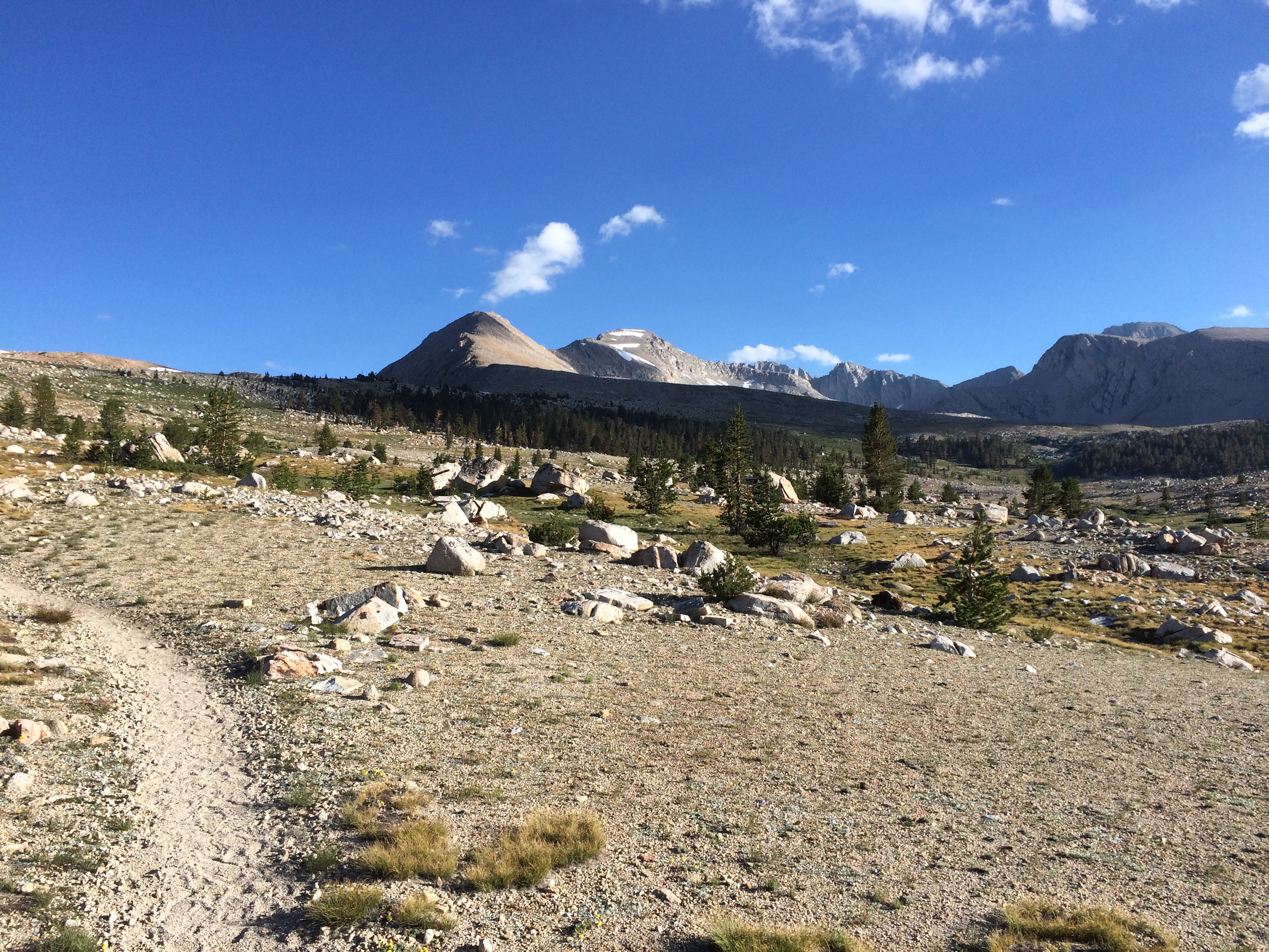
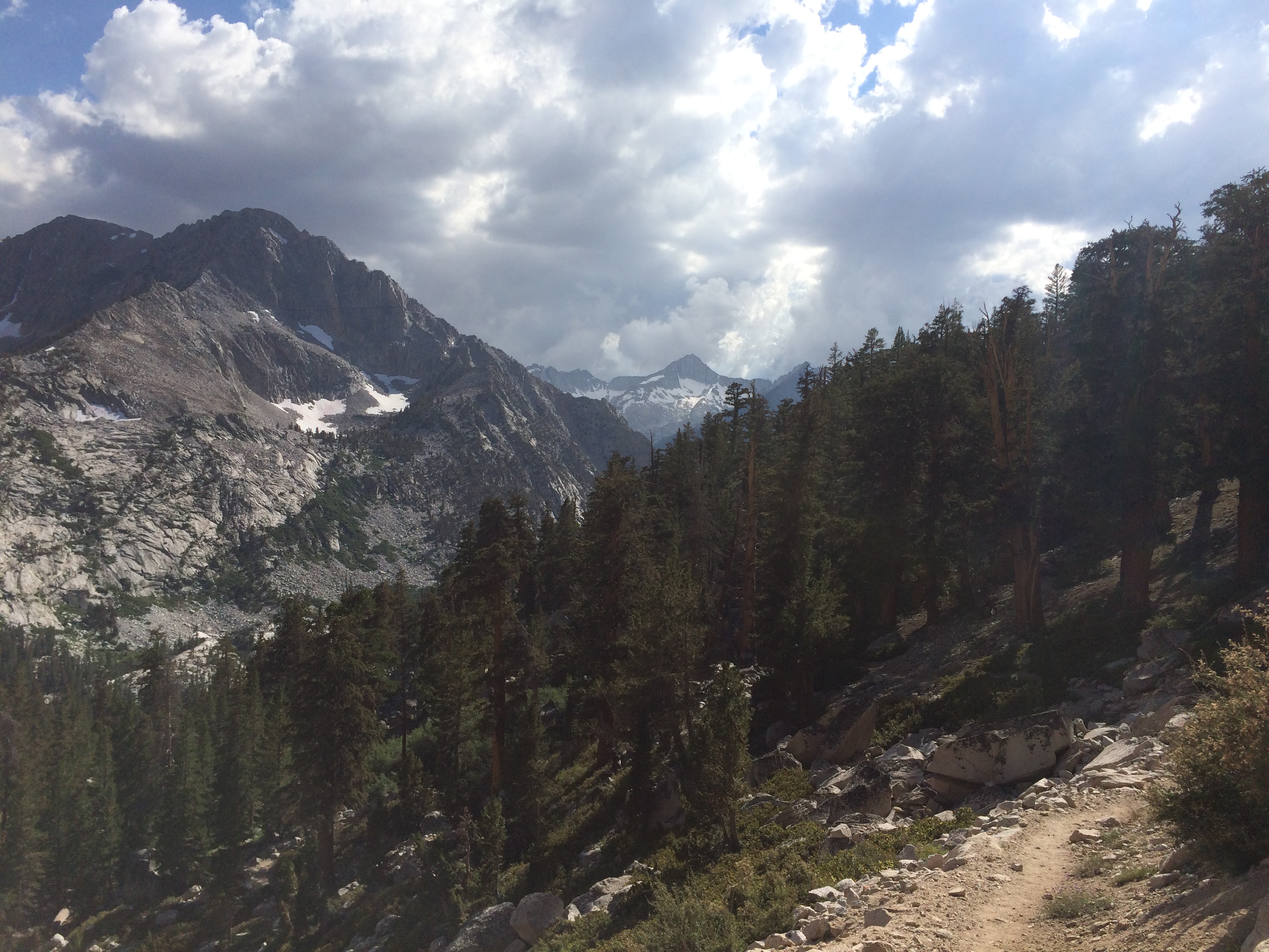
The approach climb is not too bad. Gradual climb across a huge valley. Here is a pic looking back.
I took a small vid of the area here
I saw Soho passing a couple switch backs above me. I yelled out his name. The mountains need to know his name.
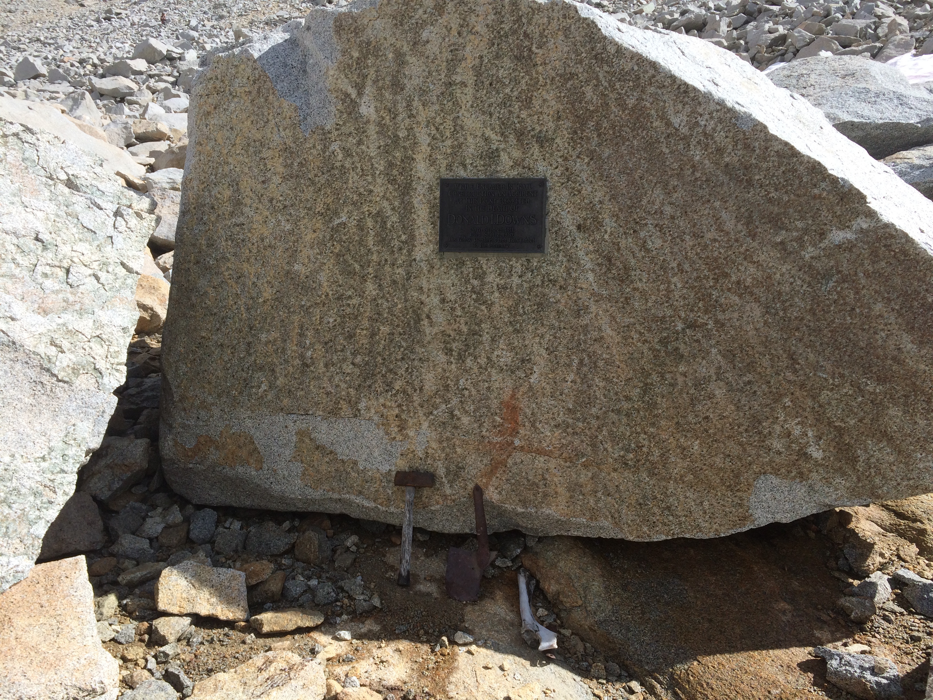
Along the way I passed a memorial to some kid who died making the trail. He apparently left his tools behind.
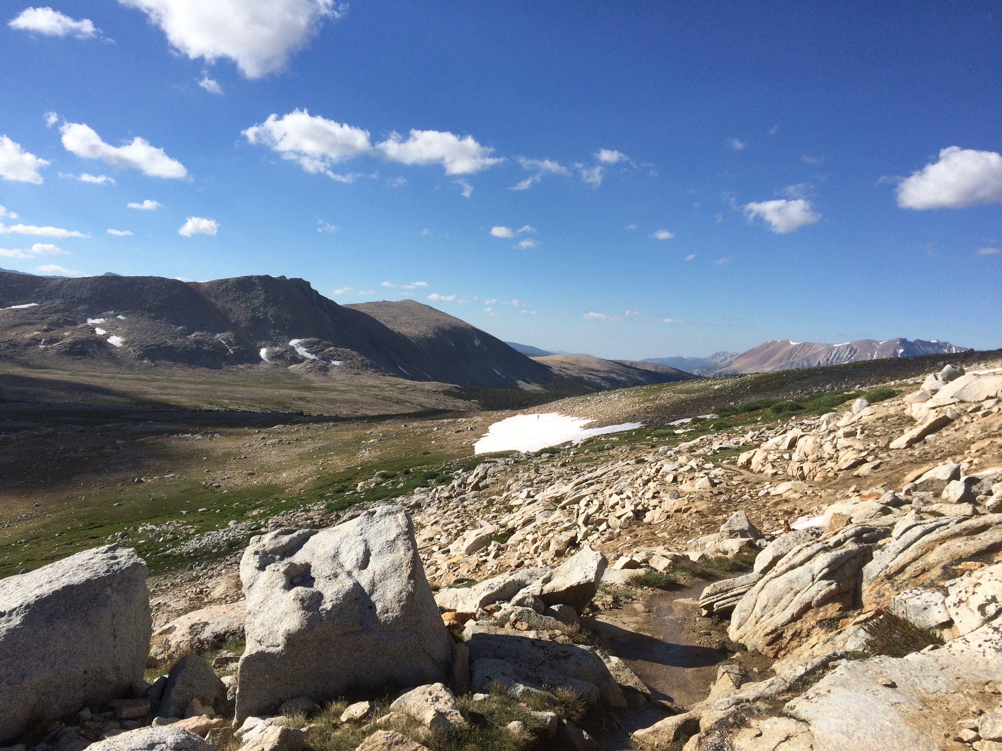
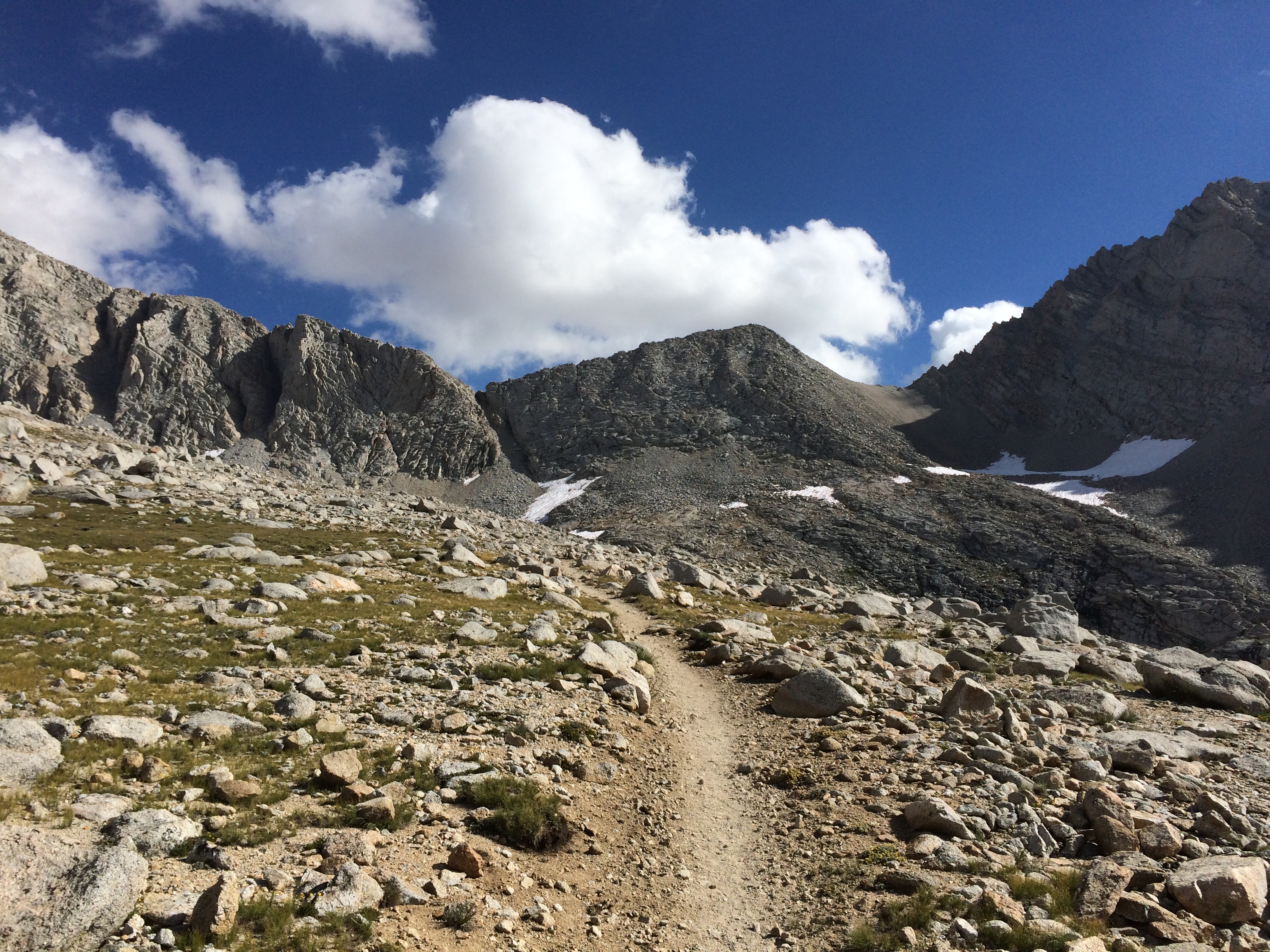
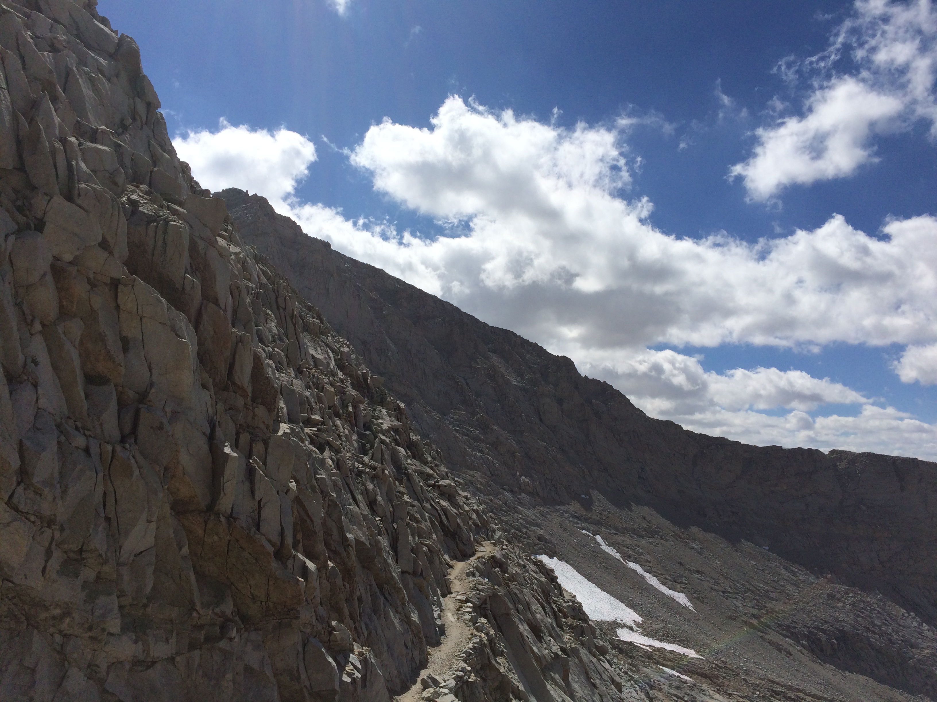
Getting closer

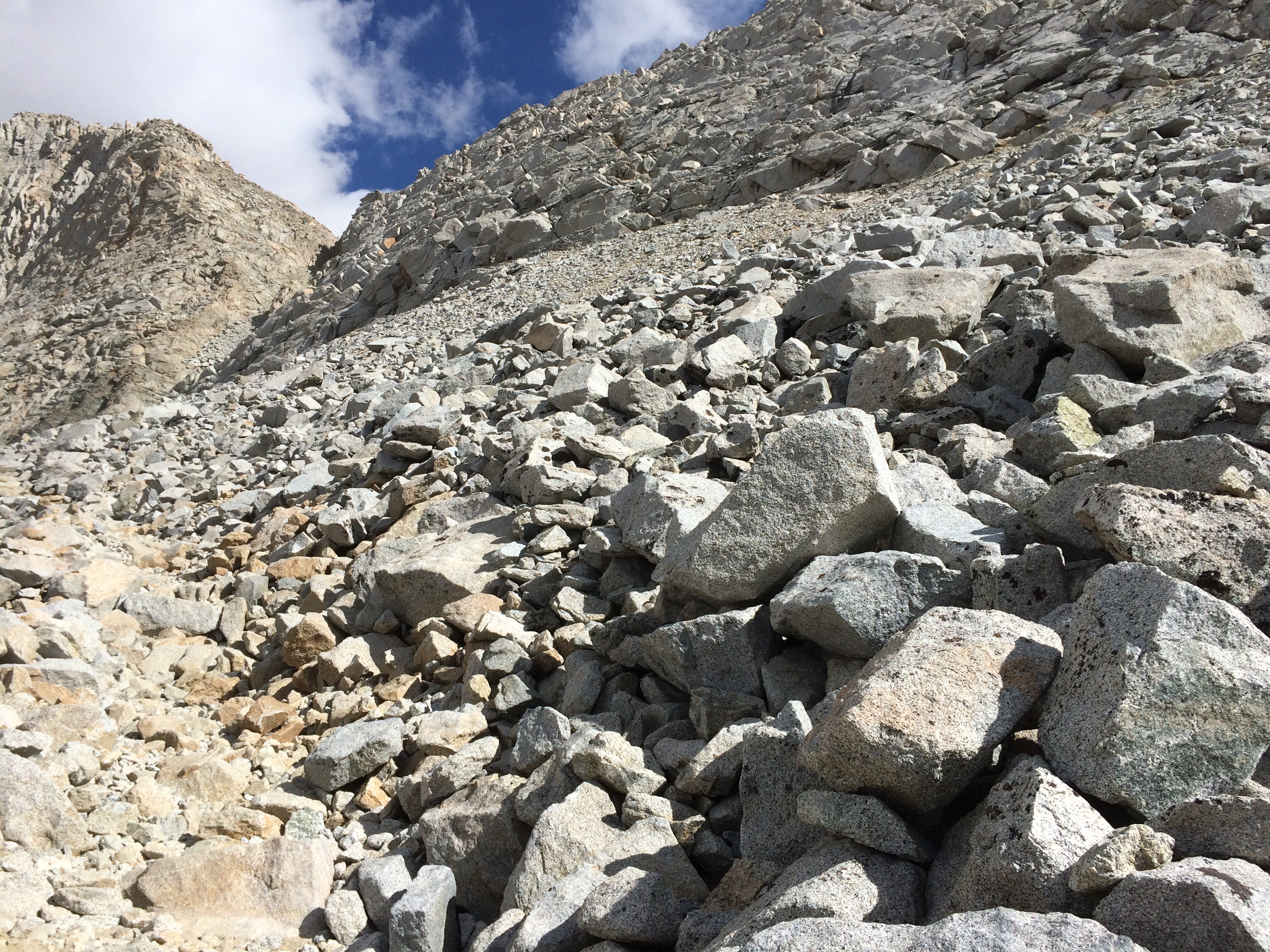
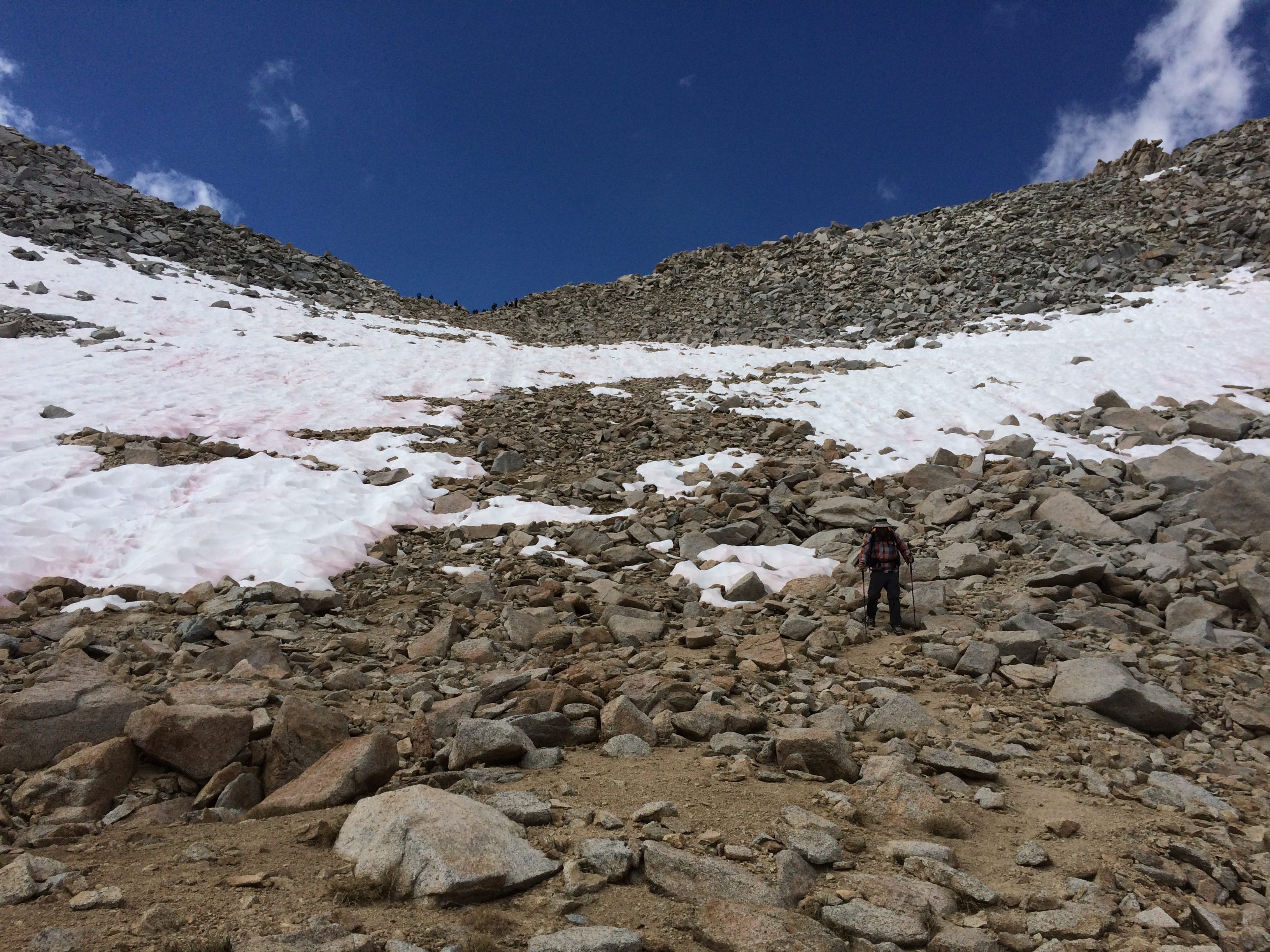
This is looking back over the infamous snow chute. I’m glad I didn’t cross this thing when the snow was covering it.
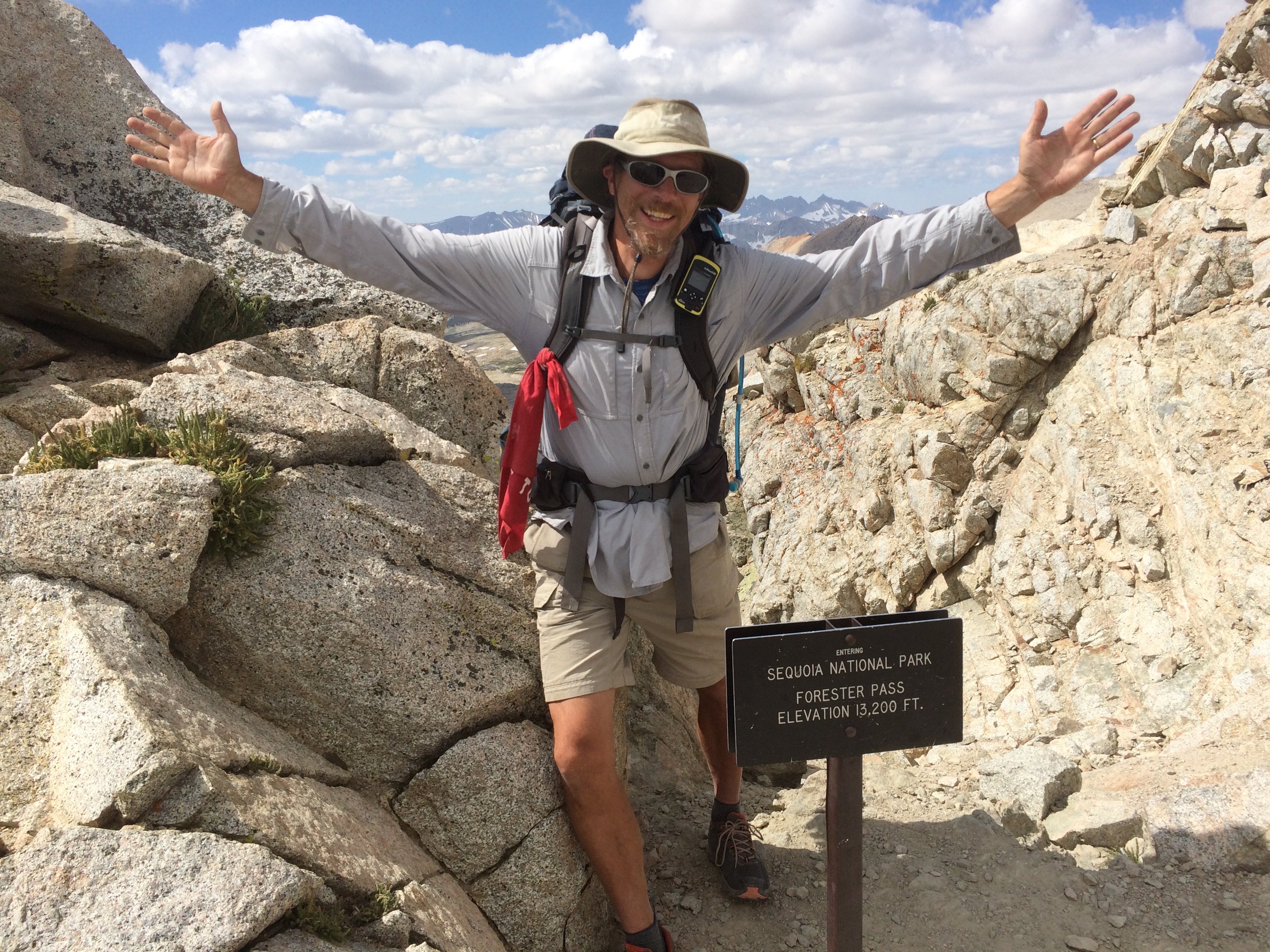
And….made it!
There was not much room at the top, but we found a gal who agreed to snap our photo. She managed not to fall off the mountain doing so.

And here is my celebration pic.
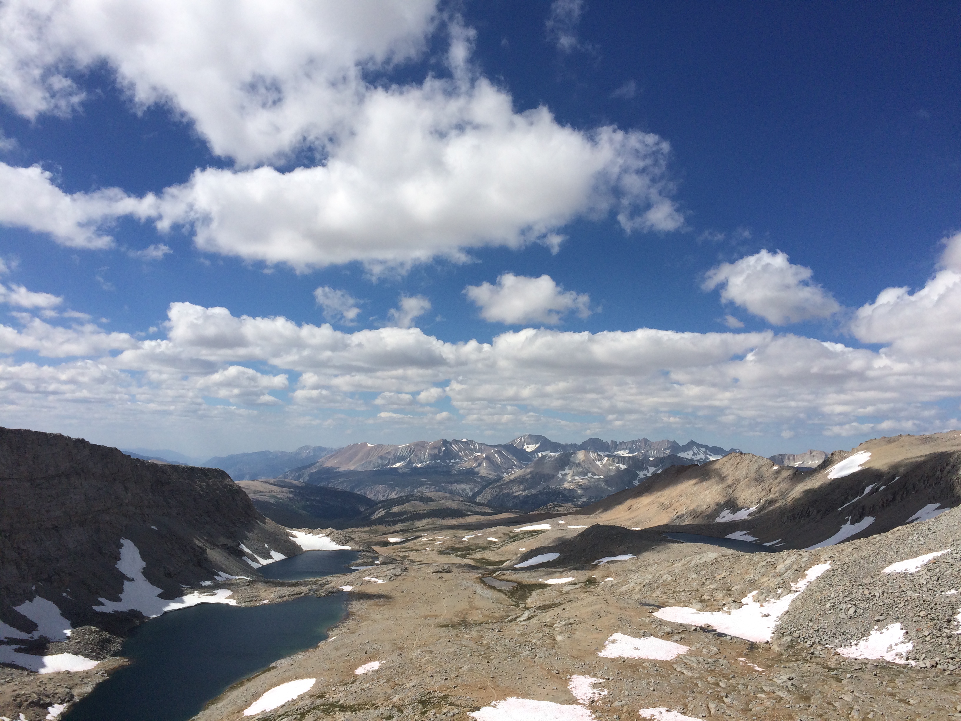
On the North side we had to deal with some snow fields. 3 of them were tricky with the first one being the hardest. A lot of folks were coming up a direct route, but it seemed that going down that was risky. We decided to take a side route. I took the lead through the snow and found some rocks to hop down. It was a tricky decent.
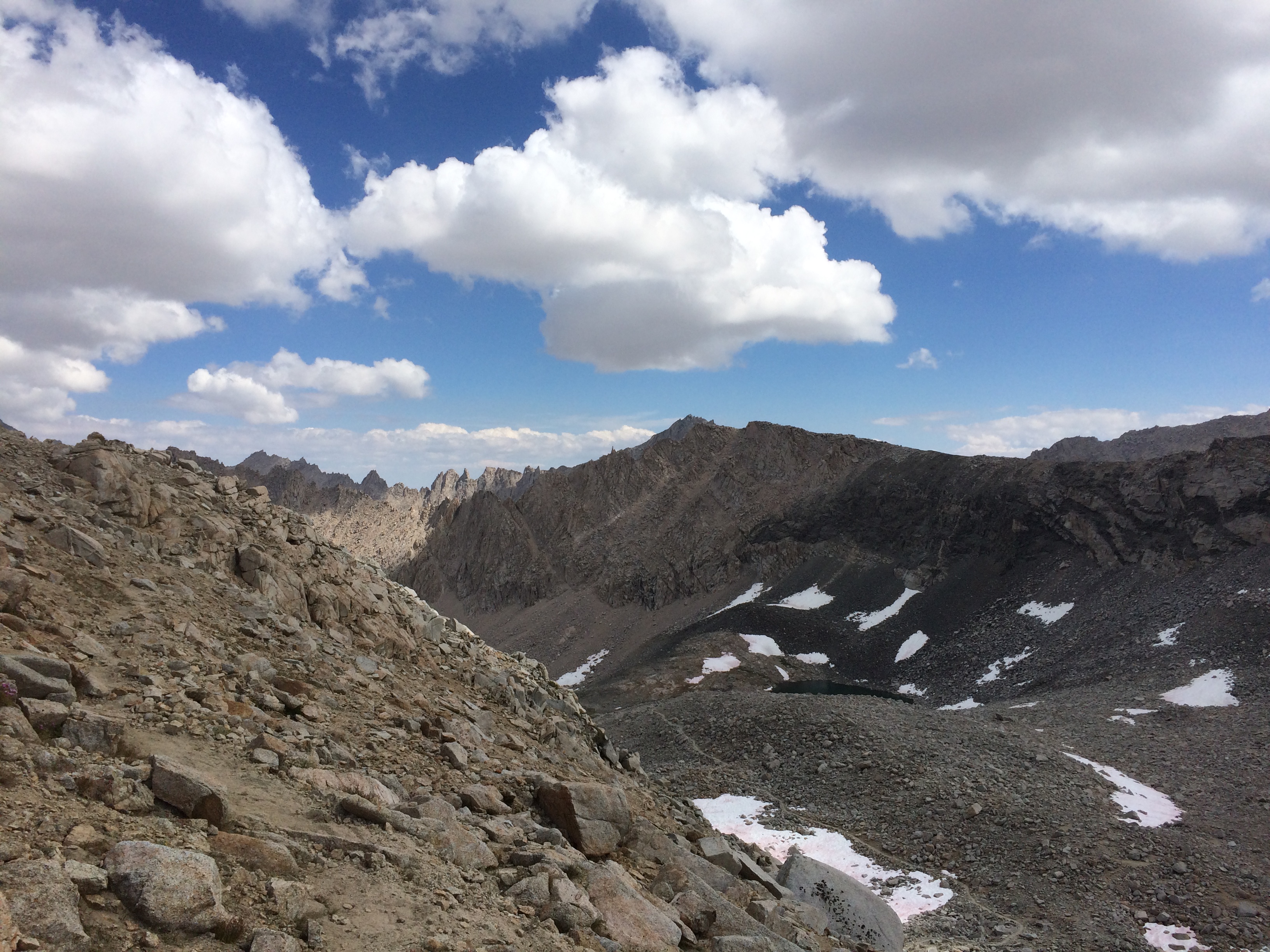

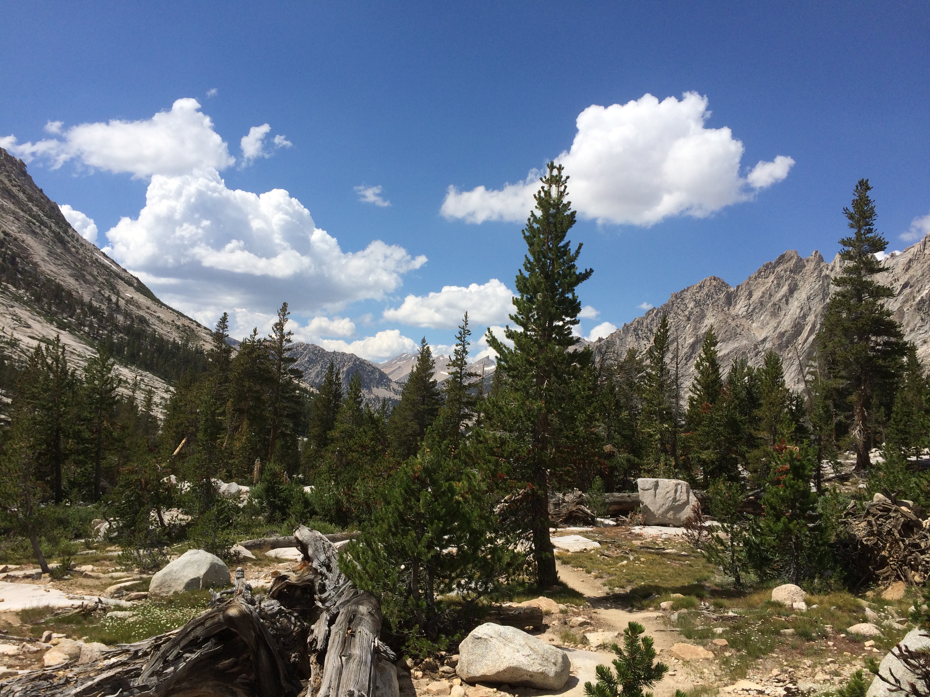
After skirting the snow fields it was a long, long descent into the valley. There are streams running everywhere, but the green doesn’t start again until 11k or so.
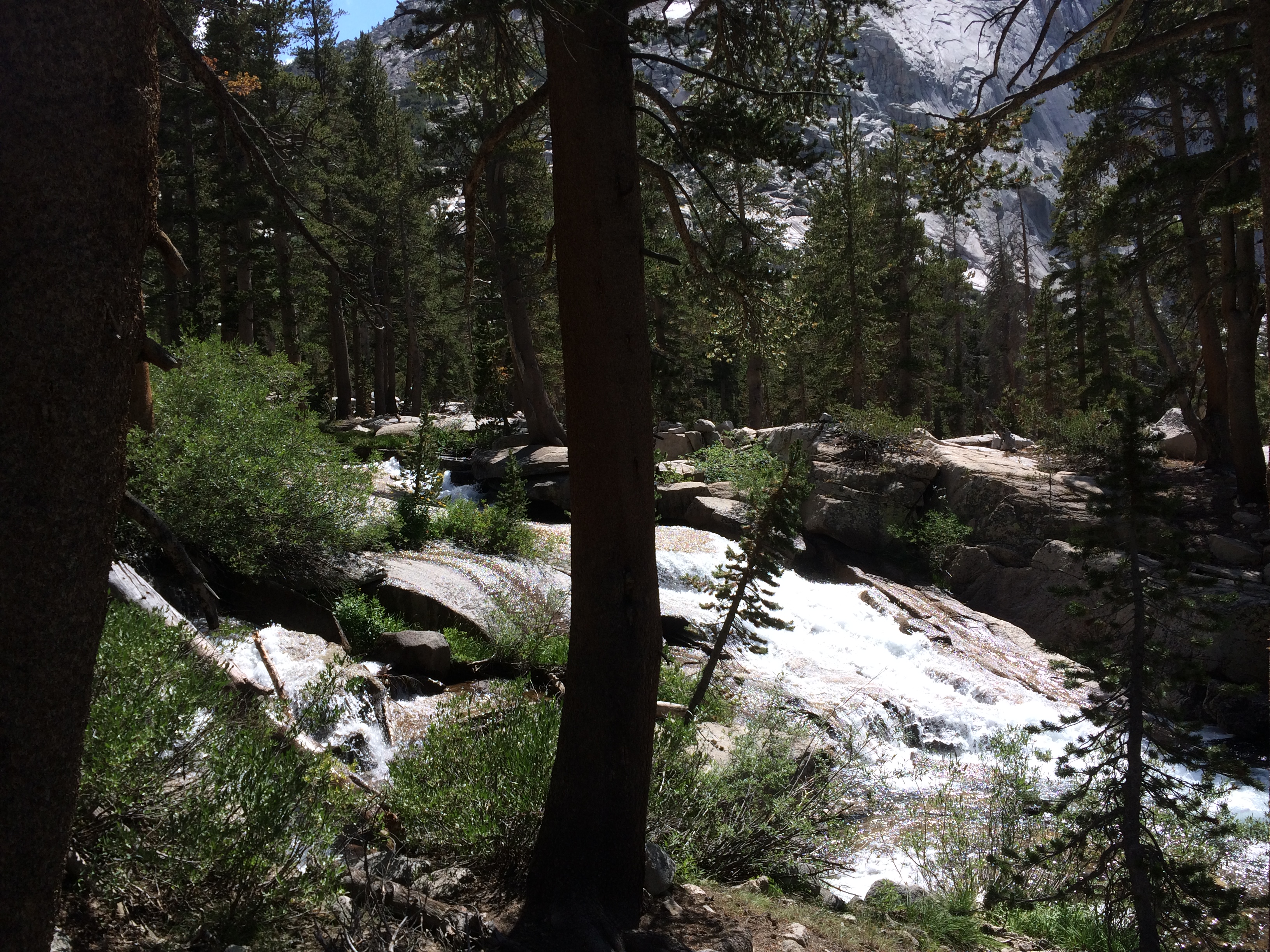
All those little streams feed into Bubb’s creek. The trail follows it for a bit, but fortunately we don’t have to cross this beast.
Soon there is water + flat meadows which = mosquitos. Sorry no more pics of the lower elevations. I was running for my life.
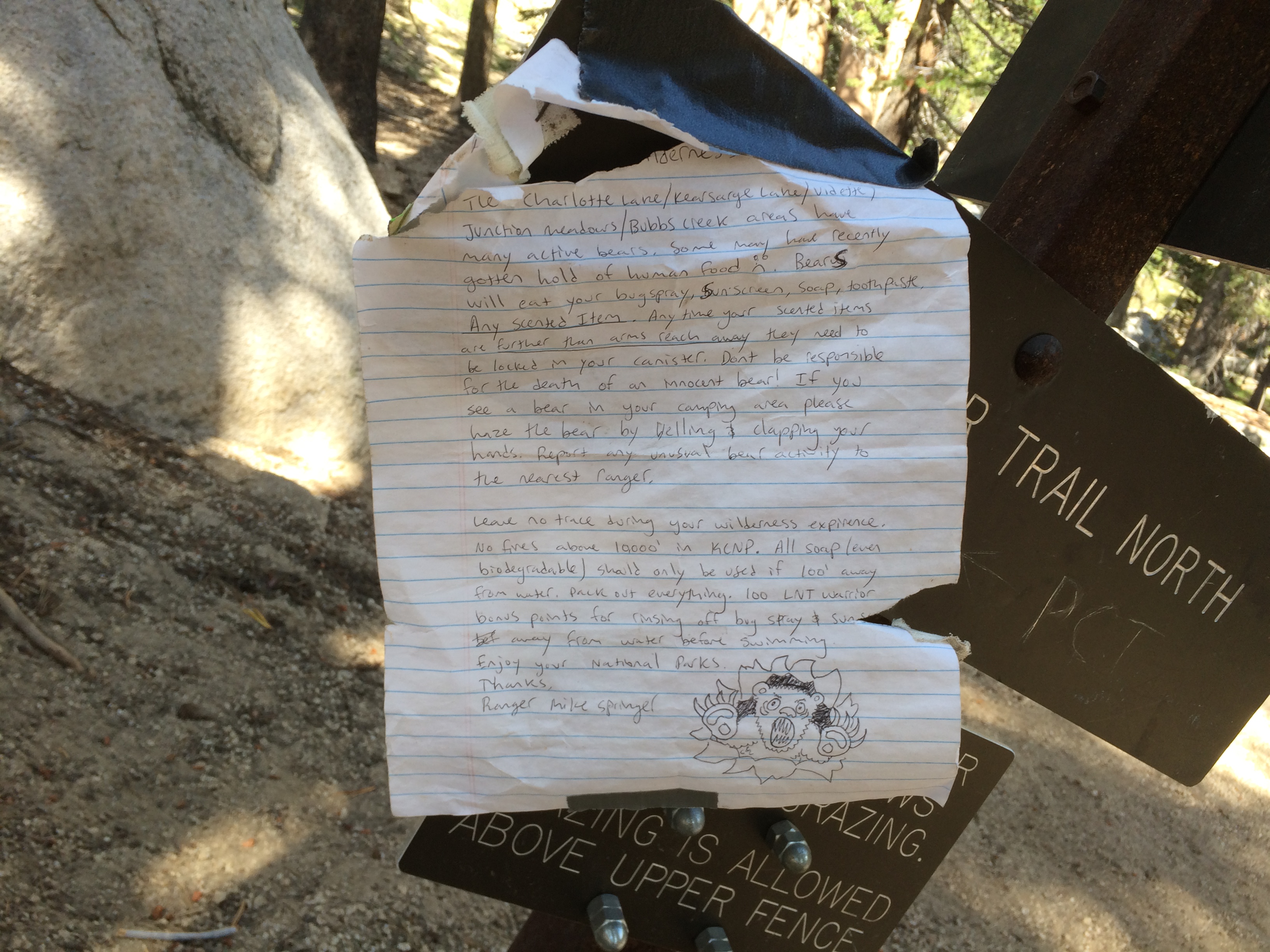
At the end of all this is a final 1k climb over 1.5 miles. It begins with a note from Ranger Rick about the bear menace. Why can’t I just exchange my 2.5 pound bear can for a 2.5 pound pistol? That would permanently solve the bear problem.
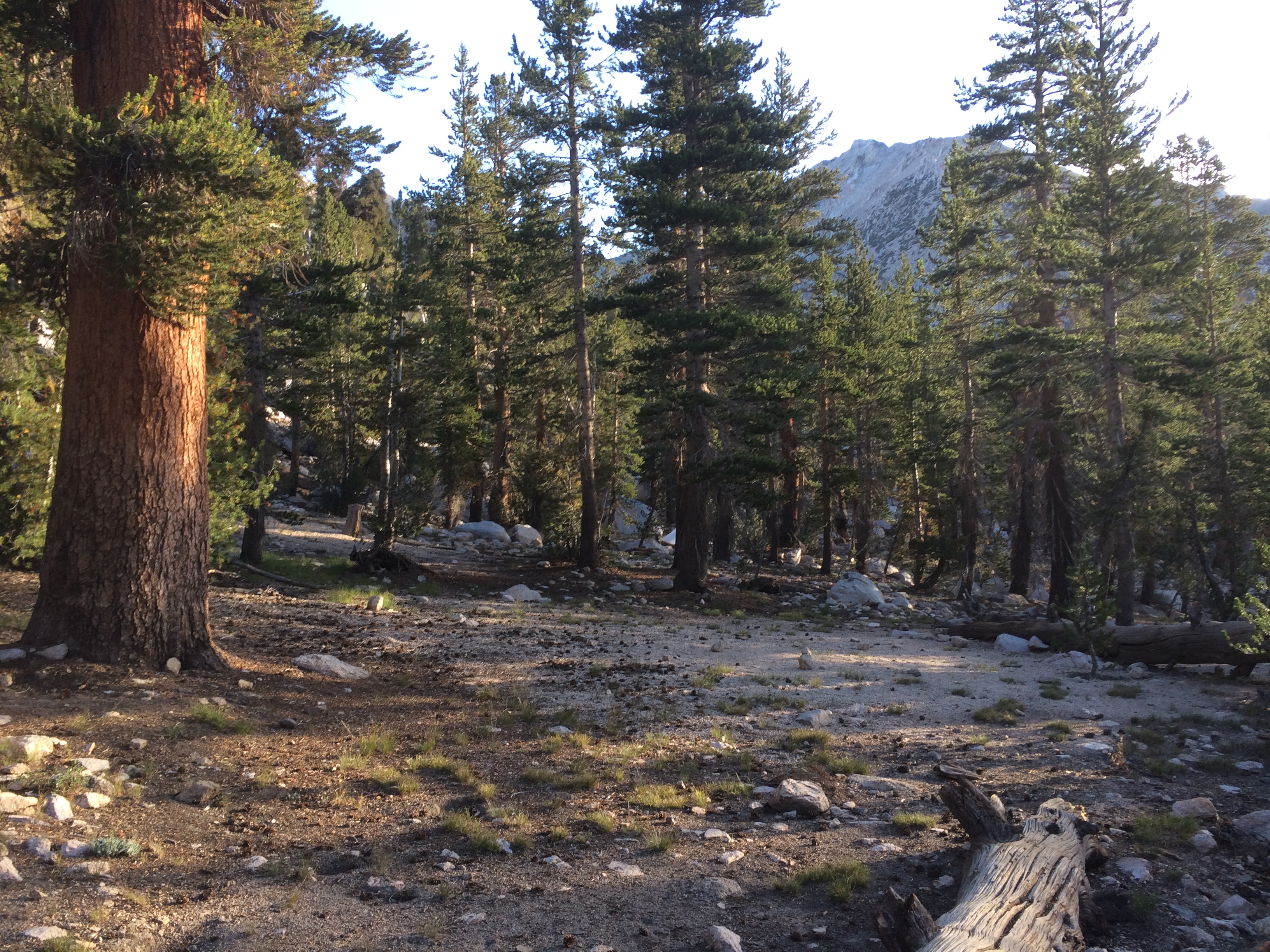
Climbing up I had a couple moments of deja vu. Turns out that this is the same trail that Stephanie and I ascended when I got altitude sickness.
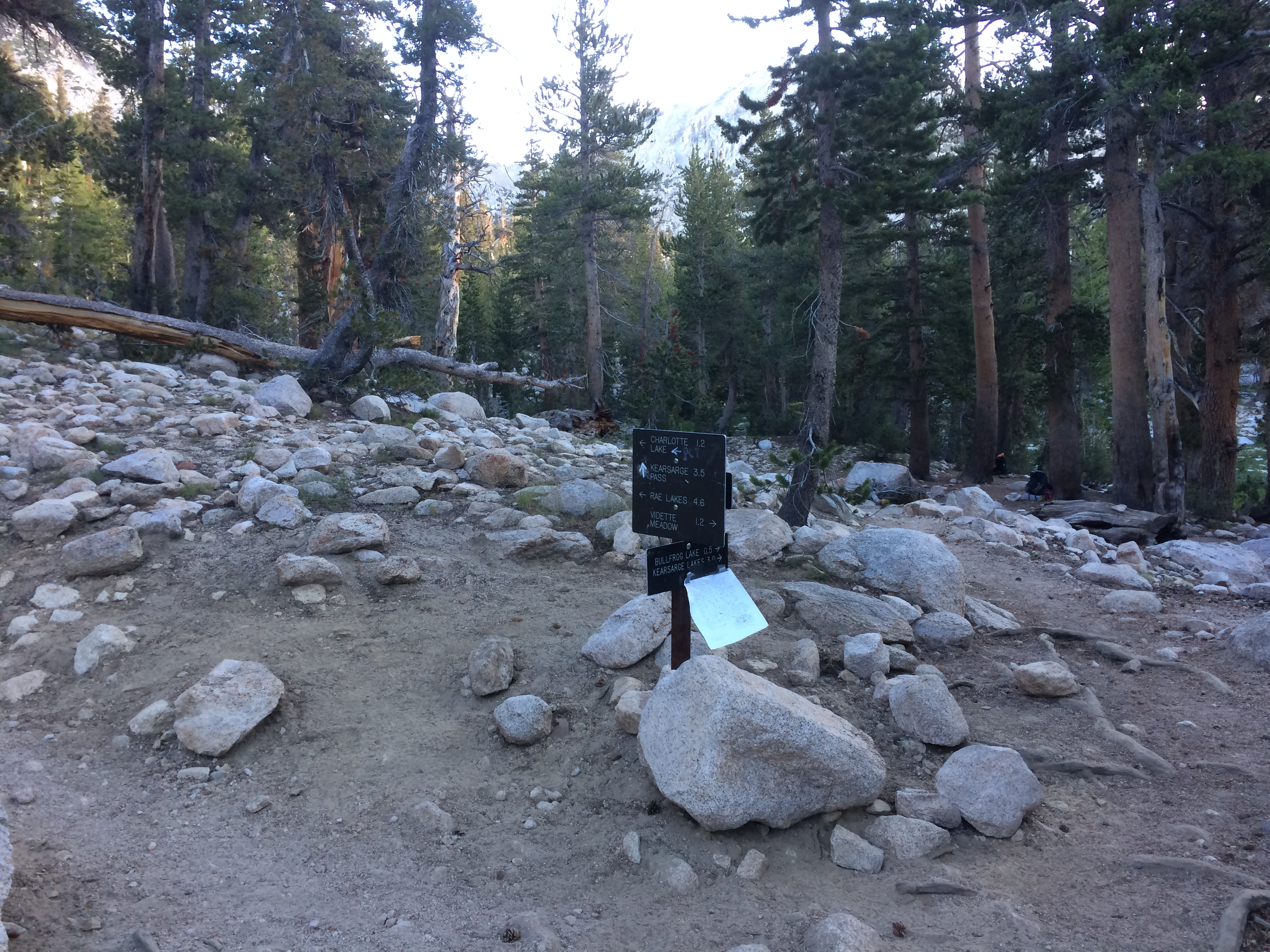
When I reached the top, I found the sign for the trail intersection to Kearsarge pass. This is the route we will take tomorrow to go to Independence for resupply. It also turns out that this is the spot where Stephanie, her friends, and I stopped long ago.
I was barfing my guts out on this log.
Stephanie and her friends were camped over here.
Anyway, that was a little spooky. Fortunately, I felt great this time. Made camp a couple hundred feet from the evil barf log and had a good dinner. Tomorrow we hike out to Independence.