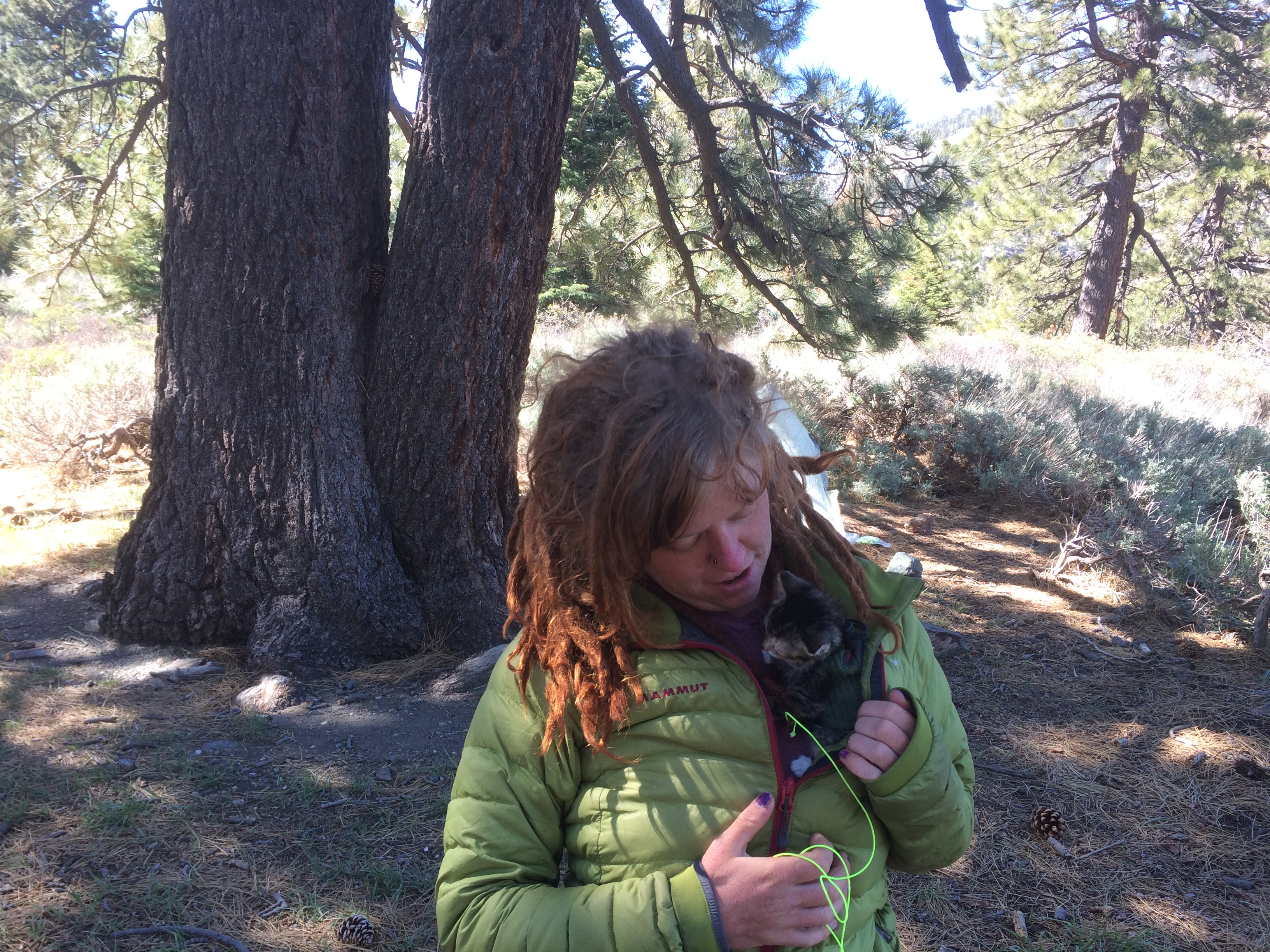
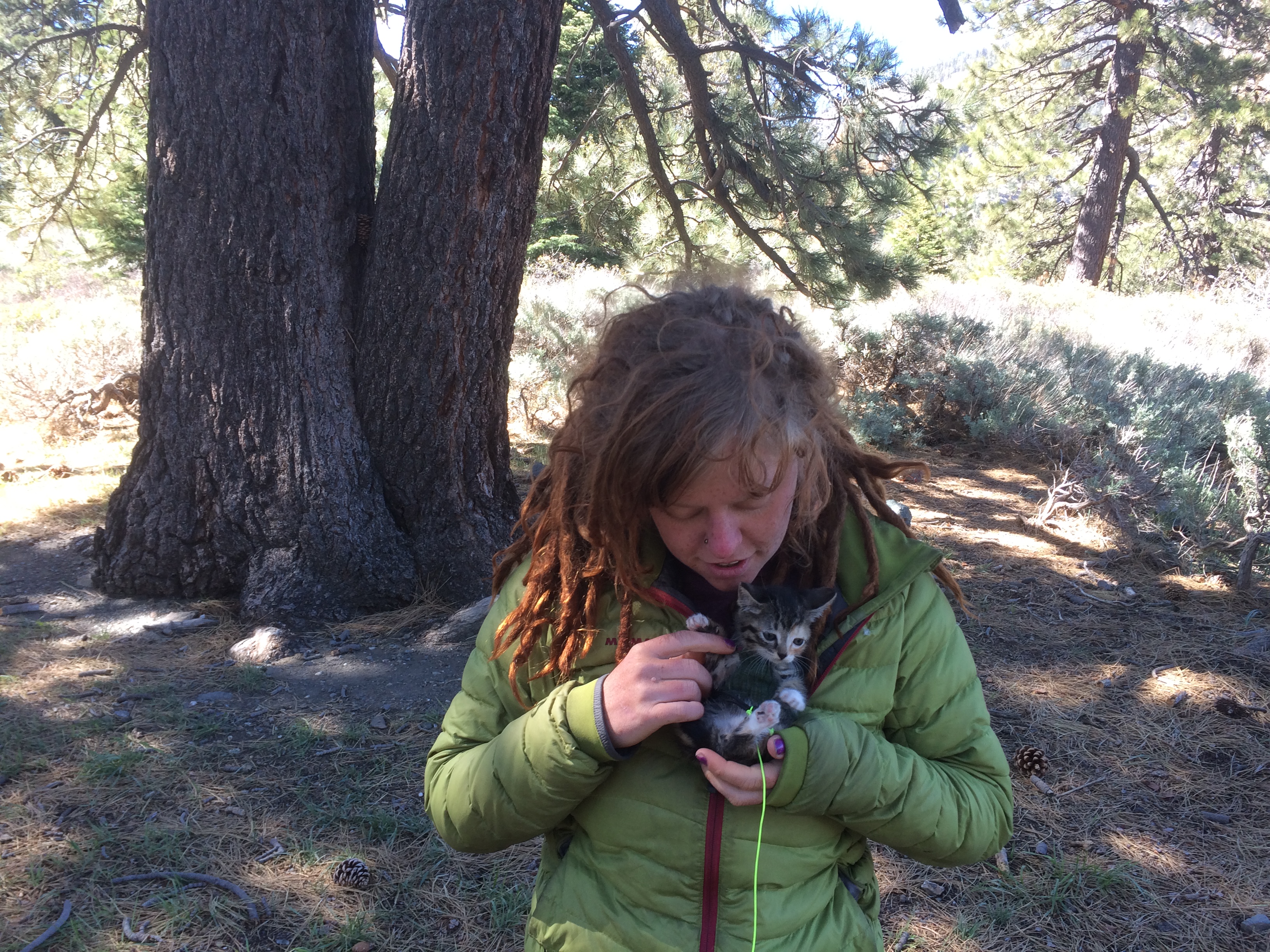
It was a bit windy last night and somewhat cold. Protection in the campground was good, so had a nice nights sleep. Folks were milling around at 6 as I should have been, but instead fell back to sleep. By the time I woke up and got all my stuff ready to go, it was 7:30……Then I had to back track 2 tenths to get water. So it was 8 by the time I finally got out. Only person left in the campground was the cat lady.
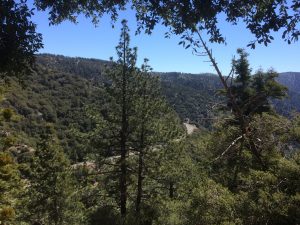
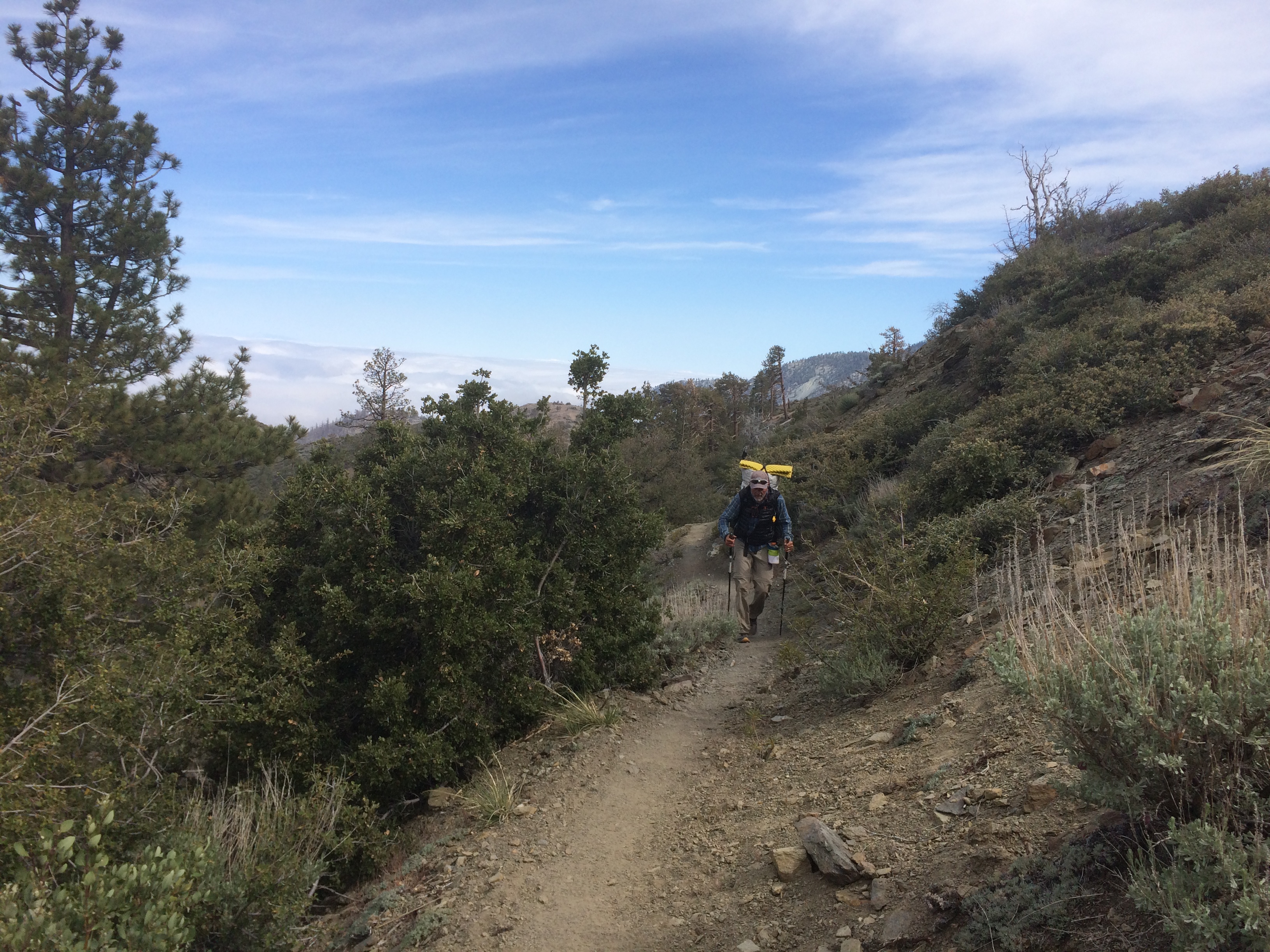
I was still pissed that I wasted so much time getting started. At least the trail was downhill, but no…. more the trail delivers a nice hot 1200 foot climb with no wind. I run into this gal “No English” (apparently from Taiwan and actually knows almost no English). I pass her on the climb. I can out hike a 90 pound Asian Girl carrying a 30 pound pack. I’m such a stud.
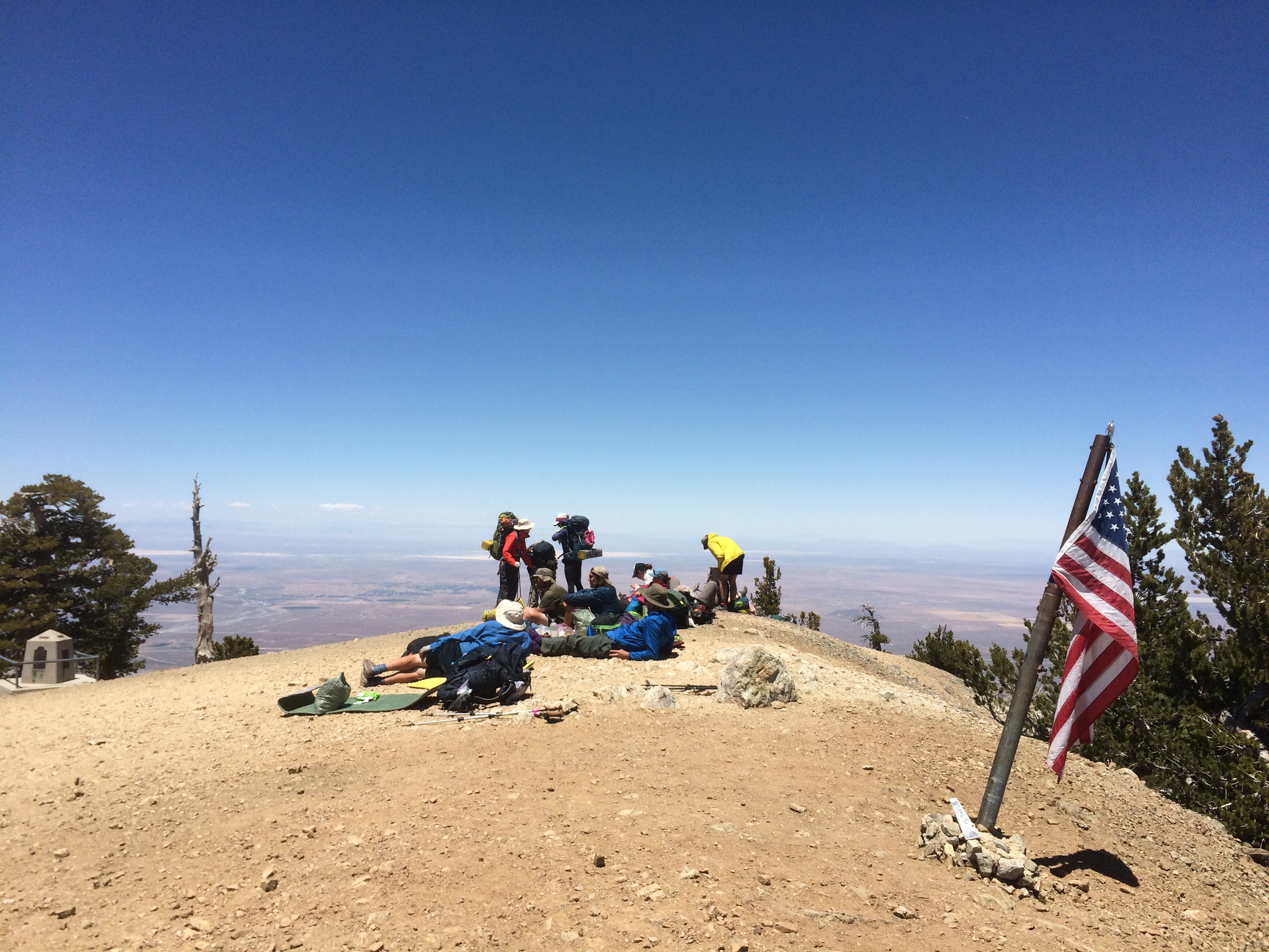
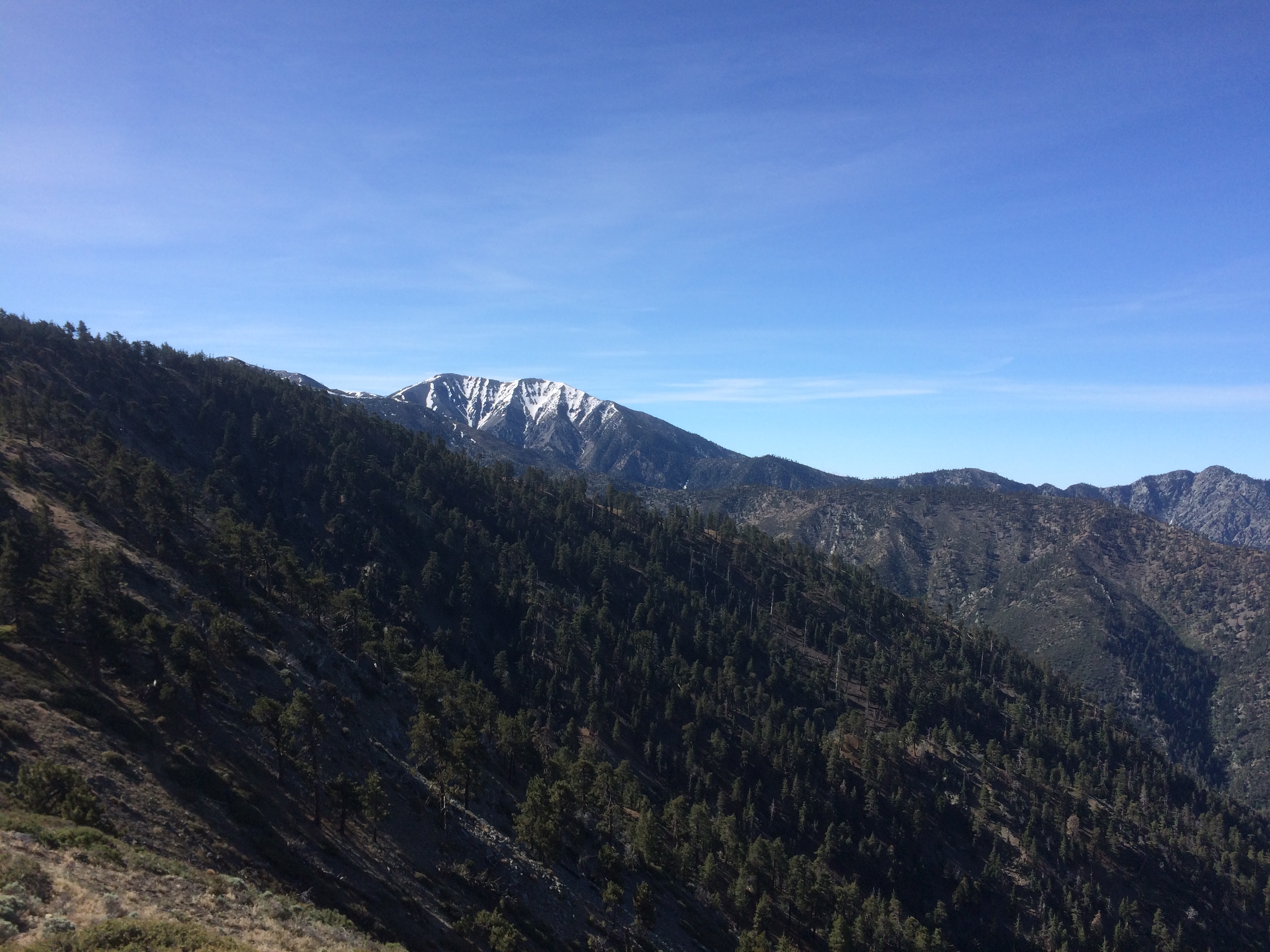
At the top of the climb, I get lost and start up the trail to Mt Williamson which added another 300 feet before I realize my mistake. Turned around and back to the trail junction and there is No English sitting on a rock having some brunch. None for me, I get back on the trail.
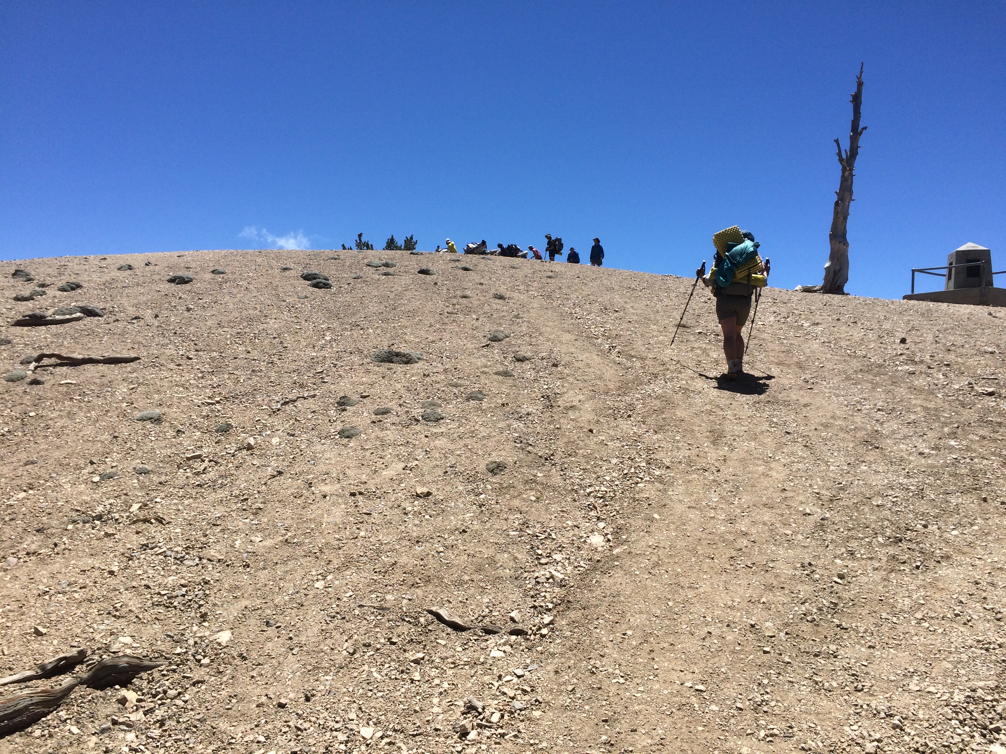
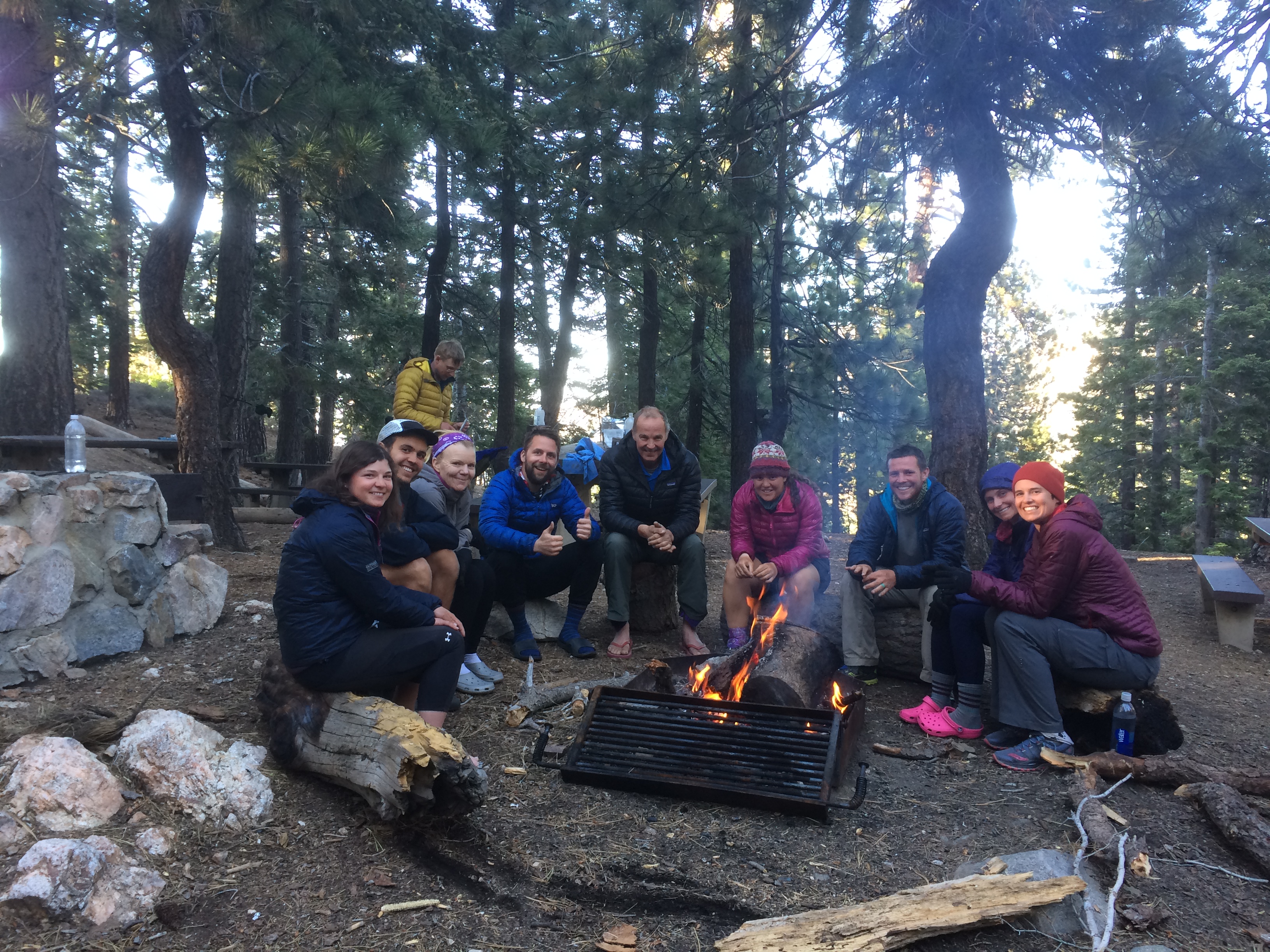
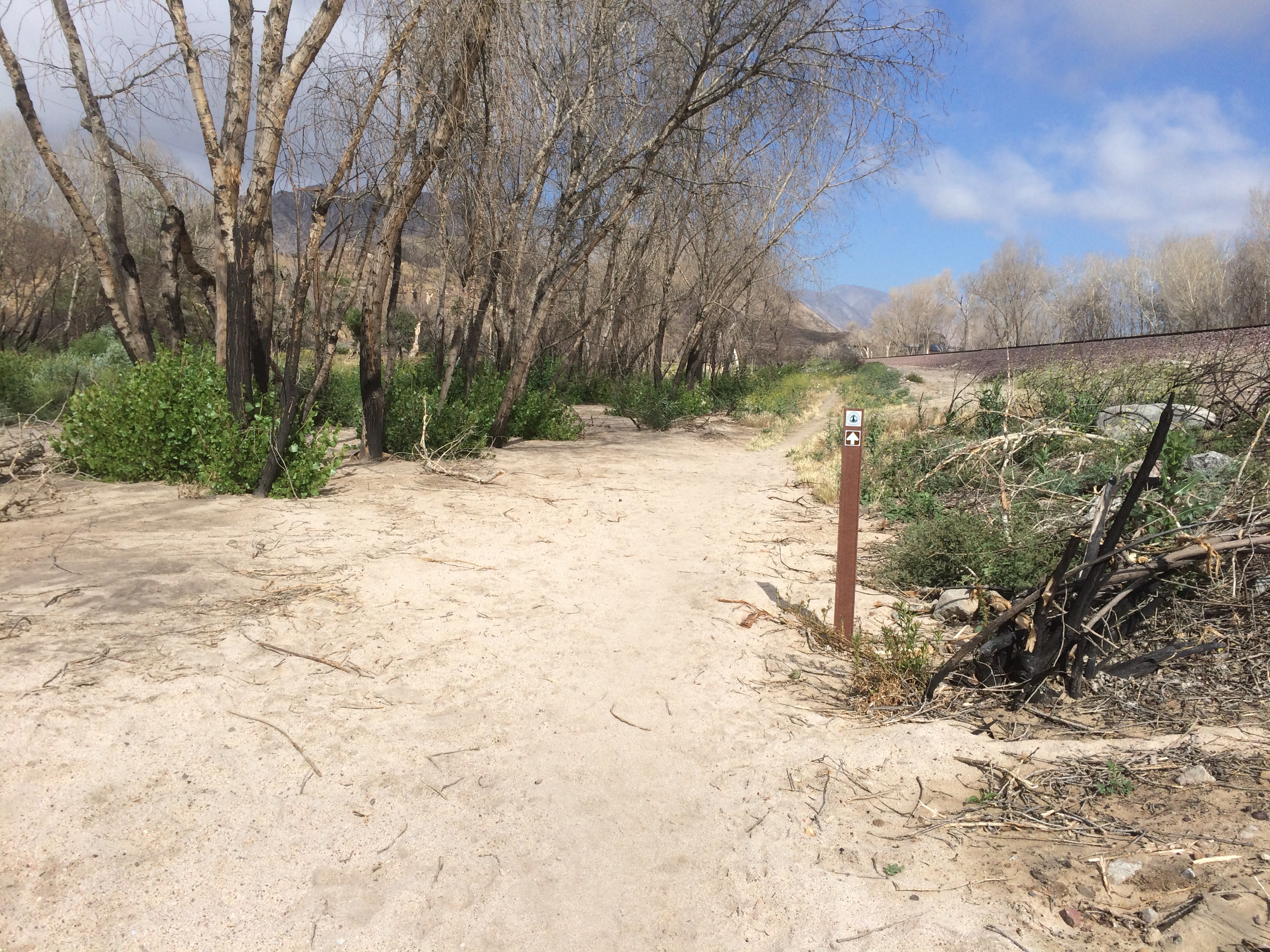
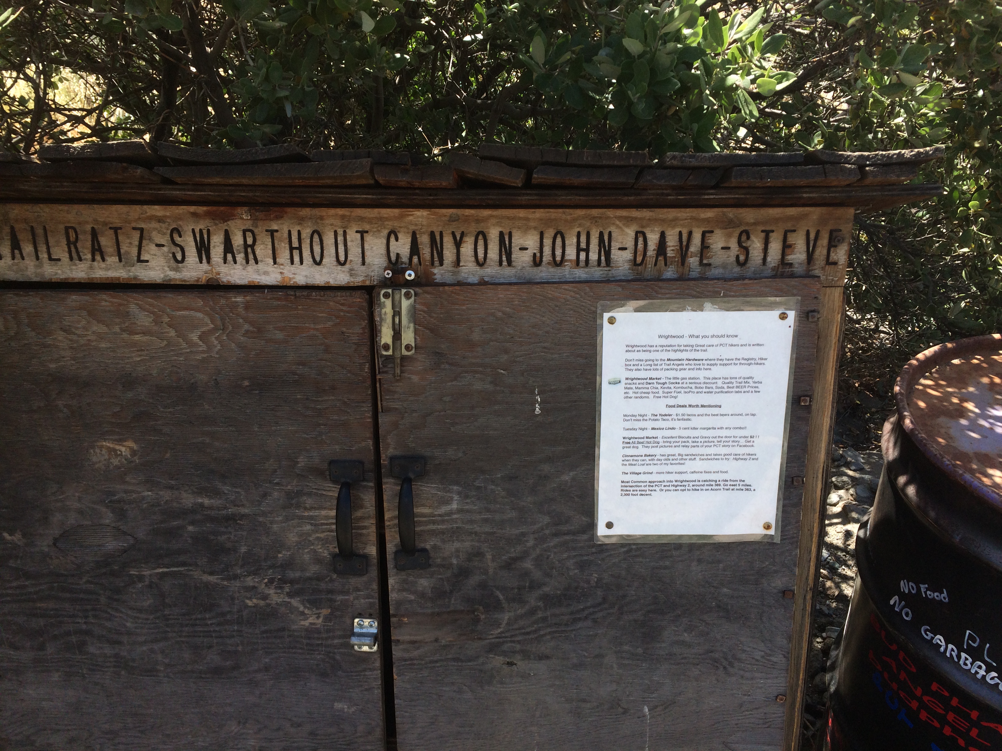
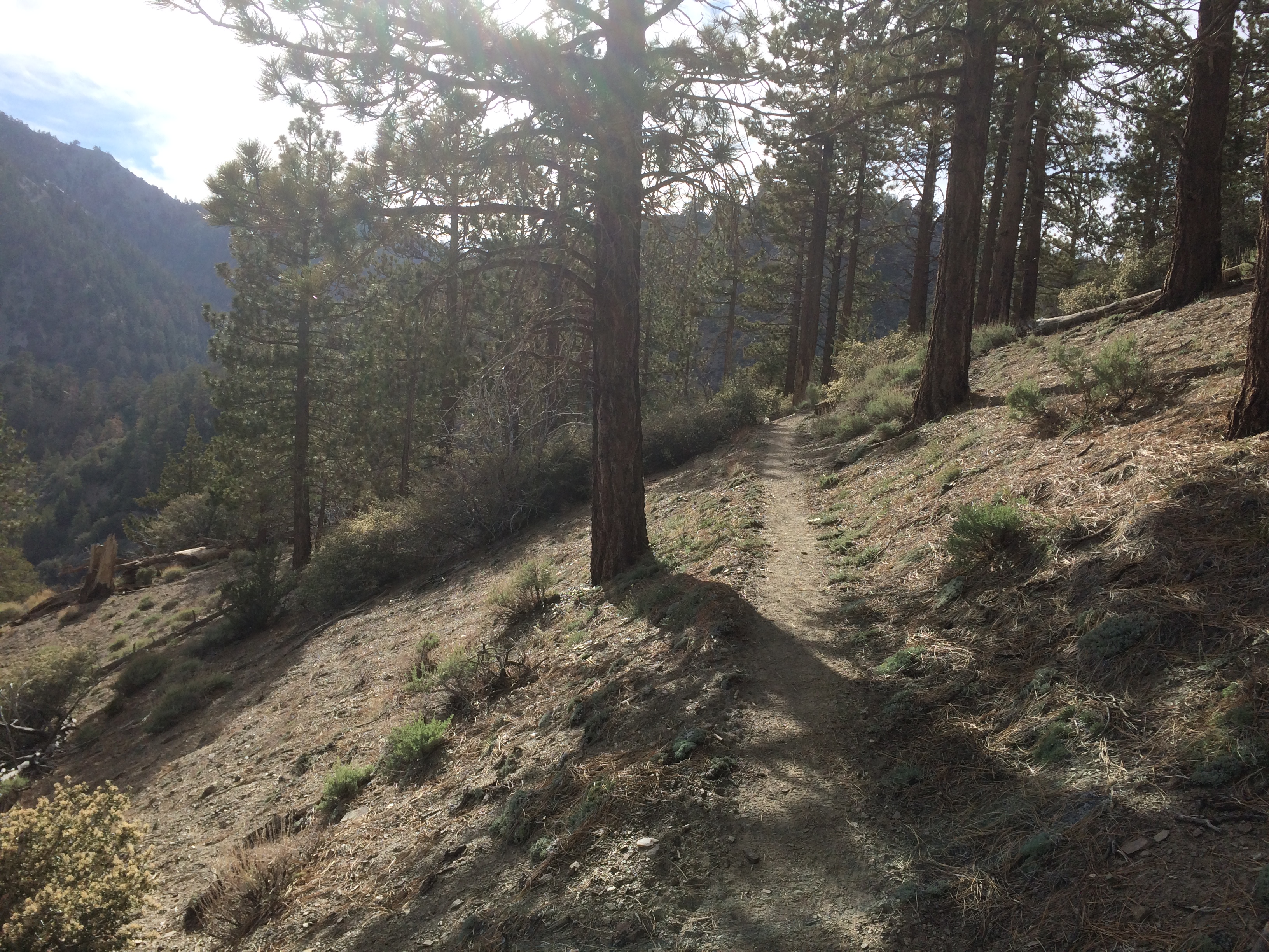
Later I ran into Huntsman, his wife, Happy, and Hot Diggity. There is an endangered species by pass that we have to travel around. Some Frog again. So hwy walk 2 miles to Buckhorn campground, then down Buckhart Trail. We split there and I was on my own after lunch.
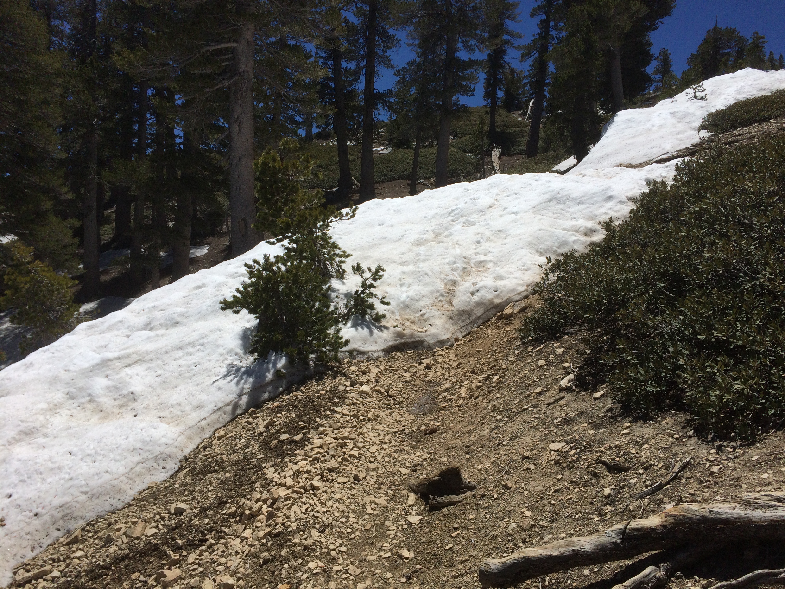
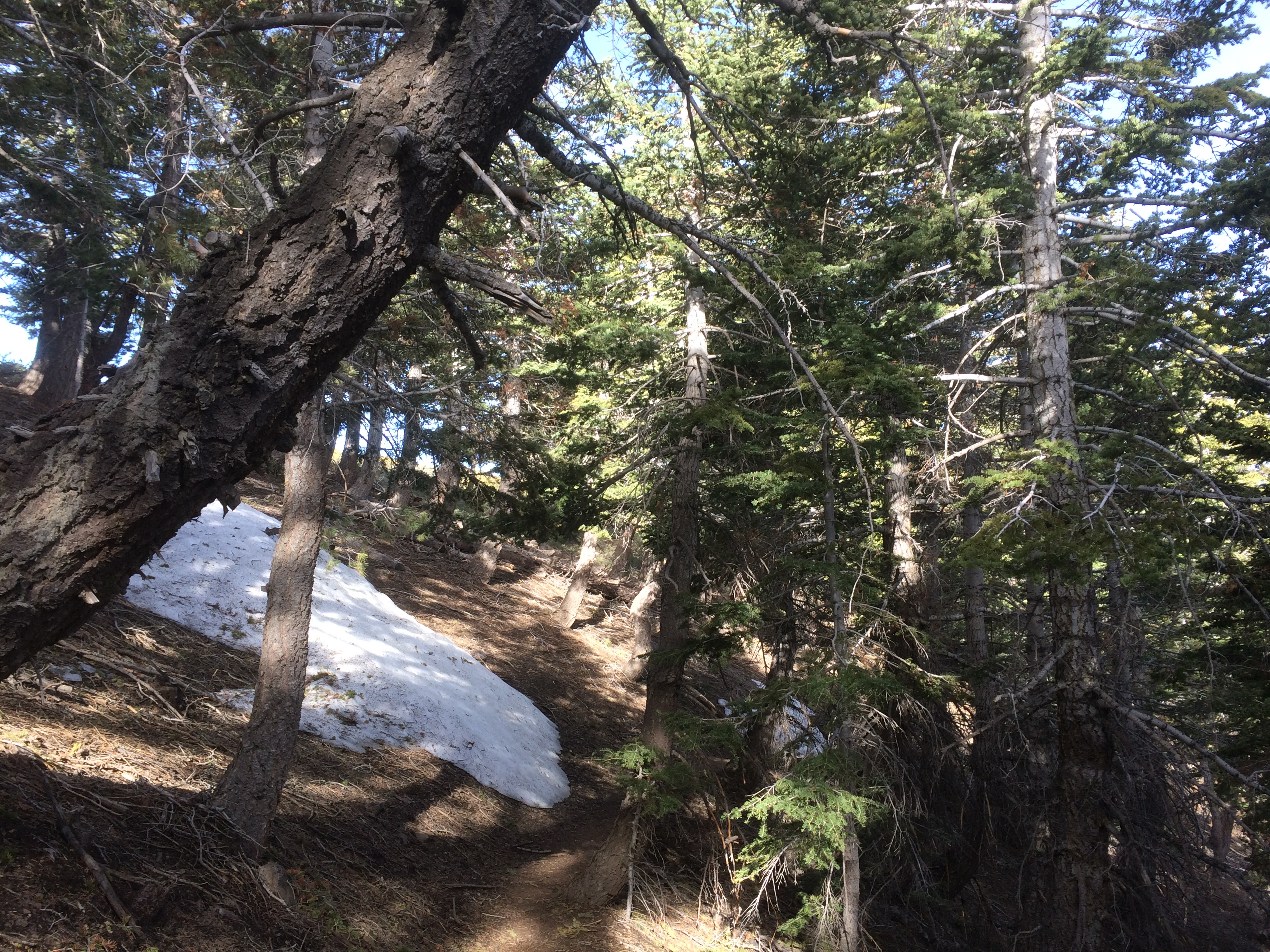
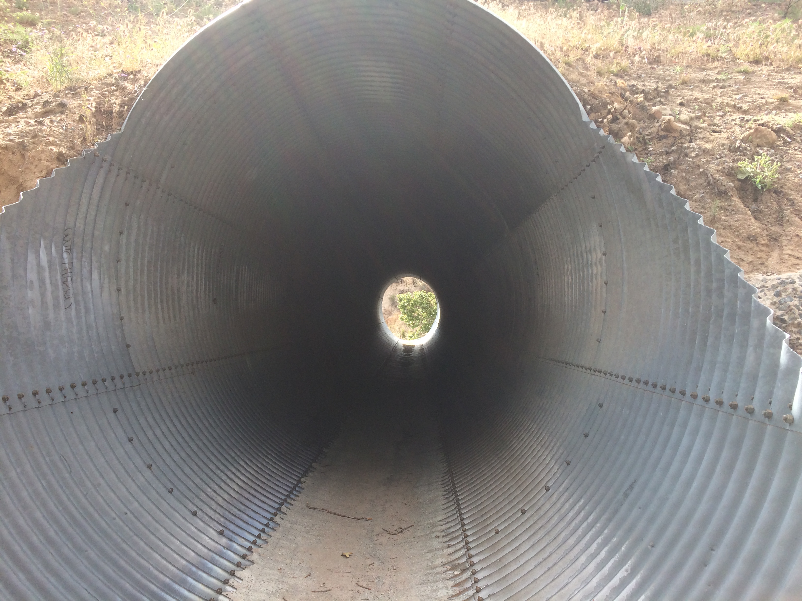
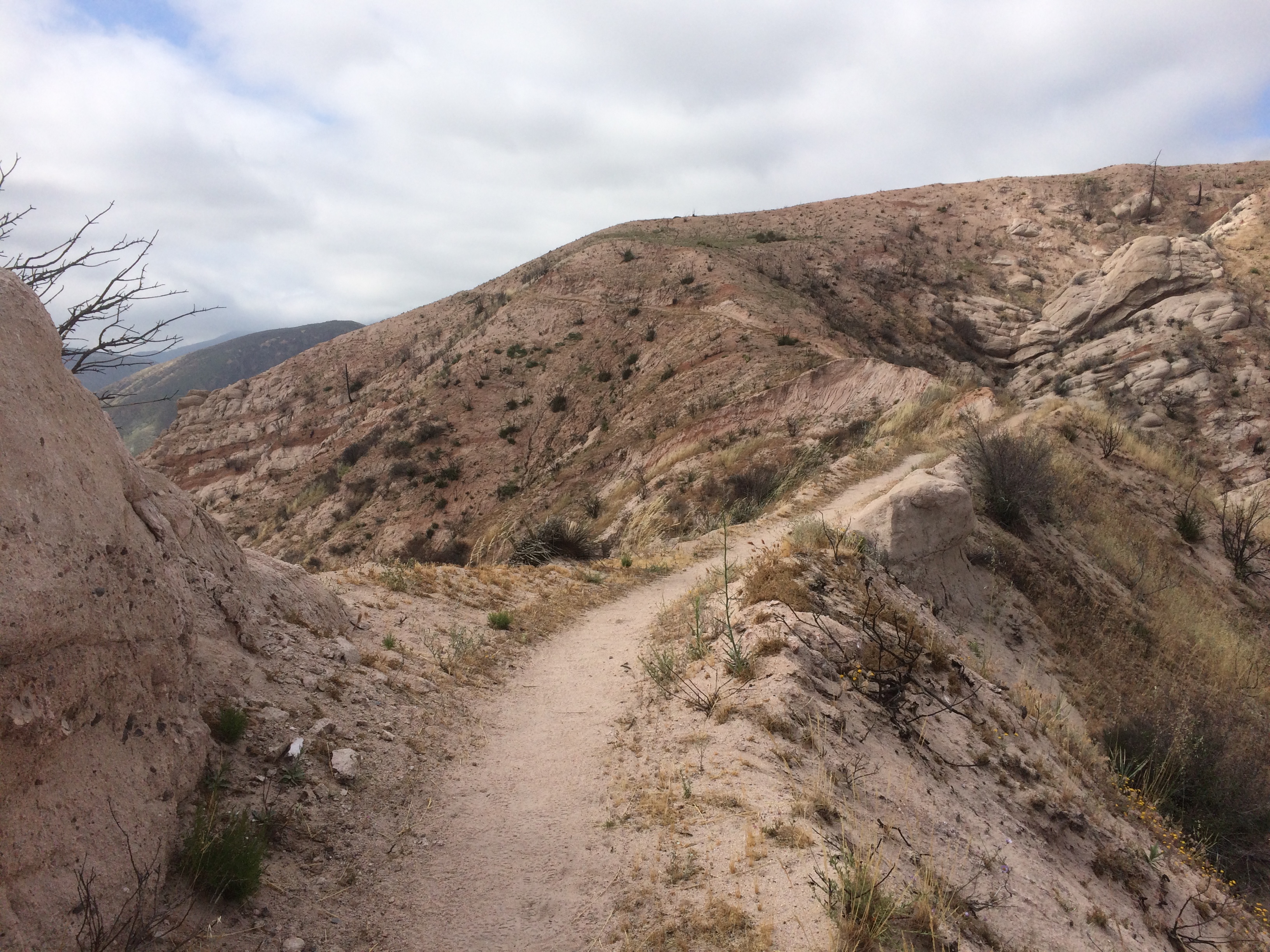
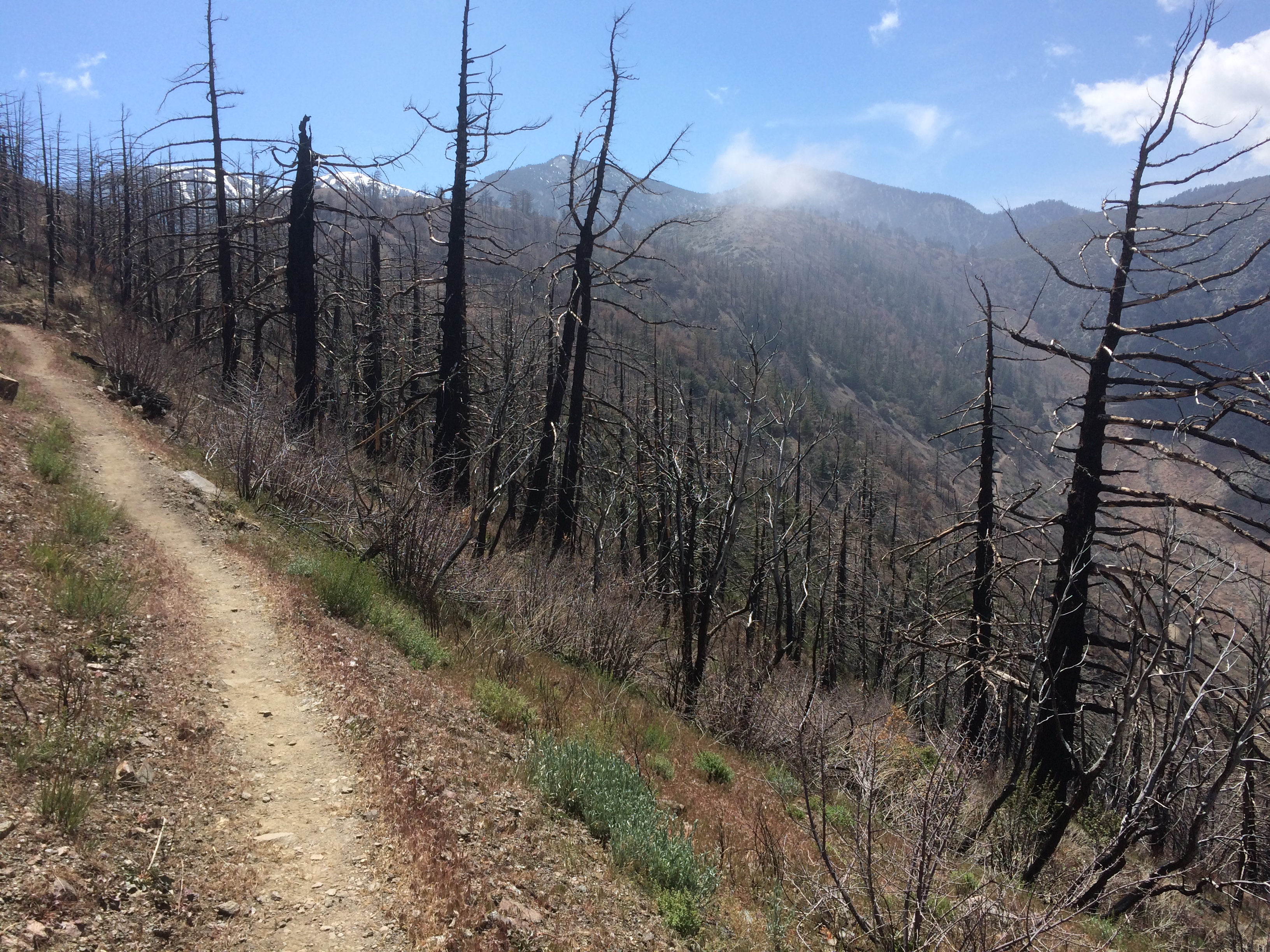
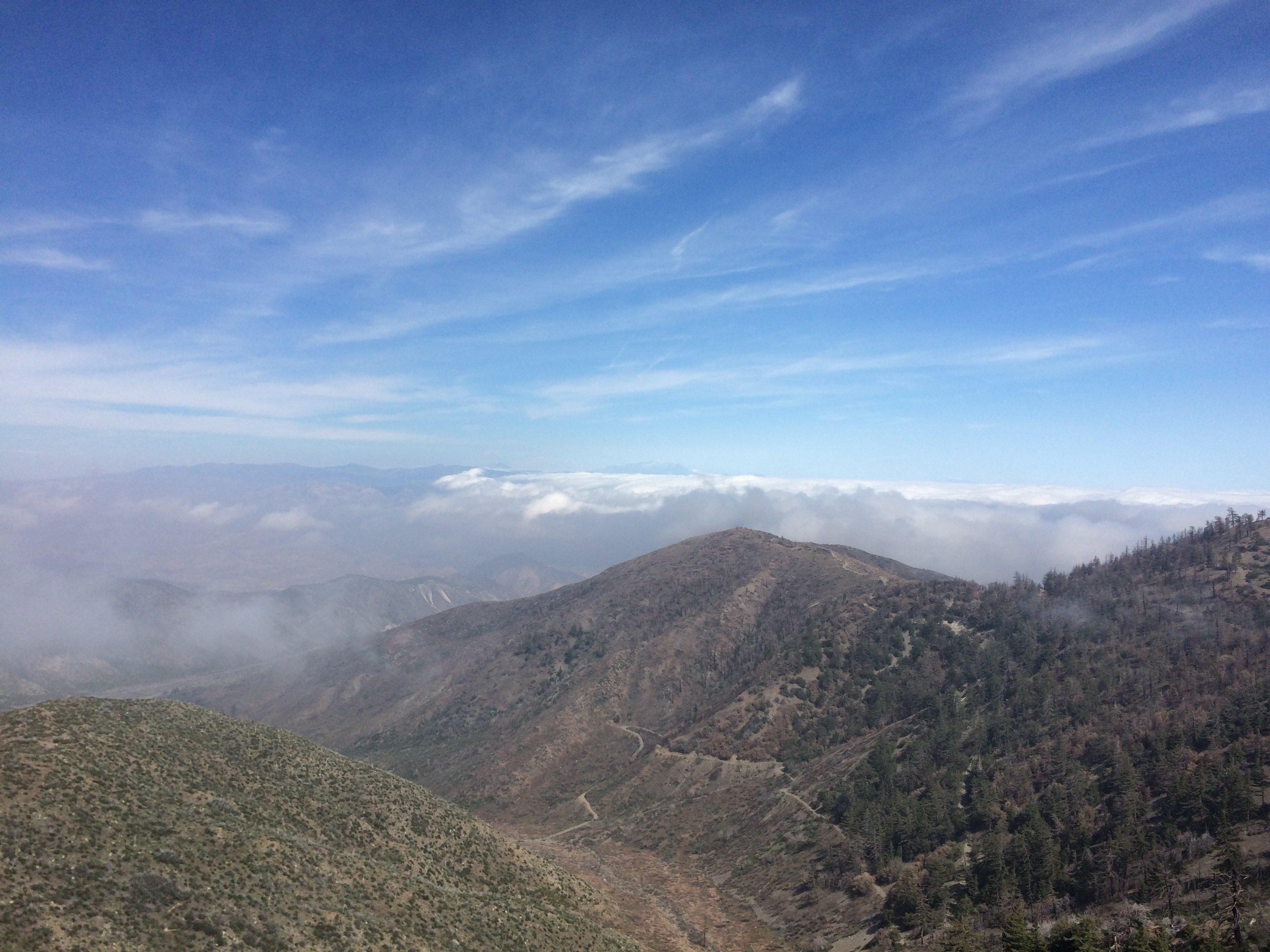
Took off again down Buckhorn to the PCT intersection and misread the signs. Carried on hiking Buckhorn for almost a mile before I realized it. Then I turned around, found the intersection, and got on the PCT…..GOING THE WRONG DIRECTION. I hiked .5 miles south into the endangered species area. The trail got worse and worse, but when I checked the App it said I was on trail so I kept going until the trail turned to nothing. Only then did it hit me.
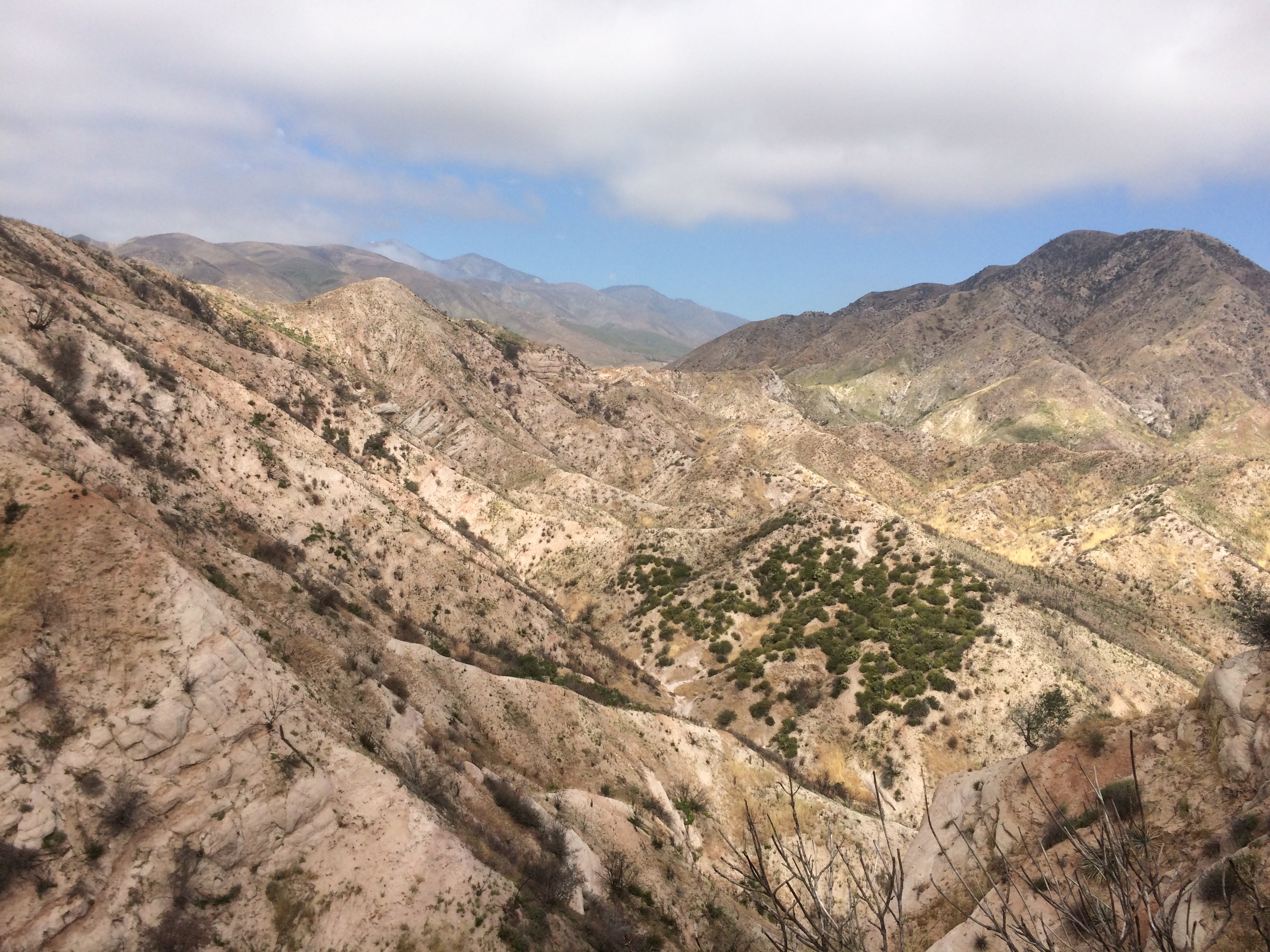
Turned around, heading back, ran into No English. She was going to wrong way too. After a bunch of gestures and miming “wrong way” to her, she got it and followed me out. Finally got on the RIGHT trail going the RIGHT direction and of course I immediately get a 1,000 foot climb as a reward. It was damn hot, I was drenched in sweat.
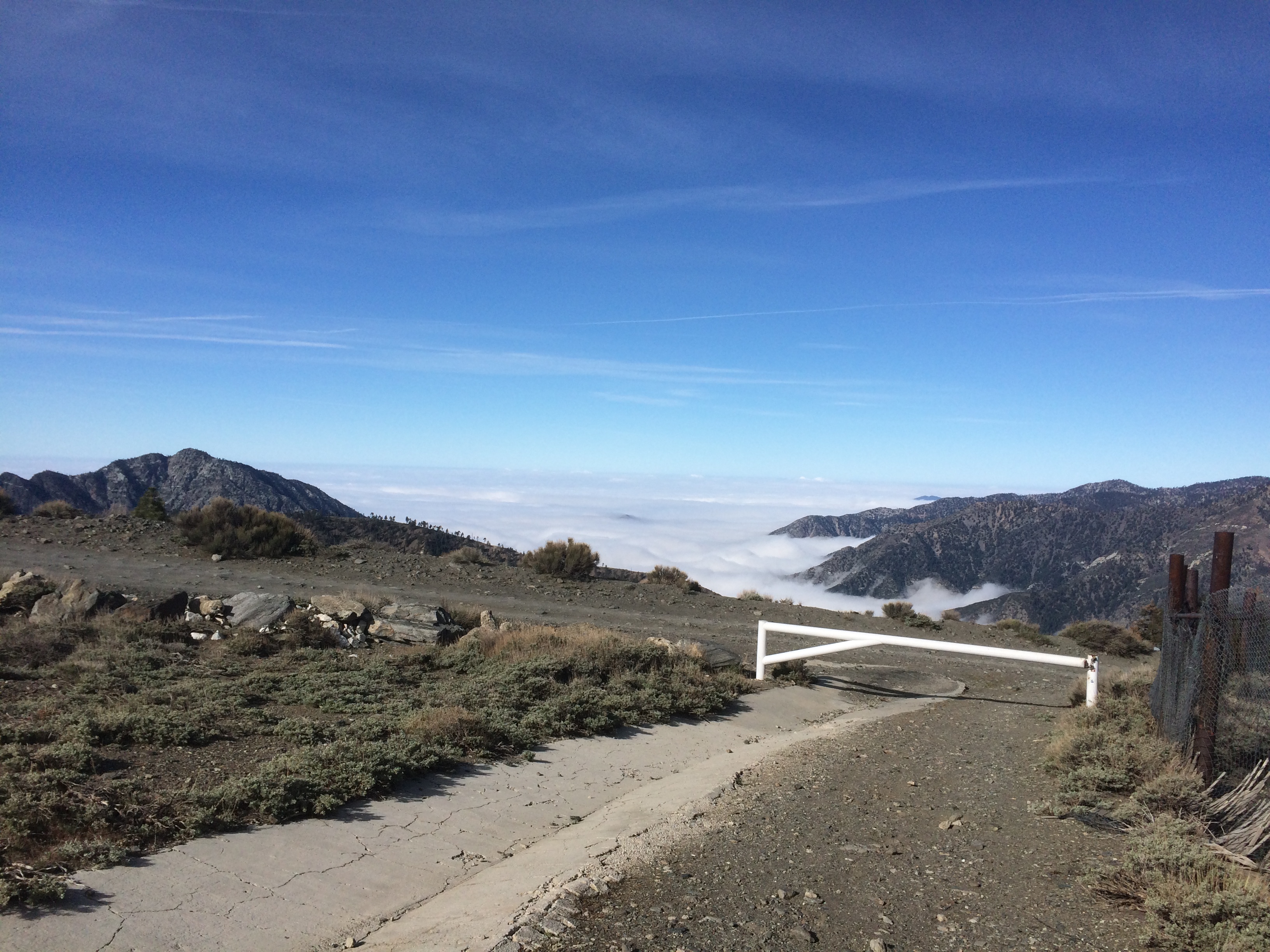
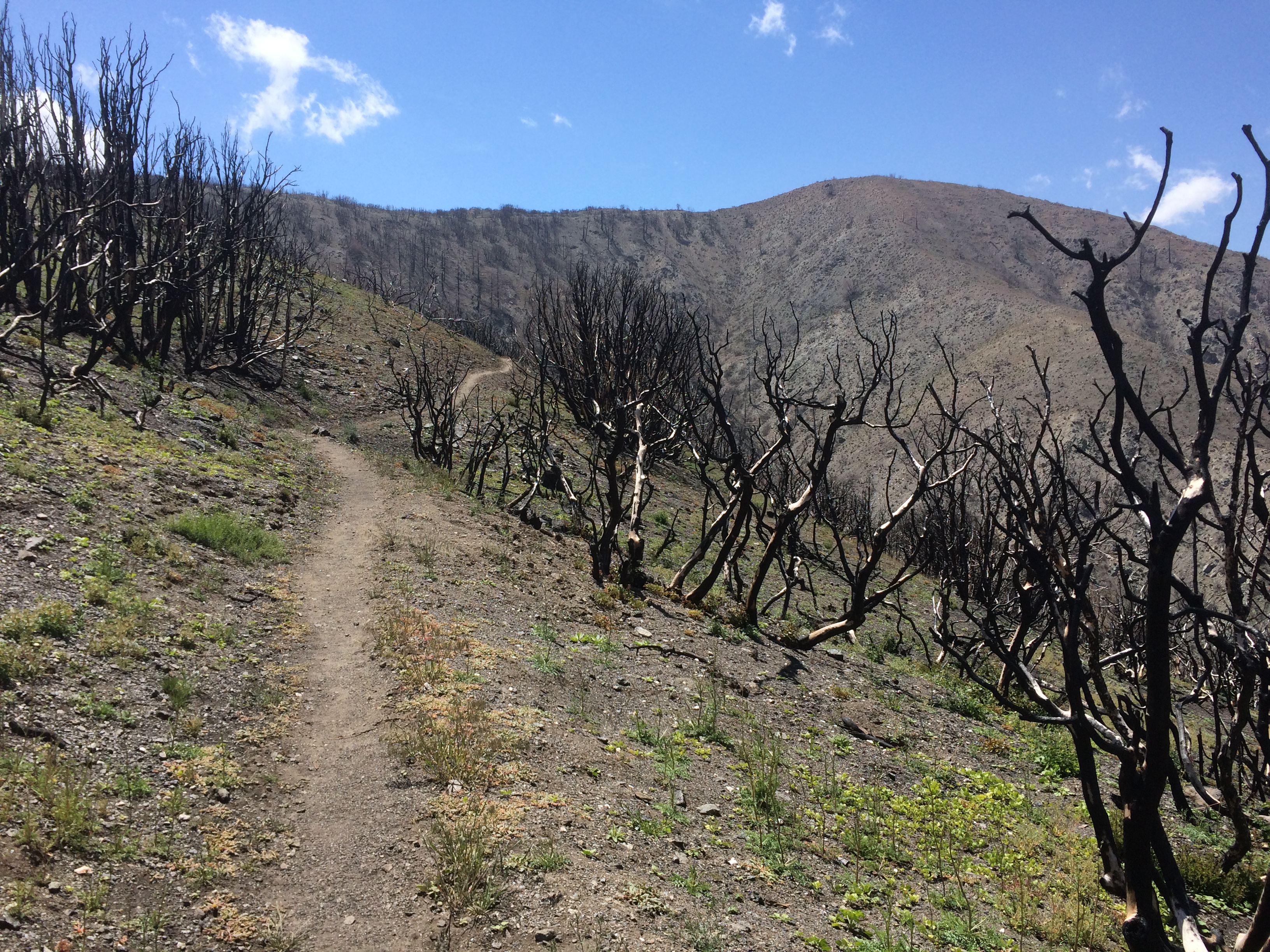
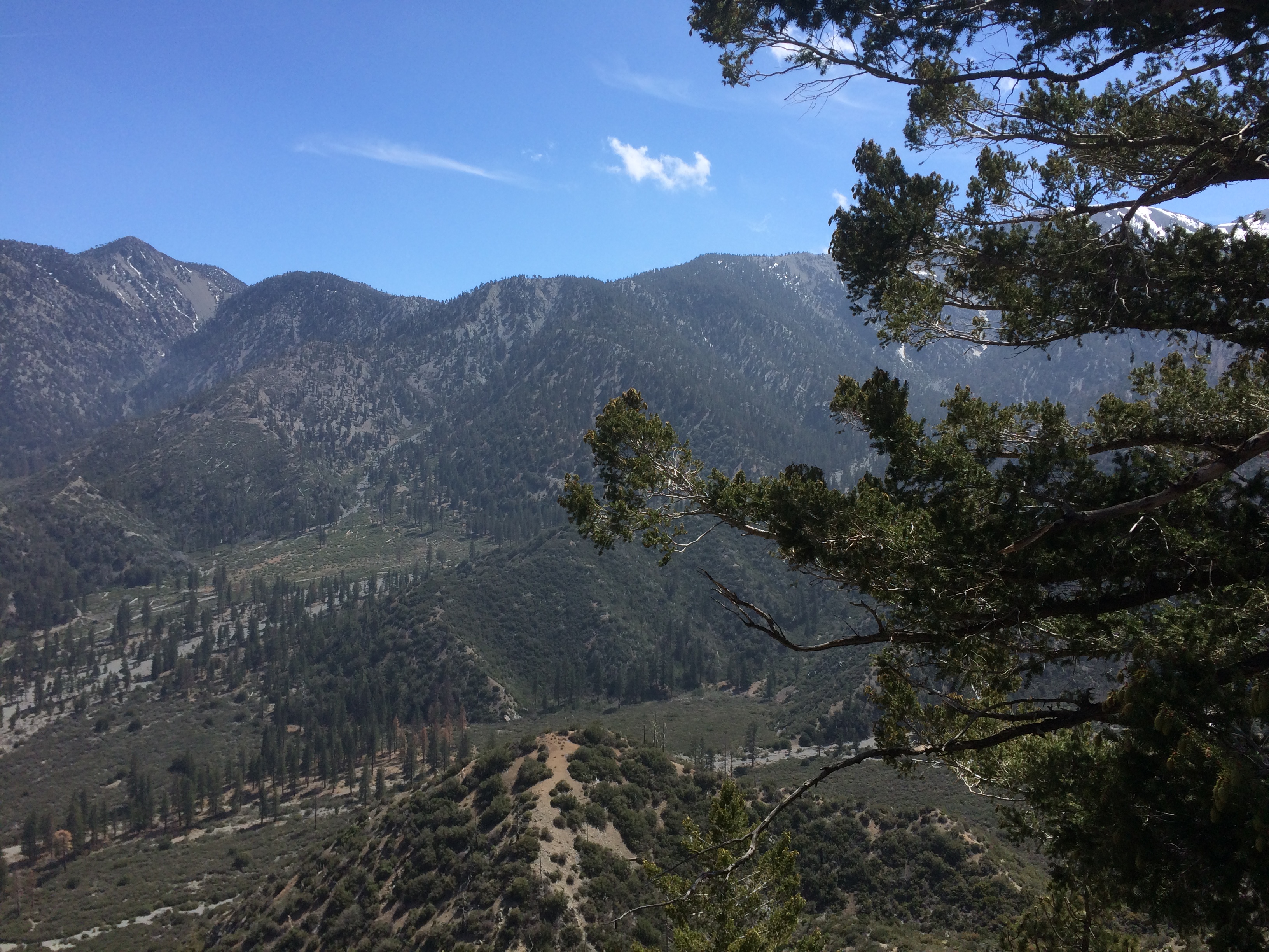
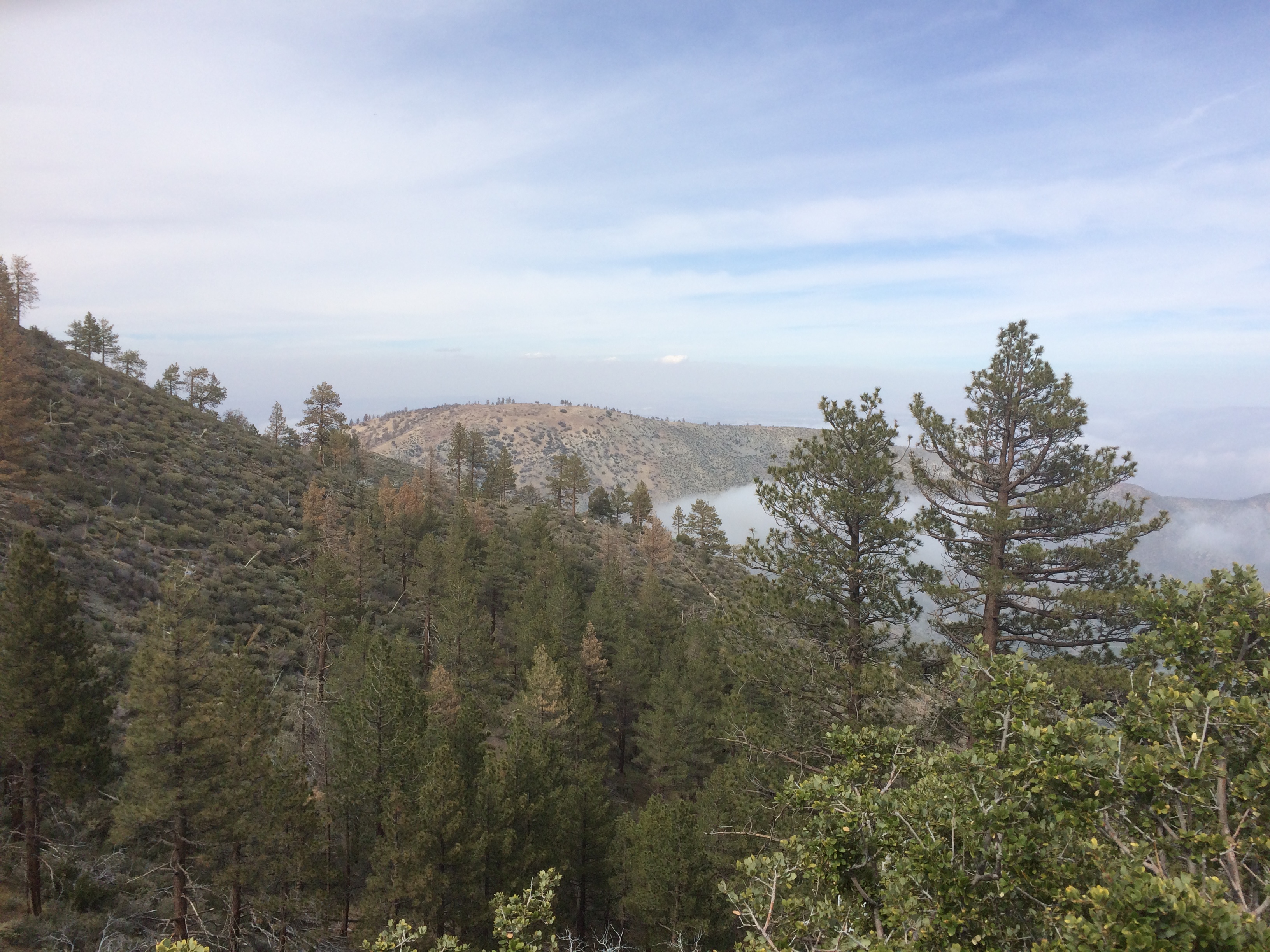
As I rounded one of the peaks top, a stray gust of wind hits me from behind and launches my trail mix bag from my side pocket into the air and down a cliff. That’s fitting.
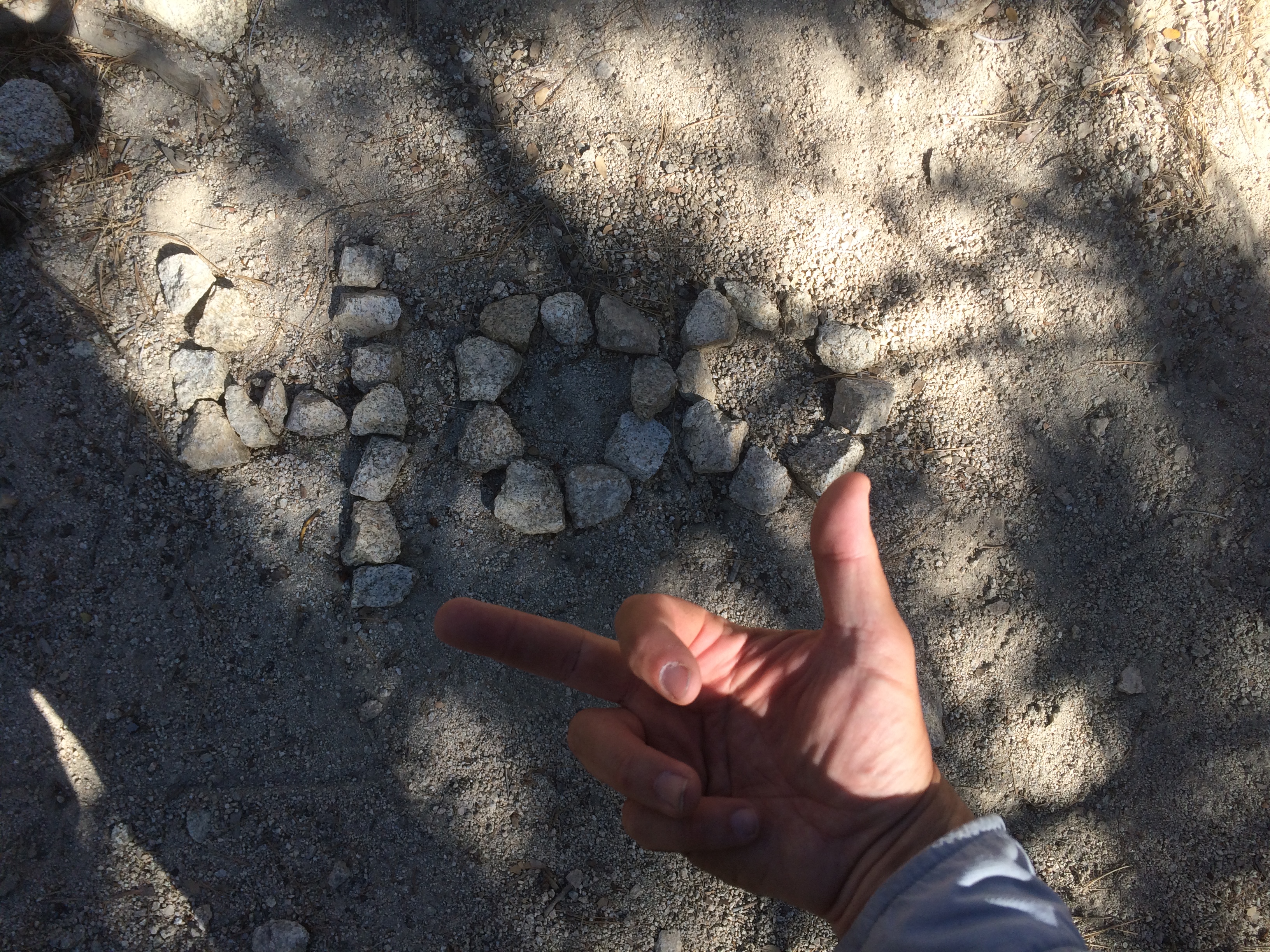
After that I get a nasty back spasm, probably from carrying the pack with no break. I’m stumbling along, alone, miserable, when I pass mile marker 400.
I got to the next water stop at the boy scout camp at 5pm giving me a whooping 16 miles for the day. Pathetic. I made dinner, then late hiked another 3 miles to Three Points Trailhead at 403. I collapsed in my bag for the night.
I figured I wasted 4+ grueling miles going the wrong directions.