Day 29 – Last Day in the Woods

Today started better than the last.   Ate a Poptart and heading out.  

Goal was to do 20+ miles today to make up for my poor performance yesterday.   This should put me at about 5,500 feet.   Since I’m starting at 5,500 feet, should be easy, right?   Well no.   According to my app I get to go +4,700 feet and -4,700 feet today.   Awesome. 

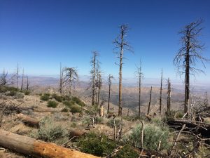
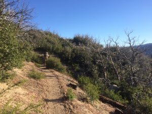
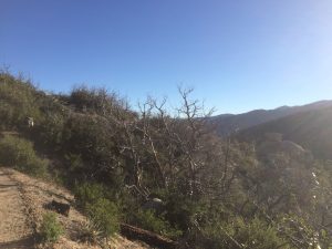
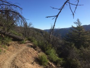
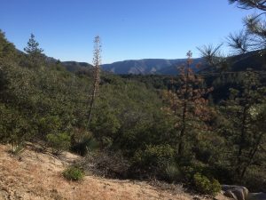
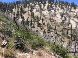
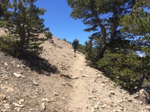
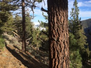
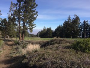
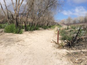
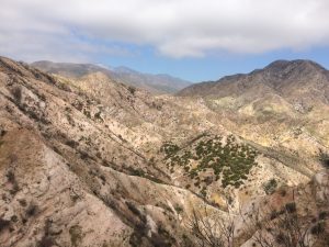
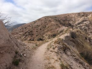
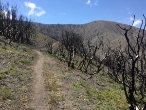
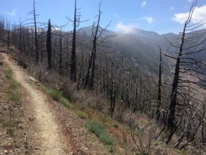
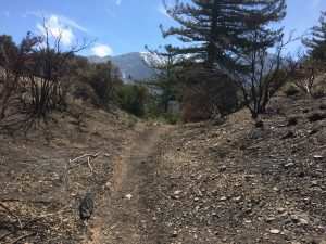
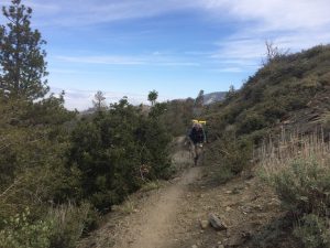
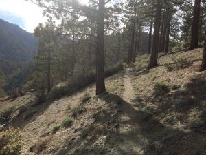
I found this interesting.   The area I walked through in the morning was an old burn from 2007 (I think).   It is interesting seeing how the vegetation recovers.   You can see a few old dead trees together with some dense bushes and younger pine trees growing back.  I suppose in 20 years, this will again be a pleasant shady walk. 

This brought back some bad memories from yesterday….
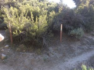
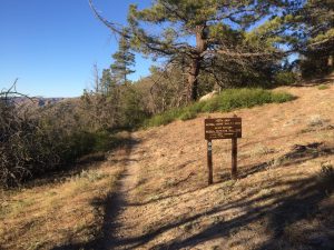
Which way?

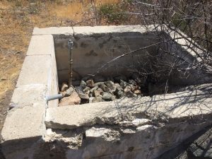
There were some small creeks still running.   Nice algae filled creek bed.   Delicious, slimy water. 
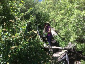
No English agrees, Algae water really hits the spot.
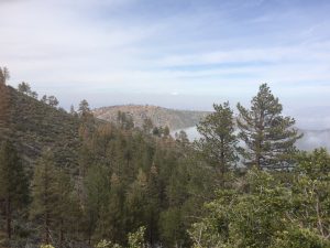
Some of these trees made it

Got to Mill Creek Fire Station and ran into a dozen hikers milling around.   The Station has an active staff who stayed inside while the hikers all spread out around the building seeking shade.    They must just look out the windows and shake their heads.   

Took a little nap here and updated my blog.   Dexter turned up and we decided to hike together to a campsite for the evening.   Was interesting to get to know her.  

She was a zoology graduate student in Wisconsin doing research into Sparrow hatchlings.   Apparently, these birds are unlike most in that they can survive as babies on either seed or bugs.   Most species of birds require a specific diet depending on their age, but these little guys can switch it up and still develop healthy.  

The theory is that there is an enzyme in their digestive system that allows them to switch between the two diets in 24 hours or less.   To prove this, Dexter and team gathered a bunch of hatchinglings, feed them certain diets for a few days, then killed them and immediately dissected their intestines.   Apparently she did this 191 times for the study over 3 years.   That is pretty gross….hence her trail name.   It is Dexter the serial murderer from the TV series…not the cartoon character.

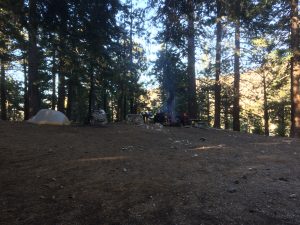
Camped here for the night.   It was an old campsite that was trashed by the recent burn.
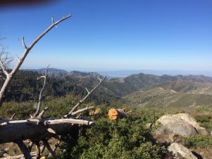
Home for the Night

Did a good 22 miles today (Mile 425).   Feel a little better now.
Day 28 – Terrible Day

It was a bit windy last night and somewhat cold. Protection in the campground was good, so had a nice nights sleep. Folks were milling around at 6 as I should have been, but instead fell back to sleep. By the time I woke up and got all my stuff ready to go, it was 7:30……Then I had to back track 2 tenths to get water. So it was 8 by the time I finally got out. Only person left in the campground was the cat lady.

I was still pissed that I wasted so much time getting started. At least the trail was downhill, but no…. more the trail delivers a nice hot 1200 foot climb with no wind. I run into this gal “No English” (apparently from Taiwan and actually knows almost no English). I pass her on the climb.   I can out hike a 90 pound Asian Girl carrying a 30 pound pack.  I’m such a stud.

At the top of the climb, I get lost and start up the trail to Mt Williamson which added another 300 feet before I realize my mistake. Turned around and back to the trail junction and there is No English sitting on a rock having some brunch. None for me, I get back on the trail.

Later I ran into Huntsman, his wife, Happy, and Hot Diggity. There is an endangered species by pass that we have to travel around. Some Frog again. So hwy walk 2 miles to Buckhorn campground, then down Buckhart Trail.  We split there and I was on my own after lunch. 

Took off again down Buckhorn to the PCT intersection and misread the signs. Carried on hiking Buckhorn for almost a mile before I realized it. Then I turned around, found the intersection, and got on the PCT…..GOING THE WRONG DIRECTION. I hiked .5 miles south into the endangered species area. The trail got worse and worse, but when I checked the App it said I was on trail so I kept going until the trail turned to nothing. Only then did it hit me.

Turned around, heading back, ran into No English. She was going to wrong way too. After a bunch of gestures and miming “wrong way” to her, she got it and followed me out. Finally got on the RIGHT trail going the RIGHT direction and of course I immediately get a 1,000 foot climb as a reward.  It was damn hot, I was drenched in sweat.

As I rounded one of the peaks top, a stray gust of wind hits me from behind and launches my trail mix bag from my side pocket into the air and down a cliff. That’s fitting.

After that I get a nasty back spasm, probably from carrying the pack with no break. I’m stumbling along, alone, miserable, when I pass mile marker 400.   

I got to the next water stop at the boy scout camp at 5pm giving me a whooping 16 miles for the day. Pathetic. I made dinner, then late hiked another 3 miles to Three Points Trailhead at 403.  I collapsed in my bag for the night. 

I figured I wasted 4+ grueling miles going the wrong directions.   


Day 27 – The Assault on Baden-Powell

Checked out at 6 ish in the morning and hung outside a cafe until 7 so I could get a mega-breakfast.    It came on two large plates: 4 biscuits and gravy, 3 eggs, 2 sausages, half a plate of hash browns.  Should have taken a picture.  Ate it all.  Can’t believe how hungry I am these days.

Took 10 minutes to thumb a ride.   Folks are so nice here.  Picked up David along the way.   He and I would hike together for most of the day.   Started trail at 7,300 feet (mile 369).  

David Taking a Break

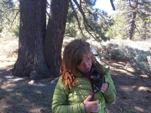
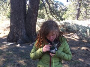
Ran into this gal along the way.  

Aww….. etc

She rescued a kitten in Wrightwood and is now hiking with the thing.   The kitten is wearing a Darn Tough sock with 2 holes poked in it.   He rides in a little box the gal wears around her neck.   Wonder how cute that cat will be in 2 months when he weighs 5 pounds and start shredding her equipment.  

Cute Pet or Coyote Bait?


Consensus among the more cynical, male members of my hiking group is…..well, I won’t bother.   For those who know me, I’m sure you can imagine my thoughts on the topic.   Pretty sure that cat will soon be in a box being shipped to her not-so-happy parents soon.

It was a bunch of ups and downs until 375, then a grueling 2k foot climb over 2 miles to the summit of Baden-Powell.  

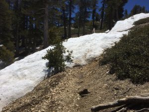
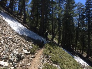
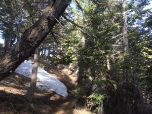
We started running into snow around 8.5k.  It got pretty thick in some segments.   Several hikers, Dave, and I bushwacked up several segments to avoid some of the sketchier parts.

Don’t Slip

David and I switched off on leading up.   I’m a little slower, but last longer.   David hauls, but stops longer.   Our styles are pretty compatible.   David is 60, about 6’3″, and in great shape.   He’s a semi-retired engineer, who spent last 15 or so in software (supply chain mgmt stuff).    Ran some sales/service groups so we had a lot to chat about.         

Finally made the spur to the summit (mile 377).   I was thinking about skipping, but some other hikers + David convinced me to go up.  Glad I did, it was fun.

Following one of the Young-ins up
Lunch Time at 9,400 Feet
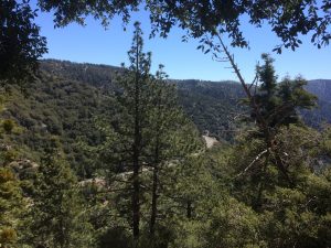
The View

After lunch, David and I picked up another companion.  Hollywood who is from Seattle.   This guy is a real character.   Mid to Late 20’s, college degree, done a bunch of different things from bartending, chef, medical work.   The funny parallel is that he assisted in researching how crows recognize faces of humans.    I remember reading the study.   I’m sure Quark would be interested in this guy.   They could do some bird bonding.  

Don’t have the heart to tell these guys I spent much of my youth shooting crows from the tractor :p. 

Next objective was 6 miles to get water from Little Jimmy Spring (Mile 384).   It was mostly downhill, but in typical PCT fashion there are plenty of little climbs along the way.  

Plenty of Snow on the way down

I have my filter setup inline with my platypus bag, so at any stop I just dump my bag in the water, fill up any bottles, and leave.   Most folks spend another 15 to 30 minutes squeezing water through filters, etc.   

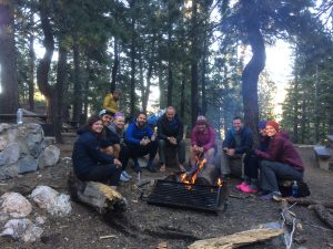
Since I was done early, I headed off to check out the campground.   It was an awesome setup….too good to pass up.   When David and Hollywood turned up, it didn’t take much to convince them to stay.   Bunch of others showed up, we Hollywood and I built a fire, had a good time socializing.   Even the cat lady showed up later in the evening. 

Campground
Left to Right: Dexter, Kid and his Mom, Iron Man (yellow), Hollywood, David, Tissue, Huntsman, his wife, and Happy.

Only 15 or so miles today, but one of the best days on the trail.   Hopefully tomorrow is more of the same.        


Day 26 – Nero in Wrightwood

This will be a short one.     Today’s objective is to hike 5 miles to hwy 2, catch a ride to Wrightwood, resupply, shower, and stay the night.  

Off We Go

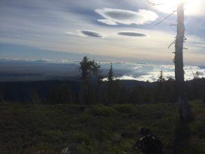
 It was still super windy in the morning.    Probably gusting to 40 over the ridge lines.    Checkout the high clouds.   The high winds are turning them into flying saucers.

Aliens?

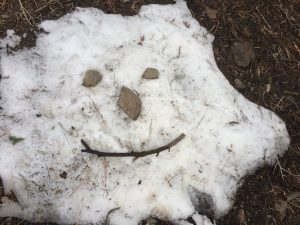
I found a patch of snow in need of some decoration.  Did this during a short break. 

Happy Snow Face
Another Snow Blob

Turns out most of the trail was around and through Mountain High Ski resort.  

Around mile 366

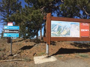
“Inferno Ridge”, heh.

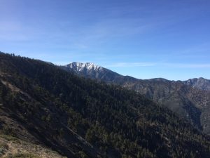
Baden-Powell Beckons

Got to Inspiration point, Mile 369, around 9 or 10.    Cars were bringing up folks from town to restart the trail, so getting a lift was easy.  

We just hung around the parking area and when a drop-off would come in, we’d swarm the car and start loading our packs.    I’m not sure if the owners knew what they were getting into since as soon as they got to town, the same thing would happen with hikers wanting back on the trail.   It must be hard to break the cycle 🙂 

I picked up my bounce box at the post, bought a bunch of food and got the last room available at one of the cabins.   Walked into the local mini-mart and was given a free hotdog by the owners.    That was awesome.   Wrightwood has a brisk hiker support business going.  

Catching some sleep, breakfast, then hitching back to trail tomorrow.


Day 25 – Back into the Clouds

Storm blew out yesterday and today seems like low temperatures and windy.   Perfect for what is ahead… a climb back up to 8k.   Scarfed down the free Best Western breakfast and packed a couple of extras from the table.   Good start for the day.

Back on the Trail
Or Under It

After crossing under the 15 and some railroad tracks, the climb was reasonably consistent and gentle.    Just following the wash on the ridges surrounding the valley.  

Looking back after 3 miles of climbing
Slowly Upward

Here is a little video of turning a typical corner on that climb.

<Vid>

After a bit of climbing on the Southeastern ridge, there was a small decent through the valley to cross over to a much bigger climb into the tree line.   Ran into a little trail magic sponsored by the folks at Wrightwood.   Unfortunately, just water here.   A beer would have been nice.  Even if it was a PBR.   

I like the Advertisement

Turns out that water cache was all that was going to be available for a while.   This one at the base of the hill is dead and gone.

Dry

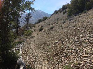
The bulk of the day was climbing through a huge burn area.  Apparently this fire started near the Cajon Pass and just burned up higher and higher.   First the brush, then bushes, mid-sized trees, and finally the pines and redwoods.    I think this stream of pictures tells the story.

Finally leaving the burned area around mile 352


By now I was getting above 6k when I ran into a guy named David.   He was around my age, but was a little flustered.   He had just woken up from a nap and said he was disappointed with his energy level.   I suspect it is altitude….I feel ya Dave. 

After my David encounter, it was time for some late Lunch.    Found a graded fire break that offered some good views from the ridge line and boiled up some noodles. 

Noodling

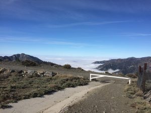
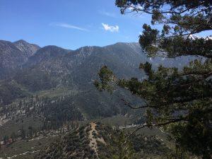
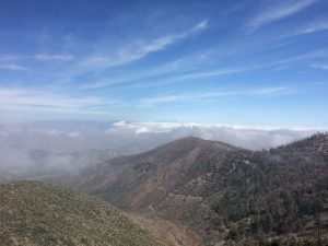
Climbing continued up to 8k.   Got above most of the clouds, so there were some cool views looking down into the valleys.

Dave caught up to me during one of my pauses

David Loving the Thin Air


Back in the Loam


My goal was to get to a campsite within 5 to 7 miles of Hwy 2 so I could nero / resupply at Wrightwood tomorrow.  Unfortunately that meant camping at 8,000+ feet which is usually a bad idea after a storm rolls through since it can get cold.  
And, of course, that’s what happened.  Around 4 it started to get windy.   First it was 20 mph gusts, but they kept growing by the hour.    I started taking compass readings of the wind (coming directly from the West), so I could better pick a protected campsite when the time came.

First option was at 361.   Nice camp grounds, but on a completely exposed ridge.   Some folks were setup there with a camp fire, but it looked miserable.    I hung out a bit until a 30 mph gust of wind blew a bunch of embers into some people’s faces.    Time to move on.

Next was a place called Guffy Spring Campground.  Was the same situation, bunch of folks, top of an exposed ridge, fire being fanned by hurricane winds.   

I found a decent spot below the ridge line near the springs.    I was just getting some back-scatter which was manageable.  Spoke with a couple of dudes who invited me up to the fire, but that setting looked miserable.   Just crawled into my tent, ate a poptart, and crashed.  


Found out later that the winds got so bad up there a couple people just gave up, took down their tents, and night hiked.  I had to layer up in my bag.   Pretty sure it dropped below freezing. 

Did 22 miles and 6k of climbing.  It was a good mileage day.