Woke this morning still feeling dehydrated. Most of the folks are packing up and leaving to get some miles in before the heat. I decided to lounge around today near the water and get my mojo back. I’m not leaving until there is no trace of yellow in my piss.
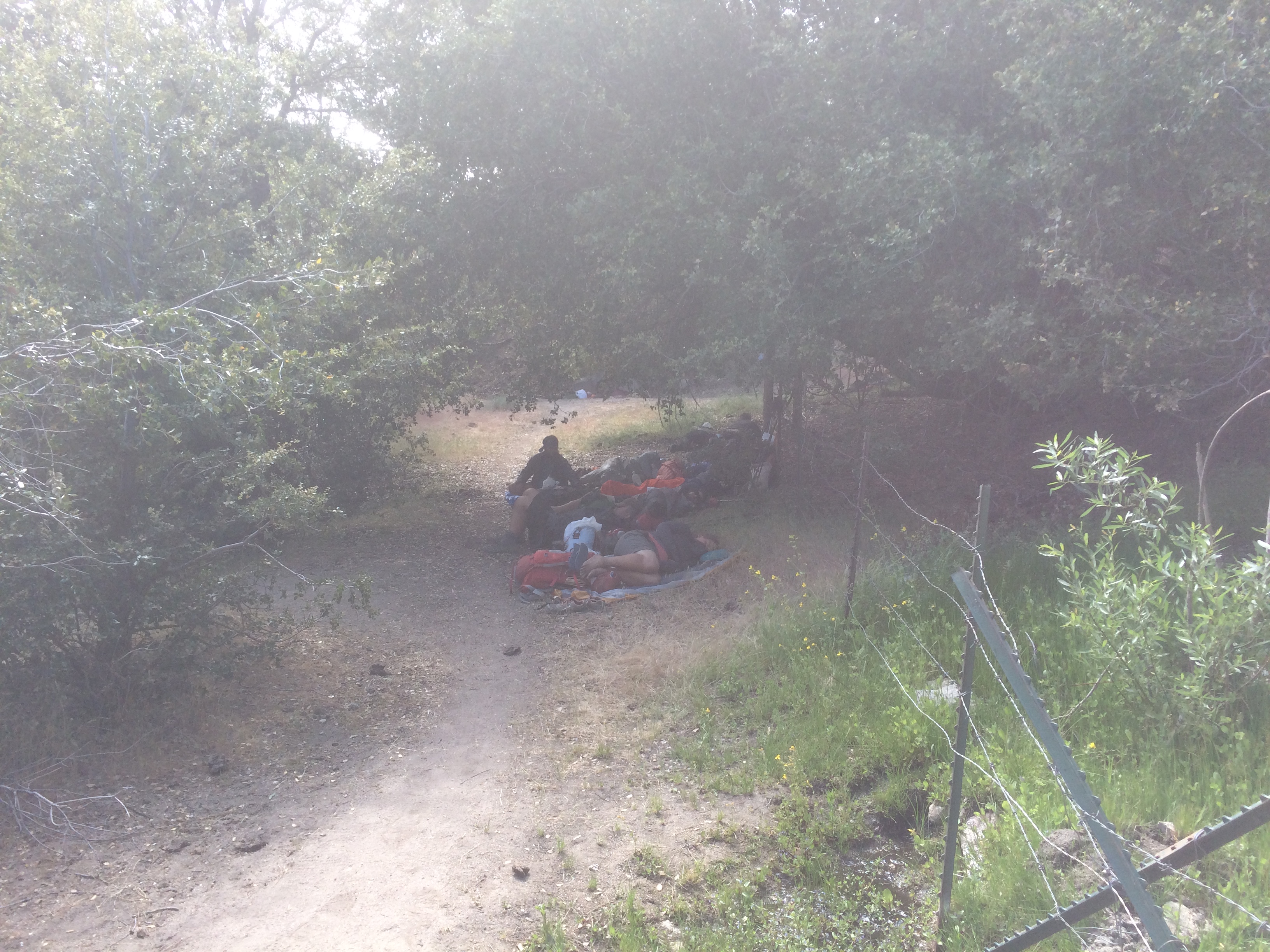
Washed my clothes in the stream and hung them out to dry. Setup my solar panel and charged all my bats. Grabbed my pad and spent the morning blogging while watching hikers trickling in. Went from a couple people to 30 by 11:00. All were laying around for the day in two clumps.
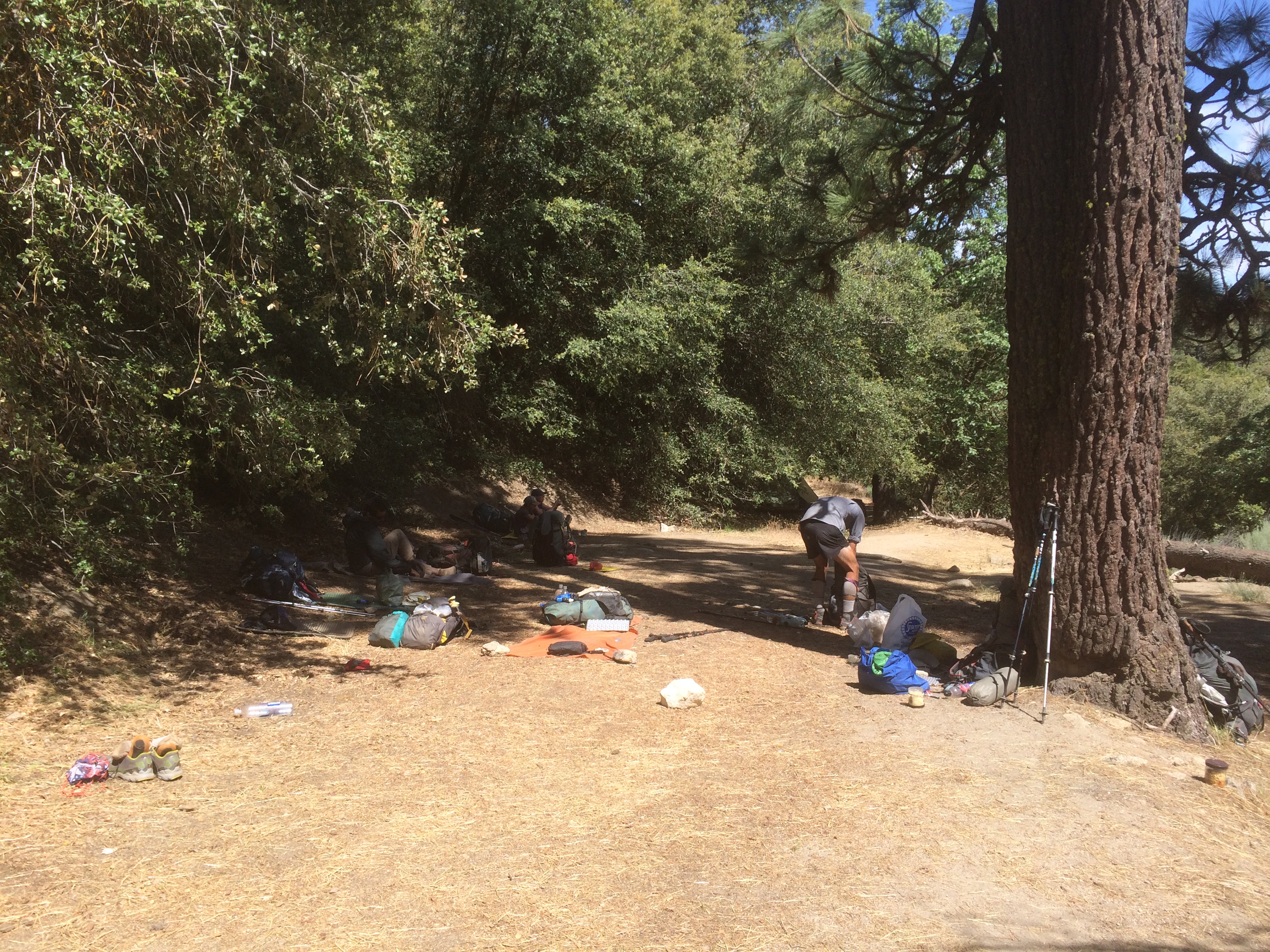
Hung out with Thirsty Detour for a big chunk of the day. He’s an actuary from Salt Lake. He is averaging 15’s, so I probably won’t see him much after this. I think the Camels he is smoking might have something to do with the mileage numbers 🙂
While we were chatting, the sick dude from a couple days ago showed up to chat. Apparently he had setup yesterday around the same time as me, but has been laying in his tent all day. His name is Payless. He told me that every time he thinks he’s feeling better he loads up, gets a few steps in, then barfs. He’s a young, slim, fit kid. Not much fat reserves.
Thirsty and I felt bad for him. Payless thought maybe some food with lots of fiber might help. Thirsty dug into his pack and found a nutrition bar. I just threw him my food bag and said to pick out anything he wanted. He ended up taking a couple granola bars and all my trail mix (bunch of nuts and stuff). Fine by me, that mix sucked anyway.
Plenty of hiker sympathy, but nobody wanted him to be too close to him. He must have already picked up on that, because his tent was setup alone far from the group. He wondered back to his isolation chamber and went to sleep. Later I wondered by his tent and saw a gigantic rattler slithering a few feet from it. Must have been 5 feet long. That got him a little excited. Poor guy can’t get a break.
By 3, I was feeling the urge to get on the trail. I’m pissing clear, potable water. I should bottle this stuff!
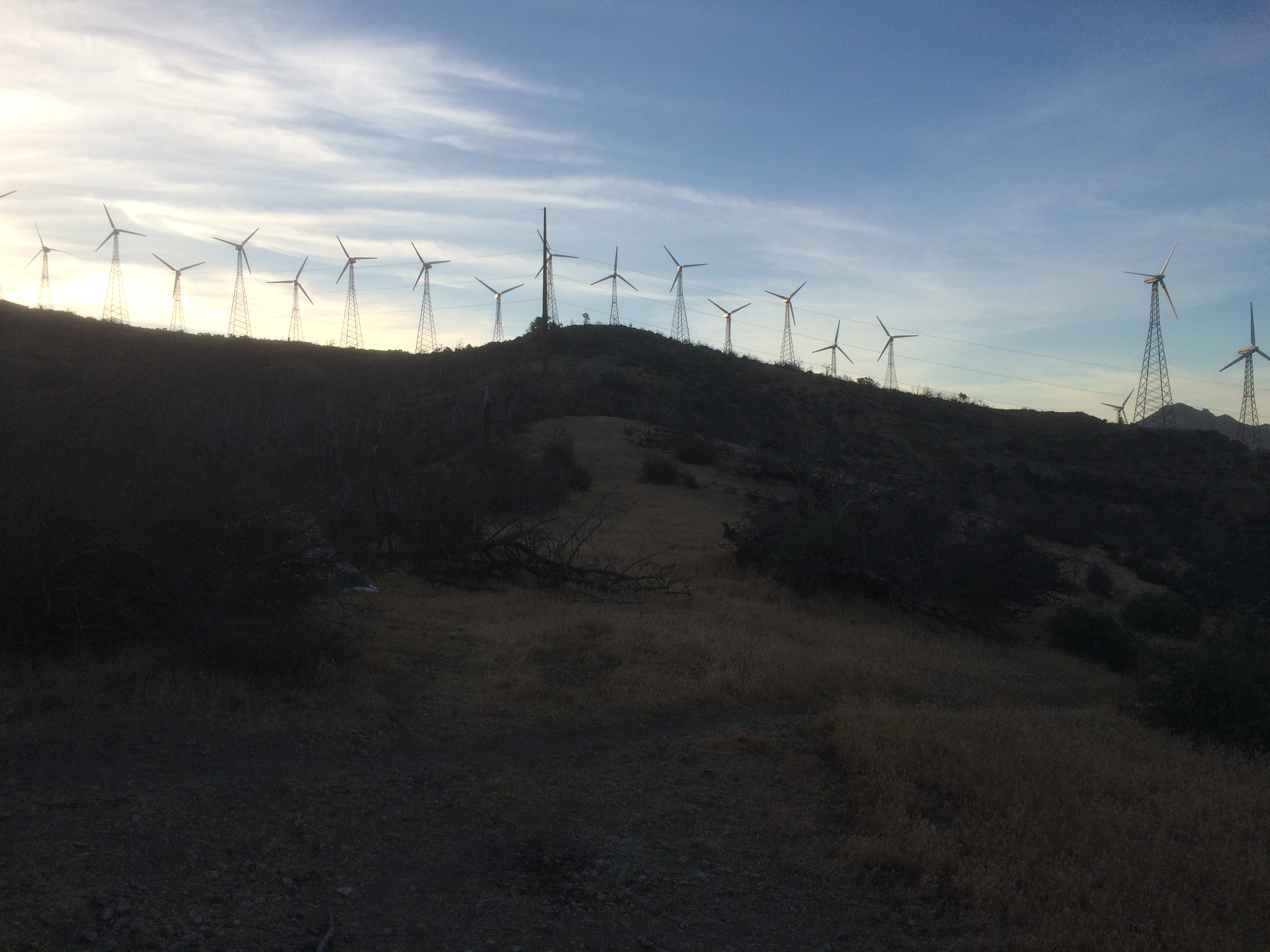
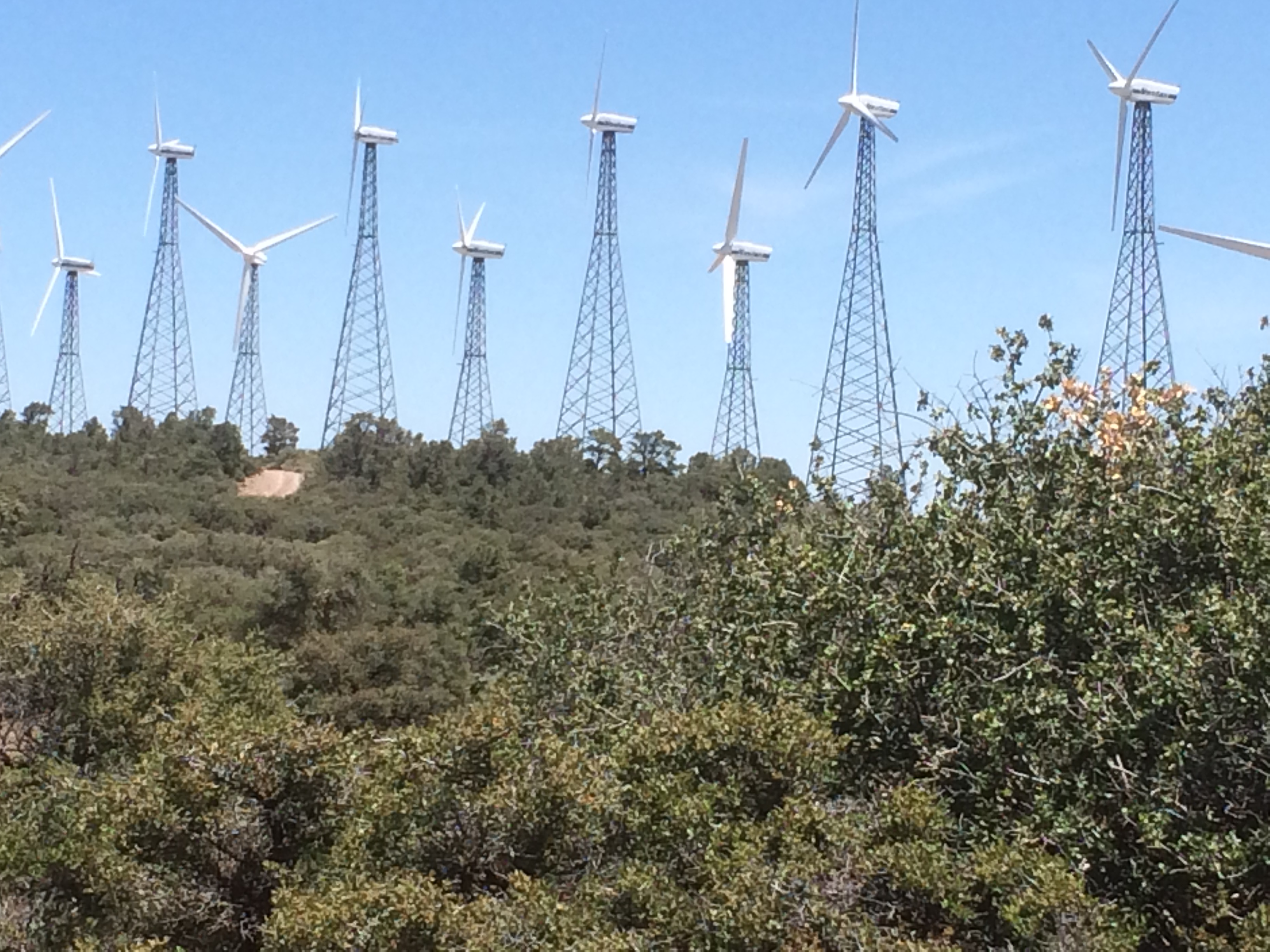
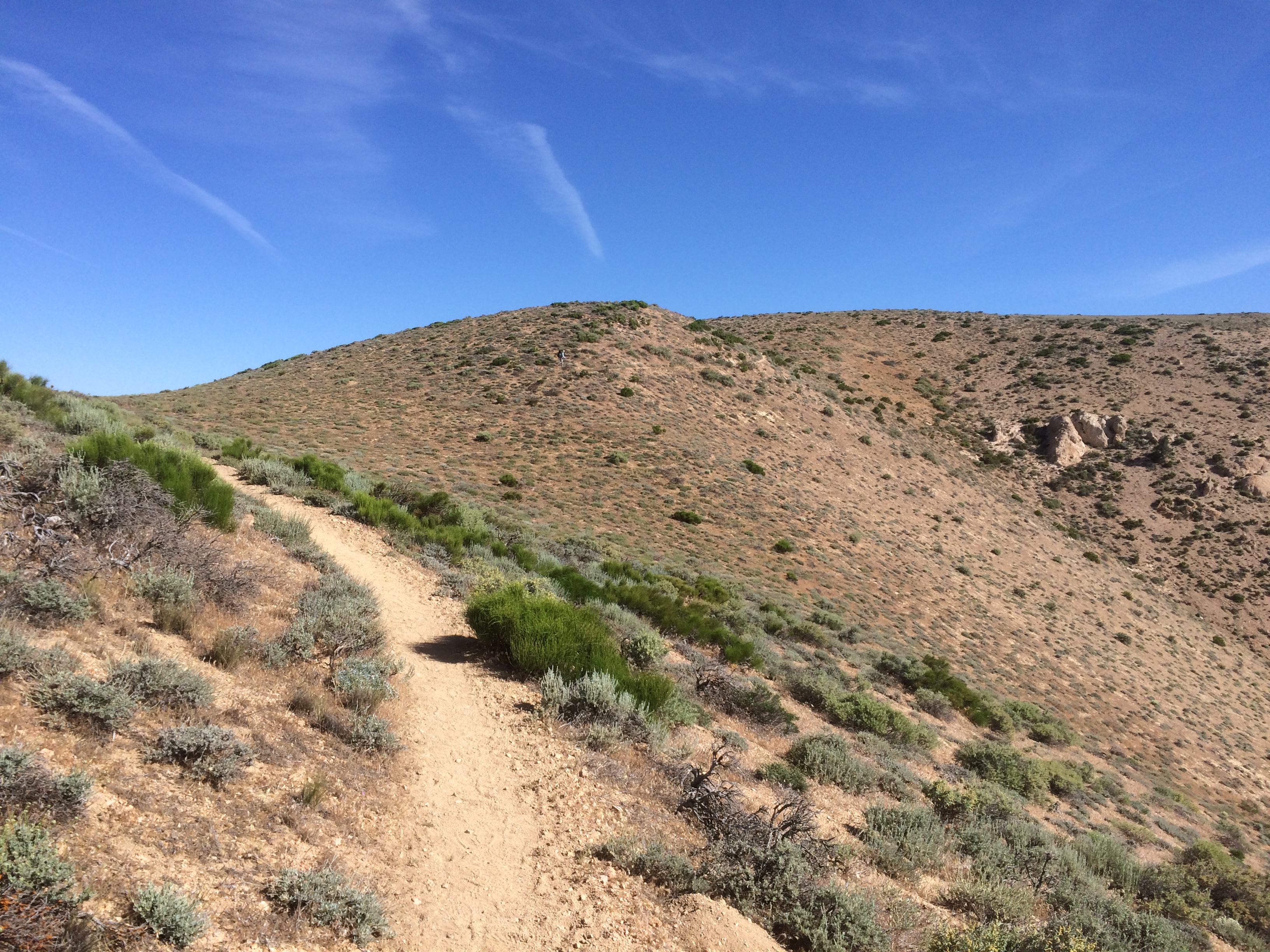
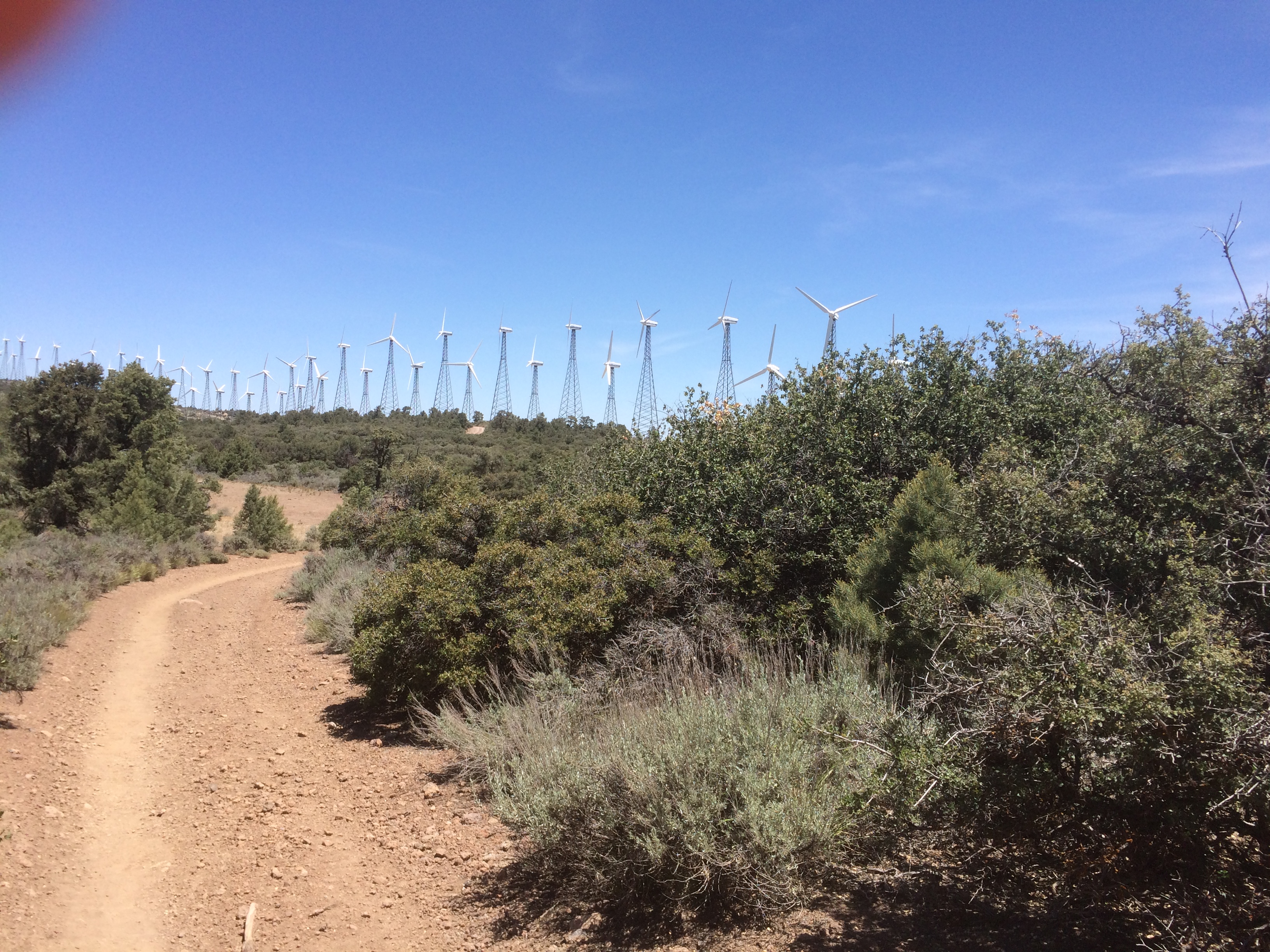
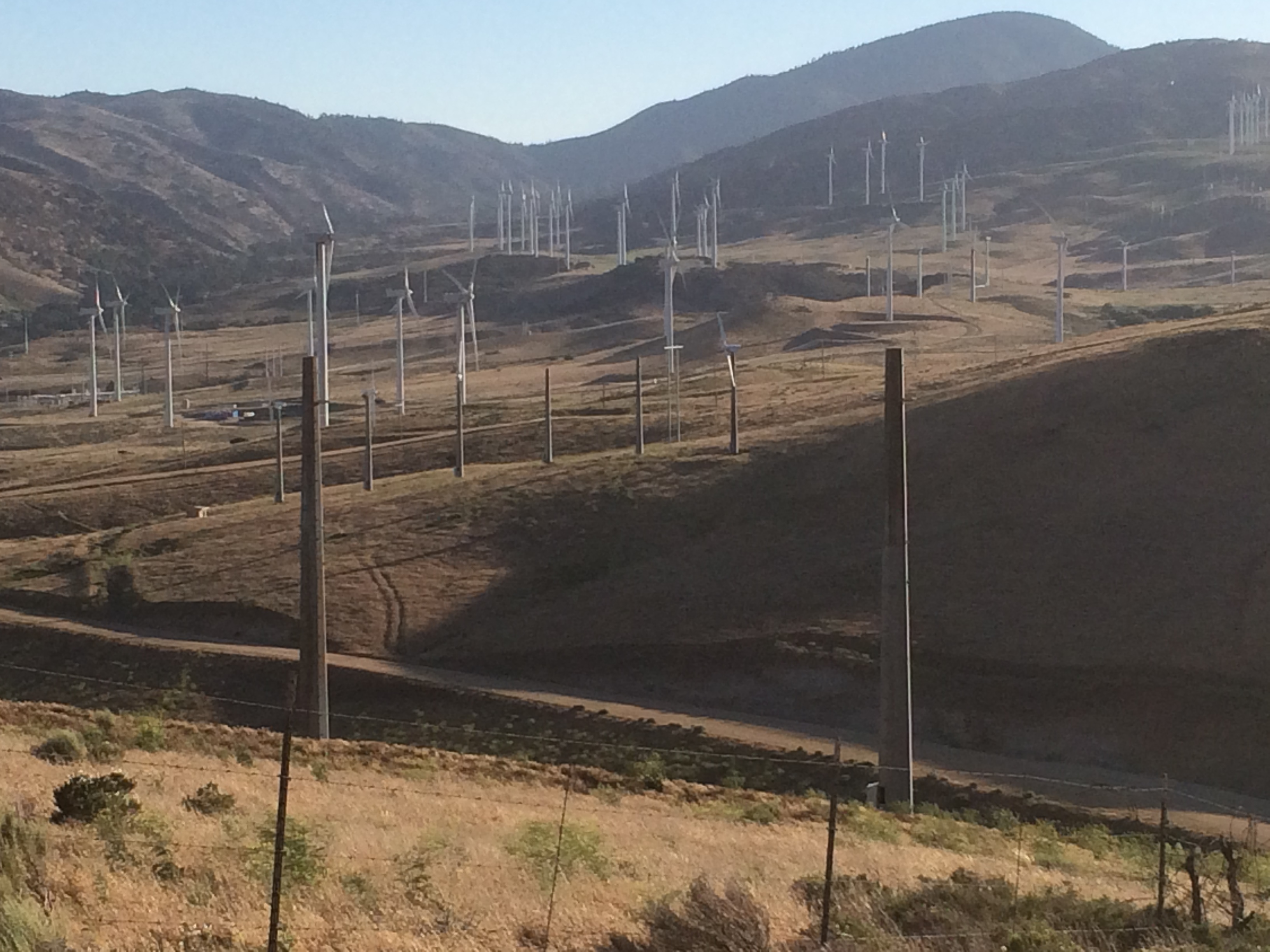
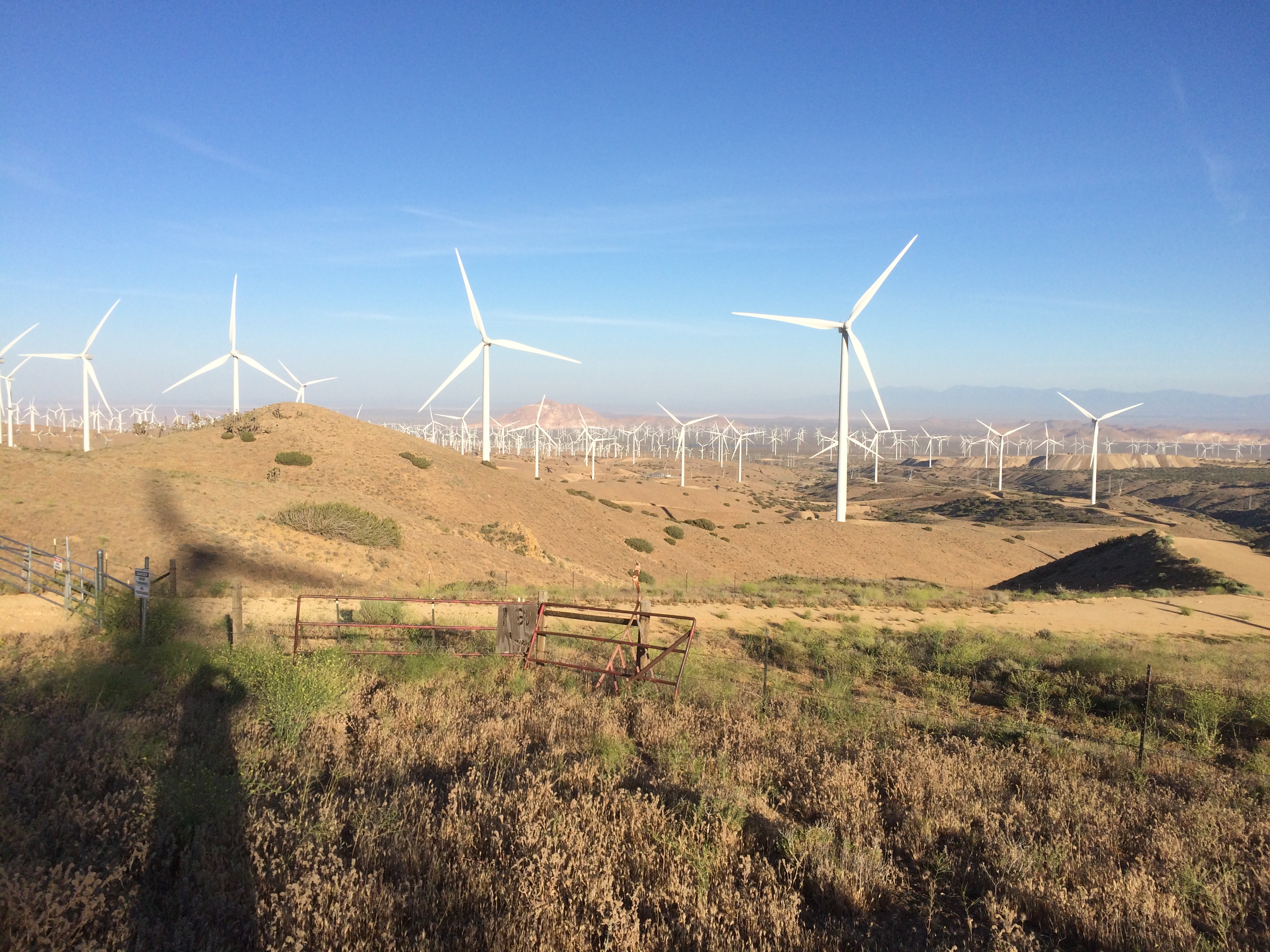
I’m sick of this heat. I’m sick of all this wind. I’m REALLY sick of the desert. I’ve been hiking the desert on and off for 6 weeks and enough is enough. Decided that I’m going to rock the trail tonight.
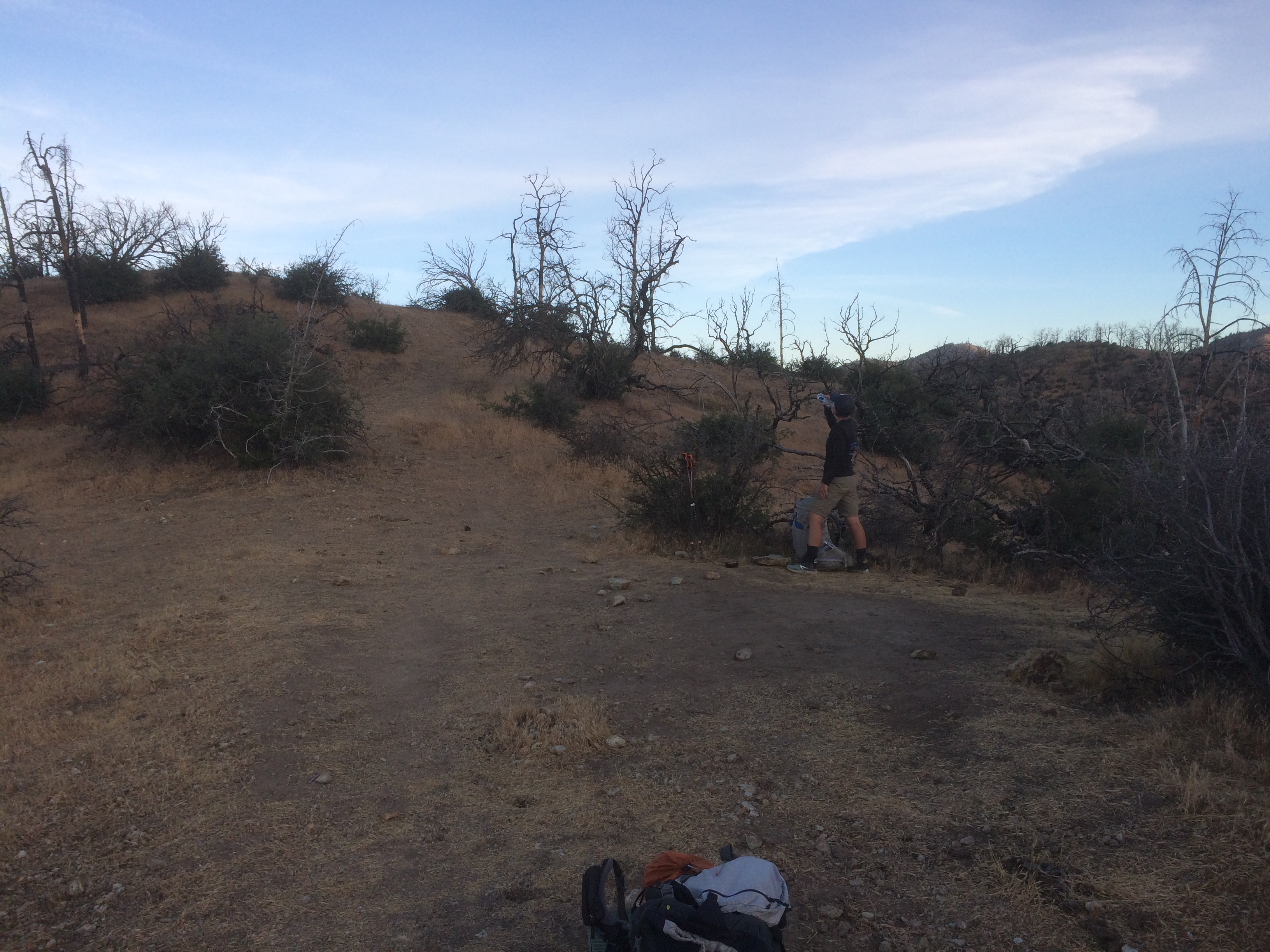
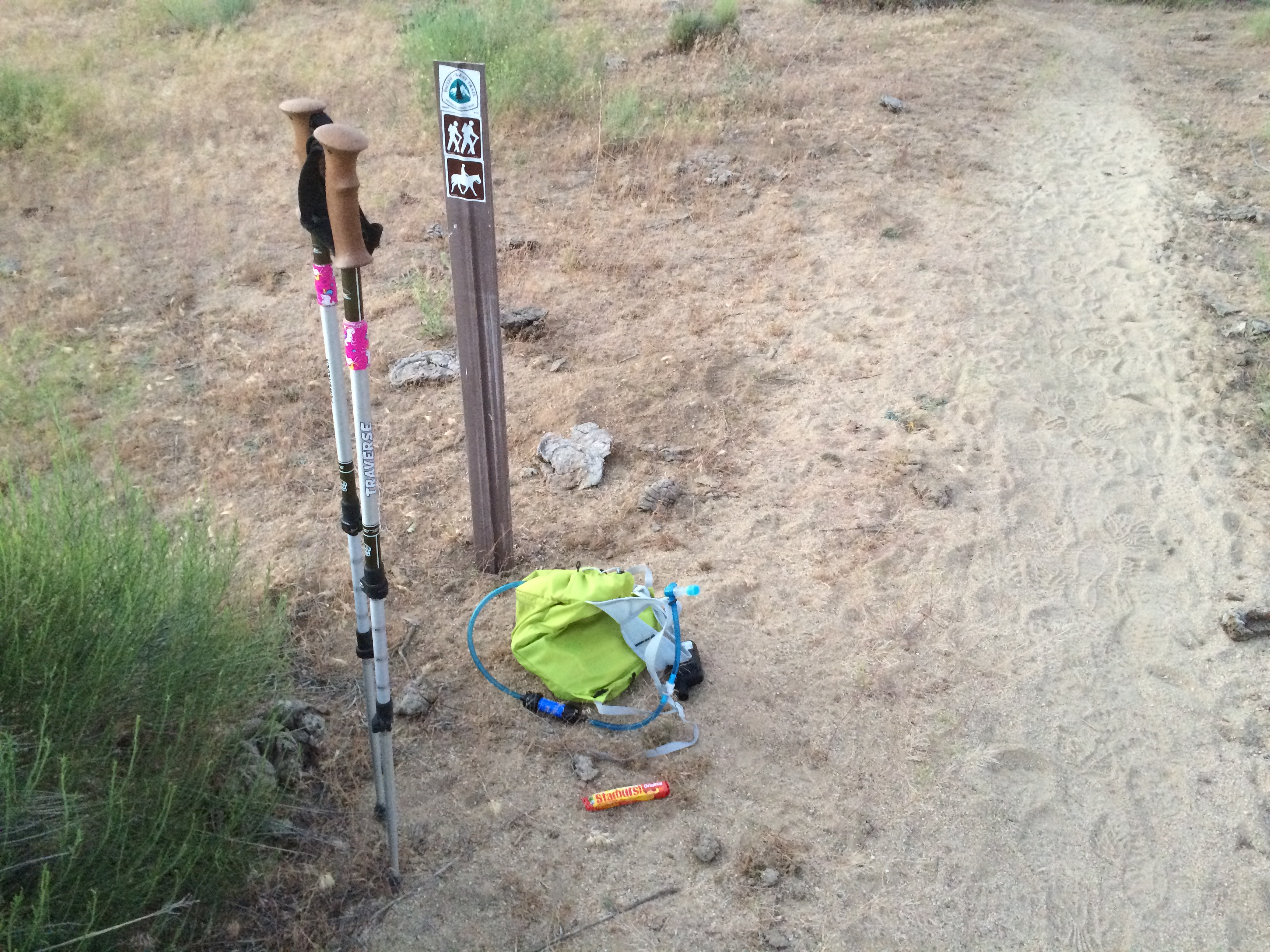
I wrapped up my right leg in a new compression bandage using some tips from a guy with a similar problem. Picked up my pack, said my goodbyes, and clocked in at precisely 4:00. I’m hiking second shift tonight and there is plenty of overtime available.
SECOND SHIFT
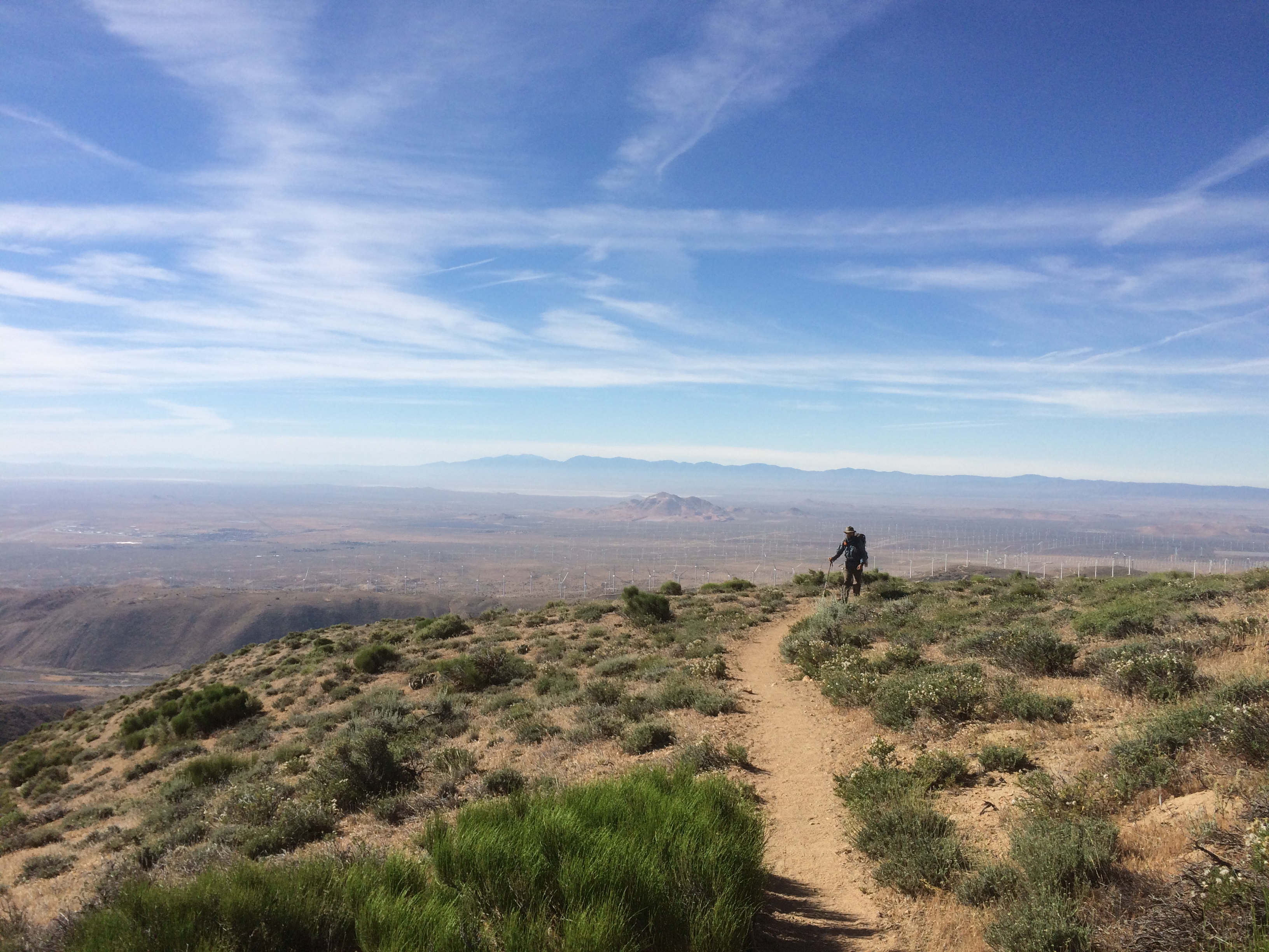
I left with 5.5 liters of water, so I’m back to a 40 pound carry. The temp was 80 and dropping. I’m feeling pretty good.
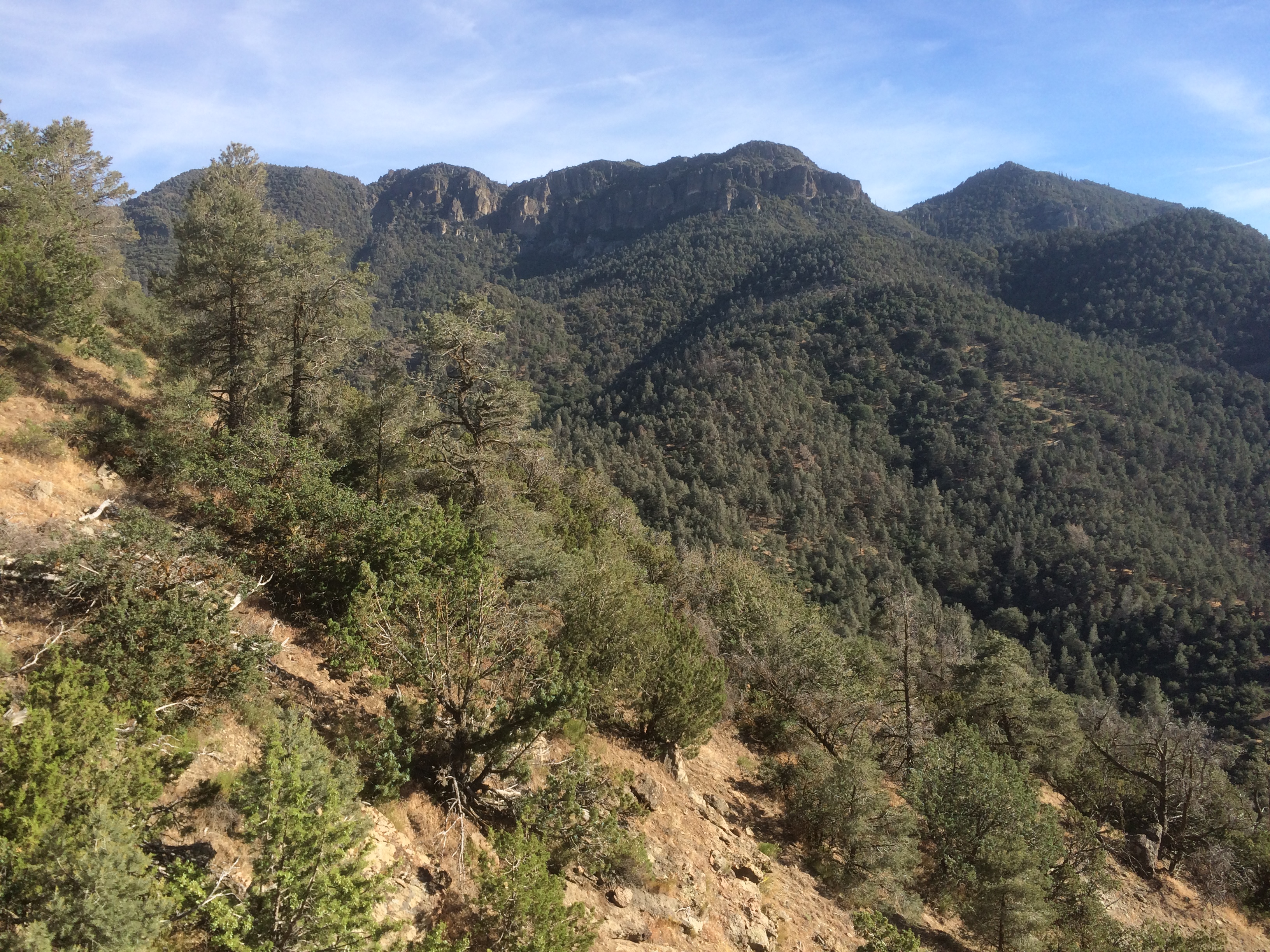
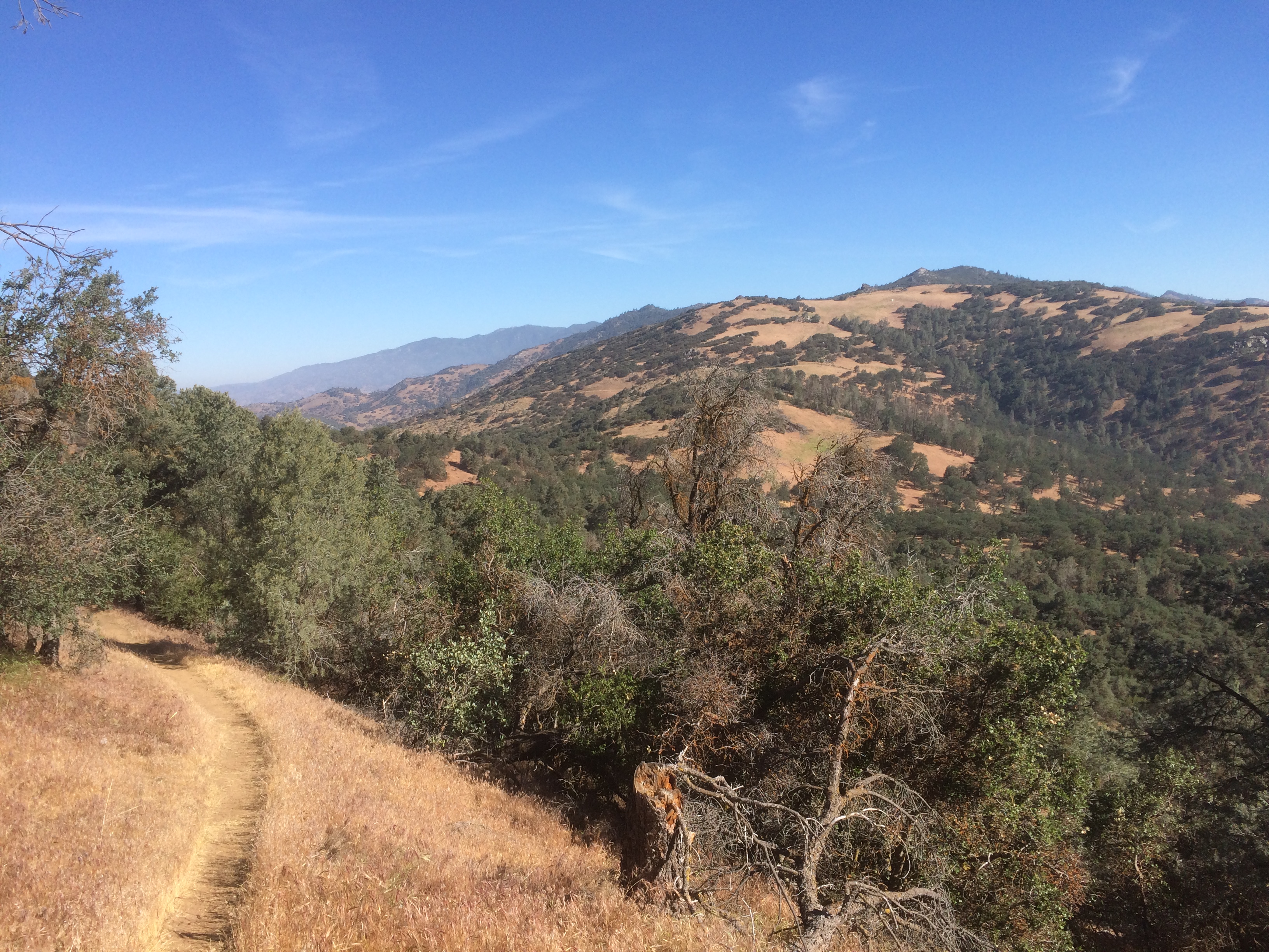
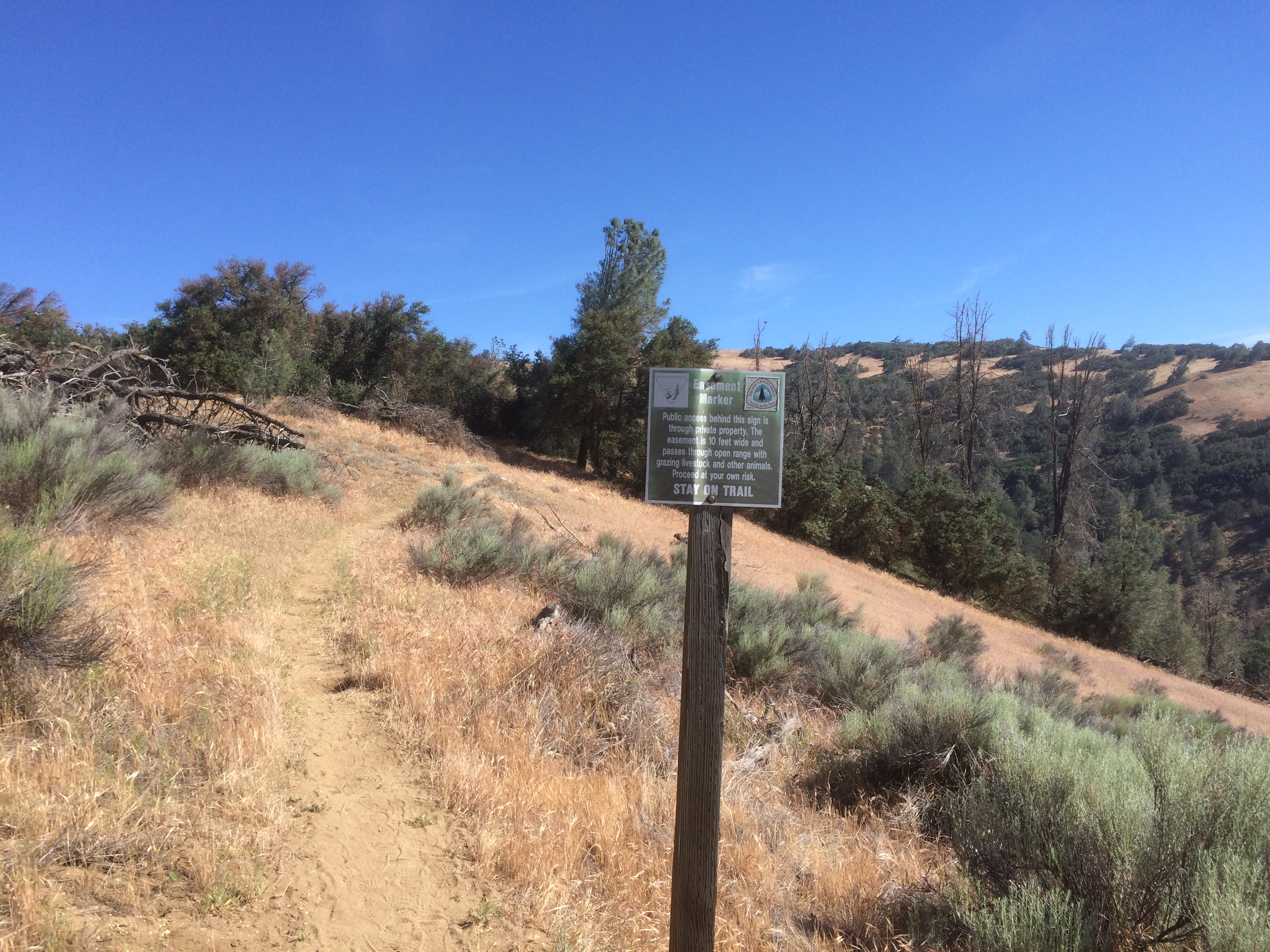
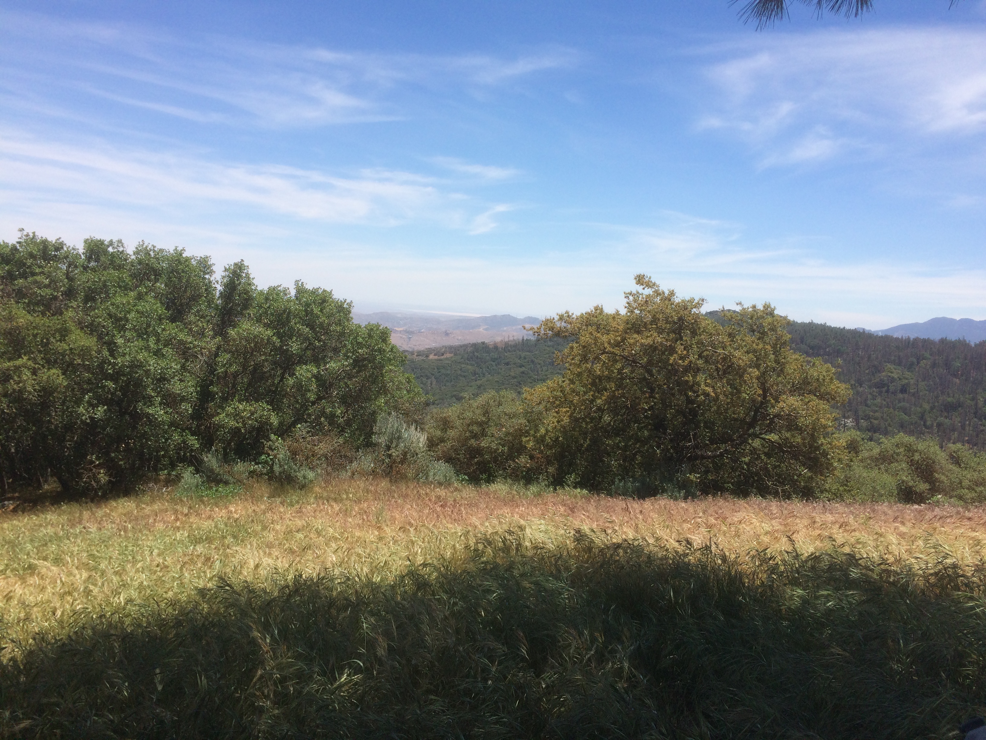
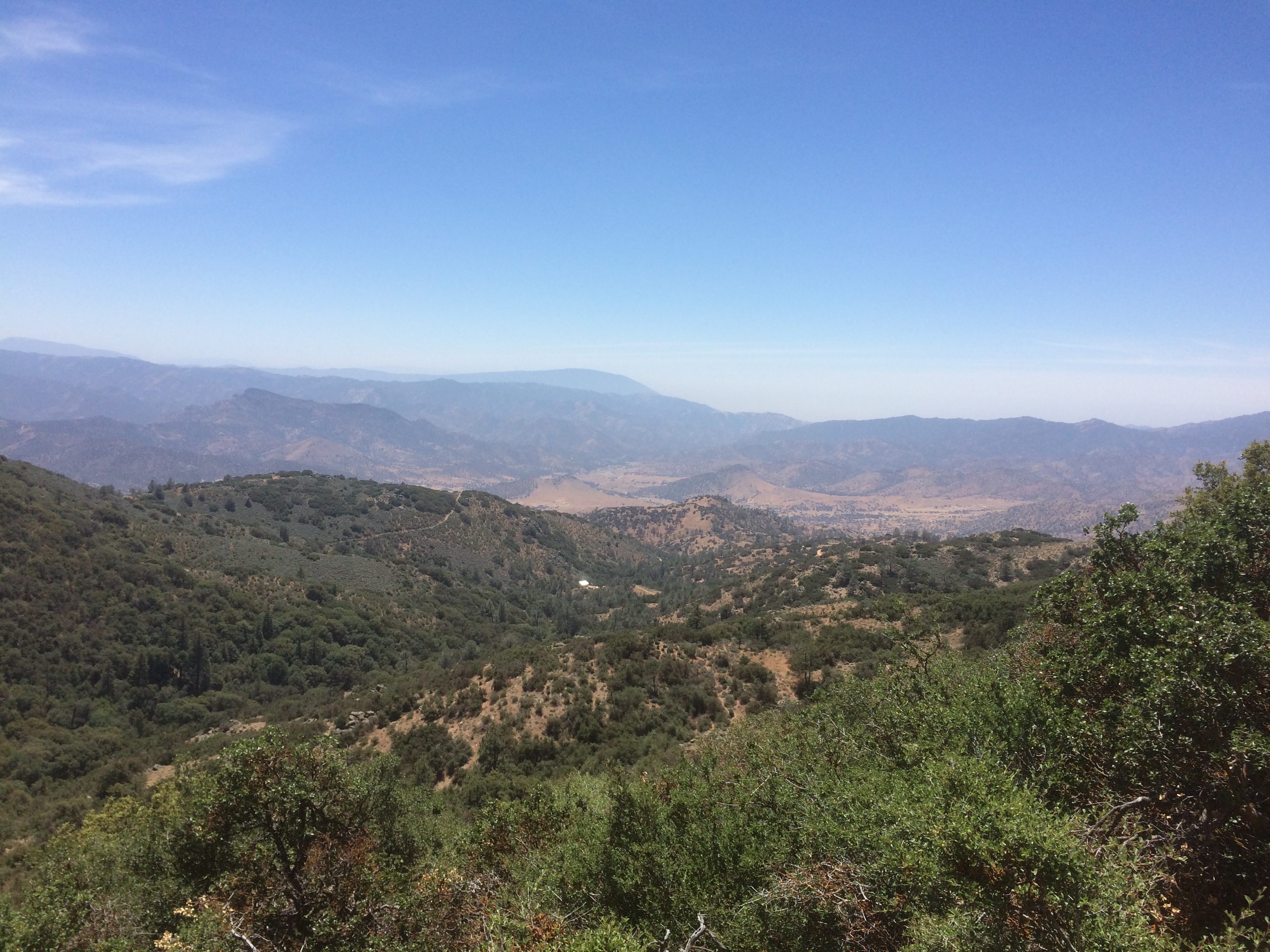
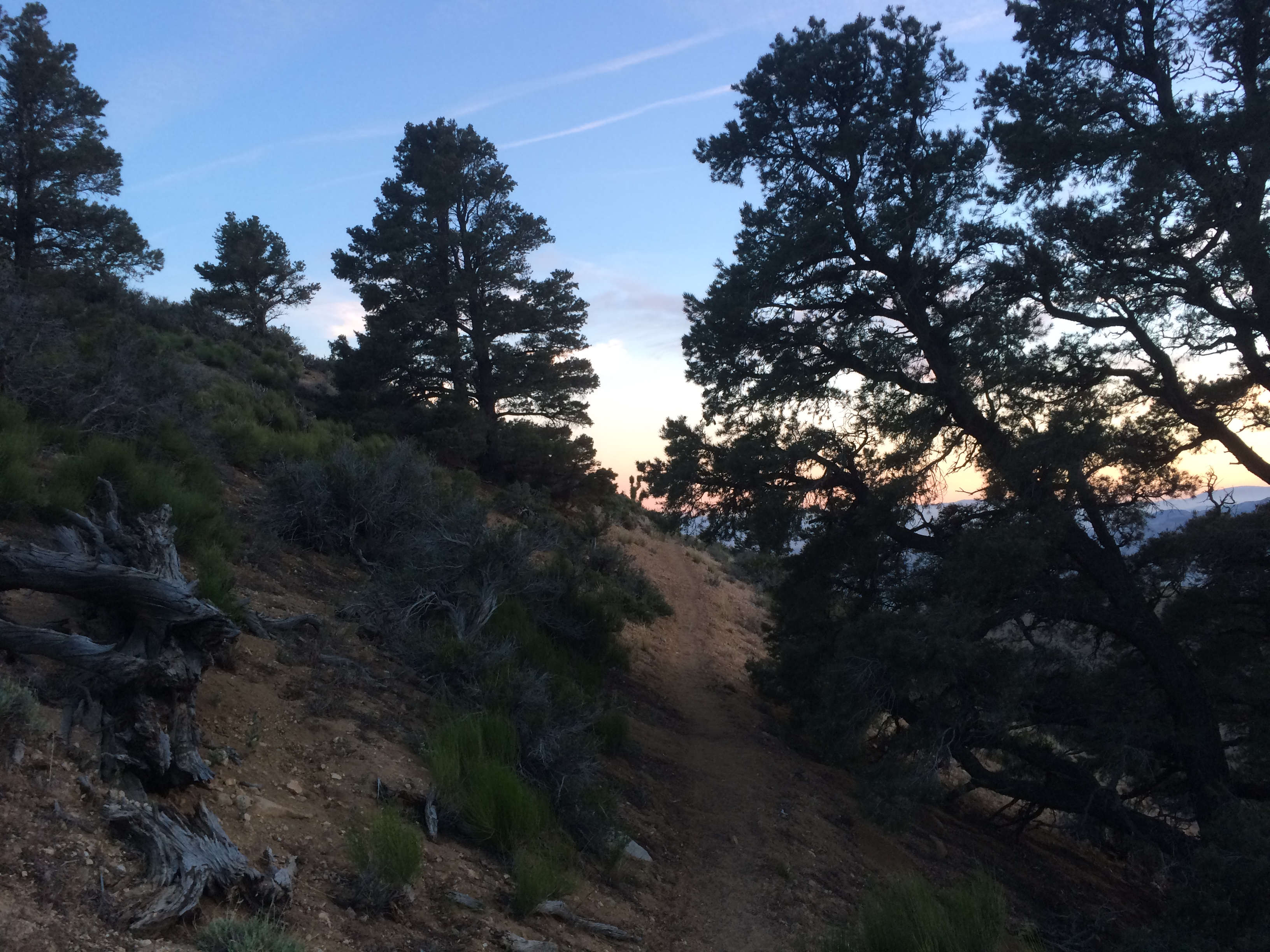
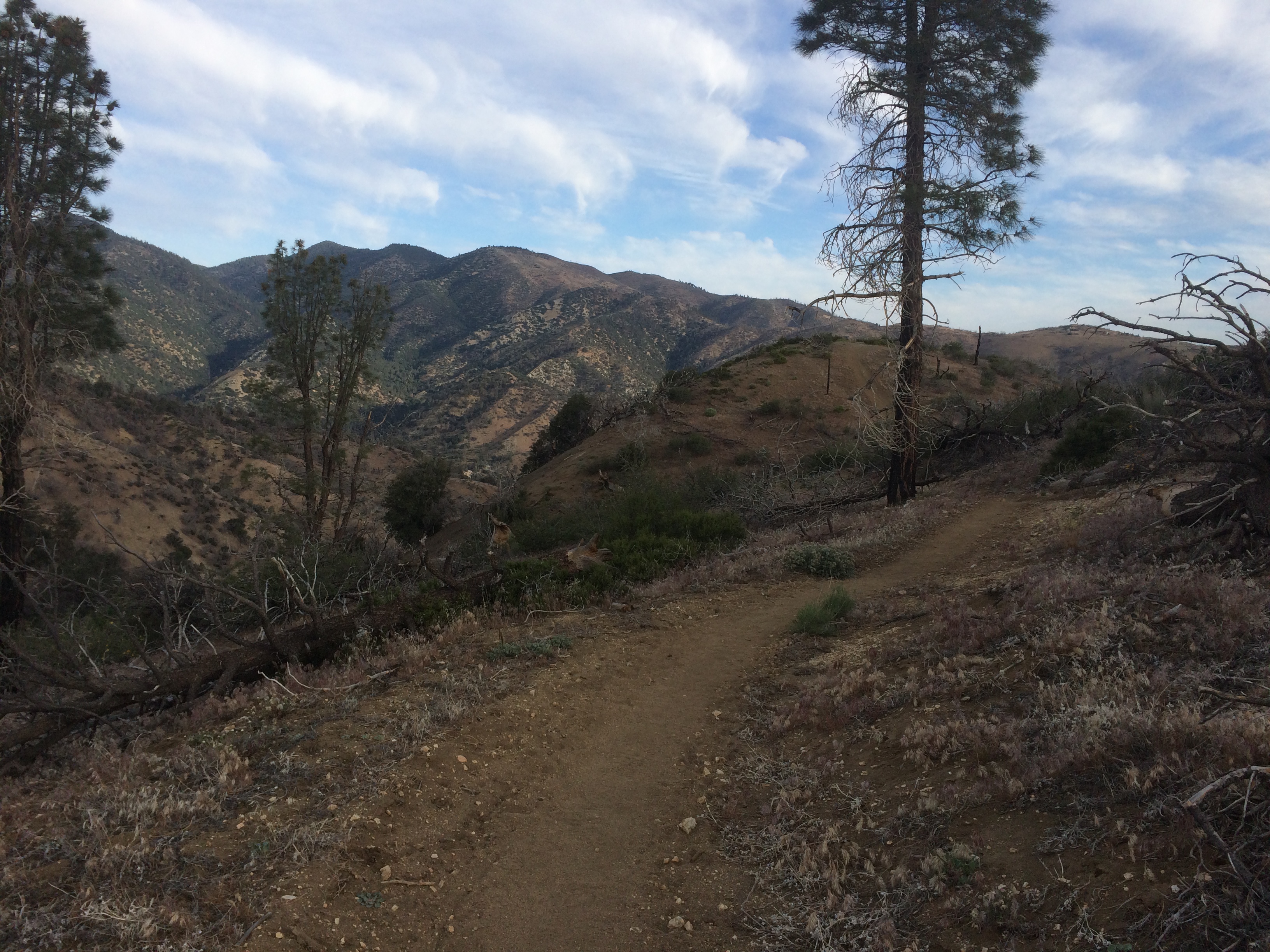
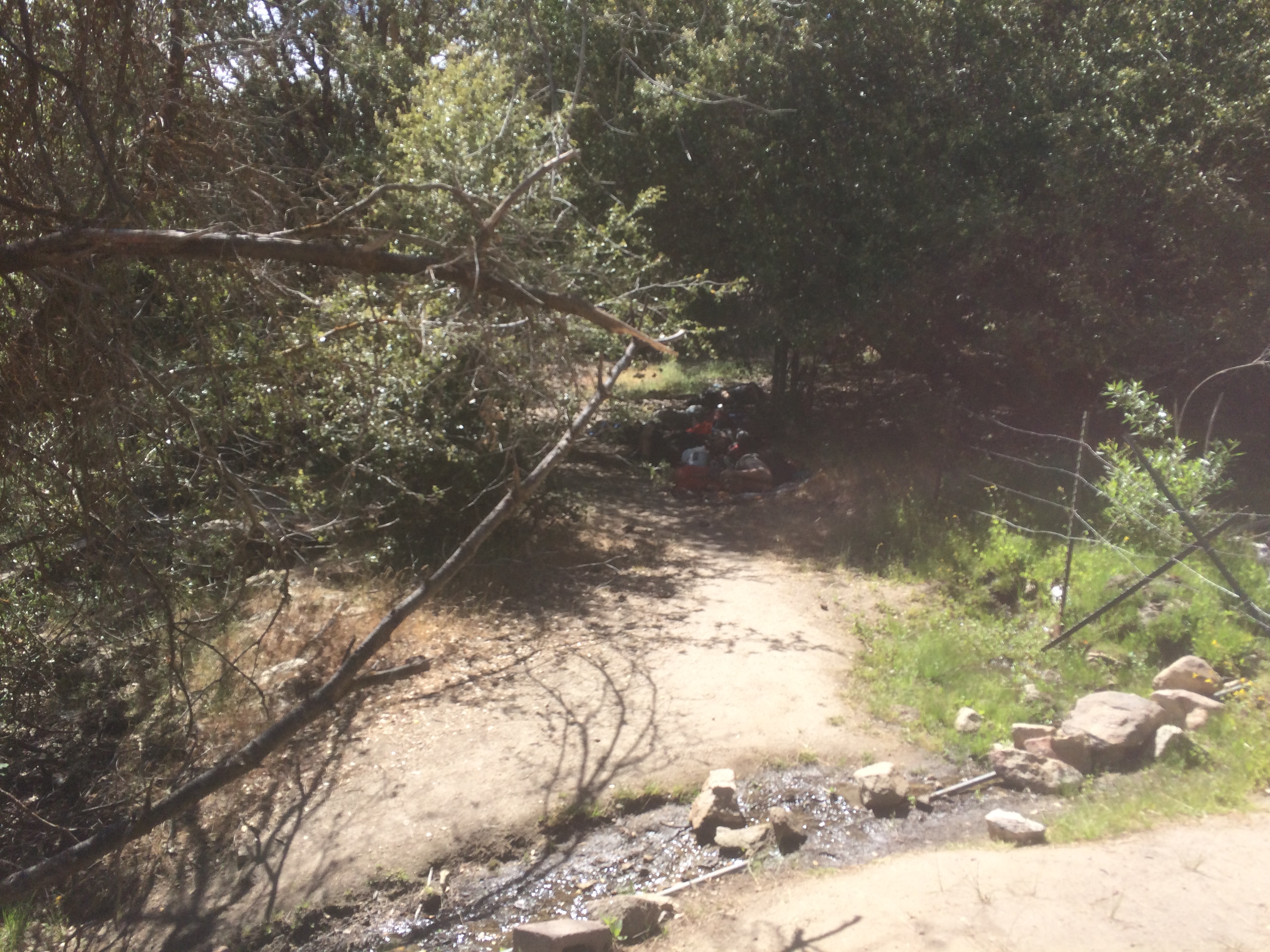
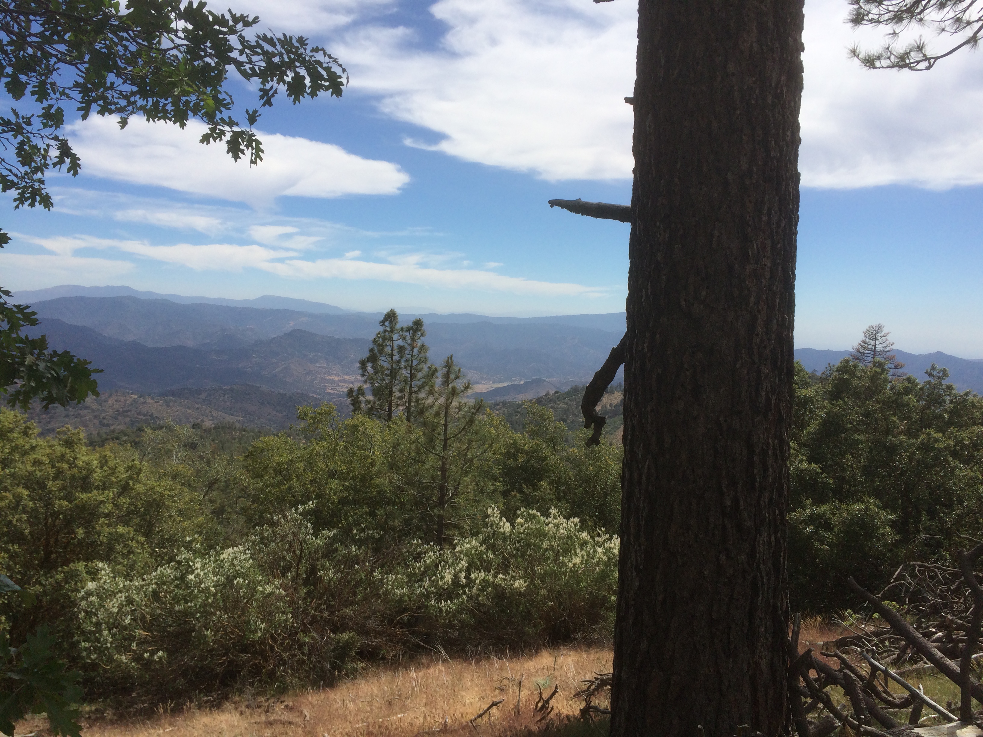
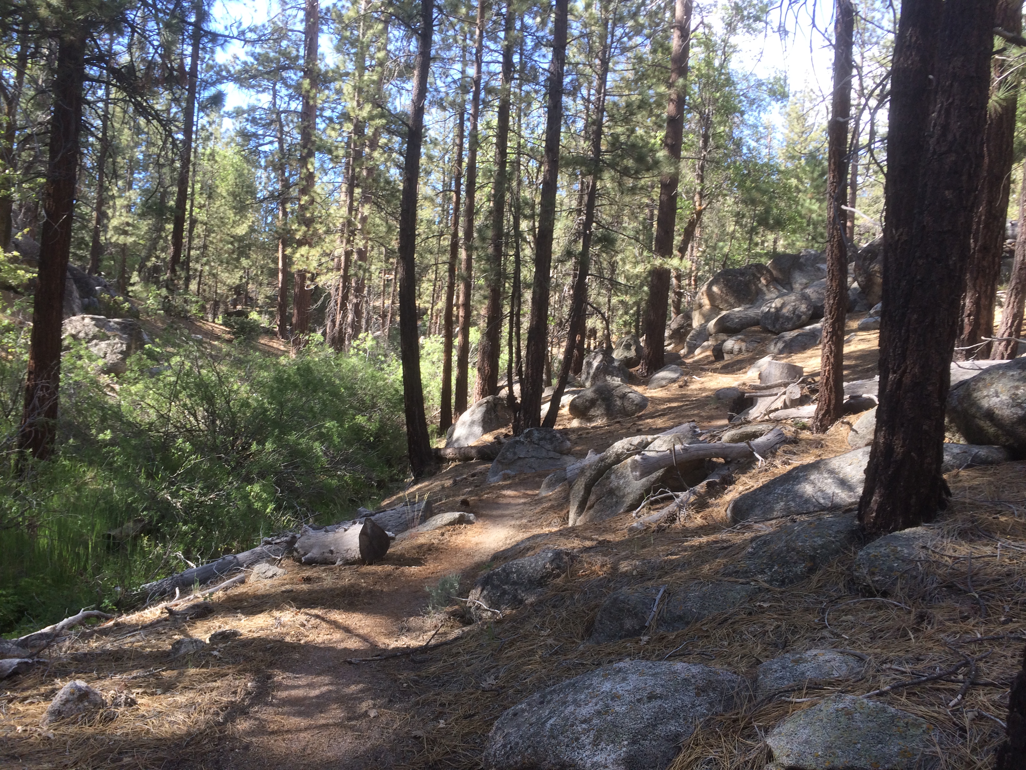
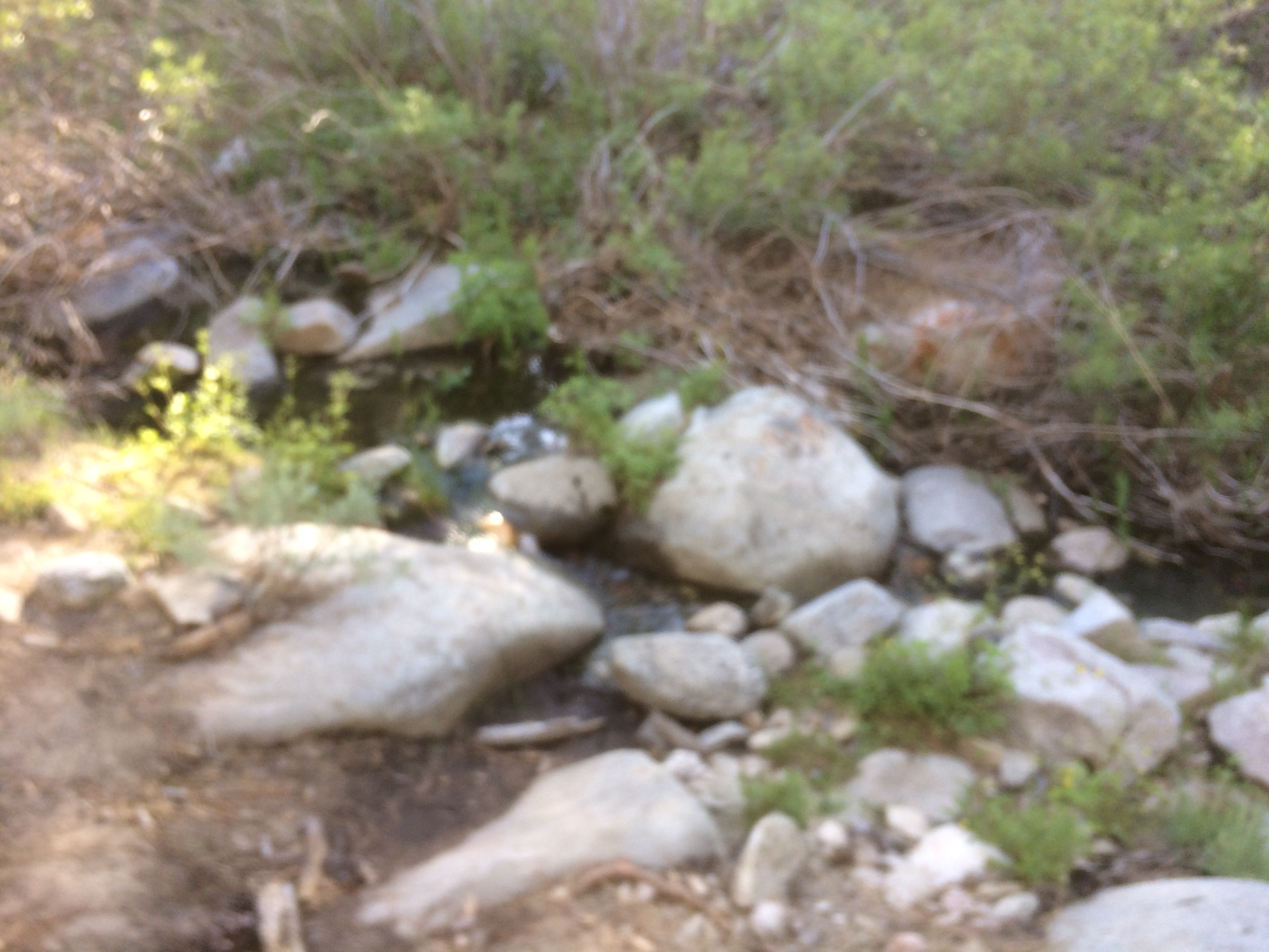
There was some small climbing up to about 6.9k. In the tree line so the trail was pleasant. There are some streams during the 6 to 8 mile stretch before the decent into desert misery.
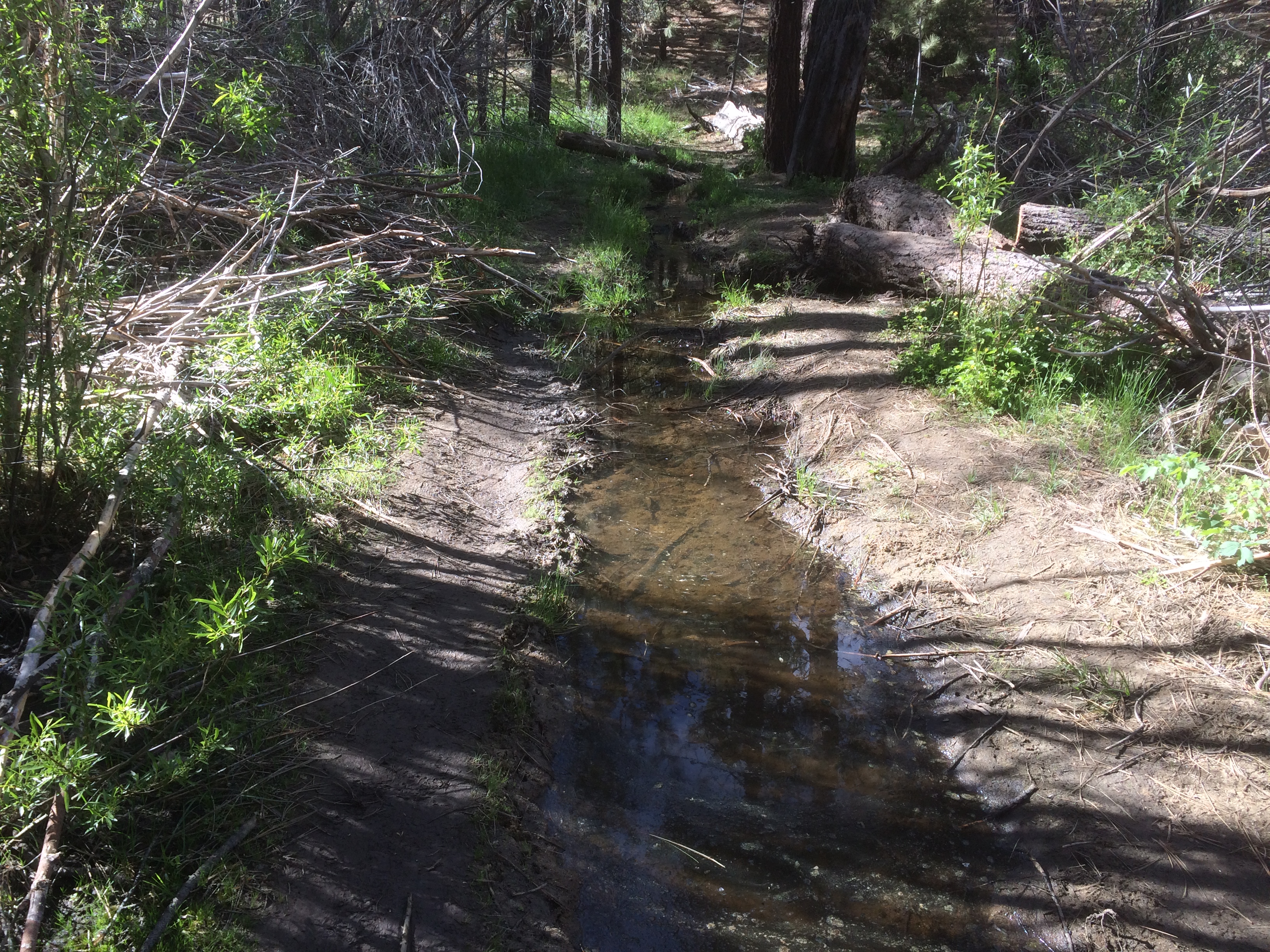
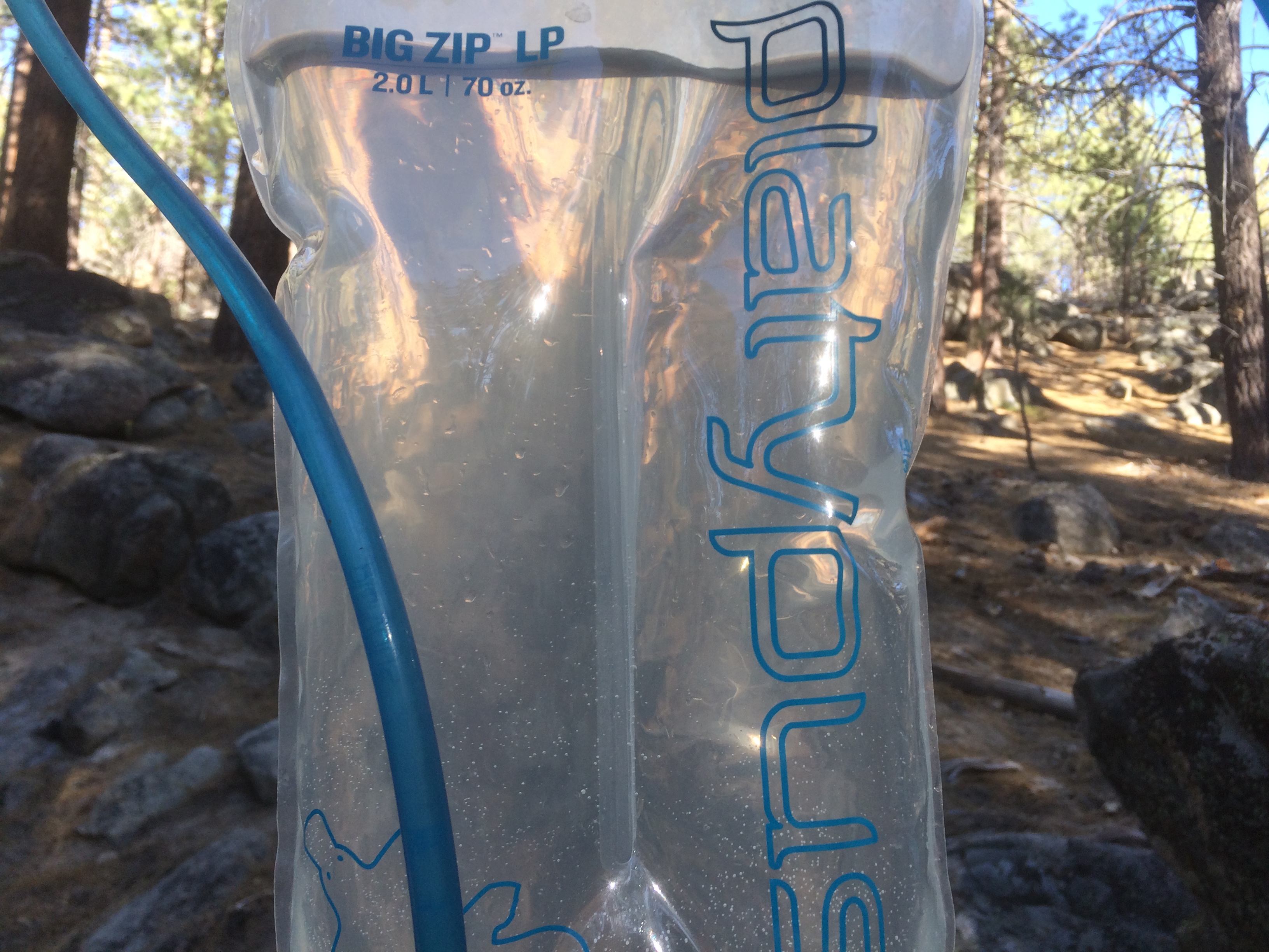
It was nice to actually see more than a trickle of water. I’m water loading as I walked sucking down 2 liters in 6 miles. I refilled at one of the stream crossings.
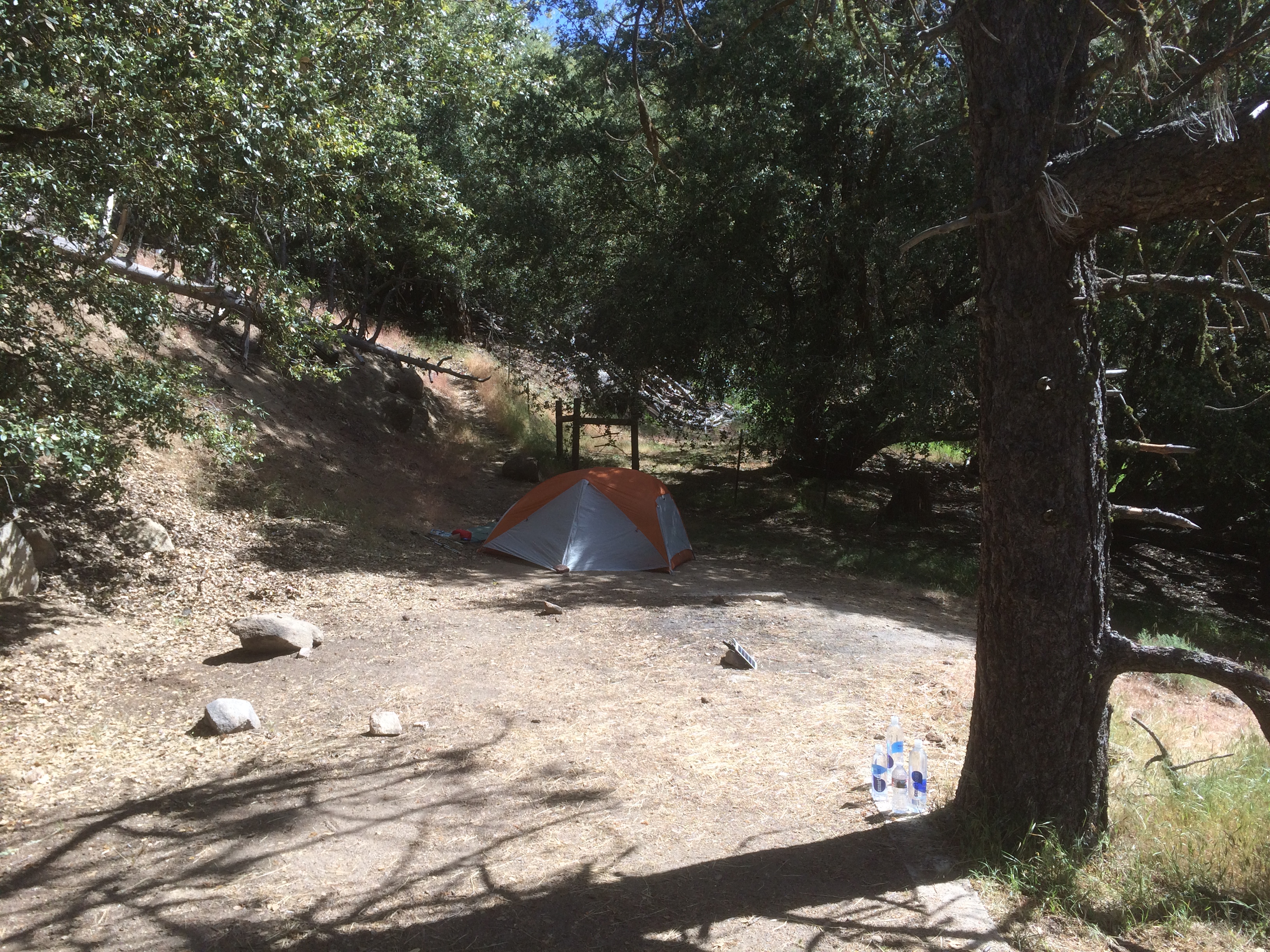
Stopped for some dinner at 7 at a camp site. Most folks are setting up, I’m going to keep moving.
Trails continued to be nice for a few more miles.
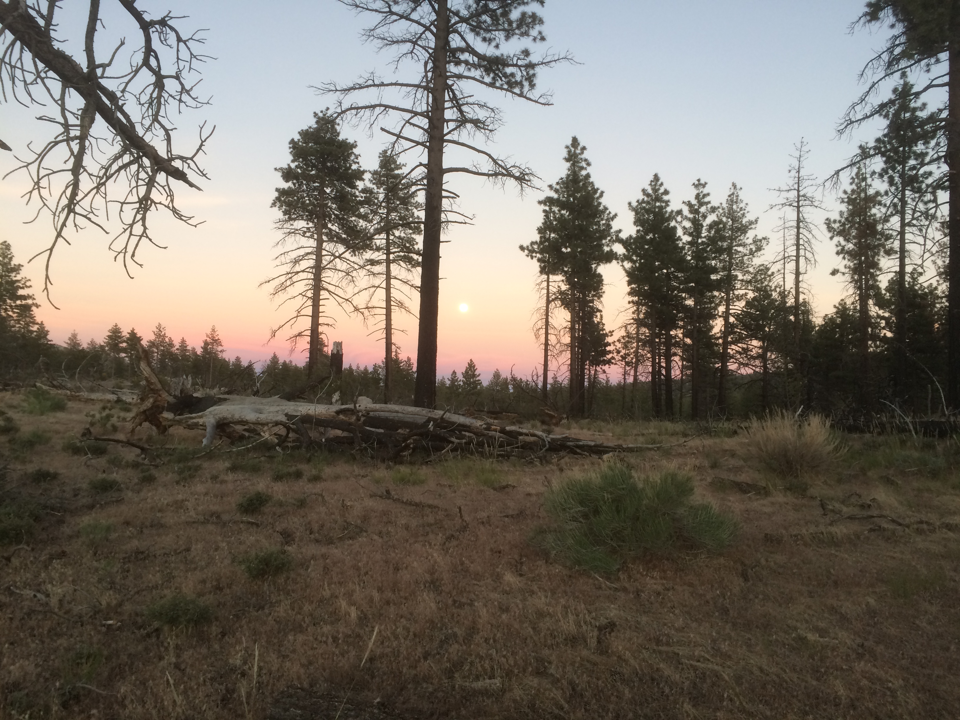
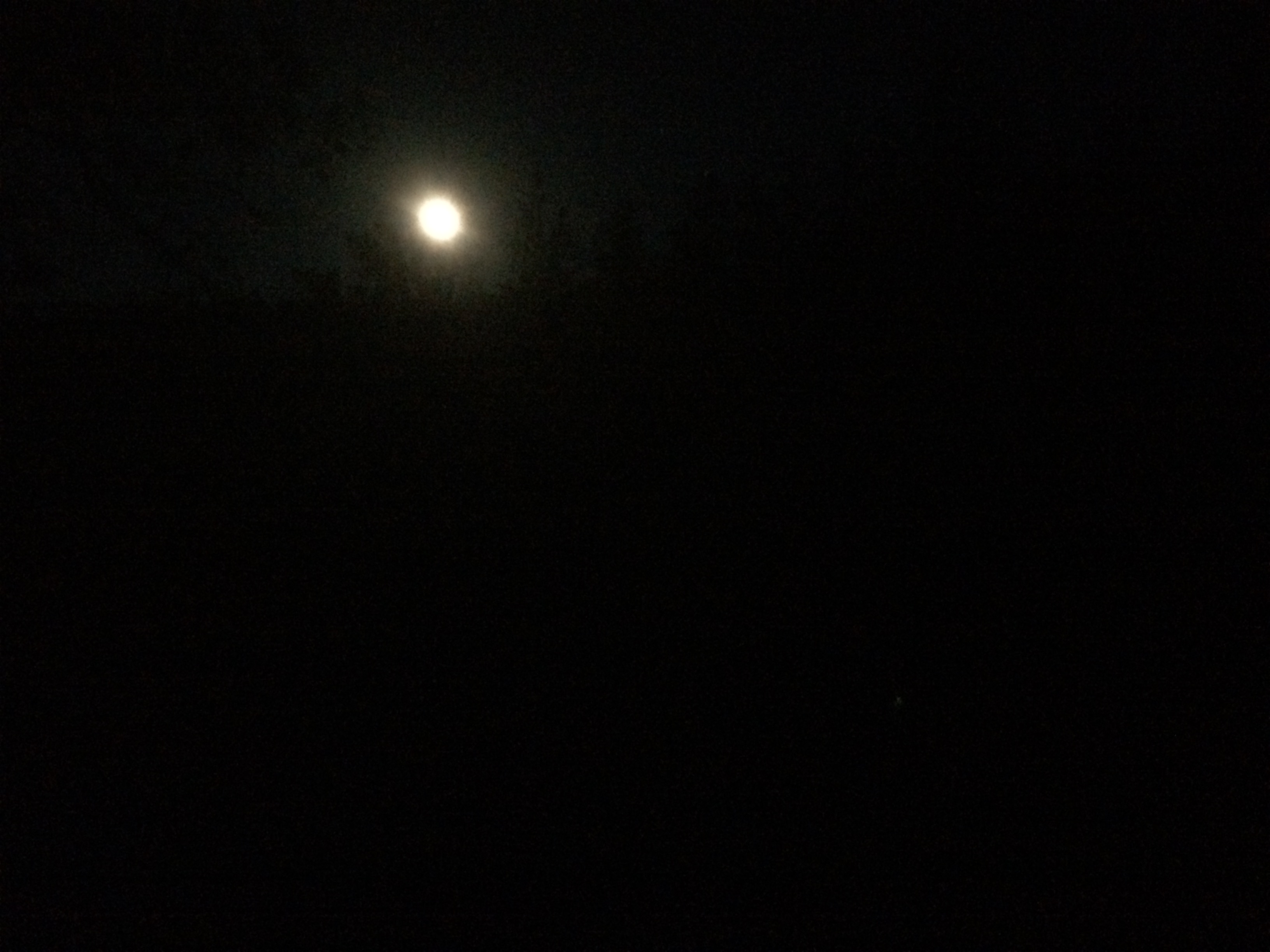
It was cool walking into the dusk. As the sun was setting to the West, the moon was rising to the Southeast. Looked like a full Moon.
Crossed some burn then headed downhill. The few unburned trees began to disappear around 11. Had my headlamp on, but only needed to use it occasionally. Most of the time I was just hiking by moonlight. Had the headphones blasting music from my play list. Then it happened.
Werewolves of London starting playing.
Looked into the sky and saw a full Moon…..
And let out a long howl….
…..and Salty J was transformed.
The rest of the night was a blur. Hiking by moonlight until 4 am through crazy 25 mile/hr winds with nasty gusts to 40. Sand blowing everywhere. No shelter, even on the lee side of the hills. Passing hikers cowboy camped in sad little piles trying to get shelter from the wind. None of this bothered the Wolf.
Sleep came about 4am. Woke up a few hours later at 7am laying on a ground sheet under a Joshua Tree with my sleeping bag covered in a sand. There were some instant coffee packets and snickers bars missing from my food bag.
No hikers were harmed during this episode, but a few may have had their tents peed on. I’m pretty sure the Wolf peed on my left shoe during a particularly bad gust of wind.
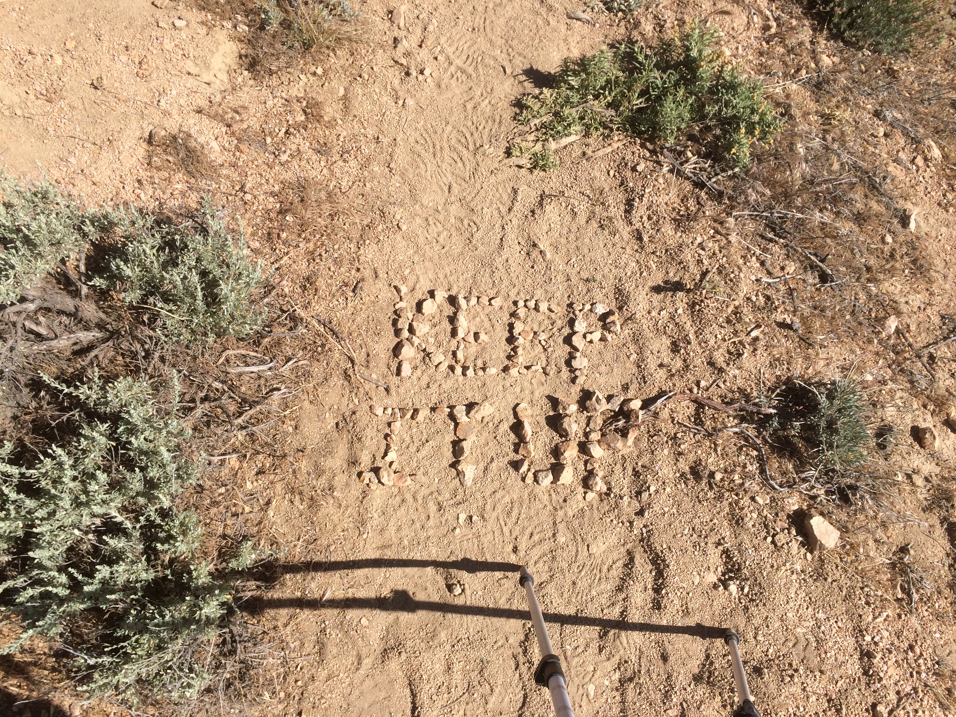
Did 25 miles that night (mile 627). I’m finally back in the groove!